Bentley Carr
Wood, Forest in Derbyshire Derbyshire Dales
England
Bentley Carr
Bentley Carr is a village located in Derbyshire, England. It is situated within the district of South Derbyshire, specifically in the area known as Wood, Forest. The village is surrounded by picturesque countryside, with rolling hills and dense woodlands, providing a tranquil and scenic setting for its residents.
Bentley Carr is a small village, with a population of around 500 people. The community is tight-knit, and residents enjoy a sense of belonging and camaraderie. The village is well-connected to nearby towns and cities, with good transportation links making it easily accessible.
The natural beauty of the area is one of the main attractions of Bentley Carr. The surrounding woodlands offer ample opportunities for outdoor activities such as hiking, cycling, and birdwatching. The village is also located near several nature reserves and parks, providing additional recreational options for nature enthusiasts.
In terms of amenities, Bentley Carr has a few local shops and services to cater to the needs of its residents. However, for more extensive shopping and entertainment options, residents can easily access the nearby towns and cities.
Overall, Bentley Carr offers a peaceful and idyllic rural lifestyle, with its stunning natural surroundings and close-knit community. It is a place where residents can enjoy the beauty of the countryside while still having access to essential amenities and nearby urban centers.
If you have any feedback on the listing, please let us know in the comments section below.
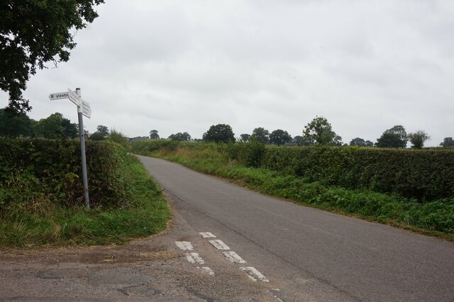
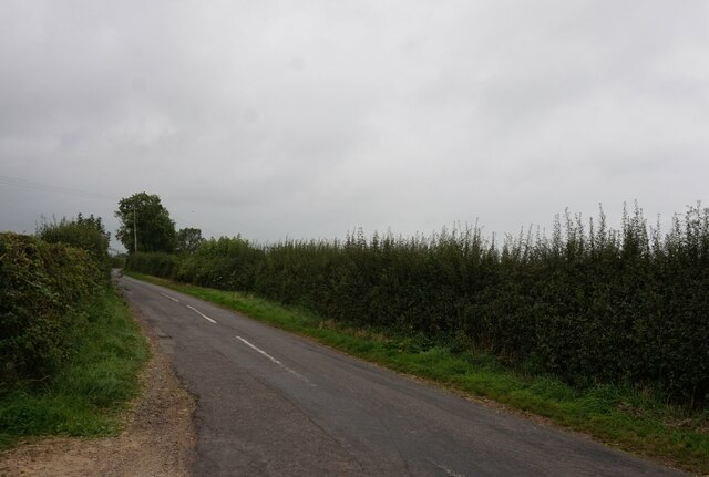
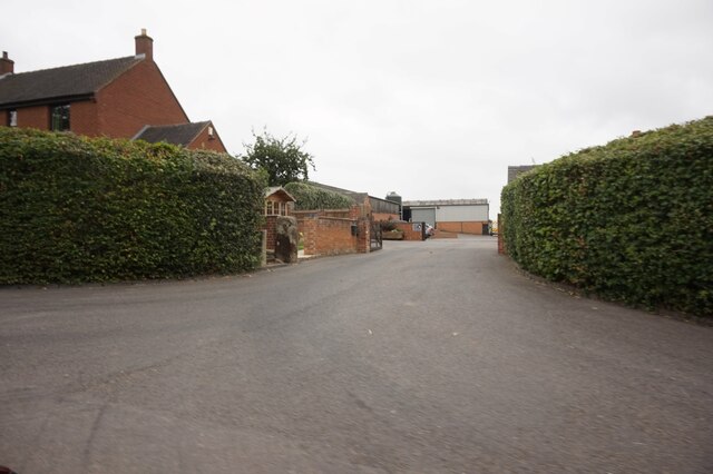
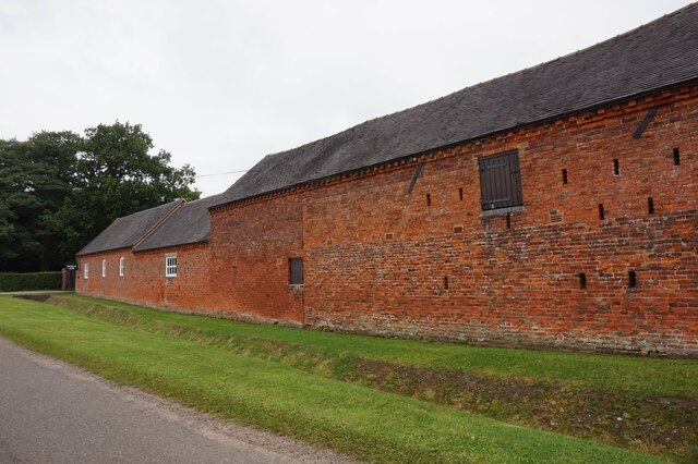
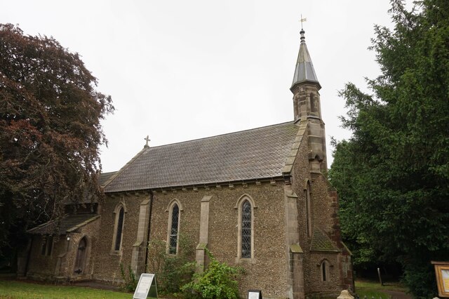
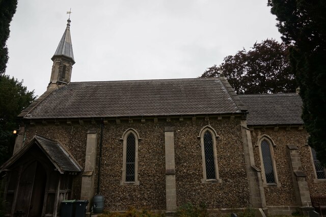
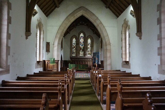
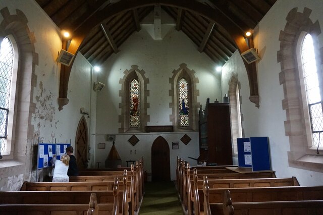
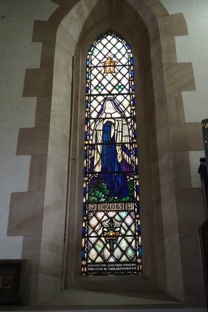
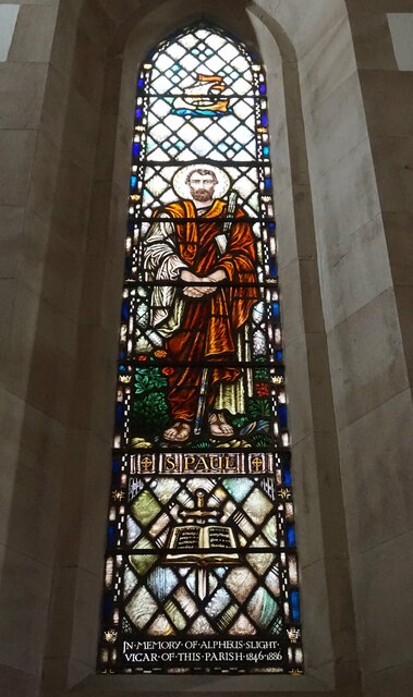
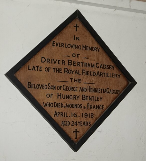
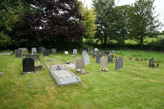
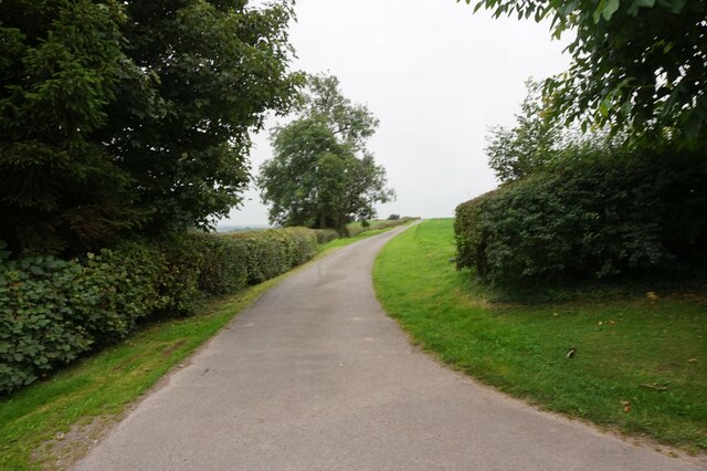
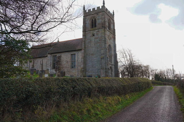
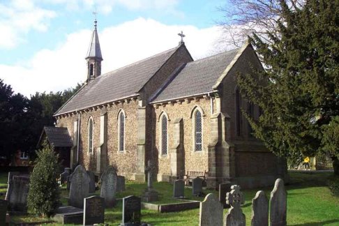
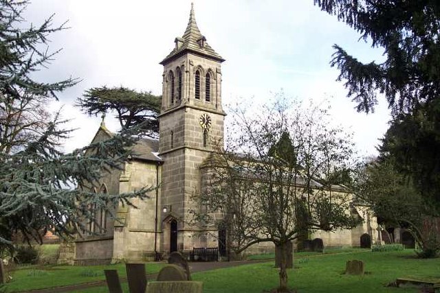
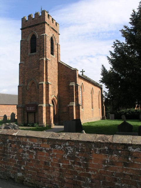
Bentley Carr Images
Images are sourced within 2km of 52.939469/-1.7276767 or Grid Reference SK1838. Thanks to Geograph Open Source API. All images are credited.


Bentley Carr is located at Grid Ref: SK1838 (Lat: 52.939469, Lng: -1.7276767)
Administrative County: Derbyshire
District: Derbyshire Dales
Police Authority: Derbyshire
What 3 Words
///pile.cursing.headrest. Near Mayfield, Staffordshire
Nearby Locations
Related Wikis


Nearby Amenities
Located within 500m of 52.939469,-1.7276767Have you been to Bentley Carr?
Leave your review of Bentley Carr below (or comments, questions and feedback).