Southleigh

Civil Parish in Devon East Devon

England

Southleigh

The valley south of Southleigh The woodland in the centre is just south of Tottiskay Farm (hidden by the hedge)
The valley south of Southleigh Credit: David Smith

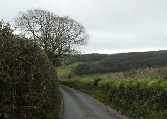
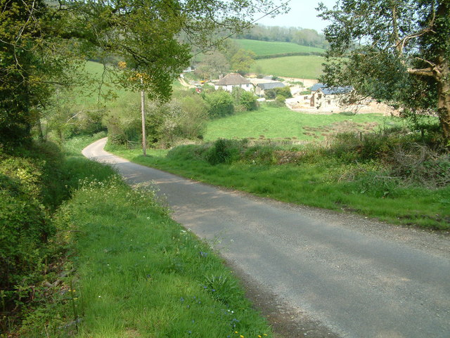
Southleigh is a civil parish located in the East Devon district of the county of Devon, England. It is a small rural village situated about 3 miles northeast of Colyton and 4 miles south of Honiton. The parish covers an area of approximately 4 square miles and is surrounded by stunning countryside, offering picturesque views and a tranquil atmosphere.

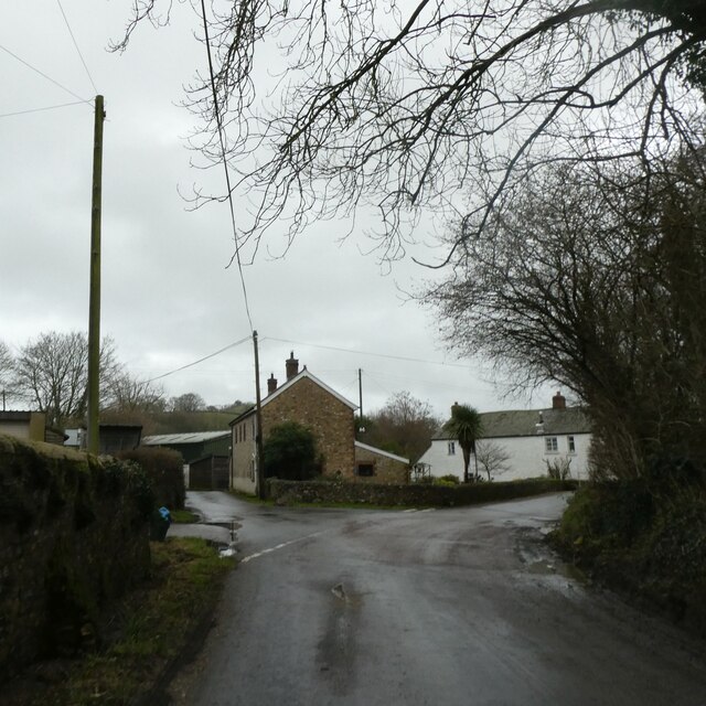
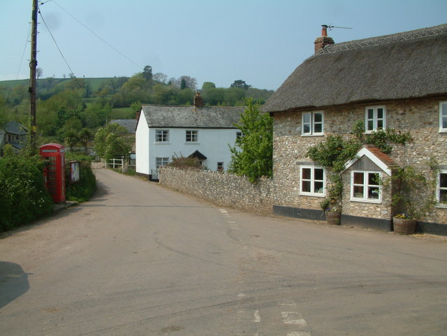
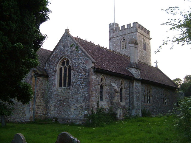
The village itself is characterized by its traditional thatched cottages, charming old houses, and a beautiful 13th-century church called St. Lawrence. The church is a notable architectural landmark, featuring a striking tower and a well-preserved interior with intricate stone carvings. Southleigh's population is relatively small, with around 200 residents, contributing to the village's close-knit community feel.

The surrounding countryside provides ample opportunities for outdoor activities, such as hiking, cycling, and horseback riding. The area is also known for its diverse wildlife and is home to several nature reserves and designated Areas of Outstanding Natural Beauty. The River Coly flows through the parish, offering fishing enthusiasts a chance to catch trout.

Although primarily a residential area, Southleigh does not have any shops or amenities within the village itself. However, the neighboring towns of Colyton and Honiton provide easy access to essential services, including shops, schools, and healthcare facilities.

Overall, Southleigh, Devon is a charming and peaceful village that offers residents and visitors alike a chance to enjoy the beauty of the countryside and experience a traditional English rural lifestyle.

If you have any feedback on the listing, please let us know in the comments section below.
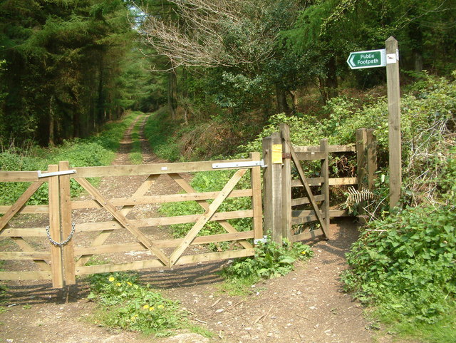
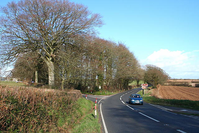
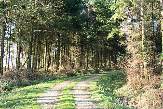
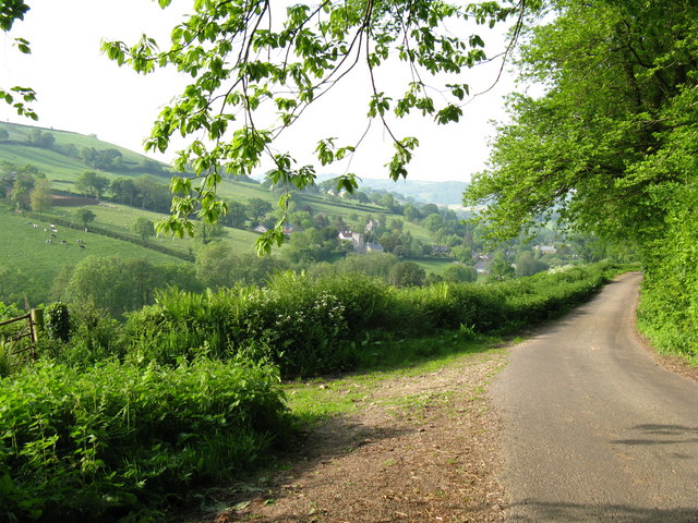
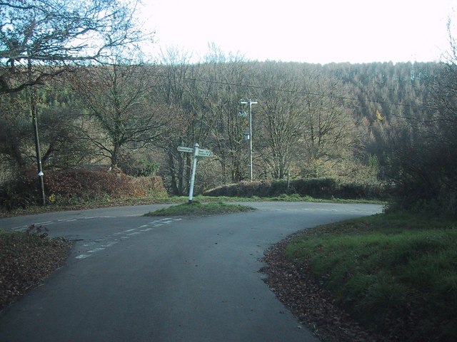
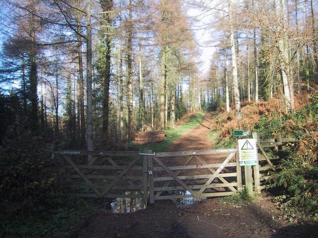
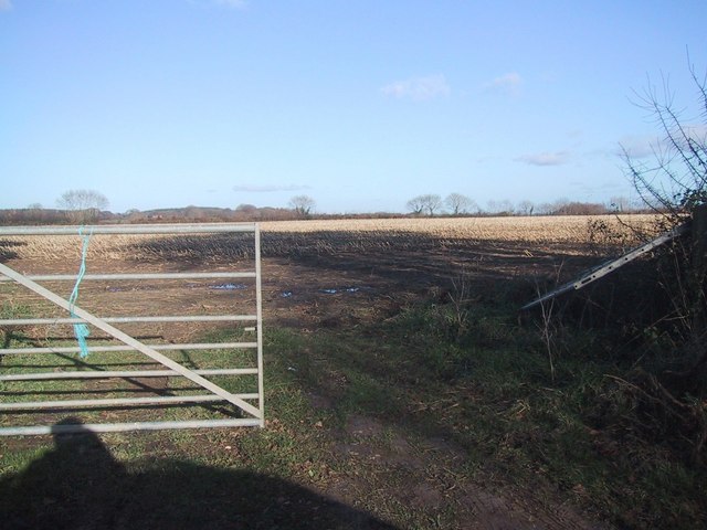
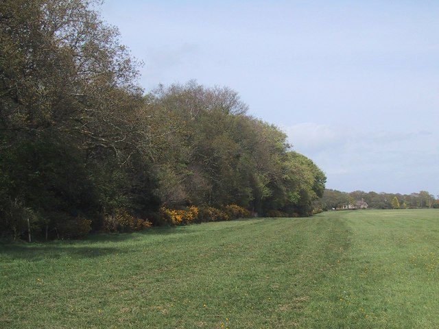
Southleigh Images

Images are sourced within 2km of 50.725324/-3.137555 or Grid Reference SY1992. Thanks to Geograph Open Source API. All images are credited.

The valley south of Southleigh The woodland in the centre is just south of Tottiskay Farm (hidden by the hedge)
The valley south of Southleigh
The woodland in the centre is just south of Tottiskay Farm (hidden by the hedge)
Road junction in Southleigh, and bridge over stream
Southleigh Village, Devon Southleigh is located within East Devon local authority area. Historically it formed part of Colyton Hundred.
Southleigh Village, Devon
Southleigh is located within East Devon local authority area. Historically it formed part of Colyton Hundred.
Stockham, Devon This is about 2 miles north of Hangmans Stone on the A35. Lots of building work was taking place when the photo was taken.
Stockham, Devon
This is about 2 miles north of Hangmans Stone on the A35. Lots of building work was taking place when the photo was taken.
Footpath, Bovey Down, Devon This is just north of the A35.
Footpath, Bovey Down, Devon
This is just north of the A35.
Beer: Stafford Cross On the A3052 Exeter – Lyme Regis road, looking east-north-east towards Colyford. The left turn leads to Colyton. The lane on the right runs up from Branscombe and Beer. The crossroads is on the boundary between Beer and Colyton parishes
Beer: Stafford Cross
On the A3052 Exeter – Lyme Regis road, looking east-north-east towards Colyford. The left turn leads to Colyton. The lane on the right runs up from Branscombe and Beer. The crossroads is on the boundary between Beer and Colyton parishes
Southleigh: Morganhayes Once Morganhayes Covert, now a Forestry Commission plantation. Looking north
Southleigh: Morganhayes
Once Morganhayes Covert, now a Forestry Commission plantation. Looking north
Southleigh: nearing the village Looking west with Glebe House on the hill on the right
Southleigh: nearing the village
Looking west with Glebe House on the hill on the right
Lane to Southleigh Village Country Lane from Blackbury Camp to Southleigh Village
Lane to Southleigh Village
Country Lane from Blackbury Camp to Southleigh Village
Road junction north-west of Bovey Down
Forest track on Bovey Down
Stubble field near Bovey House The map indicates forest in this area, but there is no sign of it on the ground.  (Nor on my - older - map.)
Stubble field near Bovey House
The map indicates forest in this area, but there is no sign of it on the ground. (Nor on my - older - map.)
Gorse growing along the hedgeline
Paths cross in the woods on Bovey Down
Bluebells at the edge of the woods on Bovey Down
Trees block a woodland ride on Bovey Down
Hangman's Stone Marked on OS maps this moss covered stone, by the A3052, is set in a base of overgrown stone slabs.
Hangman's Stone
Marked on OS maps this moss covered stone, by the A3052, is set in a base of overgrown stone slabs.
Gateway to field west of Southleigh The gateway leads to the top of a steeply sloping field.  There is a reasonably level track along the hedge, contouring around the hillside
Gateway to field west of Southleigh
The gateway leads to the top of a steeply sloping field. There is a reasonably level track along the hedge, contouring around the hillside
Show me another place!

Southleigh is located at Grid Ref: SY1992 (Lat: 50.725324, Lng: -3.137555)

Administrative County: Devon

District: East Devon

Police Authority: Devon & Cornwall

What 3 Words

///afflict.snacking.merge. Near Colyton, Devon

Related Wikis

Blackbury Camp

Blackbury Camp, also known as Blackbury Castle, is an Iron Age hill fort in Devon, England. It is managed by English Heritage. == Location == Blackbury...

Wiscombe Park Hillclimb

Wiscombe Park Hillclimb is a British hillclimb, situated in Colyton, Devon. The course, which is 1000 yards (914 metres) in length — the same as Shelsley...

Wiscombe Park

Wiscombe Park is a 19th-century Gothic country house in Southleigh, Devon, UK which stands in parkland some 3 miles west of Colyton. The house is a grade...

Southleigh

Southleigh is a village and civil parish in the East Devon district of Devon, England. Its nearest town is Colyton, which lies approximately 3 miles (4...

Bolshayne Fen

Bolshayne Fen (grid reference SY222938) is a wetland in southeast Devon, England. It has an area of 1.62 hectares. The site was designated as a Site of...

Woodbridge, Devon

Woodbridge is a hamlet in Farway civil parish, south-south-east of the town of Honiton, in the English county of Devon. The OS grid reference is SY1895...

Beer Quarry Caves

Beer Quarry Caves is a man-made limestone underground complex located about a mile west of the village of Beer, Devon, and the main source in England for...

Farway

Farway is a small village, civil parish and former manor in the East Devon district of Devon, England. The village is situated about 3+1⁄2 miles (5.6 km...

Nearby Amenities

Located within 500m of 50.725324,-3.137555
Generator Method: photovoltaic
Generator Output Electricity: yes
Generator Source: solar
Generator Type: solar_photovoltaic_panel
Location: roof
Power: generator
Source: Bing
Lat/Long: 50.721483/-3.140624
The data included in this document is from www.openstreetmap.org. The data is made available under ODbL.

Have you been to Southleigh?

Leave your review of Southleigh below (or comments, questions and feedback).