Tower Plantation
Wood, Forest in Devon East Devon
England
Tower Plantation
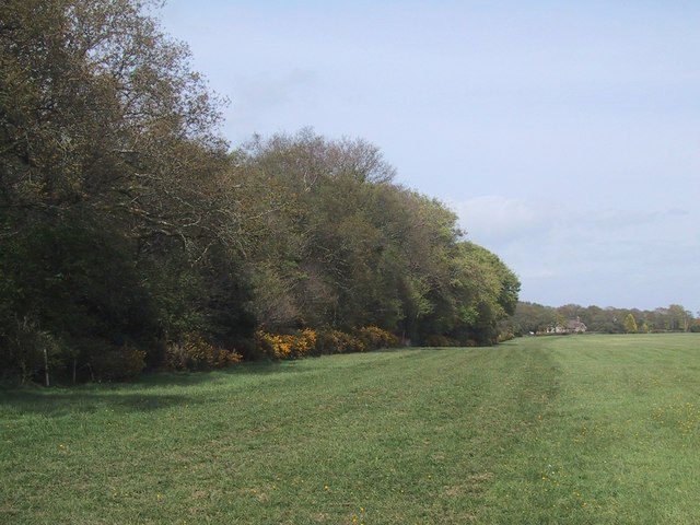
Tower Plantation is a picturesque woodland located in the county of Devon, England. Situated near the town of Wood, the plantation covers an expansive area of lush greenery, making it a popular destination for nature enthusiasts and outdoor enthusiasts alike.
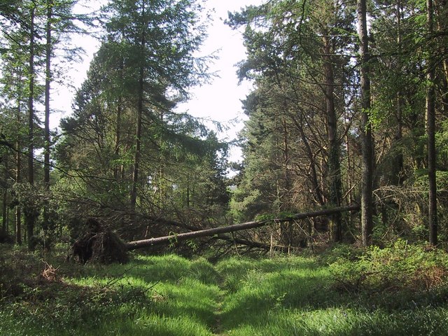
The plantation is primarily composed of a diverse range of deciduous and coniferous trees, creating a rich tapestry of colors throughout the seasons. Towering oak, beech, and ash trees dominate the landscape, providing a haven for numerous wildlife species. The forest floor is adorned with a thick carpet of ferns, bluebells, and wildflowers, adding to the enchanting atmosphere of the woodland.
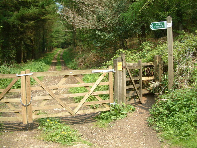
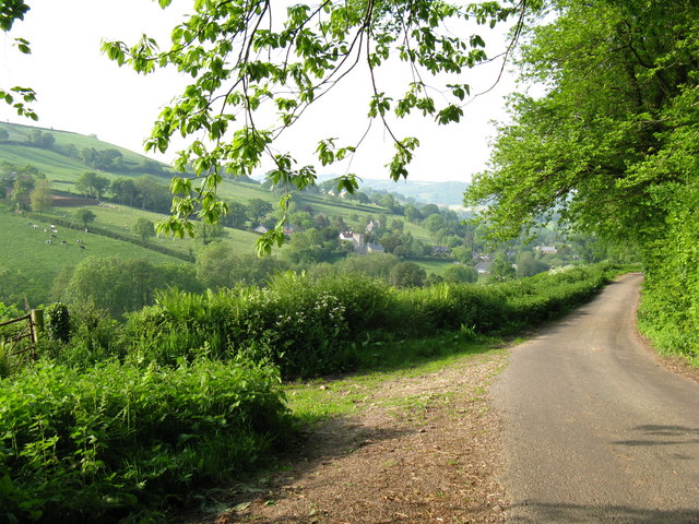
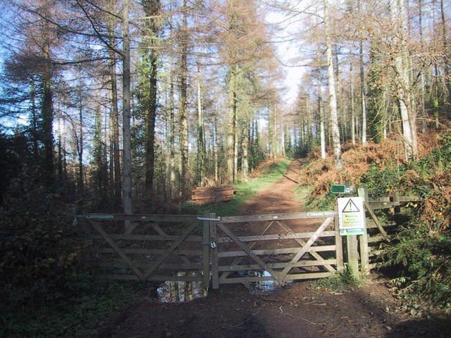
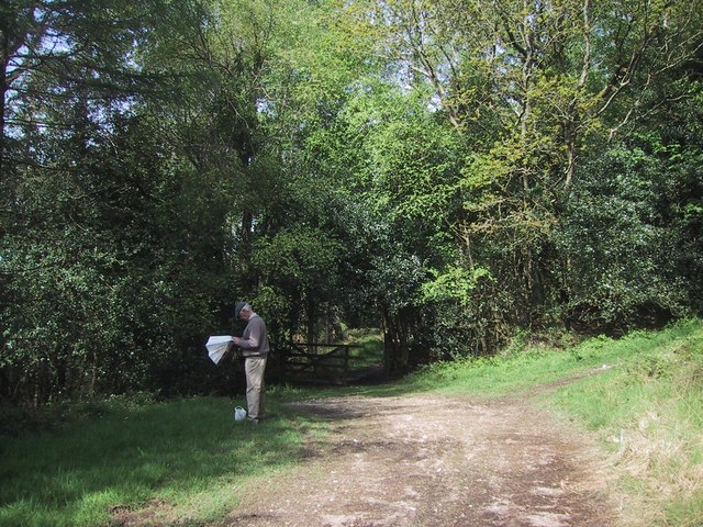
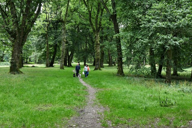
Traversing through Tower Plantation, visitors can find well-maintained footpaths that wind their way through the trees, offering a tranquil and peaceful setting for walking, jogging, or simply immersing oneself in nature. These paths also provide access to various viewpoints, allowing visitors to admire the stunning panoramic vistas of the surrounding countryside.
The plantation is home to a variety of wildlife, including deer, foxes, and a wealth of bird species. Birdwatchers will be delighted by the chance to spot woodpeckers, owls, and numerous other feathered creatures that call Tower Plantation their home.
Tower Plantation also offers several picnic spots and benches, providing visitors with the perfect opportunity to relax and enjoy a scenic lunch amidst the natural beauty of the woodland. Additionally, the plantation hosts educational programs and guided walks for those interested in learning more about the local flora and fauna.
Overall, Tower Plantation in Devon is a captivating woodland retreat, offering a tranquil escape from the hustle and bustle of everyday life, and a chance to connect with nature in all its splendor.
If you have any feedback on the listing, please let us know in the comments section below.
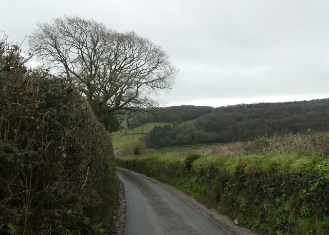
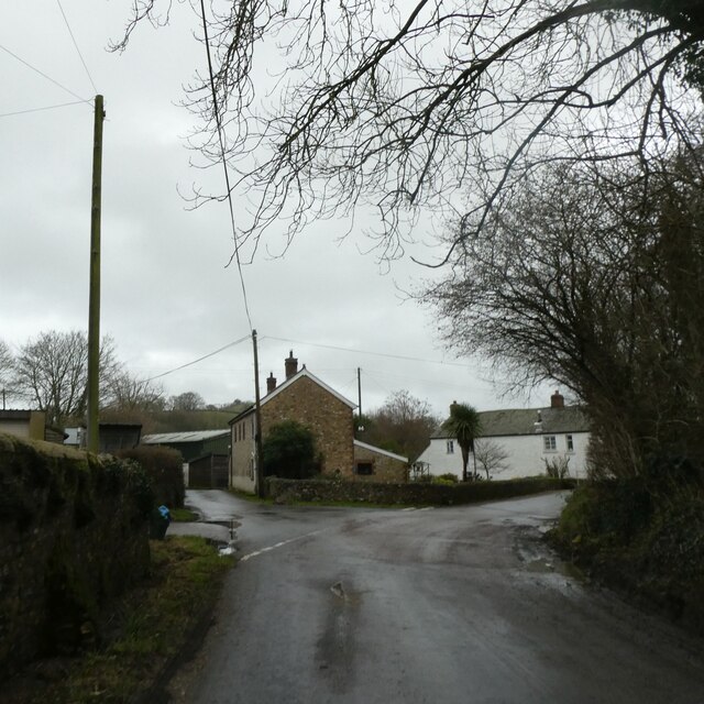
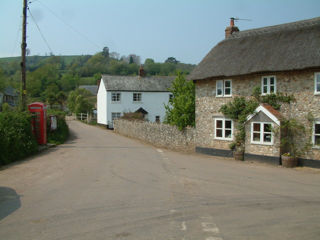
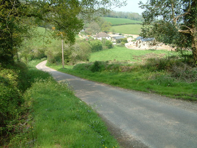
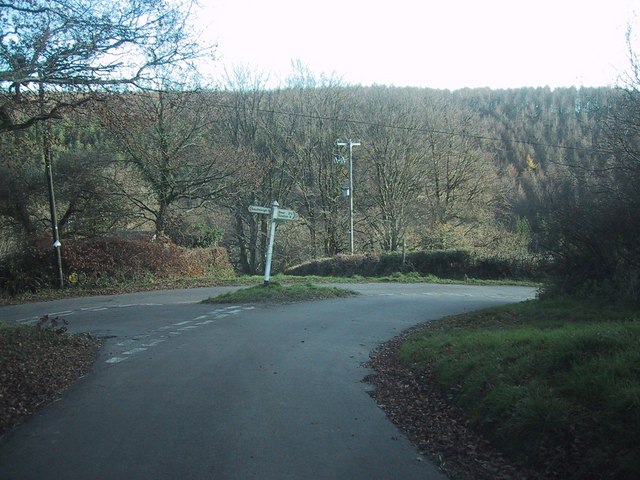
Tower Plantation Images
Images are sourced within 2km of 50.725559/-3.1438211 or Grid Reference SY1992. Thanks to Geograph Open Source API. All images are credited.


Tower Plantation is located at Grid Ref: SY1992 (Lat: 50.725559, Lng: -3.1438211)
Administrative County: Devon
District: East Devon
Police Authority: Devon and Cornwall
What 3 Words
///rattled.pony.character. Near Colyton, Devon
Nearby Locations
Related Wikis

Blackbury Camp
Blackbury Camp, also known as Blackbury Castle, is an Iron Age hill fort in Devon, England. It is managed by English Heritage. == Location == Blackbury...

Wiscombe Park Hillclimb
Wiscombe Park Hillclimb is a British hillclimb, situated in Colyton, Devon. The course, which is 1000 yards (914 metres) in length — the same as Shelsley...
Wiscombe Park
Wiscombe Park is a 19th-century Gothic country house in Southleigh, Devon, UK which stands in parkland some 3 miles west of Colyton. The house is a grade...
Southleigh
Southleigh is a village and civil parish in the East Devon district of Devon, England. Its nearest town is Colyton, which lies approximately 3 miles (4...
Woodbridge, Devon
Woodbridge is a hamlet in Farway civil parish, south-south-east of the town of Honiton, in the English county of Devon. The OS grid reference is SY1895...
Bolshayne Fen
Bolshayne Fen (grid reference SY222938) is a wetland in southeast Devon, England. It has an area of 1.62 hectares. The site was designated as a Site of...
Farway
Farway is a small village, civil parish and former manor in the East Devon district of Devon, England. The village is situated about 3+1⁄2 miles (5.6 km...

Street, Devon
Street is a small village in the East Devon district of Devon, England. Its nearest town is Sidmouth, which lies approximately 4 miles (6.4 km) south-west...
Have you been to Tower Plantation?
Leave your review of Tower Plantation below (or comments, questions and feedback).