Bryn yr Eithin
Settlement in Flintshire
Wales
Bryn yr Eithin
The requested URL returned error: 429 Too Many Requests
If you have any feedback on the listing, please let us know in the comments section below.
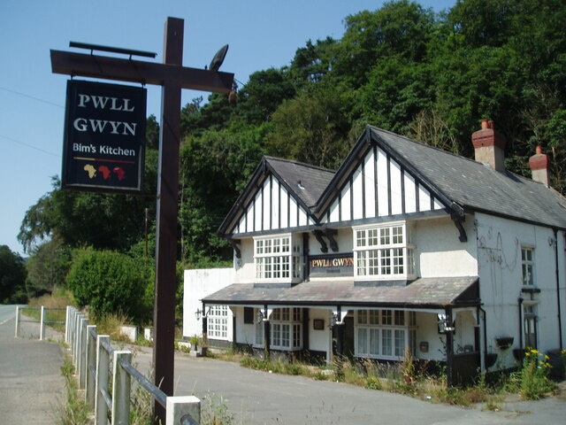
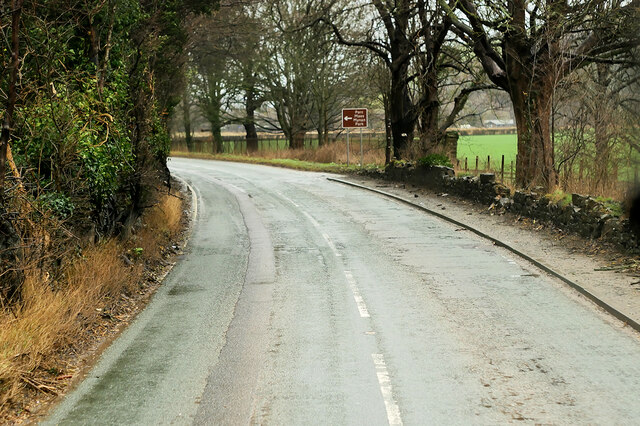
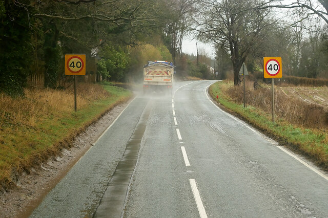
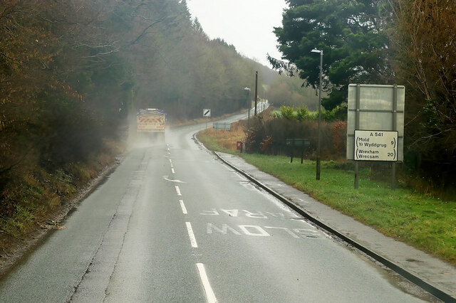
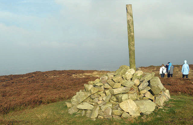
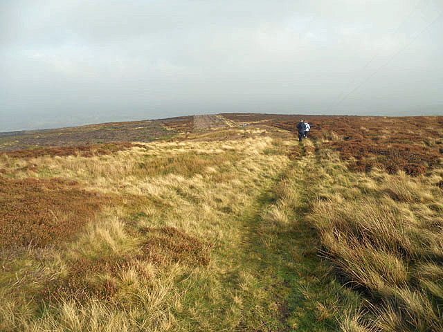
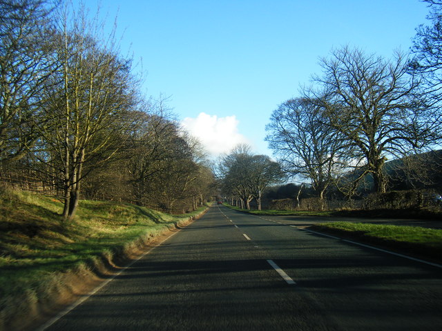
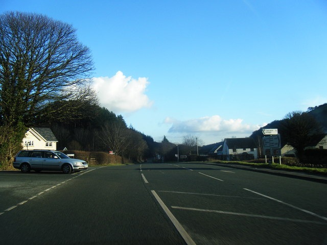
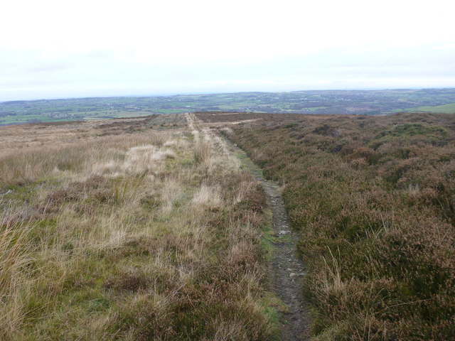
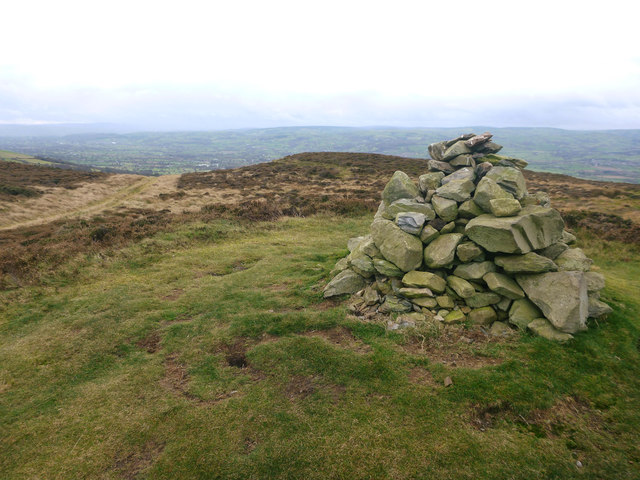
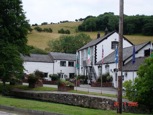
Bryn yr Eithin Images
Images are sourced within 2km of 53.226425/-3.298843 or Grid Reference SJ1370. Thanks to Geograph Open Source API. All images are credited.


Bryn yr Eithin is located at Grid Ref: SJ1370 (Lat: 53.226425, Lng: -3.298843)
Unitary Authority: Flintshire
Police Authority: North Wales
What 3 Words
///audit.website.seatbelt. Near Whitford, Flintshire
Nearby Locations
Related Wikis
Afonwen
Afonwen ([ˌavɔnˈwɛn]; Welsh: Afon-wen) is a village in Flintshire, Wales. It is situated just under four miles from the A55 North Wales Expressway and...

Ddol Uchaf
Ddol Uchaf (also known as Y Ddol Uchaf) is a Site of Special Scientific Interest located near Ysceifiog, Flintshire, Wales. It has been selected as an...
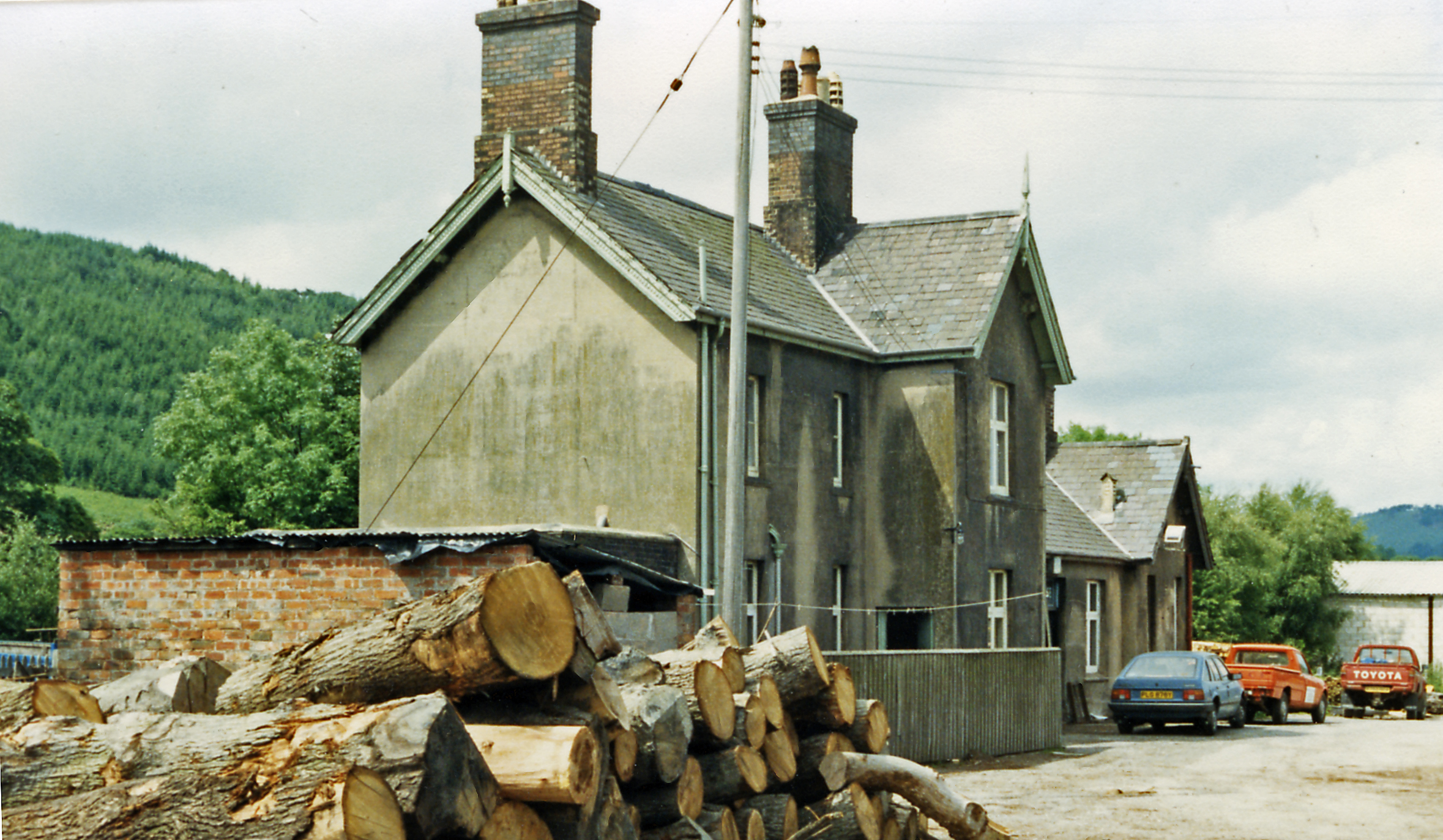
Caerwys railway station
Caerwys railway station was a station in Afonwen, Flintshire, Wales. The station was named for nearby Caerwys, opened on 6 September 1869 and closed on...

Moel-y-Parc transmitting station
The Moel-y-Parc transmitting station is situated on Moel y Parc, a hill in north-east Wales at the northern end of the Clwydian range, close to the town...
Nearby Amenities
Located within 500m of 53.226425,-3.298843Have you been to Bryn yr Eithin?
Leave your review of Bryn yr Eithin below (or comments, questions and feedback).