Bryn Tanat
Settlement in Montgomeryshire
Wales
Bryn Tanat
The requested URL returned error: 429 Too Many Requests
If you have any feedback on the listing, please let us know in the comments section below.
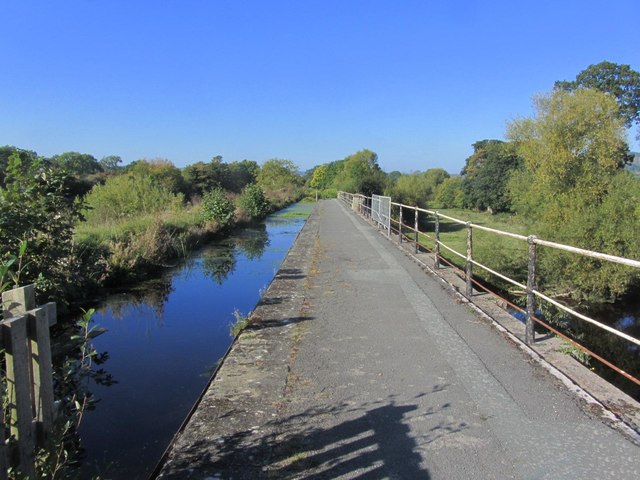
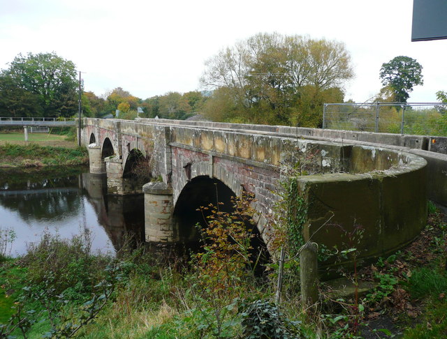
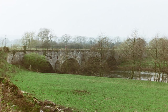
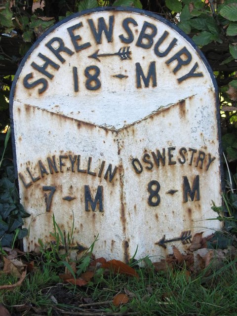
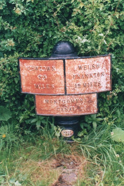
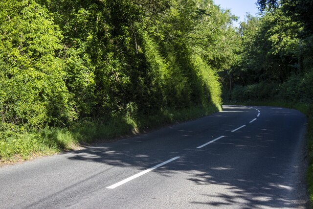
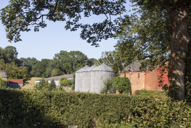
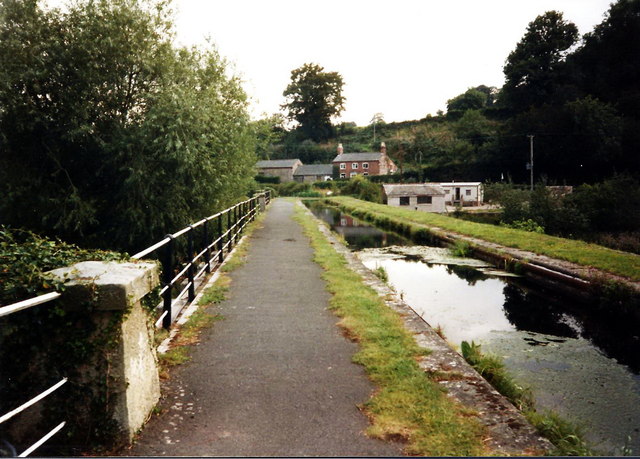
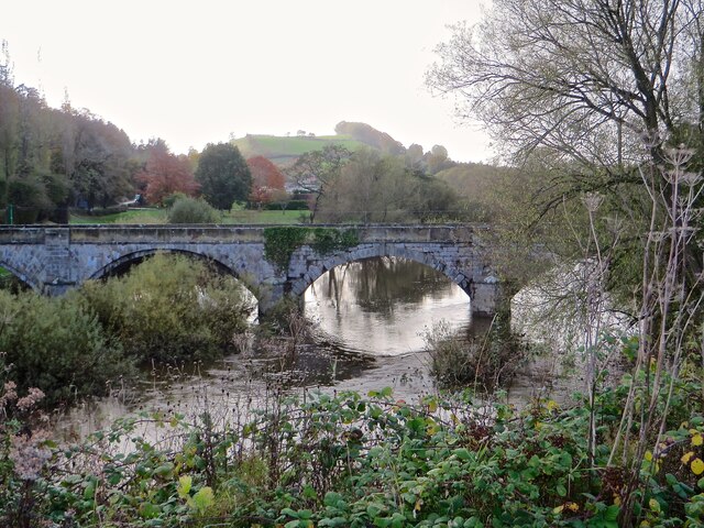
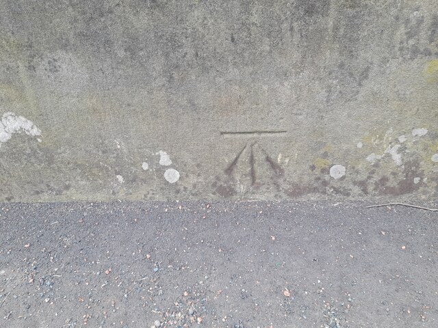
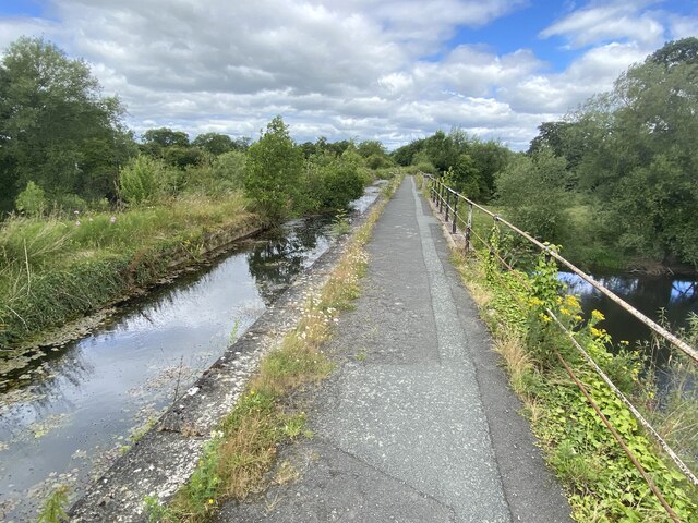
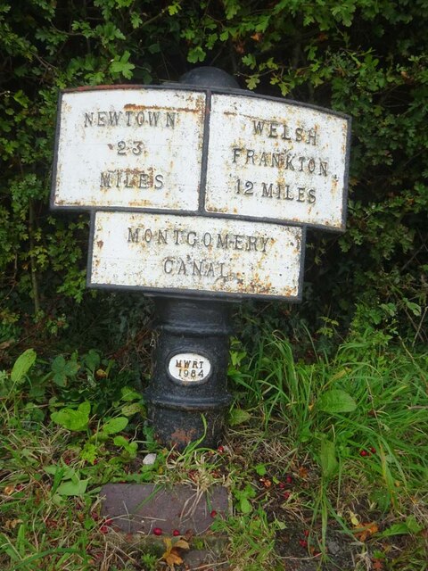
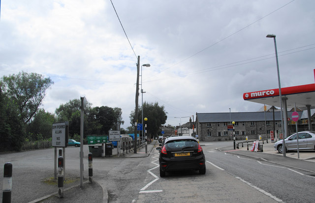
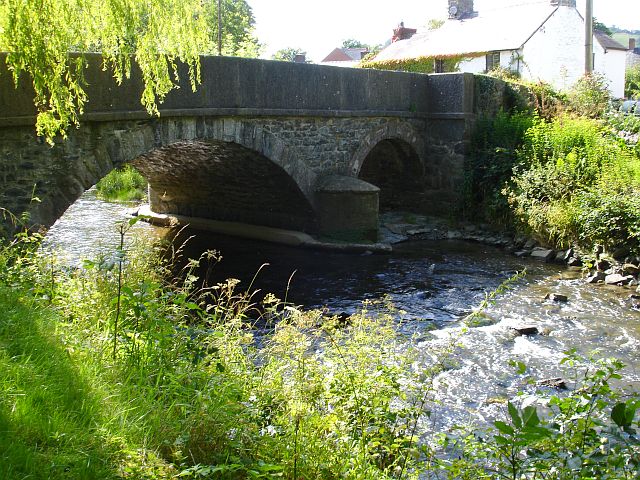
Bryn Tanat Images
Images are sourced within 2km of 52.781209/-3.1282016 or Grid Reference SJ2421. Thanks to Geograph Open Source API. All images are credited.


Bryn Tanat is located at Grid Ref: SJ2421 (Lat: 52.781209, Lng: -3.1282016)
Unitary Authority: Powys
Police Authority: Dyfed Powys
What 3 Words
///visual.driving.fuses. Near Pant, Shropshire
Nearby Locations
Related Wikis

Afon Tanat
Afon Tanat is a river in northern Powys, Wales. Its source is close to the Cyrniau Nod mountain, to the north of Lake Vyrnwy. The river flows in a generally...
River Cain
The River Cain (Afon Cain in Welsh) is a river in north Powys which flows into the River Vyrnwy. Cain's source is just west of Llanfyllin, at the confluence...

Llanyblodwel Halt railway station
Llanyblodwel Halt railway station was a station in Llanyblodwel, Shropshire, England, on the Tanat Valley Light Railway. The station opened in 1904 and...
Llansantffraid railway station
Llansantffraid railway station is a former station in Llansantffraid-ym-Mechain, Powys, Wales. The station opened in 1863 and closed in 1965. The station...
Have you been to Bryn Tanat?
Leave your review of Bryn Tanat below (or comments, questions and feedback).