Brynsaithmarchog
Settlement in Merionethshire
Wales
Brynsaithmarchog

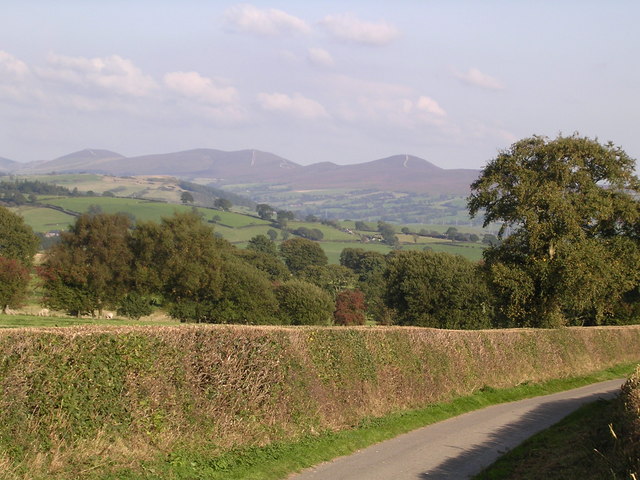
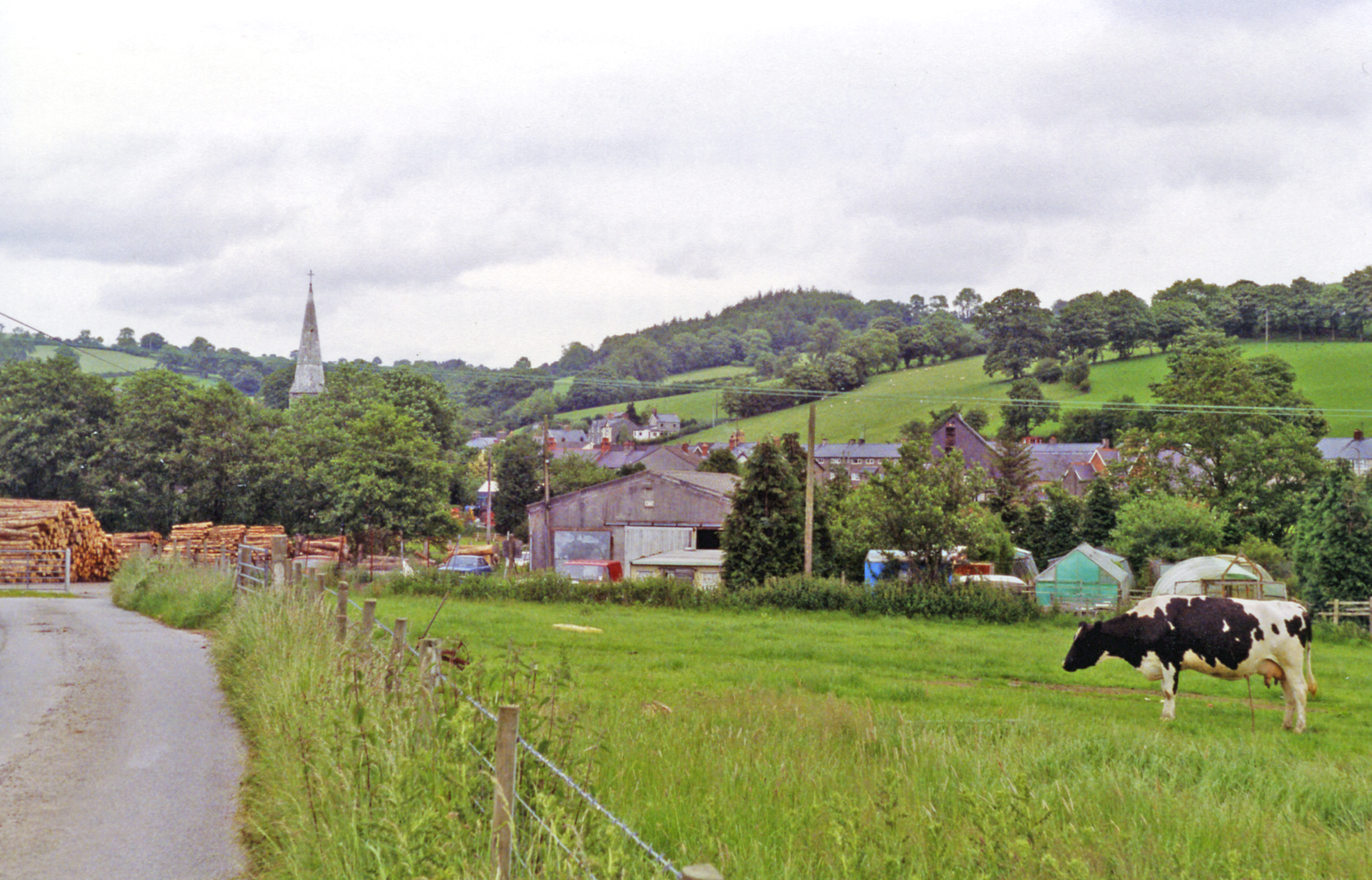
Brynsaithmarchog is a small village located in the historic county of Merionethshire, in Wales, United Kingdom. Situated in the scenic Snowdonia National Park, the village is nestled amidst rolling hills and picturesque landscapes. It is approximately 5 miles southeast of the town of Dolgellau.
The name Brynsaithmarchog translates to "Hill of the Seven Knights" in English. The village is believed to have derived its name from a local legend that tells the tale of seven knights who once resided in the area.
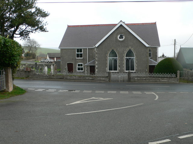
The village itself is characterized by its quaint charm and traditional Welsh architecture. It consists of a small collection of stone cottages, a local church, and a village hall. The surrounding countryside offers breathtaking views of the nearby mountains and valleys, making it a popular destination for nature lovers and hikers.
Although Brynsaithmarchog is a small village, it benefits from its proximity to larger towns such as Dolgellau, which provides essential amenities and services. The village also enjoys a close-knit community spirit, with residents engaging in various social activities and events throughout the year.
Tourism plays a significant role in the local economy, with visitors attracted by the village's tranquil ambiance and natural beauty. The area offers numerous outdoor activities, including hiking, cycling, and fishing, making it a desirable destination for outdoor enthusiasts.
Overall, Brynsaithmarchog is a charming village set in a stunning natural landscape, offering a peaceful retreat for those seeking a rural getaway in the heart of Wales.
If you have any feedback on the listing, please let us know in the comments section below.
Brynsaithmarchog Images
Images are sourced within 2km of 53.039579/-3.381967 or Grid Reference SJ0750. Thanks to Geograph Open Source API. All images are credited.


![Derwen church house Dated 1905, and situated beside the historic cross. It served as a schoolroom for a time. See <a href="https://www.geograph.org.uk/photo/2684215">SJ0750 : Derwen church house and cross</a>] for a positional, alongside the old preaching cross.](https://s0.geograph.org.uk/geophotos/02/68/42/2684212_8e7aca44.jpg)


Brynsaithmarchog is located at Grid Ref: SJ0750 (Lat: 53.039579, Lng: -3.381967)
Unitary Authority: Denbighshire
Police Authority: North Wales
Also known as: Bryn Saith Marchog
What 3 Words
///sediment.bathtubs.deferring. Near Derwen, Denbighshire
Nearby Locations
Related Wikis

Derwen railway station
Derwen railway station was a station in Derwen, Denbighshire, Wales. The station was opened on 6 October 1864 and closed for passengers in 1953 and completely...
Derwen
Derwen (historically, Derwen-dêg-fawr) is a rural village in the south of Denbighshire, Wales. It lies approximately halfway between Corwen and Ruthin...

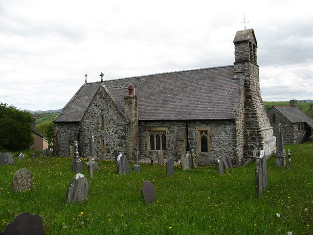
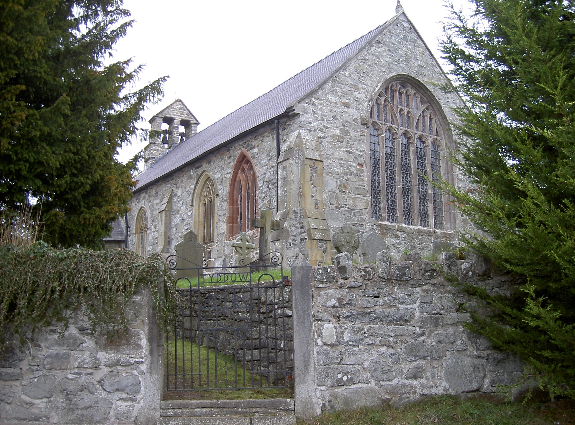
St Mary's Church, Derwen
St Mary's Church, Derwen, is a redundant church in the centre of the village of Derwen, Denbighshire, Wales. It is designated by Cadw as a Grade I listed...
Clawddnewydd
Clawddnewydd is a village in the community of Derwen, Denbighshire. The village has a community centre (Canolfan Cae Cymro), a shop (Siop y Fro) and a...

Llanelidan
Llanelidan is a small village and community in the county of Denbighshire in north-east Wales. The community also includes the hamlet of Rhyd-y-Meudwy...
Gwyddelwern
Gwyddelwern is a small village and community of 508 residents, reducing to 500 at the 2011 census, situated approximately 2 miles (3.2 km) north of Corwen...
Gwyddelwern railway station
Gwyddelwern railway station was a station in Gwyddelwern, Denbighshire, Wales. The station was opened on 1 March 1863, closed to passengers on 2 February...
St Elidan's Church, Llanelidan
St Elidan's Church is a Grade II*-listed building in the community of Llanelidan in Denbighshire, Wales. == References == == External links == Media related...
Nearby Amenities
Located within 500m of 53.039579,-3.381967Have you been to Brynsaithmarchog?
Leave your review of Brynsaithmarchog below (or comments, questions and feedback).