Bryn Saith Marchog
Settlement in Merionethshire
Wales
Bryn Saith Marchog

Bryn Saith Marchog is a small village located in the county of Merionethshire in Wales. The village is situated in a rural area surrounded by rolling green hills and picturesque countryside. The name Bryn Saith Marchog translates to "Hill of Seven Knights" in English.
The village is known for its quaint charm and peaceful atmosphere, making it an ideal destination for those looking to escape the hustle and bustle of city life. Bryn Saith Marchog has a small population, with a close-knit community that takes pride in maintaining the beauty of their surroundings.
Local attractions in Bryn Saith Marchog include scenic walking trails, historic landmarks, and traditional Welsh pubs where visitors can sample local cuisine and beverages. The village also hosts various events throughout the year, such as fairs and festivals, that celebrate Welsh culture and heritage.
Overall, Bryn Saith Marchog offers a tranquil and idyllic setting for those seeking a relaxing getaway in the heart of the Welsh countryside.
If you have any feedback on the listing, please let us know in the comments section below.
Bryn Saith Marchog Images
Images are sourced within 2km of 53.039579/-3.381967 or Grid Reference SJ0750. Thanks to Geograph Open Source API. All images are credited.


![Derwen church house Dated 1905, and situated beside the historic cross. It served as a schoolroom for a time. See <a href="https://www.geograph.org.uk/photo/2684215">SJ0750 : Derwen church house and cross</a>] for a positional, alongside the old preaching cross.](https://s0.geograph.org.uk/geophotos/02/68/42/2684212_8e7aca44.jpg)


Bryn Saith Marchog is located at Grid Ref: SJ0750 (Lat: 53.039579, Lng: -3.381967)
Unitary Authority: Denbighshire
Police Authority: North Wales
Also known as: Brynsaithmarchog
What 3 Words
///sediment.bathtubs.deferring. Near Derwen, Denbighshire
Nearby Locations
Related Wikis

Derwen railway station
Derwen railway station was a station in Derwen, Denbighshire, Wales. The station was opened on 6 October 1864 and closed for passengers in 1953 and completely...
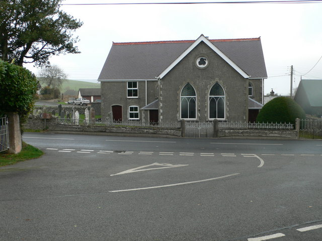
Derwen
Derwen (historically, Derwen-dêg-fawr) is a rural village in the south of Denbighshire, Wales. It lies approximately halfway between Corwen and Ruthin...

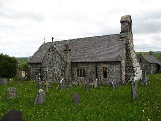
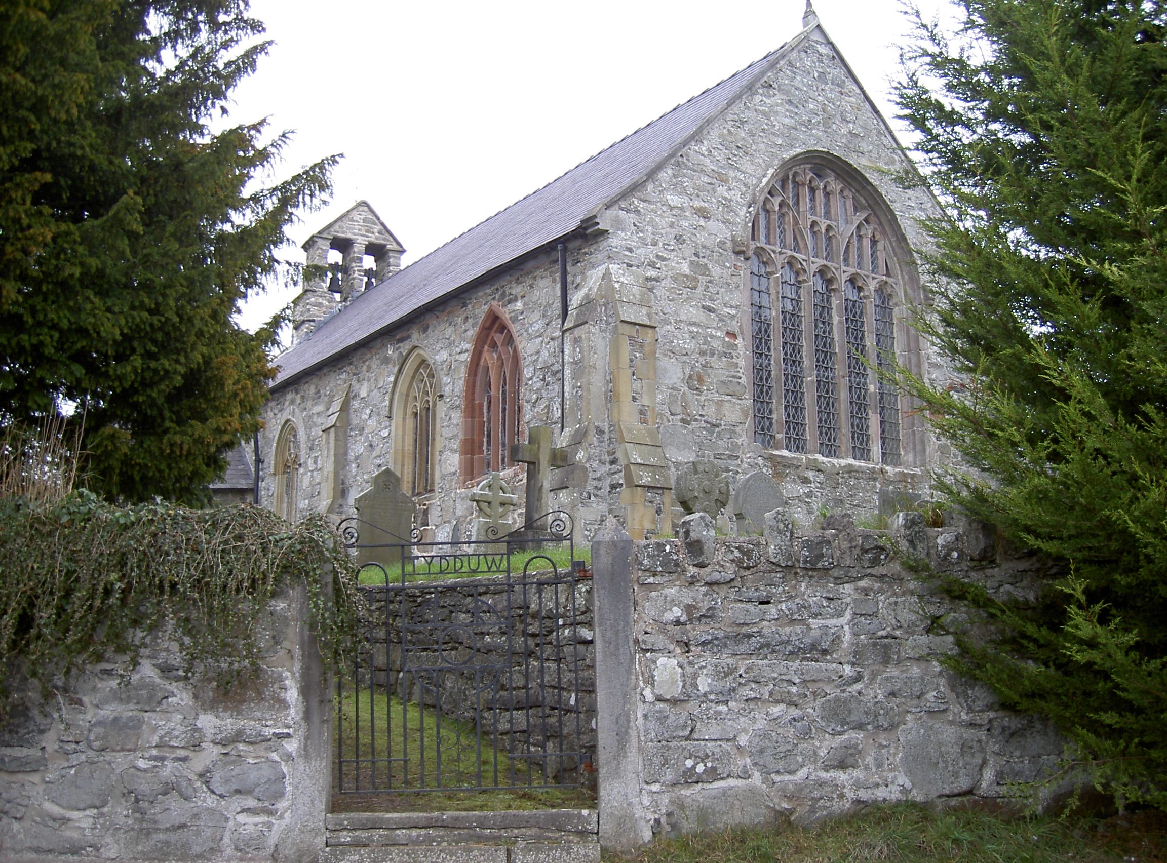
St Mary's Church, Derwen
St Mary's Church, Derwen, is a redundant church in the centre of the village of Derwen, Denbighshire, Wales. It is designated by Cadw as a Grade I listed...
Clawddnewydd
Clawddnewydd is a village in the community of Derwen, Denbighshire. The village has a community centre (Canolfan Cae Cymro), a shop (Siop y Fro) and a...
Nearby Amenities
Located within 500m of 53.039579,-3.381967Have you been to Bryn Saith Marchog?
Leave your review of Bryn Saith Marchog below (or comments, questions and feedback).