Brynafan

Settlement in Cardiganshire

Wales

Brynafan

New bungalow near Llanafan
New bungalow near Llanafan Credit: Alex McGregor

The requested URL returned error: 429 Too Many Requests

If you have any feedback on the listing, please let us know in the comments section below.
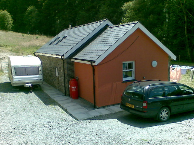
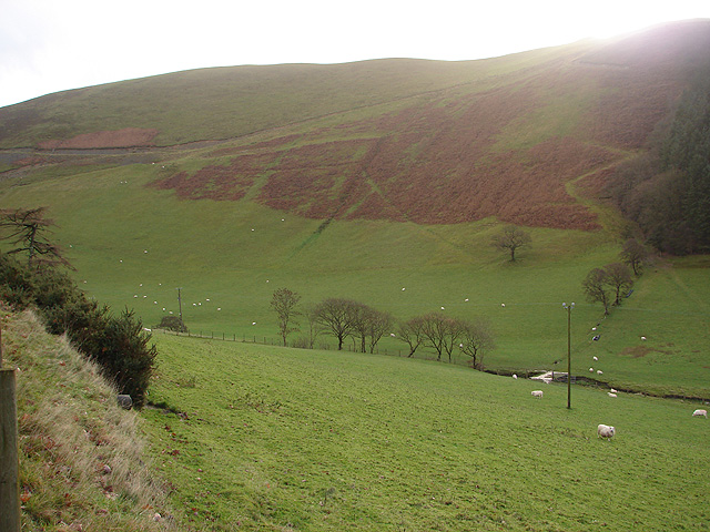
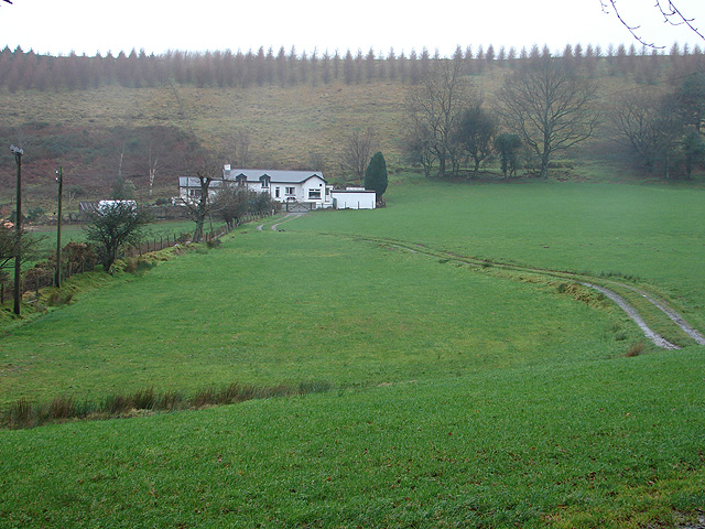
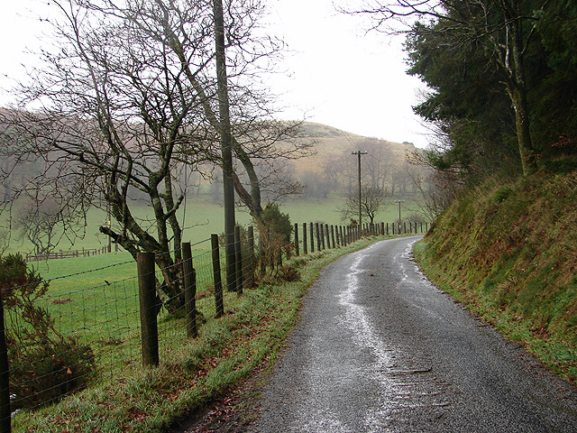
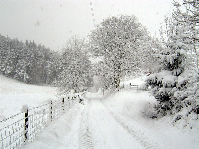
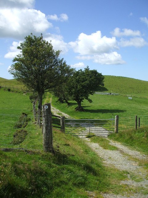
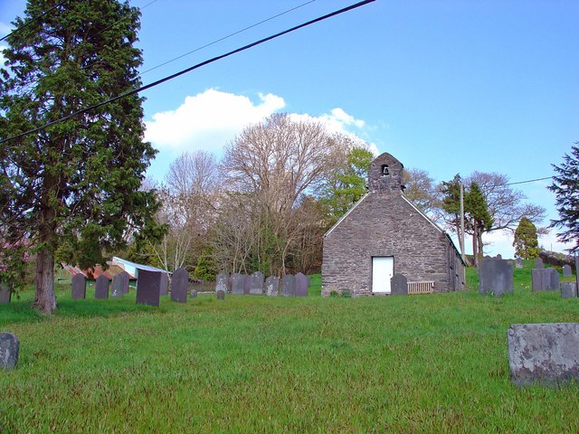
Brynafan Images

Images are sourced within 2km of 52.339271/-3.891471 or Grid Reference SN7172. Thanks to Geograph Open Source API. All images are credited.

New bungalow near Llanafan
Afon Ystwyth from Grogwynion Nature Reserve
Path through trees near Grogwynion Nature Reserve
Nant Cwmnewydion
Nant Cwmnewydion
Blaen y Waun Coed Tyn-y-cwm is beyond.
Blaen y Waun
Coed Tyn-y-cwm is beyond.
Lane at Blaen y Waun
Llanafan lane Snow in February 2007
Llanafan lane
Snow in February 2007
Bridle way near Disgwylfa
Lane at Gwarcwm The lane through the valley of Nant Pant-yr-haidd towards Brynafan.
Lane at Gwarcwm
The lane through the valley of Nant Pant-yr-haidd towards Brynafan.
Llwyn Gogau Seen from an island in the Afon Ystwyth, Llwyn Gogau is located on the steep northern slope of Cwm Ystwyth.  Because of the east-west alignment of the deep cut valley, the winter sun does not reach the valley bottom.  The shadow of the southern slope of the valley has a very sharp edge due to the crisp and cold air, which minimises scattered light.  The ground is covered in a thick layer of hoarfrost.
Llwyn Gogau
Seen from an island in the Afon Ystwyth, Llwyn Gogau is located on the steep northern slope of Cwm Ystwyth. Because of the east-west alignment of the deep cut valley, the winter sun does not reach the valley bottom. The shadow of the southern slope of the valley has a very sharp edge due to the crisp and cold air, which minimises scattered light. The ground is covered in a thick layer of hoarfrost.
Despite all Gorse is an amazing plant: It grows on the gravel banks in the Afon Ystwyth at Grogwynion, where most other species struggle to cope with the high levels of heavy metals due to past mining activity, and a mere cold spell won't stop it from flowering in mid December.
Despite all
Gorse is an amazing plant: It grows on the gravel banks in the Afon Ystwyth at Grogwynion, where most other species struggle to cope with the high levels of heavy metals due to past mining activity, and a mere cold spell won't stop it from flowering in mid December.
Afon Ystwyth, Grogwynion Looking across the main arm of the Afon Ystwyth from the gravel bank island at Grogwynion.  The valley bottom is in permanent shadow in mid winter; the sun reaches the hillside opposite only a little higher up.
Afon Ystwyth, Grogwynion
Looking across the main arm of the Afon Ystwyth from the gravel bank island at Grogwynion. The valley bottom is in permanent shadow in mid winter; the sun reaches the hillside opposite only a little higher up.
Gorse trees, Grogwynion Gorse dominates the gravel bank island in the Afon Ystwyth, and the bushes grow to heights of up to four metres - some of them look more like trees than bushes!  The white stuff is hoarfrost, not snow.  The winter sun never reaches the bottom of Cwm Ystwyth, and ice crystals had three whole days and nights to grow to substantial sizes.  The path is a short circuit across the gravel bank, starting at the Forestry Commission carpark at Grogwynion.
Gorse trees, Grogwynion
Gorse dominates the gravel bank island in the Afon Ystwyth, and the bushes grow to heights of up to four metres - some of them look more like trees than bushes! The white stuff is hoarfrost, not snow. The winter sun never reaches the bottom of Cwm Ystwyth, and ice crystals had three whole days and nights to grow to substantial sizes. The path is a short circuit across the gravel bank, starting at the Forestry Commission carpark at Grogwynion.
Afon Ystwyth meander The main branch of the Ystwyth changes from the southern to the northern side of the valley at this point.  The rocks opposite define the permanent river bank; the gravel within the riverbed gets moved around during floods, resulting in frequent rearrangment of the braiding patterns east (upstream) of here.
Afon Ystwyth meander
The main branch of the Ystwyth changes from the southern to the northern side of the valley at this point. The rocks opposite define the permanent river bank; the gravel within the riverbed gets moved around during floods, resulting in frequent rearrangment of the braiding patterns east (upstream) of here.
Cwm Ystwyth near Grogwynion A view upstream along the main channel of the Afon Ystwyth at the gravel banks near Grogwynion.
Cwm Ystwyth near Grogwynion
A view upstream along the main channel of the Afon Ystwyth at the gravel banks near Grogwynion.
Trees by the Ystwyth The southern bank of the Afon Ystwyth east of Grogwynion is covered in light deciduous wood.  This is in contrast to the managed conifer forest on the higher slopes and the gorse on the gravel banks in the river, and is presumably a remnant of the ancient flora before lead mining (long abandoned) and forestry made an impact on the landscape.  At this point, the path across the river island from the Forestry Commission car park at Grogwynion returns to the shore and the minor road from Pontrhydygroes to Trawsgoed.
Trees by the Ystwyth
The southern bank of the Afon Ystwyth east of Grogwynion is covered in light deciduous wood. This is in contrast to the managed conifer forest on the higher slopes and the gorse on the gravel banks in the river, and is presumably a remnant of the ancient flora before lead mining (long abandoned) and forestry made an impact on the landscape. At this point, the path across the river island from the Forestry Commission car park at Grogwynion returns to the shore and the minor road from Pontrhydygroes to Trawsgoed.
Rocky outcrop at the foot of Craig yr Ogof By the side of the Pontrhydygroes-to-Trawsgoed road, the cliff is big enough to feature on the 1:25k map.
Rocky outcrop at the foot of Craig yr Ogof
By the side of the Pontrhydygroes-to-Trawsgoed road, the cliff is big enough to feature on the 1:25k map.
Eastern approach to Llanafan A narrow road descending steeply towards the village.
Eastern approach to Llanafan
A narrow road descending steeply towards the village.
Show me another place!

Brynafan is located at Grid Ref: SN7172 (Lat: 52.339271, Lng: -3.891471)

Unitary Authority: Ceredigion

Police Authority: Dyfed Powys

What 3 Words

///remainder.wisdom.sometimes. Near Cwmystwyth, Ceredigion

Nearby Locations

Brynafan

Related Wikis

Brynafan

Brynafan is a small village in the community of Trawsgoed, Ceredigion, Wales, which is 66.7 miles (107.3 km) from Cardiff and 170.3 miles (274.1 km) from...

River Ystwyth

The River Ystwyth (Welsh: Afon Ystwyth; [ˈəstʊɨ̯θ]; lit. 'winding river') is a river in Ceredigion, Wales. The length of the main river is 20.5 miles...

New Row

New Row is a hamlet in the community of Pontarfynach, Ceredigion, Wales, which is 66.5 miles (107 km) from Cardiff and 169.5 miles (272.7 km) from London...

Ysbyty Ystwyth

Ysbyty Ystwyth (Welsh pronunciation: [əsˈbəti ˈəstʊi̯θ]) is a small village and community in Ceredigion, Wales, 11 mi (18 km) southeast of Aberystwyth...

Nearby Amenities

Located within 500m of 52.339271,-3.891471
Place: farm
Lat/Long: 52.3407355/-3.8902609
Direction: ESE
Generator Method: photovoltaic
Generator Output Electricity: yes
Generator Solar Modules: 6
Generator Source: solar
Generator Type: solar_photovoltaic_panel
Location: roof
Power: generator
Lat/Long: 52.3407902/-3.8940619
Telephone
Booth: K6
Covered: booth
Man Made: telephone_box
Lat/Long: 52.3399192/-3.8966278
Post Box
Post Box Type: lamp
Royal Cypher: EIIR
Lat/Long: 52.33993/-3.8966604
The data included in this document is from www.openstreetmap.org. The data is made available under ODbL.

Have you been to Brynafan?

Leave your review of Brynafan below (or comments, questions and feedback).