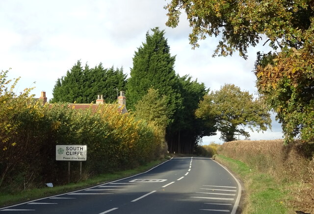
South Cliffe

Civil Parish in Yorkshire

England

South Cliffe

Crop of lawn turf The grass was just sprouting through the fine plastic net laid on the field surface to make the harvesting of the lawn turf easier.
Crop of lawn turf Credit: Lee Davidson

South Cliffe is a civil parish located in the East Riding of Yorkshire, England. Situated approximately 10 miles east of the city of York, it covers an area of around 10 square kilometers and has a population of just over 200 people. The parish is part of the larger district of East Riding of Yorkshire and falls within the Pocklington Provincial Ward.

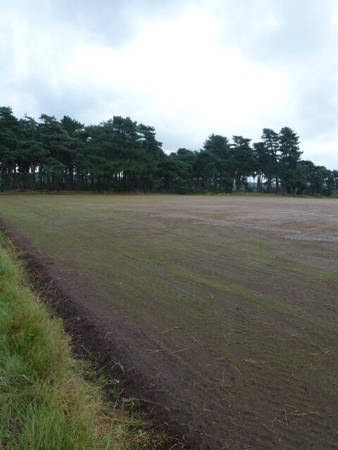
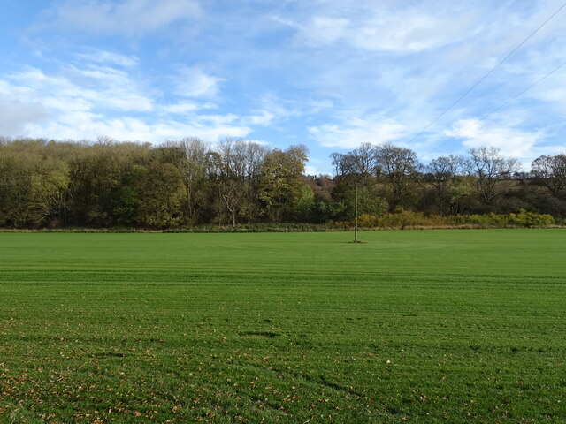
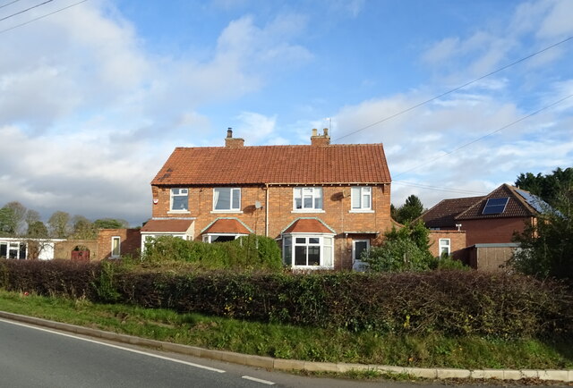
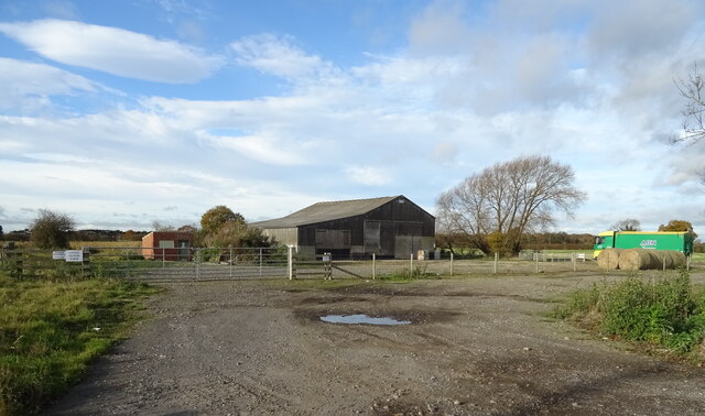
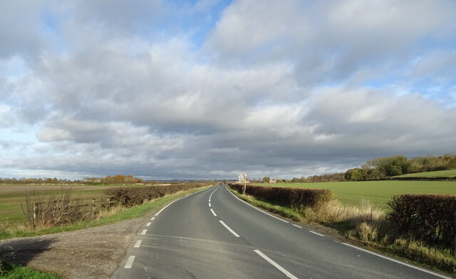
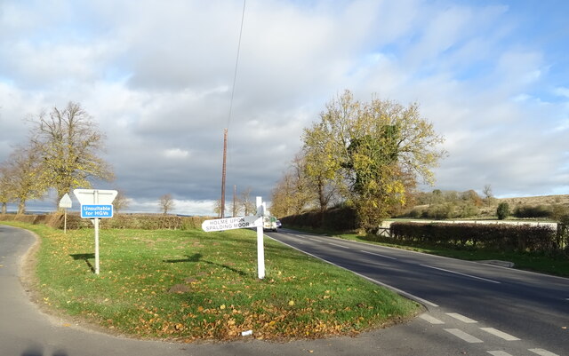
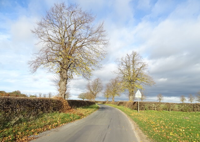
South Cliffe is a rural area characterized by its picturesque landscapes and rolling hills. The village itself consists of a small cluster of houses and farms, with the majority of the population residing in these dwellings. The parish is surrounded by agricultural land, primarily used for arable farming and livestock rearing.

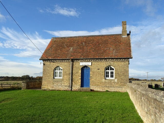
The area is known for its tranquil and peaceful atmosphere, making it an ideal location for those seeking a quiet and rural lifestyle. The parish is primarily residential, with limited amenities available within the immediate vicinity. However, the nearby town of Pocklington provides a range of services, including shops, schools, and healthcare facilities.

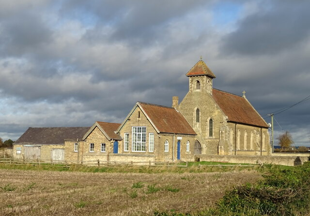
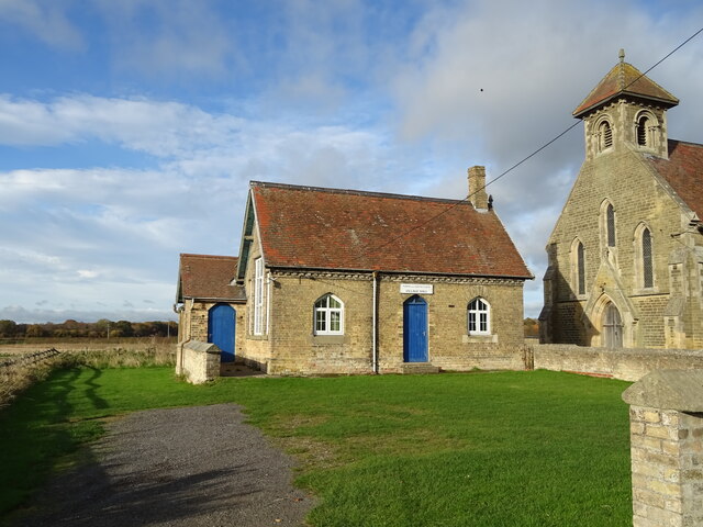
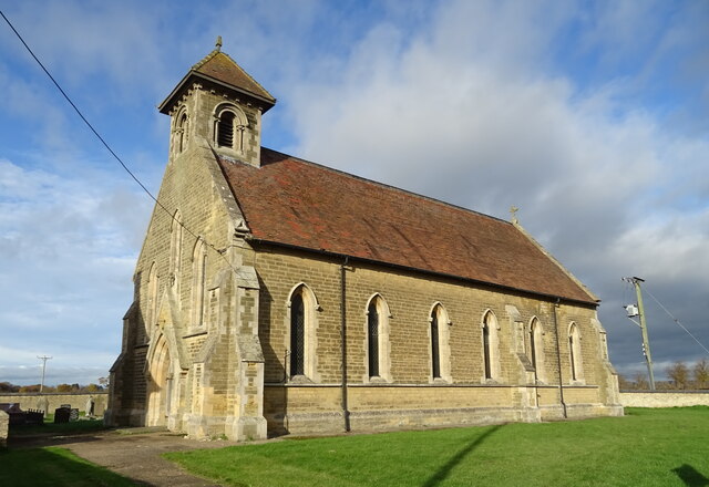
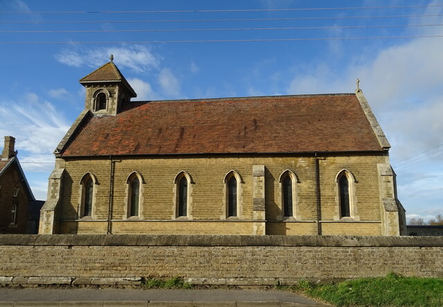
South Cliffe is also home to the All Saints Church, a historic place of worship that dates back to the 14th century. The church serves as a focal point for the community, hosting regular religious services and community events.

Overall, South Cliffe offers a charming and idyllic setting for those looking to escape the hustle and bustle of city life and immerse themselves in the beauty of the Yorkshire countryside.

If you have any feedback on the listing, please let us know in the comments section below.
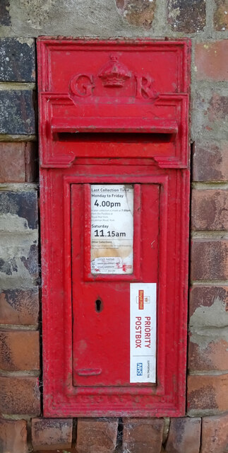
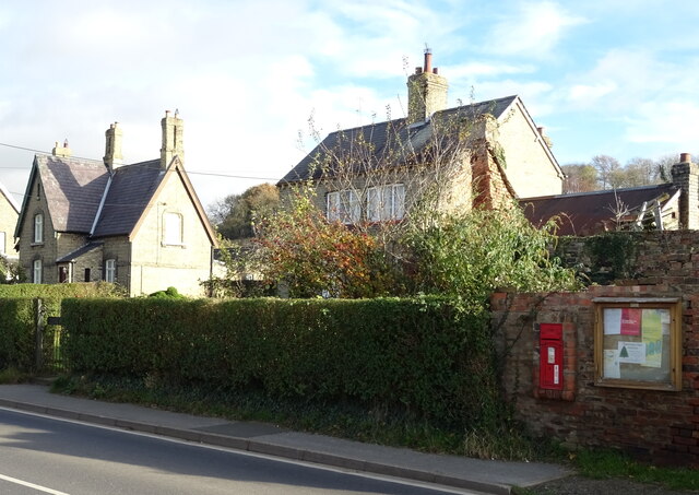
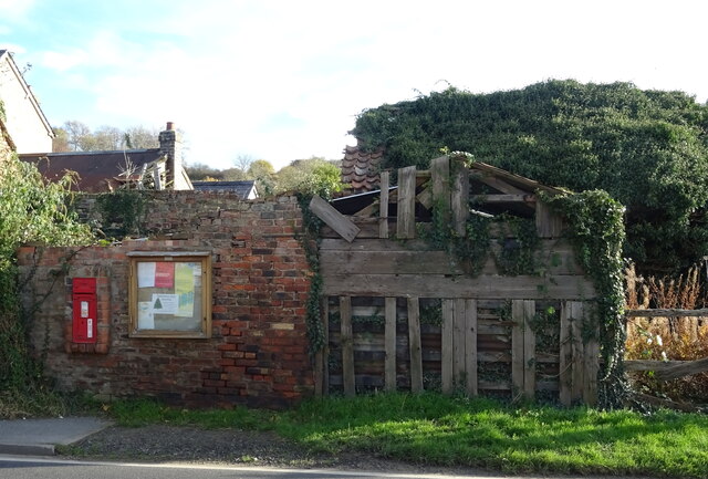
South Cliffe Images

Images are sourced within 2km of 53.816834/-0.68512 or Grid Reference SE8636. Thanks to Geograph Open Source API. All images are credited.

Crop of lawn turf The grass was just sprouting through the fine plastic net laid on the field surface to make the harvesting of the lawn turf easier.
Crop of lawn turf
The grass was just sprouting through the fine plastic net laid on the field surface to make the harvesting of the lawn turf easier.
George V postbox on Cliffe Road, North Cliffe Postbox No. YO43 390.

See <a href="https://www.geograph.org.uk/photo/7024108">SE8736 : Houses on Cliffe Road, North Cliffe</a> and <a href="https://www.geograph.org.uk/photo/7024110">SE8736 : Communications centre on Cliffe Road, North Cliffe</a> for context.
George V postbox on Cliffe Road, North Cliffe
Houses on Cliffe Road, North Cliffe Showing position of Postbox No. YO43 390.

See <a href="https://www.geograph.org.uk/photo/7024107">SE8736 : George V postbox on Cliffe Road, North Cliffe</a> for postbox.
Houses on Cliffe Road, North Cliffe
Showing position of Postbox No. YO43 390. See SE8736 : George V postbox on Cliffe Road, North Cliffe for postbox.
Communications centre on Cliffe Road, North Cliffe Showing position of Postbox No. YO43 390.

See <a href="https://www.geograph.org.uk/photo/7024107">SE8736 : George V postbox on Cliffe Road, North Cliffe</a> for postbox.
Communications centre on Cliffe Road, North Cliffe
Showing position of Postbox No. YO43 390. See SE8736 : George V postbox on Cliffe Road, North Cliffe for postbox.
Field towards the rush High quality grass, possibly to be used for turf.
Field towards the rush
High quality grass, possibly to be used for turf.
Cliffe Road Towards South Cliffe.
Cliffe Road
Towards South Cliffe.
Field near South Farm Towards The Rush.
High quality grass, possibly to be used for turf.
Field near South Farm
Towards The Rush. High quality grass, possibly to be used for turf.
Entering South Cliffe On Cliffe Road.
Entering South Cliffe
On Cliffe Road.
Houses on Cliffe Road, South Cliffe
Barn, South Cliffe
Barn, South Cliffe
Cliffe Road, South Cliffe Towards North Cliffe.
Cliffe Road, South Cliffe
Towards North Cliffe.
St. John's church and Village Hall at North Cliffe
North and South Cliffe Village Hall at North Cliffe
St. John's Church, North Cliffe
Fingerpost on Cliffe Road, North Cliffe
Sand Lane, North Cliffe  Towards East Common.
Sand Lane, North Cliffe
Towards East Common.
Show me another place!

South Cliffe is located at Grid Ref: SE8636 (Lat: 53.816834, Lng: -0.68512)

Division: East Riding

Unitary Authority: East Riding of Yorkshire

Police Authority: Humberside

What 3 Words

///divide.guideline.fleet. Near Hotham, East Yorkshire

Nearby Locations

South Cliffe

Related Wikis

South Cliffe

South Cliffe is a village and civil parish in the East Riding of Yorkshire, England. It is situated about 2.5 miles (4 km) north of North Cave, 2 miles...

North Cliffe

North Cliffe is a hamlet and former civil parish, now in the parish of South Cliffe, in the East Riding of Yorkshire, England. It is situated about 3 miles...

Haltemprice and Howden (UK Parliament constituency)

Haltemprice and Howden is a constituency in the East Riding of Yorkshire represented in the House of Commons of the UK Parliament since 1997 by David Davis...

Harthill Wapentake

Harthill was a wapentake of the historic East Riding of Yorkshire, England consisting of the central part of the county. Established in medieval times...

Have you been to South Cliffe?

Leave your review of South Cliffe below (or comments, questions and feedback).