South Cerney

Civil Parish in Gloucestershire Cotswold

England

South Cerney

Danger Keep Out! Gate off the Ermine Way to parking area next to gravel pit pools.
Danger Keep Out! Credit: Jeff Gogarty

South Cerney is a civil parish located in the county of Gloucestershire, England. It is nestled in the southern part of the Cotswold Water Park, a vast area of lakes and wetlands known for its natural beauty and recreational activities.

The village of South Cerney is situated on the banks of the River Churn, which flows through its center. It is approximately 4 miles south of the town of Cirencester and about 85 miles west of London. The parish covers an area of around 5 square miles.

South Cerney has a long history, with evidence of human settlement dating back to the Roman period. The village was mentioned in the Domesday Book of 1086, highlighting its significance even in medieval times.

Today, South Cerney is a thriving community with a population of around 3,000 residents. It offers a range of amenities and services, including a primary school, a post office, a village hall, and several shops and restaurants. The village is also home to a number of sports and leisure facilities, such as a cricket pitch, a football field, and a sailing club.

The surrounding area is known for its natural attractions, attracting visitors who enjoy outdoor activities like boating, fishing, and birdwatching. The Cotswold Water Park, with its numerous lakes and nature reserves, provides ample opportunities for exploration and relaxation.

In summary, South Cerney is a picturesque village in Gloucestershire, set amidst the stunning landscape of the Cotswold Water Park. With its rich history, vibrant community, and abundant recreational opportunities, it is a desirable place to live and visit.

If you have any feedback on the listing, please let us know in the comments section below.
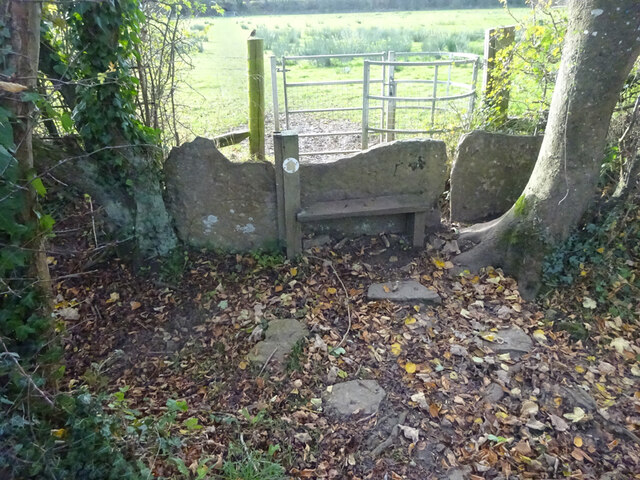
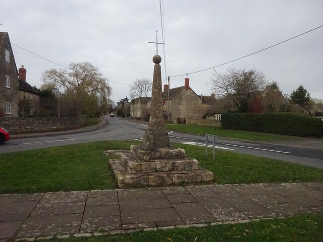
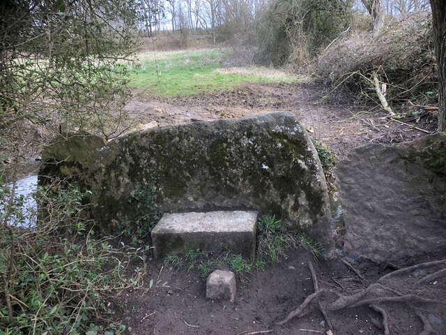
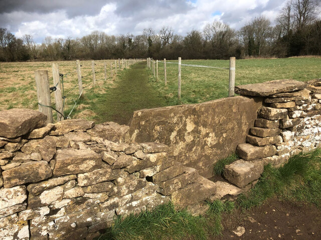
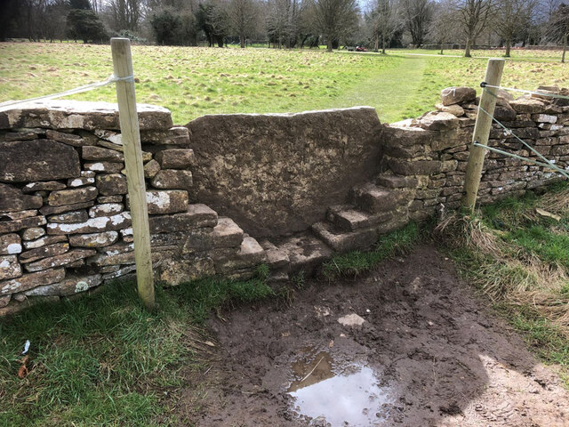
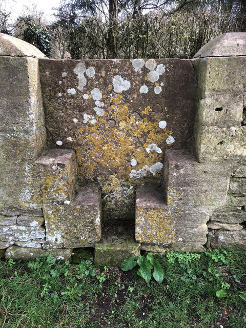
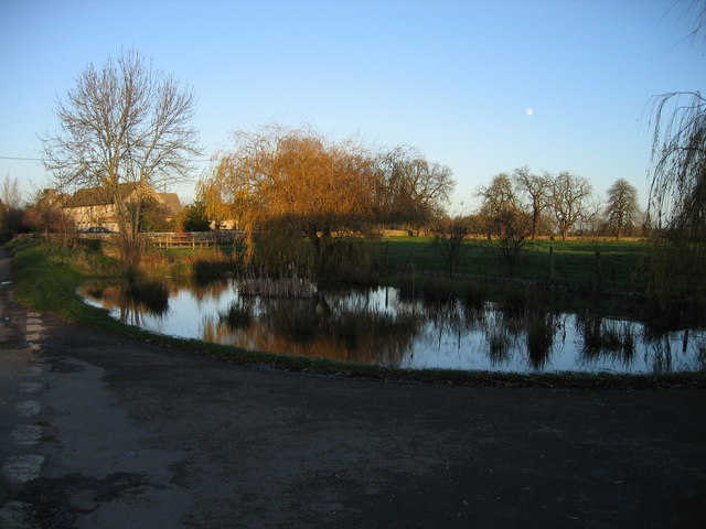
South Cerney Images

Images are sourced within 2km of 51.672424/-1.915761 or Grid Reference SU0597. Thanks to Geograph Open Source API. All images are credited.

Danger Keep Out! Gate off the Ermine Way to parking area next to gravel pit pools.
Danger Keep Out!
Gate off the Ermine Way to parking area next to gravel pit pools.
The Ermine Way towards Latton
Canal Milestone Thames and Severn Canal, on the towpath of the Cerney Wick Pound (canal between locks). Replica plate in the style of the originals. Cut Benchmark represented 278.1 ft ASL (in 1900).

Inscription Walbridge / 19 / Inglesham 9¾

Milestone Society ID: TSC-19
Canal Milestone
Thames and Severn Canal, on the towpath of the Cerney Wick Pound (canal between locks). Replica plate in the style of the originals. Cut Benchmark represented 278.1 ft ASL (in 1900). Inscription Walbridge / 19 / Inglesham 9¾ Milestone Society ID: TSC-19
Stone stile, to South Cerney On the boundary of a field & the exceptionally wide patch of the Thames & Severn canal towpath. View is into the field. The view towards the towpath is <a href="https://www.geograph.org.uk/photo/7232718">SU0597 : Stone stile, to South Cerney</a>.
Stone stile, to South Cerney
On the boundary of a field & the exceptionally wide patch of the Thames & Severn canal towpath. View is into the field. The view towards the towpath is SU0597 : Stone stile, to South Cerney.
Thames & Severn canal Milestone Modern plate placed there by volunteers of the Cotswold Canals Trust ( <span class="nowrap"><a title="https://cotswoldcanals.org/" rel="nofollow ugc noopener" href="https://cotswoldcanals.org/">Link</a><img style="margin-left:2px;" alt="External link" title="External link - shift click to open in new window" src="https://s1.geograph.org.uk/img/external.png" width="10" height="10"/></span> ). The plate is a respectful clone of the style of the original plates used on this canal. The modern bridge on the "Spine Road" is 200m to the left and can clearly be seen on an alternative view - <a href="https://www.geograph.org.uk/photo/6539254">SU0797 : Thames & Severn Path near South Cerney</a>. An earlier image shows the stone before it was pieced together, and set upright see <a href="https://www.geograph.org.uk/photo/1082683">SU0797 : Thames & Severn Canal milepost near Spine Road Bridge</a>

Inscription: Walbridge / 18½ / Inglesham / 10¼

Milestone Society National ID: TSC-18½
Thames & Severn canal Milestone
Modern plate placed there by volunteers of the Cotswold Canals Trust ( LinkExternal link ). The plate is a respectful clone of the style of the original plates used on this canal. The modern bridge on the "Spine Road" is 200m to the left and can clearly be seen on an alternative view - SU0797 : Thames & Severn Path near South Cerney. An earlier image shows the stone before it was pieced together, and set upright see SU0797 : Thames & Severn Canal milepost near Spine Road Bridge Inscription: Walbridge / 18½ / Inglesham / 10¼ Milestone Society National ID: TSC-18½
Milestone remnant Thames & Severn canal This stone has the same cross section as stones at <a title="https://www.geograph.org.uk/photo/7031573" href="https://www.geograph.org.uk/photo/7031573">Link</a> & <a title="https://www.geograph.org.uk/photo/6995454" href="https://www.geograph.org.uk/photo/6995454">Link</a> and is 1 mile from the former, to within 0.01 miles. Between what was Crane Bridge and the extant Little Lock. The towpath has been used as access to a large house, and the stone sits on the South side of the road almost in the ditch.

Inscription (would have been): WALBRIDGE / 17½ / INGLESHAM / 11¼


Milestone Society National ID: TSC-17½
Milestone remnant Thames & Severn canal
This stone has the same cross section as stones at Link & Link and is 1 mile from the former, to within 0.01 miles. Between what was Crane Bridge and the extant Little Lock. The towpath has been used as access to a large house, and the stone sits on the South side of the road almost in the ditch. Inscription (would have been): WALBRIDGE / 17½ / INGLESHAM / 11¼ Milestone Society National ID: TSC-17½
Wayside Cross, South Cerney South Cerney Cross, old shaft, base & steps in a new cross. Benchmark at the base representing 90.2 m ASL.

Grade II listed monument see <span class="nowrap"><a title="https://historicengland.org.uk/listing/the-list/list-entry/1154162" rel="nofollow ugc noopener" href="https://historicengland.org.uk/listing/the-list/list-entry/1154162">Link</a><img style="margin-left:2px;" alt="External link" title="External link - shift click to open in new window" src="https://s1.geograph.org.uk/img/external.png" width="10" height="10"/></span>

Milestone Society National ID: GLCO_SOU01
Wayside Cross, South Cerney
South Cerney Cross, old shaft, base & steps in a new cross. Benchmark at the base representing 90.2 m ASL. Grade II listed monument see LinkExternal link Milestone Society National ID: GLCO_SOU01
Lake at the Cotswold Water Park The Cotswold Water Park covers around 40 square miles on the borders of Gloucestershire and Wiltshire.  The park is made up of artificial lakes which have been developed in former gravel pits, to cater for leisure activities.

The Water Park has two parts, the larger around the villages of South Cerney and Ashton Keynes, while the other is further east around Fairford and Lechlade.
Lake at the Cotswold Water Park
The Cotswold Water Park covers around 40 square miles on the borders of Gloucestershire and Wiltshire. The park is made up of artificial lakes which have been developed in former gravel pits, to cater for leisure activities. The Water Park has two parts, the larger around the villages of South Cerney and Ashton Keynes, while the other is further east around Fairford and Lechlade.
Stone stile, to South Cerney On the boundary of a field & the exceptionally wide patch of the Thames & Severn canal towpath. View is SE to the towpath. The view from the towpath is <a href="https://www.geograph.org.uk/photo/7030887">SU0597 : Stone stile, to South Cerney</a>.
Stone stile, to South Cerney
On the boundary of a field & the exceptionally wide patch of the Thames & Severn canal towpath. View is SE to the towpath. The view from the towpath is SU0597 : Stone stile, to South Cerney.
Stone stile, to South Cerney On Gloucestershire footpath BSC15 leading to the village from the Thames & Severn Canal. This is looking over the stile at the causeway. The full view of the stile is <a href="https://www.geograph.org.uk/photo/7232718">SU0597 : Stone stile, to South Cerney</a>.
Stone stile, to South Cerney
On Gloucestershire footpath BSC15 leading to the village from the Thames & Severn Canal. This is looking over the stile at the causeway. The full view of the stile is SU0597 : Stone stile, to South Cerney.
Stone stile, to South Cerney On Gloucestershire footpath BSC15 leading to the village from the Thames & Severn Canal. The view looking over the stile at a causeway is <a href="https://www.geograph.org.uk/photo/7232724">SU0597 : Stone stile, to South Cerney</a>.
Stone stile, to South Cerney
On Gloucestershire footpath BSC15 leading to the village from the Thames & Severn Canal. The view looking over the stile at a causeway is SU0597 : Stone stile, to South Cerney.
Stone stile, to South Cerney On Gloucestershire footpath BSC15 from canal to South Cerney looking North to the disused railway and canal. The view looking South to the church is <a href="https://www.geograph.org.uk/photo/7232766">SU0597 : Stone stile, to South Cerney</a>.
Stone stile, to South Cerney
On Gloucestershire footpath BSC15 from canal to South Cerney looking North to the disused railway and canal. The view looking South to the church is SU0597 : Stone stile, to South Cerney.
Stone stile, to South Cerney On Gloucestershire footpath BSC15 from canal to South Cerney looking South to the church. The view looking North to the disused railway and canal is <a href="https://www.geograph.org.uk/photo/7232757">SU0597 : Stone stile, to South Cerney</a>.
Stone stile, to South Cerney
On Gloucestershire footpath BSC15 from canal to South Cerney looking South to the church. The view looking North to the disused railway and canal is SU0597 : Stone stile, to South Cerney.
Stone stile, to South Cerney On Gloucestershire footpath BSC15 the stile which indicates the registered footpath. This view looks NE from the graveyard. The view to the graveyard is <a href="https://www.geograph.org.uk/photo/7232945">SU0597 : Stone stile, to South Cerney</a>.
Stone stile, to South Cerney
On Gloucestershire footpath BSC15 the stile which indicates the registered footpath. This view looks NE from the graveyard. The view to the graveyard is SU0597 : Stone stile, to South Cerney.
Stone stile, to South Cerney On Gloucestershire footpath BSC15 the stile which indicates the registered footpath. This view looks SW to the graveyard. The alternative view back is <a href="https://www.geograph.org.uk/photo/7232944">SU0597 : Stone stile, to South Cerney</a>
Stone stile, to South Cerney
On Gloucestershire footpath BSC15 the stile which indicates the registered footpath. This view looks SW to the graveyard. The alternative view back is SU0597 : Stone stile, to South Cerney
Stone stile, to South Cerney On Gloucestershire footpath BSC15 adjacent to the churchyard wall.
Stone stile, to South Cerney
On Gloucestershire footpath BSC15 adjacent to the churchyard wall.
Military vehicles on display at the Gloucestershire Vintage & Country Extravaganza event The usually annual event at South Cerney airfield returned in 2022 after a break during the COVID-19 pandemic.
Military vehicles on display at the Gloucestershire Vintage & Country Extravaganza event
The usually annual event at South Cerney airfield returned in 2022 after a break during the COVID-19 pandemic.
Scammell tank transporter at the Gloucestershire Vintage & Country Extravaganza event
Show me another place!

South Cerney is located at Grid Ref: SU0597 (Lat: 51.672424, Lng: -1.915761)

Administrative County: Gloucestershire

District: Cotswold

Police Authority: Gloucestershire

What 3 Words

///candles.outline.technical. Near South Cerney, Gloucestershire

Related Wikis

South Cerney railway station

South Cerney railway station was on the Midland and South Western Junction Railway in Gloucestershire. The station opened on 18 December 1883 on the Swindon...

Wildmoorway Meadows

Wildmoorway Meadows (grid reference SU066973) is a 12.6-hectare (31-acre) biological Site of Special Scientific Interest in Gloucestershire, to the east...

Church of All Hallows, South Cerney

The Church of All Hallows is an Anglican parish church in the village of South Cerney, Gloucestershire. The church is of Norman origins, with medieval...

South Cerney

South Cerney is a village and civil parish in the Cotswold district of Gloucestershire, 3 miles south of Cirencester and close to the border with Wiltshire...

South Cerney Castle

South Cerney Castle was an adulterine castle of Motte and bailey construction built in South Cerney, Gloucestershire in the mid-12th century. Today only...

RAF South Cerney

Royal Air Force South Cerney or more simply RAF South Cerney is a former Royal Air Force station located in South Cerney near Cirencester in Gloucestershire...

Duke of Gloucester Barracks

The Duke of Gloucester Barracks is a British Army barracks at South Cerney in Gloucestershire. == History == The barracks were established on the site...

Driffield, Gloucestershire

Driffield is a village and civil parish in the Cotswold district of Gloucestershire, England. It is situated 3+1⁄2 miles (5.6 km) east-south-east of Cirencester...

Nearby Amenities

Located within 500m of 51.672424,-1.915761
Bus Stop
Kingfisher Place
Bus: yes
Naptan AtcoCode: 1600GLC213
Naptan Bearing: E
Naptan CommonName: Kingfisher Place
Naptan Indicator: Opp
Naptan NaptanCode: glogatgd
Naptan Street: Station Rd
Naptan Verified: no
Public Transport: platform
Source: naptan_import
Lat/Long: 51.6727137/-1.9212294
Bus Stop
Kingfisher Place
Bus: yes
Naptan AtcoCode: 1600GLC214
Naptan Bearing: W
Naptan CommonName: Kingfisher Place
Naptan NaptanCode: glogatga
Naptan Street: Station Rd
Naptan Verified: no
Public Transport: platform
Source: naptan_import
Lat/Long: 51.6726238/-1.921244
South Cerney
Historic Railway: station
Railway: site
Lat/Long: 51.6730648/-1.9187003
Crossing
Lat/Long: 51.672741/-1.9188735
Generator Method: photovoltaic
Generator Output Electricity: yes
Generator Source: solar
Generator Type: solar_photovoltaic_panel
Location: roof
Power: generator
Lat/Long: 51.6739855/-1.9201331
Generator Method: photovoltaic
Generator Output Electricity: yes
Generator Source: solar
Generator Type: solar_photovoltaic_panel
Location: roof
Power: generator
Lat/Long: 51.6739872/-1.9203235
Generator Method: photovoltaic
Generator Output Electricity: yes
Generator Source: solar
Generator Type: solar_photovoltaic_panel
Location: roof
Power: generator
Lat/Long: 51.6733551/-1.9212086
Generator Method: photovoltaic
Generator Output Electricity: yes
Generator Source: solar
Generator Type: solar_photovoltaic_panel
Location: roof
Power: generator
Lat/Long: 51.673252/-1.9218819
The data included in this document is from www.openstreetmap.org. The data is made available under ODbL.

Have you been to South Cerney?

Leave your review of South Cerney below (or comments, questions and feedback).