South Cave
Civil Parish in Yorkshire
England
South Cave

The requested URL returned error: 429 Too Many Requests
If you have any feedback on the listing, please let us know in the comments section below.
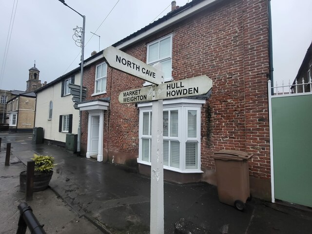
South Cave Images
Images are sourced within 2km of 53.769078/-0.606545 or Grid Reference SE9131. Thanks to Geograph Open Source API. All images are credited.


South Cave is located at Grid Ref: SE9131 (Lat: 53.769078, Lng: -0.606545)
Division: East Riding
Unitary Authority: East Riding of Yorkshire
Police Authority: Humberside
What 3 Words
///hopes.tastes.bricks. Near South Cave, East Yorkshire
Nearby Locations
Related Wikis
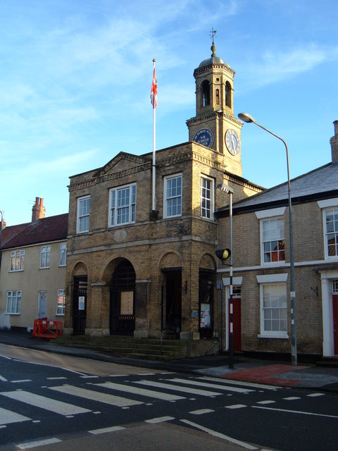
South Cave Town Hall
South Cave Town Hall is a municipal building in the Market Place, South Cave, East Riding of Yorkshire, England. The building, which is the meeting place...

South Cave
South Cave is a village and civil parish in the East Riding of Yorkshire, England. It is situated approximately 14 miles (23 km) to the west of Hull city...

Everthorpe
Everthorpe is a hamlet in the East Riding of Yorkshire, England. It is situated approximately 11 miles (18 km) west of Hull city centre and 10 miles...

South Cave railway station
South Cave railway station was a station on the Hull and Barnsley Railway, and served the village of South Cave in the East Riding of Yorkshire, England...
Nearby Amenities
Located within 500m of 53.769078,-0.606545Have you been to South Cave?
Leave your review of South Cave below (or comments, questions and feedback).