Skilgate
Civil Parish in Somerset Somerset West and Taunton
England
Skilgate
Skilgate is a civil parish located in the county of Somerset, England. It is situated within the district of West Somerset, approximately 7 miles west of the town of Wiveliscombe. Covering an area of around 4.5 square kilometers, Skilgate is a small and rural parish with a population of just over 100 residents.
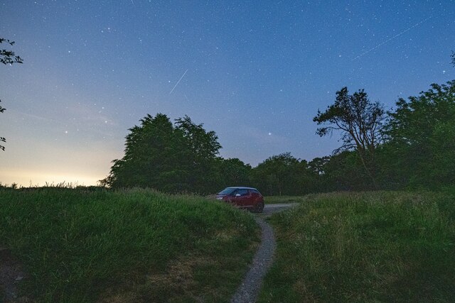
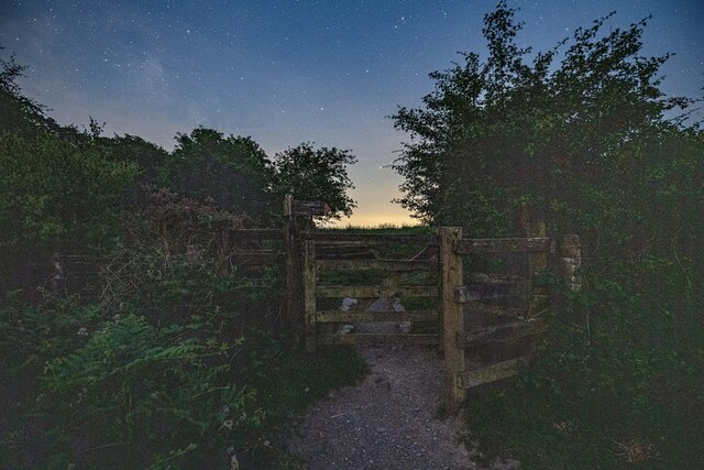
The village of Skilgate itself is nestled within the picturesque Brendon Hills and is surrounded by lush green fields and rolling countryside. The area is known for its natural beauty and offers stunning views of the nearby Exmoor National Park. The village is predominantly residential, with a mix of traditional stone cottages and more modern houses.
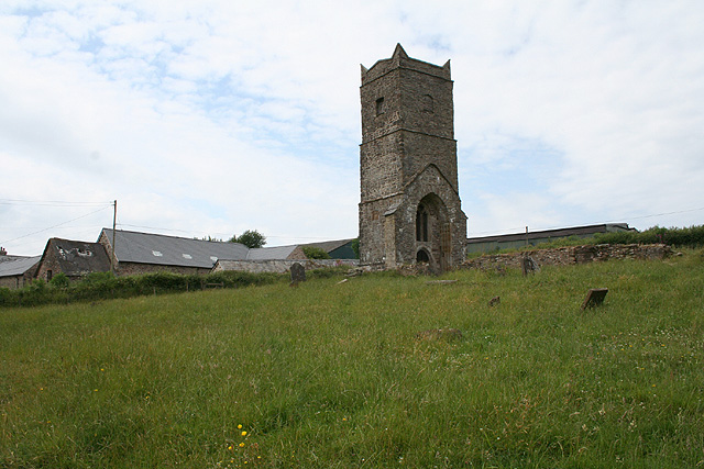
Skilgate is home to the St. John the Baptist Church, a historic building that dates back to the 13th century. The church is a focal point for the community and holds regular services and events throughout the year.
The parish is also well-connected, with several major roads passing through or near the area, including the A396 and the A39. This makes it easily accessible for both residents and visitors alike.
The economy of Skilgate is primarily based on agriculture, with farming being the main industry in the area. The surrounding countryside provides fertile land for livestock and crop farming.
Overall, Skilgate is a charming and peaceful civil parish, offering a rural lifestyle and a close-knit community in the heart of the Somerset countryside.
If you have any feedback on the listing, please let us know in the comments section below.
Skilgate Images
Images are sourced within 2km of 51.038024/-3.479204 or Grid Reference SS9627. Thanks to Geograph Open Source API. All images are credited.


Skilgate is located at Grid Ref: SS9627 (Lat: 51.038024, Lng: -3.479204)
Administrative County: Somerset
District: Somerset West and Taunton
Police Authority: Avon and Somerset
What 3 Words
///dupe.flops.compose. Near Dulverton, Somerset
Nearby Locations
Related Wikis

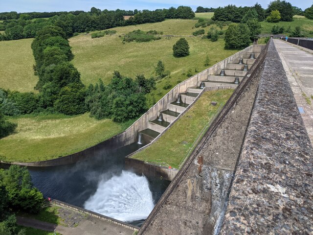
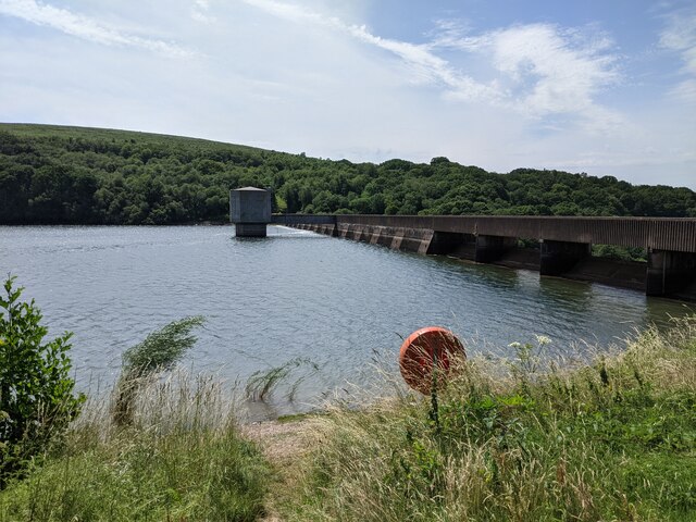
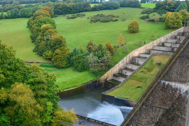
Haddon Hill
Haddon Hill is a prominent east–west aligned ridge in west Somerset, England, close to Hartford within the civil parish of Brompton Regis. It lies on the...

Bury Bridge
Bury Bridge at Bury in the parish of Brompton Regis within the English county of Somerset is a medieval packhorse bridge. It has been scheduled as an ancient...

Skilgate
Skilgate is a village and civil parish 5 miles (8 km) east of Dulverton and 8 miles (13 km) west of Wiveliscombe in the Somerset West and Taunton district...
Church of St John, Skilgate
The Anglican Church of St John in Skilgate, Somerset, England was built in the 14th century. It is a Grade II* listed building. == History == The church...
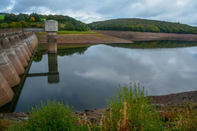
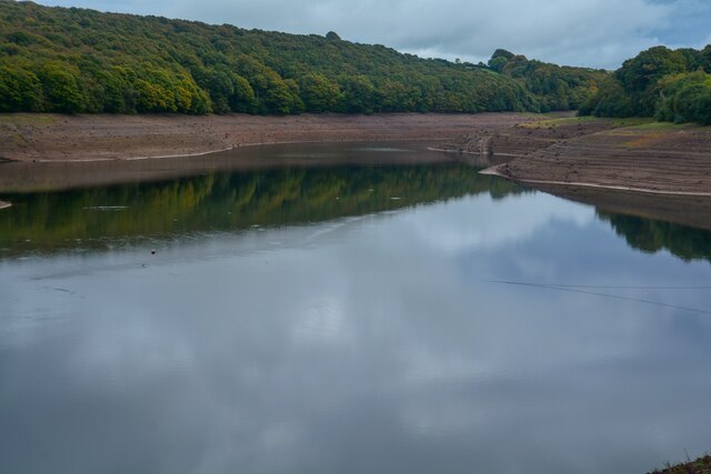
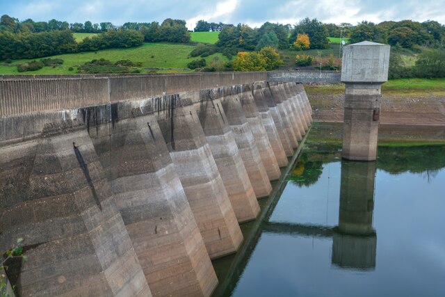
Old Church of St James, Upton
The Old St James's Church is a former church in the village of Upton, Somerset, England, of which only the tower remains, overlooking Wimbleball Lake....

Bury Castle, Brompton Regis
Bury Castle near Brompton Regis in the English county of Somerset was an Iron Age univallate hillfort which was reused with the creation of a motte after...

St George's Church, Morebath
St George's Church, Morebath is a Grade II* listed parish church in the Church of England Diocese of Exeter in Morebath, Devon. It is part of the Hukeley...

Morebath
Morebath is an upland village in the county of Devon, England. It is mostly given over to sheep-farming, and situated on the southern edge of Exmoor. An...
Nearby Amenities
Located within 500m of 51.038024,-3.479204Have you been to Skilgate?
Leave your review of Skilgate below (or comments, questions and feedback).