Shrivenham

Civil Parish in Berkshire Vale of White Horse

England

Shrivenham

Bridge over the disused Wilts & Berks canal, Station road At the site of Shrivenham Wharf. <span class="nowrap"><a title="https://www.wbct.org.uk" rel="nofollow ugc noopener" href="https://www.wbct.org.uk">Link</a><img style="margin-left:2px;" alt="External link" title="External link - shift click to open in new window" src="https://s1.geograph.org.uk/img/external.png" width="10" height="10"/></span> <span class="nowrap"><a title="https://en.wikipedia.org/wiki/Wilts_%26_Berks_Canal" rel="nofollow ugc noopener" href="https://en.wikipedia.org/wiki/Wilts_%26_Berks_Canal">Link</a><img style="margin-left:2px;" alt="External link" title="External link - shift click to open in new window" src="https://s1.geograph.org.uk/img/external.png" width="10" height="10"/></span>
Bridge over the disused Wilts & Berks canal, Station road Credit: Vieve Forward

Shrivenham is a civil parish located in the county of Berkshire, England. Situated approximately 7 miles southwest of the town of Faringdon, Shrivenham covers an area of about 6.5 square miles. The parish is nestled in a rural setting and is surrounded by picturesque countryside, offering residents and visitors a tranquil and idyllic environment.

The village of Shrivenham itself is small and has a population of around 2,500 people. It is known for its historic charm, with many of its buildings dating back to the 17th and 18th centuries. The parish church, St. Andrew's, is a notable landmark and a focal point for the community.

Shrivenham is also home to the Defence Academy of the United Kingdom, which is the country's leading military training and educational institution. This prestigious establishment attracts personnel from various branches of the armed forces, both national and international, as well as civilian staff. The presence of the Defence Academy has greatly influenced the character of the village, creating a diverse and vibrant community.

Despite its relatively small size, Shrivenham offers a range of amenities and services to its residents. These include a primary school, a post office, several shops, pubs, and restaurants. Additionally, the village hosts various events throughout the year, such as the popular Shrivenham Carnival, which brings together locals and visitors for a day of festivities.

Overall, Shrivenham is a charming and historic civil parish, offering a mix of rural tranquility and a thriving military community. Its picturesque setting, combined with its amenities and events, make it a desirable place to live and visit in Berkshire.

If you have any feedback on the listing, please let us know in the comments section below.
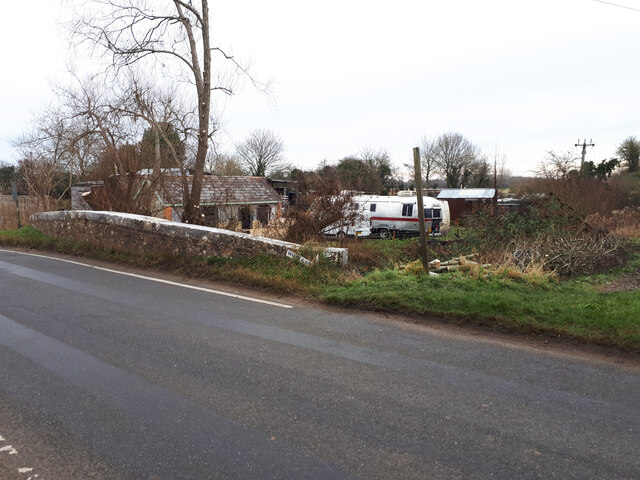
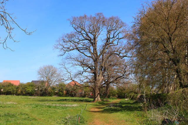
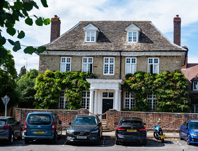
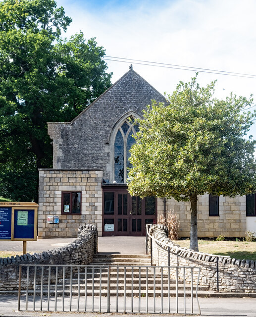
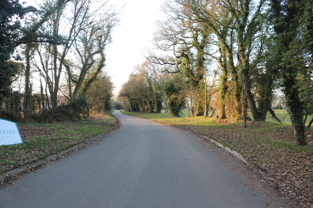
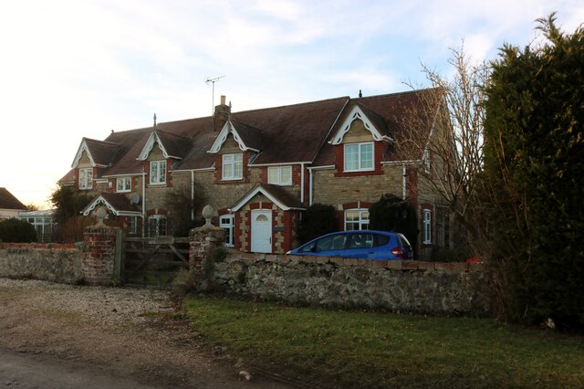
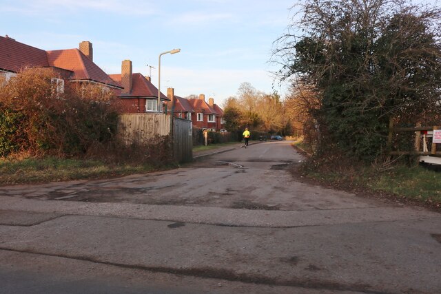
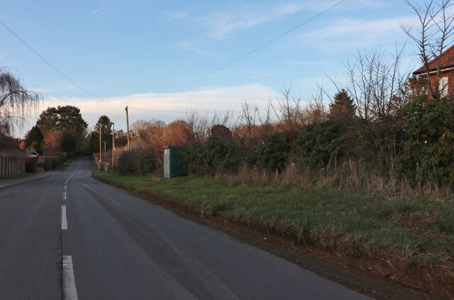
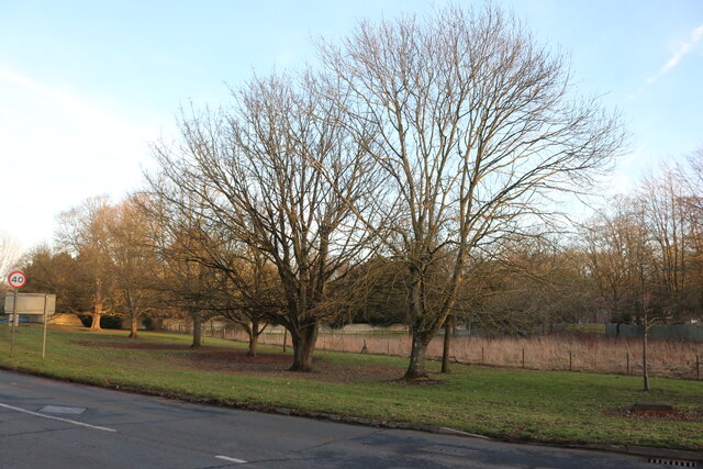
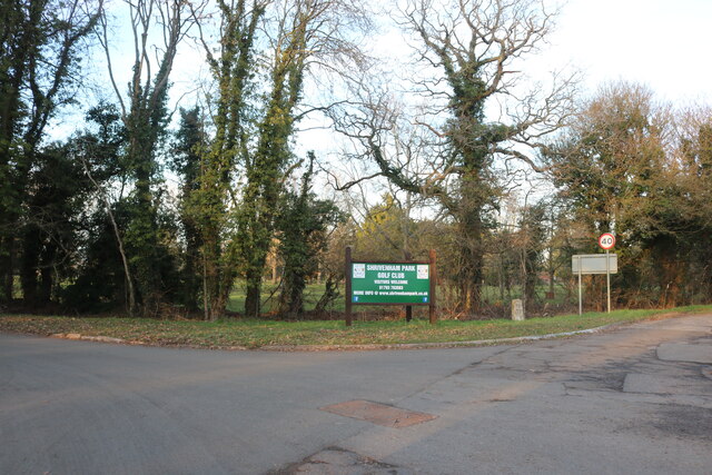
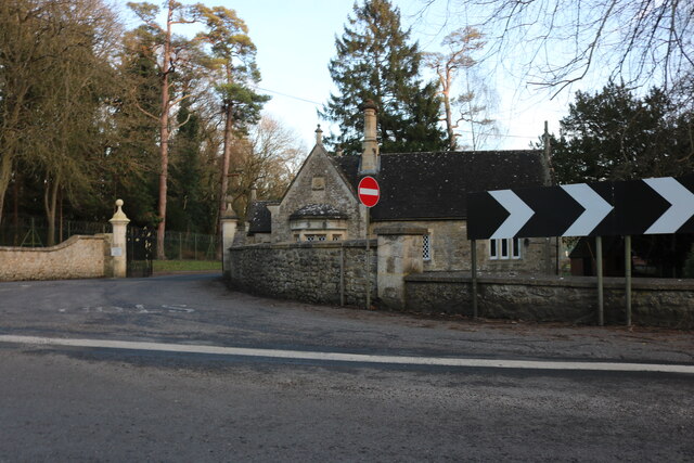
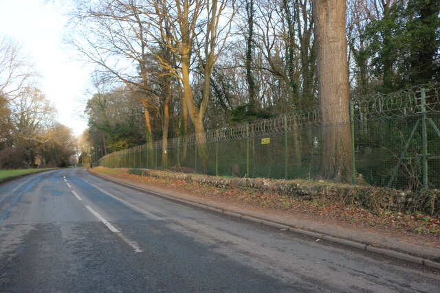
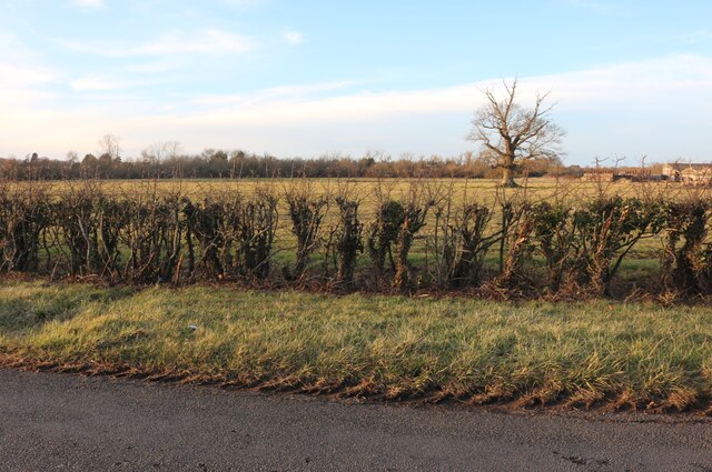
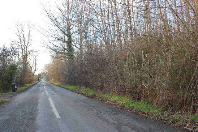
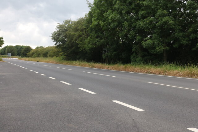
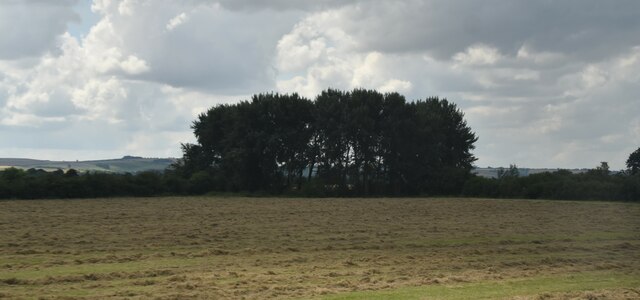
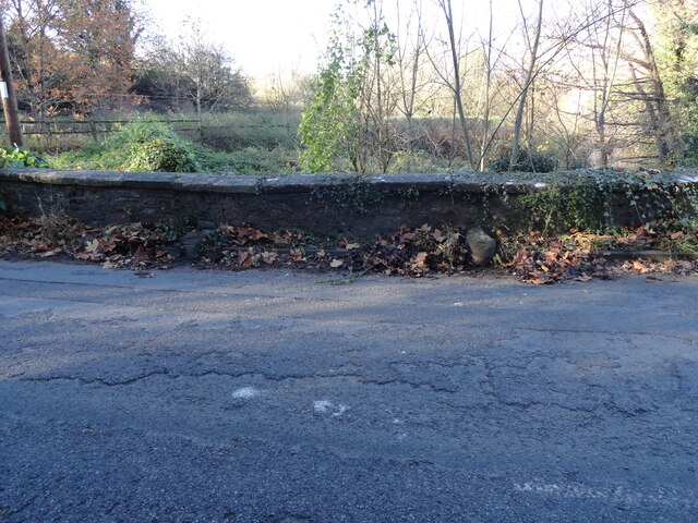
Shrivenham Images

Images are sourced within 2km of 51.59987/-1.651044 or Grid Reference SU2489. Thanks to Geograph Open Source API. All images are credited.

Bridge over the disused Wilts & Berks canal, Station road At the site of Shrivenham Wharf. <span class="nowrap"><a title="https://www.wbct.org.uk" rel="nofollow ugc noopener" href="https://www.wbct.org.uk">Link</a><img style="margin-left:2px;" alt="External link" title="External link - shift click to open in new window" src="https://s1.geograph.org.uk/img/external.png" width="10" height="10"/></span> <span class="nowrap"><a title="https://en.wikipedia.org/wiki/Wilts_%26_Berks_Canal" rel="nofollow ugc noopener" href="https://en.wikipedia.org/wiki/Wilts_%26_Berks_Canal">Link</a><img style="margin-left:2px;" alt="External link" title="External link - shift click to open in new window" src="https://s1.geograph.org.uk/img/external.png" width="10" height="10"/></span>
Bridge over the disused Wilts & Berks canal, Station road
At the site of Shrivenham Wharf. LinkExternal link LinkExternal link
Footpath near Shrivenham Footpath near Shrivenham.
Footpath near Shrivenham
Footpath near Shrivenham.
Shrivenham : Elm Tree House Grade II* listed house - <span class="nowrap"><a title="https://historicengland.org.uk/listing/the-list/list-entry/1183075?section=official-list-entry" rel="nofollow ugc noopener" href="https://historicengland.org.uk/listing/the-list/list-entry/1183075?section=official-list-entry">Link</a><img style="margin-left:2px;" alt="External link" title="External link - shift click to open in new window" src="https://s1.geograph.org.uk/img/external.png" width="10" height="10"/></span>
Shrivenham : Elm Tree House
Grade II* listed house - LinkExternal link
Shrivenham : Methodist Church
Shrivenham : window of thatched cottage
Pennyhooks Lane, Shrivenham Leading to the golf club.
Pennyhooks Lane, Shrivenham
Leading to the golf club.
Cottages on Longcot Road near Watchfield
Park Avenue, Shrivenham
Longcot Road, Shrivenham
Faringdon Road, Shrivenham
The entrance to Shrivenham Park Golf Club
Lodge at the entrance to Cranfield University, Shrivenham Here is the entrance to their original site. <a title="https://www.geograph.org.uk/photo/7309040" href="https://www.geograph.org.uk/photo/7309040">Link</a>
Lodge at the entrance to Cranfield University, Shrivenham
Here is the entrance to their original site. Link
Northford Hill, Shrivenham Cranfield University is behind the trees on the right.
Northford Hill, Shrivenham
Cranfield University is behind the trees on the right.
Field by Longcot Road, Shrivenham You can just see Home Farm on the right attached to the field.
Field by Longcot Road, Shrivenham
You can just see Home Farm on the right attached to the field.
Longcot Road, Shrivenham
The A420, Shrivenham
Near Chaplewick Farm
Old Boundary Markers on Northford Bridge Two Parish Boundary Markers a few metres apart at the foot of the parapet of Northford Bridge, Tuckmill Brook, on the southeast side of the former A420 Faringdon Road / Northford Hill. These could just be wheel guards as there are no inscriptions and nothing is shown on old Ordnance Survey maps but the stones are set either side of the boundary between Shrivenham and Watchfield parishes.

Milestone Society National ID: BE_SHRWAT01pb
Old Boundary Markers on Northford Bridge
Two Parish Boundary Markers a few metres apart at the foot of the parapet of Northford Bridge, Tuckmill Brook, on the southeast side of the former A420 Faringdon Road / Northford Hill. These could just be wheel guards as there are no inscriptions and nothing is shown on old Ordnance Survey maps but the stones are set either side of the boundary between Shrivenham and Watchfield parishes. Milestone Society National ID: BE_SHRWAT01pb
Show me another place!

Shrivenham is located at Grid Ref: SU2489 (Lat: 51.59987, Lng: -1.651044)

Administrative County: Oxfordshire

District: Vale of White Horse

Police Authority: Thames Valley

What 3 Words

///sisters.dressings.loosens. Near Shrivenham, Oxfordshire

Related Wikis

Royal Army Chaplains' Museum

The Royal Army Chaplains' Museum (formerly the Museum of Army Chaplaincy) tells the story of British Army chaplaincy from earliest times to the present...

Beckett Hall

Beckett Hall (or Beckett House) is a country house at Shrivenham in the English county of Oxfordshire (formerly in Berkshire). The present house dates...

Shrivenham F.C.

Shrivenham F.C. is a football club based in Shrivenham, an Oxfordshire village, near Swindon, England. They play in the Wiltshire League Premier Division...

Shrivenham

Shrivenham is a village and civil parish in the Vale of White Horse, Oxfordshire, England, about 5 miles (8 km) south-west of Faringdon. The village is...

Defence Academy of the United Kingdom

The Defence Academy of the United Kingdom provides higher education for personnel in the British Armed Forces, Civil Service, other government departments...

Royal Military College of Science

The Royal Military College of Science (RMCS) was a British postgraduate school, research institution and training provider with origins dating back to...

Joint Services Command and Staff College

Joint Services Command and Staff College (JSCSC) is a British military academic establishment providing training and education to experienced officers...

Advanced Research and Assessment Group

The Advanced Research and Assessment Group (ARAG) was a department of the Defence Academy of the United Kingdom concerned with long-term planning and threat...

Nearby Amenities

Located within 500m of 51.59987,-1.651044
Mini Roundabout
Direction: clockwise
Lat/Long: 51.5995654/-1.6513651
Bus Stop
Military College of Science
Naptan AtcoCode: 340001030BEC
Naptan Bearing: W
Naptan CommonName: Military College of Science
Naptan Indicator: Northford Close Opposite
Naptan Landmark: Military College of Science
Naptan NaptanCode: oxfagdad
Naptan Street: Farringdon Road
Naptan Verified: no
Shelter: no
Source: naptan_import
Lat/Long: 51.6039045/-1.6481831
Bus Stop
Military College of Science
Naptan AtcoCode: 340001030NOR
Naptan Bearing: E
Naptan BusStopType: CUS
Naptan CommonName: Military College of Science
Naptan Indicator: Northford Close Corner
Naptan Landmark: Military College of Science
Naptan NaptanCode: oxfagawt
Naptan Street: Farringdon Road
Naptan Verified: no
Source: naptan_import
Lat/Long: 51.6039944/-1.6481824
Bus Stop
High Street
Naptan AtcoCode: 340001041OPP
Naptan Bearing: SW
Naptan CommonName: High Street
Naptan Indicator: Opposite Surgery
Naptan Landmark: Surgery
Naptan NaptanCode: oxfagdta
Naptan Street: High Street
Naptan Verified: no
Source: naptan_import
Lat/Long: 51.5988853/-1.6535783
Bus Stop
High Street
Naptan AtcoCode: 340001041OUT
Naptan Bearing: NE
Naptan CommonName: High Street
Naptan Indicator: Outside Surgery
Naptan Landmark: Surgery
Naptan NaptanCode: oxfagdpw
Naptan Street: High Street
Naptan Verified: no
Shelter: yes
Source: naptan_import
Tactile Paving: no
Lat/Long: 51.5989888/-1.6538662
Turning Circle
Lat/Long: 51.5991922/-1.6509277
Doctors
Elm Tree Surgery
Addr Housename: Elm Tree House
Lat/Long: 51.5991202/-1.6540501
Crossing
Crossing: uncontrolled
Crossing Ref: zebra
Source: Bing
Lat/Long: 51.5985641/-1.6546882
Pub
Prince of Wales
Source: GPS
Wifi: free
Wikidata: Q26478287
Lat/Long: 51.5992351/-1.6532132
Pub
Barrington Arms
Lat/Long: 51.5989006/-1.6533375
Pub
The Crown
Lat/Long: 51.5992401/-1.6519162
Bicycle Parking
Bicycle Parking: stands
Capacity: 6
Covered: no
Lat/Long: 51.5984899/-1.6550652
Power: pole
Source: Bing
Lat/Long: 51.6021756/-1.6528959
Power: pole
Source: Bing
Lat/Long: 51.6020974/-1.6530997
Addr Housename: Ivy House
Addr Housenumber: 41
Wikidata: Q26300853
Lat/Long: 51.5982555/-1.6551123
Addr Housenumber: 12A
Lat/Long: 51.5991411/-1.6502223
Addr Housenumber: 10
Addr Street: Catherine Close
Lat/Long: 51.599401/-1.6508929
Addr Housenumber: 8
Addr Street: Catherine Close
Lat/Long: 51.5993044/-1.6511772
Addr Housenumber: 6
Lat/Long: 51.5995575/-1.6502813
Addr Housename: Willow End
Lat/Long: 51.5981646/-1.6488705
Addr Housenumber: 18
Lat/Long: 51.5988211/-1.6495625
Addr Housenumber: 4
Lat/Long: 51.5995242/-1.6505496
Addr Housenumber: 31
Lat/Long: 51.5987387/-1.6539752
Addr Housenumber: 8
Lat/Long: 51.5984055/-1.6519582
Addr Housenumber: 3
Lat/Long: 51.5990153/-1.6518294
Addr Housenumber: 2
Lat/Long: 51.5990436/-1.6521942
Addr Housenumber: 29
Lat/Long: 51.5987721/-1.6538625
Addr Housename: The Firs
Lat/Long: 51.599052/-1.6528567
Addr Housenumber: The Close
Lat/Long: 51.5985638/-1.6533019
Addr Housenumber: 22
Lat/Long: 51.5991235/-1.6536238
Addr Housename: The Old Bakery
Lat/Long: 51.5992486/-1.6537311
Addr Housename: The Hayloft
Lat/Long: 51.5992386/-1.65401
Addr Housenumber: 21
Lat/Long: 51.5989819/-1.6531222
Addr Housenumber: 64
Lat/Long: 51.5980506/-1.6570273
Addr Housenumber: 62
Lat/Long: 51.5981023/-1.6569066
Addr Housename: Old Thatch
Lat/Long: 51.5985771/-1.6562092
Addr Housename: The Vicarage
Lat/Long: 51.5983839/-1.6538786
Addr Housenumber: 1
Lat/Long: 51.5982123/-1.6546616
Traffic Calming: choker
Lat/Long: 51.601183/-1.6516399
Post Box
Collection Times: Mo-Fr 18:00, Sa 12:30
Post Box Type: pillar
Ref: SN6 257
Royal Cypher: EIIR
Royal Cypher Wikidata: Q33102113
Lat/Long: 51.5986669/-1.6547372
Defibrillator
Emergency: defibrillator
Lat/Long: 51.5984407/-1.6548103
Give Way
Lat/Long: 51.5984054/-1.6488027
Give Way
Source: Bing
Lat/Long: 51.5970211/-1.6540096
Give Way
Source: Bing
Lat/Long: 51.5970052/-1.6540948
Restaurant
Gulshan Brasserie
Addr City: Swindon
Addr Housenumber: 47
Addr Place: Shrivenham
Addr Postcode: SN6 8AW
Addr Street: High Street
Cuisine: indian
Source: survey
Takeaway: yes
Website: https://www.gulshanbrasserie.com/
Lat/Long: 51.5981357/-1.6558884
Fast Food
Treasure
Addr City: Shrivenham
Addr Housenumber: 20
Addr Postcode: SN6 8AF
Addr Street: High Street
Cuisine: chinese
Takeaway: yes
Wikidata: Q26649781
Lat/Long: 51.5991554/-1.6534936
Crossing
Crossing: unmarked
Kerb: lowered
Lat/Long: 51.5995291/-1.6511492
Historic: milestone
Lat/Long: 51.5996661/-1.650213
Milestone
Lat/Long: 51.6034454/-1.6516413
Power: pole
Lat/Long: 51.5973269/-1.6481102
Power: pole
Lat/Long: 51.5957257/-1.6482282
Public Bookcase
Book Swap
Booth: K6
Disused Amenity: telephone
Man Made: telephone_box
Public Bookcase Type: phone_box
Lat/Long: 51.5991142/-1.6526407
Fixme: continues
Lat/Long: 51.600415/-1.6570231
The data included in this document is from www.openstreetmap.org. The data is made available under ODbL.

Have you been to Shrivenham?

Leave your review of Shrivenham below (or comments, questions and feedback).