Wellington Wood

Wood, Forest in Berkshire Vale of White Horse

England

Wellington Wood

Footpath near Shrivenham Footpath near Shrivenham.
Footpath near Shrivenham Credit: Wayland Smith

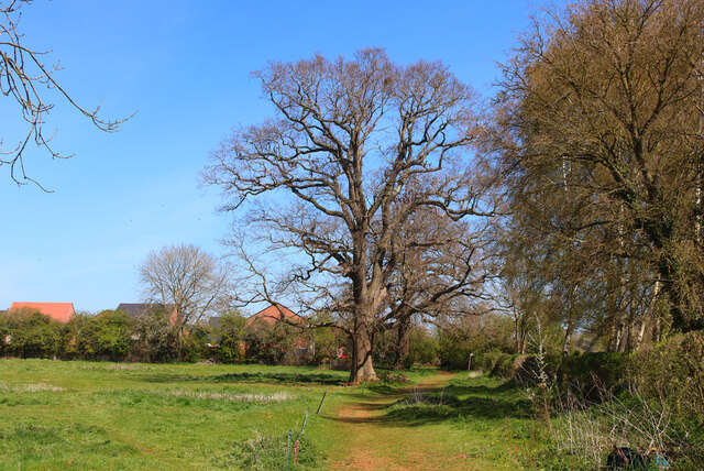
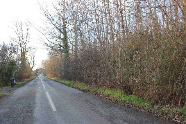
Wellington Wood, Berkshire is a picturesque forest located in the county of Berkshire, England. Spanning over a vast area, this woodland is known for its natural beauty and diverse flora and fauna. The forest is named after the famous Duke of Wellington, who had a close association with the area.

The wood is home to a wide variety of trees, including oak, beech, and birch, which create a dense canopy, providing a sheltered environment for numerous woodland creatures. It is a haven for birdwatchers, as it attracts a range of bird species such as woodpeckers, buzzards, and owls.

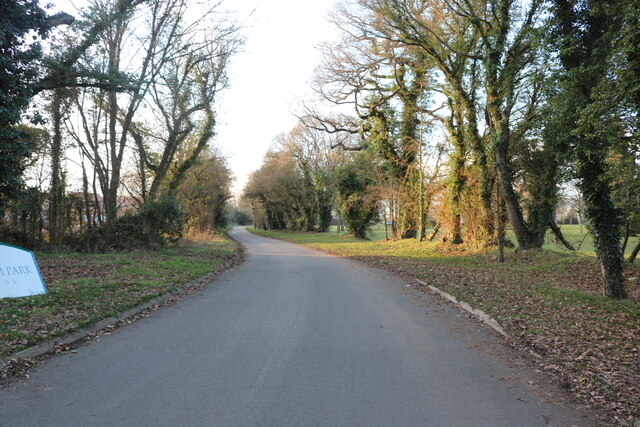
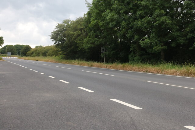
Wellington Wood offers numerous walking trails, allowing visitors to explore its enchanting surroundings. The woodland paths wind through the forest, offering breathtaking views of the natural landscape. The forest floor is carpeted with a rich assortment of wildflowers, creating a vibrant and colorful scene during the spring and summer months.

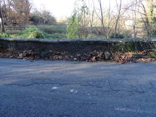
In addition to its natural beauty, Wellington Wood also holds cultural and historical significance. The area has been inhabited for centuries, and remnants of ancient settlements can still be found within the forest. Archaeological sites and artifacts have been discovered, providing insights into the lives of those who once called this woodland home.

Overall, Wellington Wood, Berkshire is a captivating destination for nature enthusiasts and history buffs alike. Its serene atmosphere, diverse wildlife, and rich history make it an ideal place to reconnect with nature and explore the beauty of the Berkshire countryside.

If you have any feedback on the listing, please let us know in the comments section below.

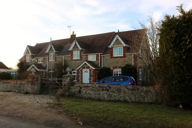
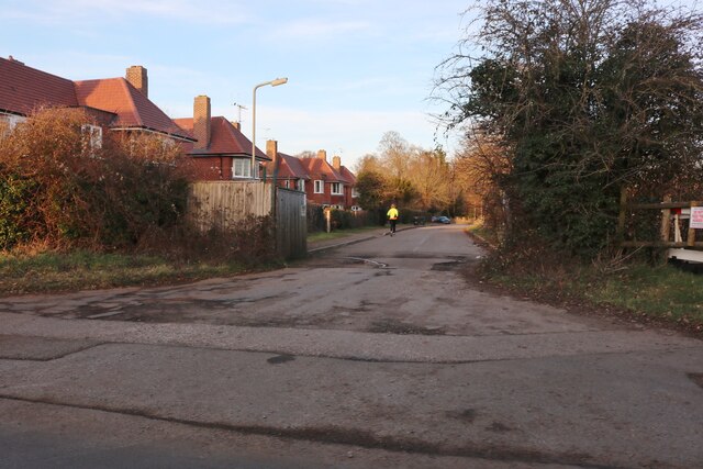
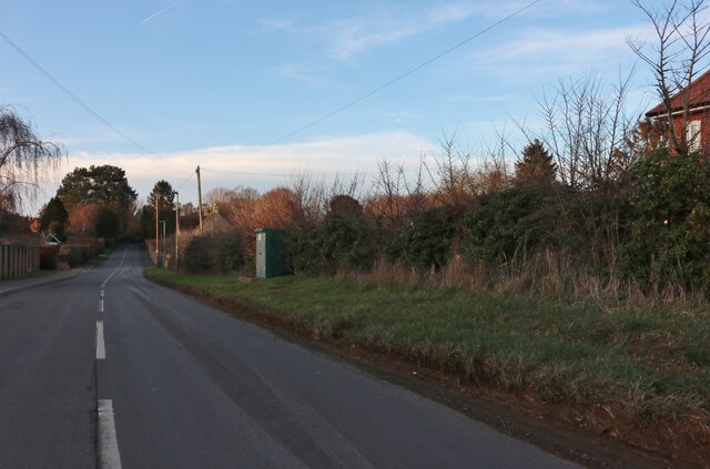
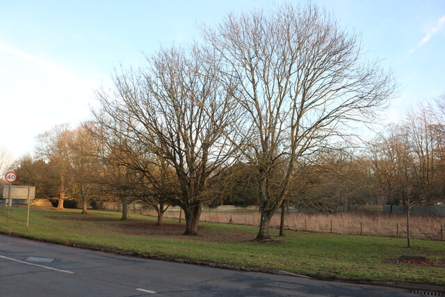
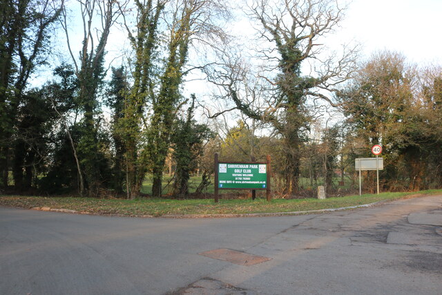
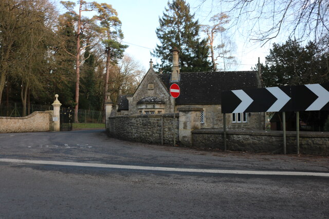
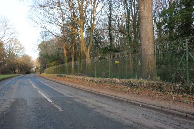
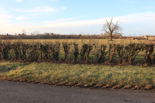
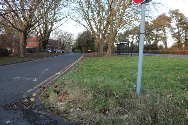
Wellington Wood Images

Images are sourced within 2km of 51.607435/-1.6420817 or Grid Reference SU2489. Thanks to Geograph Open Source API. All images are credited.

Footpath near Shrivenham Footpath near Shrivenham.
Footpath near Shrivenham
Footpath near Shrivenham.
Shrivenham : Elm Tree House Grade II* listed house - <span class="nowrap"><a title="https://historicengland.org.uk/listing/the-list/list-entry/1183075?section=official-list-entry" rel="nofollow ugc noopener" href="https://historicengland.org.uk/listing/the-list/list-entry/1183075?section=official-list-entry">Link</a><img style="margin-left:2px;" alt="External link" title="External link - shift click to open in new window" src="https://s1.geograph.org.uk/img/external.png" width="10" height="10"/></span>
Shrivenham : Elm Tree House
Grade II* listed house - LinkExternal link
Shrivenham : Methodist Church
Shrivenham : window of thatched cottage
Pennyhooks Lane, Shrivenham Leading to the golf club.
Pennyhooks Lane, Shrivenham
Leading to the golf club.
Cottages on Longcot Road near Watchfield
Park Avenue, Shrivenham
Longcot Road, Shrivenham
Faringdon Road, Shrivenham
The entrance to Shrivenham Park Golf Club
Lodge at the entrance to Cranfield University, Shrivenham Here is the entrance to their original site. <a title="https://www.geograph.org.uk/photo/7309040" href="https://www.geograph.org.uk/photo/7309040">Link</a>
Lodge at the entrance to Cranfield University, Shrivenham
Here is the entrance to their original site. Link
Northford Hill, Shrivenham Cranfield University is behind the trees on the right.
Northford Hill, Shrivenham
Cranfield University is behind the trees on the right.
Field by Longcot Road, Shrivenham You can just see Home Farm on the right attached to the field.
Field by Longcot Road, Shrivenham
You can just see Home Farm on the right attached to the field.
Longcot Road, Shrivenham
The A420, Shrivenham
Old Boundary Markers on Northford Bridge Two Parish Boundary Markers a few metres apart at the foot of the parapet of Northford Bridge, Tuckmill Brook, on the southeast side of the former A420 Faringdon Road / Northford Hill. These could just be wheel guards as there are no inscriptions and nothing is shown on old Ordnance Survey maps but the stones are set either side of the boundary between Shrivenham and Watchfield parishes.

Milestone Society National ID: BE_SHRWAT01pb
Old Boundary Markers on Northford Bridge
Two Parish Boundary Markers a few metres apart at the foot of the parapet of Northford Bridge, Tuckmill Brook, on the southeast side of the former A420 Faringdon Road / Northford Hill. These could just be wheel guards as there are no inscriptions and nothing is shown on old Ordnance Survey maps but the stones are set either side of the boundary between Shrivenham and Watchfield parishes. Milestone Society National ID: BE_SHRWAT01pb
Direction Sign – Signpost on Longcot Road, Shrivenham Located on a grass triangle on the southeast side of the junction of Longcot Road and a minor road to Knighton. Shrivenham parish, Oxfordshire, was Berkshire. 3 arms and annulus finial. See also <a title="https://www.geograph.org.uk/photo/6540704" href="https://www.geograph.org.uk/photo/6540704">Link</a>.

Milestone Society National ID: BE_SU2589
Direction Sign – Signpost on Longcot Road, Shrivenham
Located on a grass triangle on the southeast side of the junction of Longcot Road and a minor road to Knighton. Shrivenham parish, Oxfordshire, was Berkshire. 3 arms and annulus finial. See also Link. Milestone Society National ID: BE_SU2589
Faringdon Road, Watchfield Most of the area is military with a base and housing.
Faringdon Road, Watchfield
Most of the area is military with a base and housing.
Show me another place!

Wellington Wood is located at Grid Ref: SU2489 (Lat: 51.607435, Lng: -1.6420817)

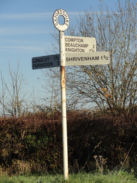
Administrative County: Oxfordshire

District: Vale of White Horse

Police Authority: Thames Valley

What 3 Words

///wriggled.bump.risking. Near Shrivenham, Oxfordshire

Related Wikis

Royal Military College of Science

The Royal Military College of Science (RMCS) was a British postgraduate school, research institution and training provider with origins dating back to...

Defence Academy of the United Kingdom

The Defence Academy of the United Kingdom provides higher education for personnel in the British Armed Forces, Civil Service, other government departments...

Watchfield

Watchfield is a village and civil parish in the Vale of White Horse in on the edge of southwest Oxfordshire, southern England, about 3 miles (4.8 km) southeast...

Joint Services Command and Staff College

Joint Services Command and Staff College (JSCSC) is a British military academic establishment providing training and education to experienced officers...

Advanced Research and Assessment Group

The Advanced Research and Assessment Group (ARAG) was a department of the Defence Academy of the United Kingdom concerned with long-term planning and threat...

Royal Army Chaplains' Museum

The Royal Army Chaplains' Museum (formerly the Museum of Army Chaplaincy) tells the story of British Army chaplaincy from earliest times to the present...

Beckett Hall

Beckett Hall (or Beckett House) is a country house at Shrivenham in the English county of Oxfordshire (formerly in Berkshire). The present house dates...

Shrivenham F.C.

Shrivenham F.C. is a football club based in Shrivenham, an Oxfordshire village, near Swindon, England. They play in the Wiltshire League Premier Division...

Nearby Amenities

Located within 500m of 51.607435,-1.6420817
Watchfield
Place: village
Postal Code: SN6 8
Wikidata: Q1883700
Wikipedia: en:Watchfield
Lat/Long: 51.6103384/-1.6473441
Bus Stop
Axis Road
Naptan AtcoCode: 340000798AR
Naptan Bearing: NE
Naptan CommonName: Axis Road
Naptan Indicator: Corner
Naptan Landmark: Axis Road
Naptan NaptanCode: oxfamwta
Naptan Street: Faringdon Road
Naptan Verified: no
Source: naptan_import
Lat/Long: 51.6106469/-1.6388739
Bus Stop
Axis Road
Naptan AtcoCode: 340000798ARO
Naptan Bearing: SW
Naptan BusStopType: CUS
Naptan CommonName: Axis Road
Naptan Indicator: Opposite
Naptan Landmark: Axis Road
Naptan NaptanCode: oxfawmda
Naptan Street: Faringdon Road
Naptan Verified: no
Shelter: yes
Source: naptan_import
Tactile Paving: no
Lat/Long: 51.6105744/-1.6386723
Bus Stop
Military College of Science
Naptan AtcoCode: 340000799COS
Naptan Bearing: SW
Naptan CommonName: Military College of Science
Naptan Indicator: Military College of Science
Naptan Landmark: College Of Science
Naptan NaptanCode: oxfgpgdt
Naptan Street: Main Entrance
Naptan Verified: no
Source: naptan_import
Lat/Long: 51.6039558/-1.6443274
Bus Stop
Northford Hill
Bench: yes
Bus: yes
Naptan AtcoCode: 340001031CNR
Naptan Bearing: NE
Naptan CommonName: Northford Hill
Naptan Indicator: High St Corner
Naptan Landmark: Bus Shelters
Naptan NaptanCode: oxfagawp
Naptan Street: Northford Hill
Naptan Verified: no
Public Transport: platform
Shelter: yes
Source: naptan_import
Tactile Paving: no
Lat/Long: 51.606853/-1.6449401
Bus Stop
Northford Hill
Bench: yes
Bus: yes
Naptan AtcoCode: 340001031OPP
Naptan Bearing: SW
Naptan CommonName: Northford Hill
Naptan Indicator: Opposite High Street
Naptan Landmark: Bus Shelters
Naptan NaptanCode: oxfagawm
Naptan Street: Northford Hill
Naptan Verified: no
Public Transport: platform
Shelter: yes
Source: naptan_import
Tactile Paving: no
Lat/Long: 51.6067357/-1.6448255
Bus Stop
Squires Road
Naptan AtcoCode: 340003230CNR
Naptan Bearing: NW
Naptan BusStopType: CUS
Naptan CommonName: Squires Road
Naptan Indicator: Corner
Naptan Landmark: Squires Road
Naptan NaptanCode: oxfawmwg
Naptan Street: High Street
Naptan Verified: no
Shelter: no
Source: naptan_import
Tactile Paving: no
Lat/Long: 51.6097335/-1.646538
Bus Stop
Squires Road
Naptan AtcoCode: 340003230OPP
Naptan Bearing: SE
Naptan CommonName: Squires Road
Naptan Indicator: Opposite
Naptan Landmark: Squires Road
Naptan NaptanCode: oxfawmaw
Naptan Street: High Street
Naptan Verified: no
Shelter: no
Source: naptan_import
Tactile Paving: no
Lat/Long: 51.6098681/-1.6464792
Turning Circle
Lat/Long: 51.611323/-1.6421642
Post Box
Collection Times: Mo-Fr 17:30; Sa 11:00
Operator: Royal Mail
Post Box Type: pillar
Ref: SN6 276
Lat/Long: 51.6034549/-1.6399838
Turning Circle
Lat/Long: 51.606846/-1.6407175
Beckett Gate
Barrier: lift_gate
Lat/Long: 51.6038556/-1.644476
Source: Bing
Traffic Calming: hump
Lat/Long: 51.6053901/-1.6397244
Crossing
Crossing: uncontrolled
Tactile Paving: yes
Lat/Long: 51.6066745/-1.6368501
Source: Bing
Traffic Calming: hump
Lat/Long: 51.6058343/-1.6384323
Post Box
Operator: Royal Mail
Post Box Type: lamp
Ref: SN6 314D
Royal Cypher: EIIR
Royal Cypher Wikidata: Q33102113
Lat/Long: 51.6086247/-1.6454846
Give Way
Lat/Long: 51.607639/-1.6440656
Give Way
Lat/Long: 51.6076673/-1.644226
Turning Circle
Lat/Long: 51.6114082/-1.6421674
Give Way
Lat/Long: 51.6074994/-1.6442462
Turning Circle
Lat/Long: 51.6098856/-1.6362964
Historical Watchfield
Historic: monument
Lat/Long: 51.6075719/-1.6444838
The data included in this document is from www.openstreetmap.org. The data is made available under ODbL.

Have you been to Wellington Wood?

Leave your review of Wellington Wood below (or comments, questions and feedback).