Shrewley

Civil Parish in Warwickshire Warwick

England

Shrewley

Shrewley Tunnel At 433 yards, Shrewley Tunnel is by no means the longest on the Grand Union Canal but it is the last one for boats heading towards Birmingham. This is the north-west portal, looking towards Hatton with a boat visible inside.
Shrewley Tunnel Credit: Stephen McKay

Shrewley is a civil parish located in the county of Warwickshire, England. It is situated approximately 7 miles south of the town of Warwick and 4 miles north of the town of Leamington Spa. The parish covers an area of around 7 square miles.

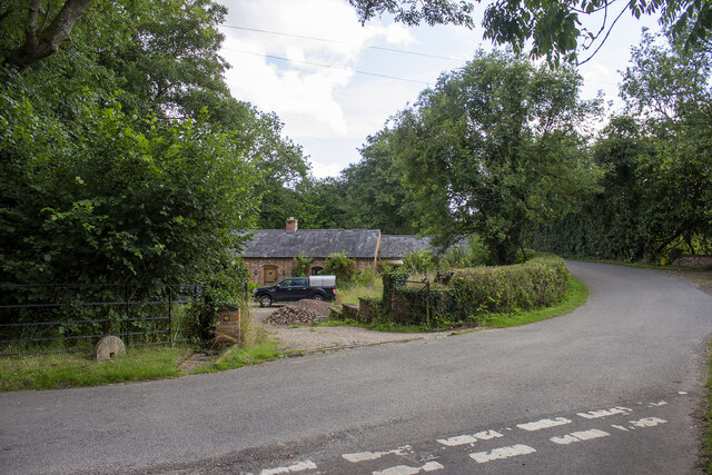
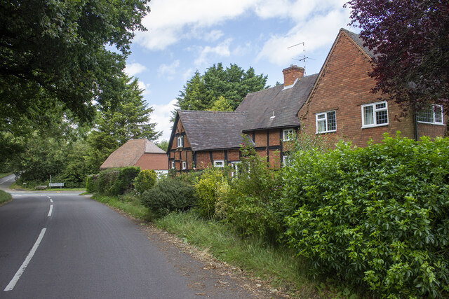
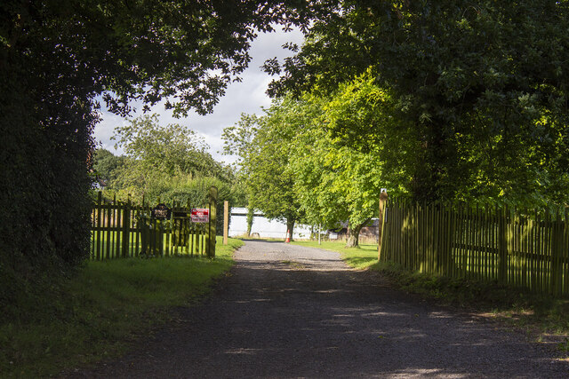
Shrewley is a rural area with a population of around 500 residents. The parish is primarily made up of farmland and countryside, with a few scattered residential properties. The village of Shrewley itself is small and consists of a few houses, a village hall, and a local church.

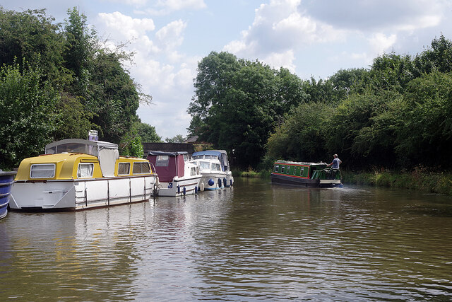
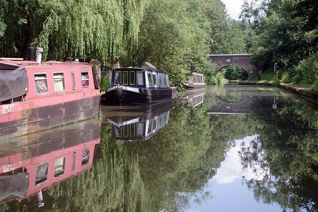
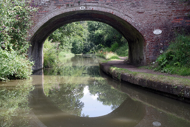
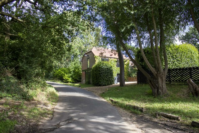
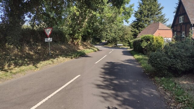
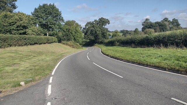
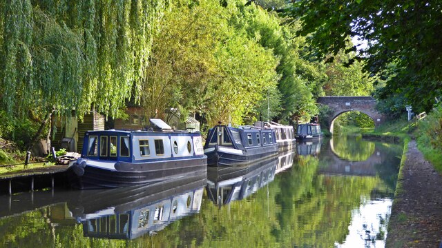
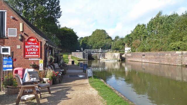
The area is known for its picturesque landscapes, with rolling hills and beautiful countryside views. It offers a peaceful and tranquil environment, making it an ideal location for those seeking a quiet and rural lifestyle. The nearby Grand Union Canal runs through the parish, providing opportunities for leisurely walks and boating activities.

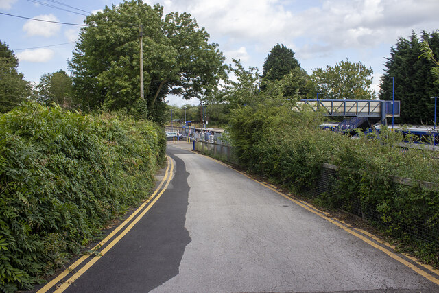
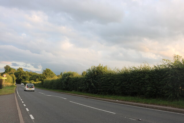
Despite its rural setting, Shrewley benefits from its close proximity to larger towns and cities. Warwick and Leamington Spa offer a range of amenities, including shops, restaurants, and leisure facilities. The parish is also well-connected by road, with easy access to major transport links such as the M40 motorway.

In summary, Shrewley is a small civil parish in Warwickshire, known for its rural charm and beautiful countryside. It is a peaceful and picturesque area, offering a tranquil lifestyle while still being within reach of larger towns and cities.

If you have any feedback on the listing, please let us know in the comments section below.

Shrewley Images

Images are sourced within 2km of 52.305278/-1.677043 or Grid Reference SP2267. Thanks to Geograph Open Source API. All images are credited.

Shrewley Tunnel At 433 yards, Shrewley Tunnel is by no means the longest on the Grand Union Canal but it is the last one for boats heading towards Birmingham. This is the north-west portal, looking towards Hatton with a boat visible inside.
Shrewley Tunnel
At 433 yards, Shrewley Tunnel is by no means the longest on the Grand Union Canal but it is the last one for boats heading towards Birmingham. This is the north-west portal, looking towards Hatton with a boat visible inside.
Grand Union Canal, Hatton A narrowboat heads towards bridge 56 on the approach towards Hatton Locks.
Grand Union Canal, Hatton
A narrowboat heads towards bridge 56 on the approach towards Hatton Locks.
Grand Union Canal, Hatton Green Ahead is no 55, St John's Bridge, the last before boaters face the marathon of Hatton Locks.
Grand Union Canal, Hatton Green
Ahead is no 55, St John's Bridge, the last before boaters face the marathon of Hatton Locks.
St John's Bridge, Grand Union Canal Everything looks peaceful in this scene at bridge 55 but about half a mile ahead is the top of Hatton's 21 Locks which take the canal down to Warwick.
St John's Bridge, Grand Union Canal
Everything looks peaceful in this scene at bridge 55 but about half a mile ahead is the top of Hatton's 21 Locks which take the canal down to Warwick.
Haseley Mill
Haseley Mill
Station Road
Station Road
Hatton Station
Hatton Station
Pinley Hill Farm Converted vernacular farm building at Pinley Hill Farm
Pinley Hill Farm
Converted vernacular farm building at Pinley Hill Farm
Road to Great Pinley Farm
Little Pinley Farm
Little Pinley Farm
Birmingham Road, Haseley
Junction with Hockley Road Station Road nearing junction with Hockley Road (B4439)
Junction with Hockley Road
Station Road nearing junction with Hockley Road (B4439)
Old Warwick Road Old Warwick Road passing Oldfield Hill Farm heading to Rowington
Old Warwick Road
Old Warwick Road passing Oldfield Hill Farm heading to Rowington
Grand Union Canal near John's Bridge no 55
Hatton Locks Café
Hatton Locks Café
Shrewley Tunnel The 433-yard tunnel was built for the Warwick and Birmingham Canal.  It was completed in 1799.  The brick lining is now covered with calciferous deposits that have formed into small stalactites.
Shrewley Tunnel
The 433-yard tunnel was built for the Warwick and Birmingham Canal. It was completed in 1799. The brick lining is now covered with calciferous deposits that have formed into small stalactites.
Hatton Country World Primarily an open farm with other family activities, including a shopping village at the entrance.
Hatton Country World
Primarily an open farm with other family activities, including a shopping village at the entrance.
Hatton Station Turning for the railway station at Hatton.
Hatton Station
Turning for the railway station at Hatton.
Show me another place!

Shrewley is located at Grid Ref: SP2267 (Lat: 52.305278, Lng: -1.677043)

Administrative County: Warwickshire

District: Warwick

Police Authority: Warwickshire

What 3 Words

///pegged.grocers.completed. Near Hatton, Warwickshire

Related Wikis

Shrewley

Shrewley is a village and civil parish in Warwickshire, England, about 5 miles north-west of Warwick. It consists of Little Shrewley, and Shrewley Common...
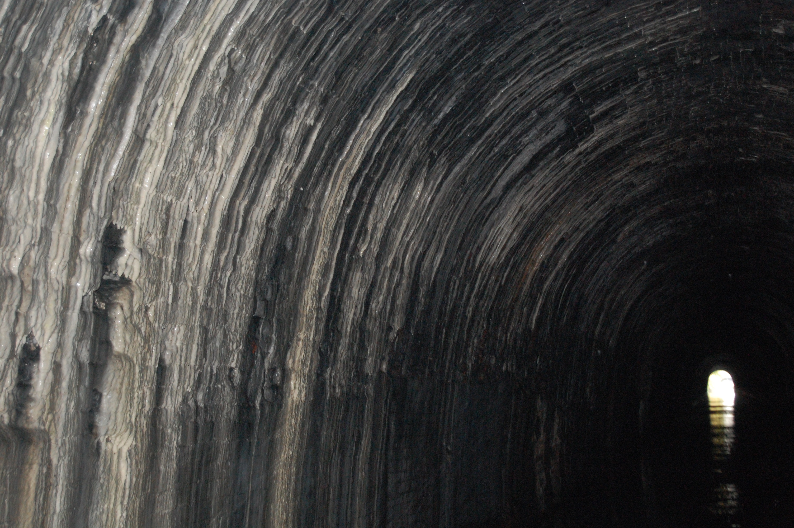
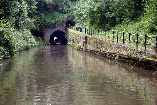
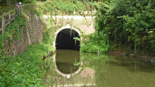
Shrewley Tunnel

Shrewley Tunnel is a canal tunnel near Shrewley, Warwickshire, England, which opened in 1799. It became part of the Grand Union Canal in 1929. == History... ==

Haseley

Haseley is a small village and former civil parish in Warwickshire, England. It is four miles north-west of the county town of Warwick and nine miles...

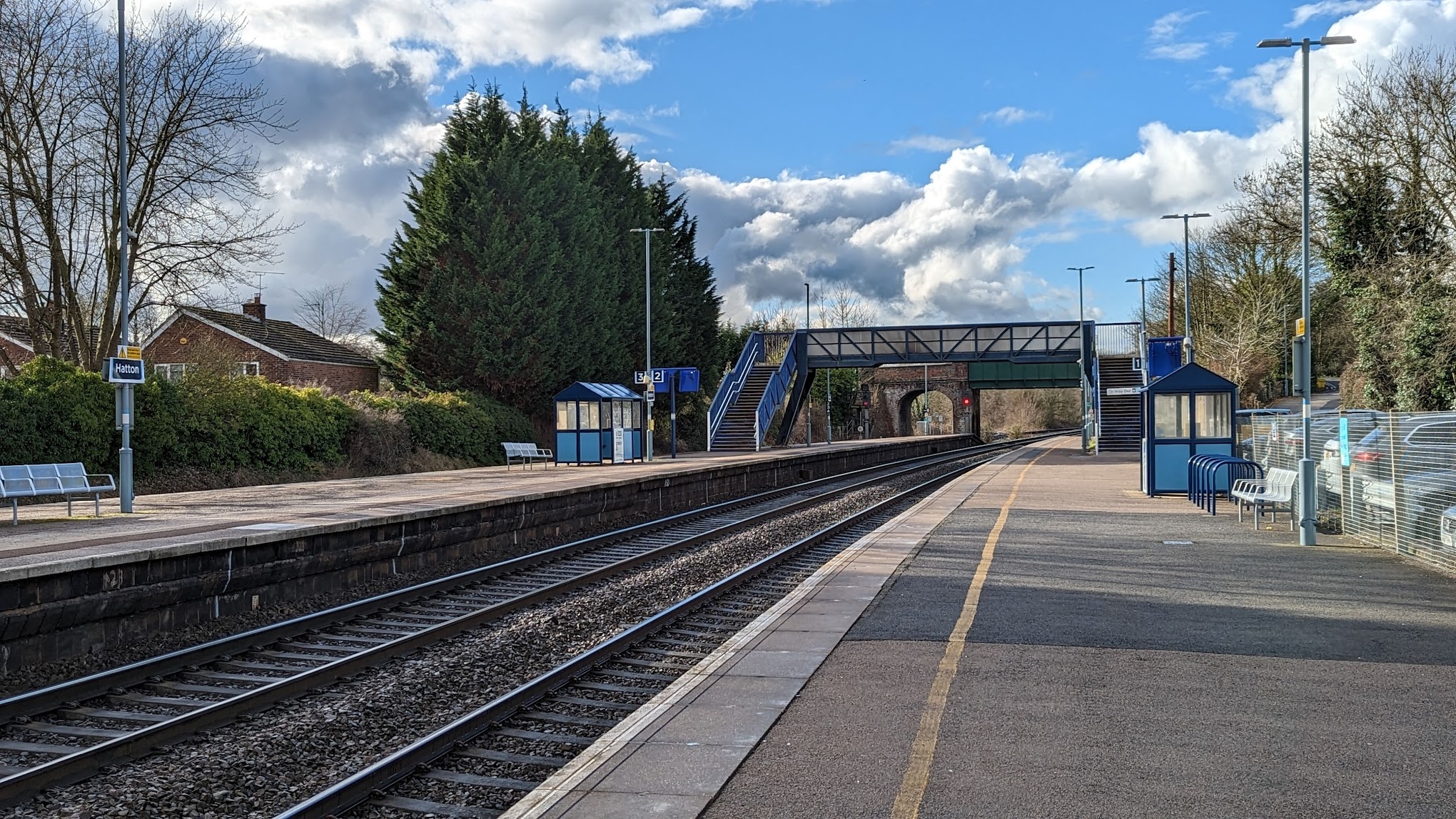
Hatton railway station (England)

Hatton railway station takes the name of the village of Hatton in Warwickshire, England, although it is about 1 mile (1.6 km) from the village. It is situated...

Mercia Mudstone Group

The Mercia Mudstone Group is an early Triassic lithostratigraphic group (a sequence of rock strata) which is widespread in Britain, especially in the English...

Pinley Priory

Pinley Priory, also called Pinley Abbey, was a Cistercian nunnery in the parish of Rowington in Warwickshire, England. It was founded in the early 12th...

Rowington

Rowington is a village and civil parish in the English county of Warwickshire. It is five miles north-west of the town of Warwick and five miles south...

Hatton, Warwickshire

Hatton is a village and civil parish about 4 miles (6 km) west-northwest of Warwick, in the Warwick District of Warwickshire in England. The parish had...

Nearby Amenities

Located within 500m of 52.305278,-1.677043
Bus Stop
Crossroads
Bus: yes
Naptan AtcoCode: 4200F062700
Naptan Bearing: S
Naptan CommonName: Crossroads
Naptan Indicator: Adj
Naptan NaptanCode: waragwta
Naptan Street: Old Warwick Road
Naptan Verified: no
Public Transport: platform
Source: naptan_import
Lat/Long: 52.3064216/-1.6833861
Crossroads
Naptan AtcoCode: 4200F062701
Naptan Bearing: N
Naptan BusStopType: CUS
Naptan CommonName: Crossroads
Naptan Indicator: Adj
Naptan NaptanCode: wardjwgw
Naptan Street: Old Warwick Road
Naptan Verified: no
Source: naptan_import
Lat/Long: 52.3063501/-1.6835626
Little Shrewley Crossroads
Naptan AtcoCode: 4200F086200
Naptan Bearing: W
Naptan BusStopType: CUS
Naptan CommonName: Little Shrewley Crossroads
Naptan Indicator: Adj
Naptan NaptanCode: waradmtw
Naptan Street: Hockley Road
Naptan Verified: no
Source: naptan_import
Lat/Long: 52.3022088/-1.6733118
Little Shrewley Crossroads
Naptan AtcoCode: 4200F086201
Naptan Bearing: E
Naptan BusStopType: CUS
Naptan CommonName: Little Shrewley Crossroads
Naptan Indicator: Adj
Naptan NaptanCode: wardjwgt
Naptan Street: Hockley Road
Naptan Verified: no
Source: naptan_import
Lat/Long: 52.302282/-1.6732788
Little Shrewley
Place: hamlet
Lat/Long: 52.3051585/-1.6739753
Barrier: kissing_gate
Source: survey
Lat/Long: 52.3012574/-1.6761877
Barrier: kissing_gate
Lat/Long: 52.3021948/-1.6765794
Barrier: stile
Lat/Long: 52.3024829/-1.6777072
Barrier: stile
Lat/Long: 52.3049451/-1.6776613
Barrier: stile
Lat/Long: 52.306433/-1.6743984
Barrier: stile
Lat/Long: 52.3033783/-1.6785853
Barrier: stile
Lat/Long: 52.3072383/-1.6730426
Barrier: stile
Lat/Long: 52.3072964/-1.6728507
Barrier: stile
Lat/Long: 52.3078671/-1.6712843
Post Box
Collection Times: Mo-Fr 15:15; Sa 08:30
Operator: Royal Mail
Operator Wikidata: Q638098
Post Box Mounting: brick_pillar
Post Box Type: wall
Ref: CV35 122
Royal Cypher: VR
Royal Cypher Wikidata: Q33102356
Source: survey
Lat/Long: 52.3059397/-1.6722208
Telephone
Booth: K6
Covered: booth
Phone: +44 1926 484414
Source: survey
Lat/Long: 52.3059205/-1.6722104
Give Way
Source: Warwicks CC Aeriaal Imagery 2013
Lat/Long: 52.3064549/-1.6835723
Give Way
Source: Warwicks CC Aeriaal Imagery 2013
Lat/Long: 52.306643/-1.6835723
Operator: National Grid Electricity Distribution
Operator Wikidata: Q7988183
Power: pole
Source: Warwicks CC Aerial Imagery 2013
Lat/Long: 52.3079689/-1.6820598
Material: wood
Operator: National Grid Electricity Distribution
Operator Wikidata: Q7988183
Power: pole
Source: bing
Lat/Long: 52.307311/-1.6707641
Material: wood
Operator: National Grid Electricity Distribution
Operator Wikidata: Q7988183
Power: pole
Source: bing
Lat/Long: 52.3076537/-1.6722044
Material: wood
Operator: National Grid Electricity Distribution
Operator Wikidata: Q7988183
Power: pole
Ref: 931759
Source: wpd_opendata
Transformer: distribution
Lat/Long: 52.3073536/-1.6729474
Material: wood
Operator: National Grid Electricity Distribution
Operator Wikidata: Q7988183
Power: pole
Source: bing
Lat/Long: 52.3071355/-1.6741383
Material: wood
Operator: National Grid Electricity Distribution
Operator Wikidata: Q7988183
Power: pole
Source: bing
Lat/Long: 52.3070486/-1.6752863
Material: wood
Operator: National Grid Electricity Distribution
Operator Wikidata: Q7988183
Power: pole
Source: bing
Lat/Long: 52.3069354/-1.6767937
Material: wood
Operator: National Grid Electricity Distribution
Operator Wikidata: Q7988183
Power: pole
Source: bing
Lat/Long: 52.3068879/-1.6775662
Material: wood
Operator: National Grid Electricity Distribution
Operator Wikidata: Q7988183
Power: pole
Ref: 931757
Source: wpd_opendata
Transformer: distribution
Lat/Long: 52.3072208/-1.6794464
Material: wood
Operator: National Grid Electricity Distribution
Operator Wikidata: Q7988183
Power: pole
Source: bing
Lat/Long: 52.307352/-1.679889
Operator: National Grid Electricity Distribution
Operator Wikidata: Q7988183
Power: pole
Source: bing
Lat/Long: 52.3076677/-1.6809994
The data included in this document is from www.openstreetmap.org. The data is made available under ODbL.

Have you been to Shrewley?

Leave your review of Shrewley below (or comments, questions and feedback).