Yew Green
Settlement in Warwickshire Warwick
England
Yew Green
Yew Green is a small village located in the county of Warwickshire, in the heart of England. Situated approximately 3 miles southeast of the town of Stratford-upon-Avon, Yew Green is nestled amidst the picturesque rolling countryside that the region is renowned for.
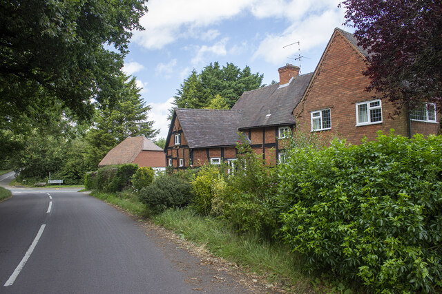
The village itself is characterized by its quaint charm and traditional English architecture. It is home to a close-knit community, with a population of around 300 residents. The village is primarily residential, with a scattering of small businesses and local amenities to cater to the needs of its inhabitants.
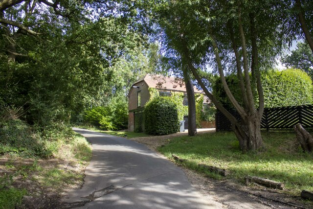
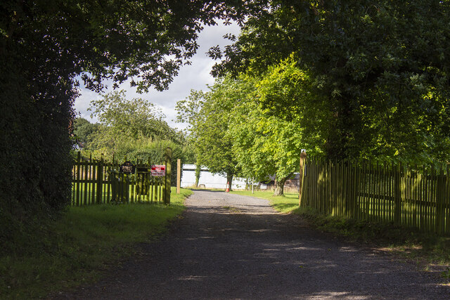
Yew Green boasts a rich history that can be traced back several centuries. The village is dotted with historic landmarks, including a beautiful 12th-century church that stands as a testament to its past. The surrounding area also offers plenty of opportunities for outdoor activities, with numerous walking and cycling trails crisscrossing the nearby countryside.
Despite its rural setting, Yew Green benefits from its proximity to Stratford-upon-Avon, a bustling market town famous as the birthplace of William Shakespeare. This provides residents with easy access to a wider range of amenities, including shops, restaurants, and cultural attractions.
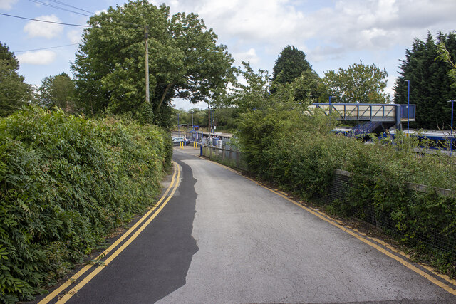
Yew Green is well-connected to the rest of Warwickshire and the wider region by a network of roads, making it easily accessible by car. Additionally, public transportation options are available, with regular bus services linking the village to neighboring towns and villages.
In summary, Yew Green offers a tranquil and idyllic setting for those seeking a peaceful village lifestyle, while still providing convenient access to the amenities and cultural offerings of the nearby town of Stratford-upon-Avon.
If you have any feedback on the listing, please let us know in the comments section below.
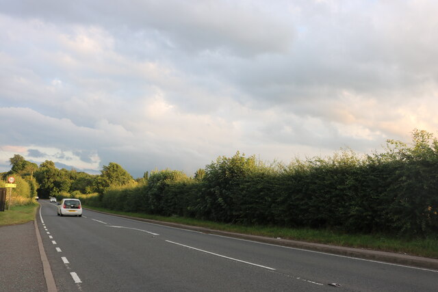
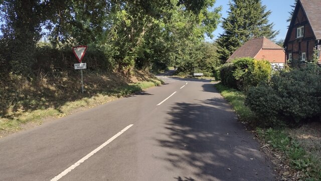
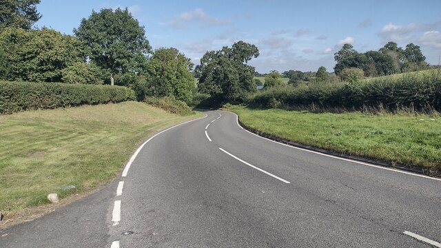
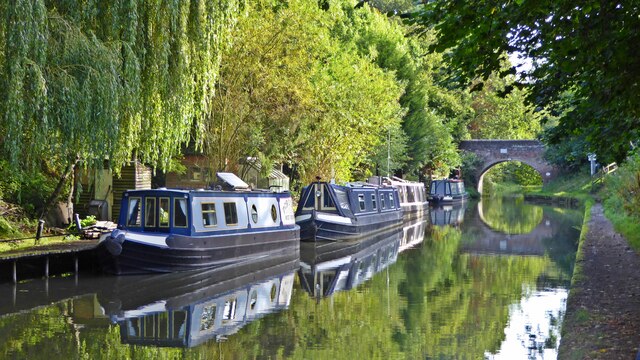
Yew Green Images
Images are sourced within 2km of 52.300686/-1.6788012 or Grid Reference SP2267. Thanks to Geograph Open Source API. All images are credited.


Yew Green is located at Grid Ref: SP2267 (Lat: 52.300686, Lng: -1.6788012)
Administrative County: Warwickshire
District: Warwick
Police Authority: Warwickshire
What 3 Words
///flanks.steadier.figure. Near Hatton, Warwickshire
Nearby Locations
Related Wikis
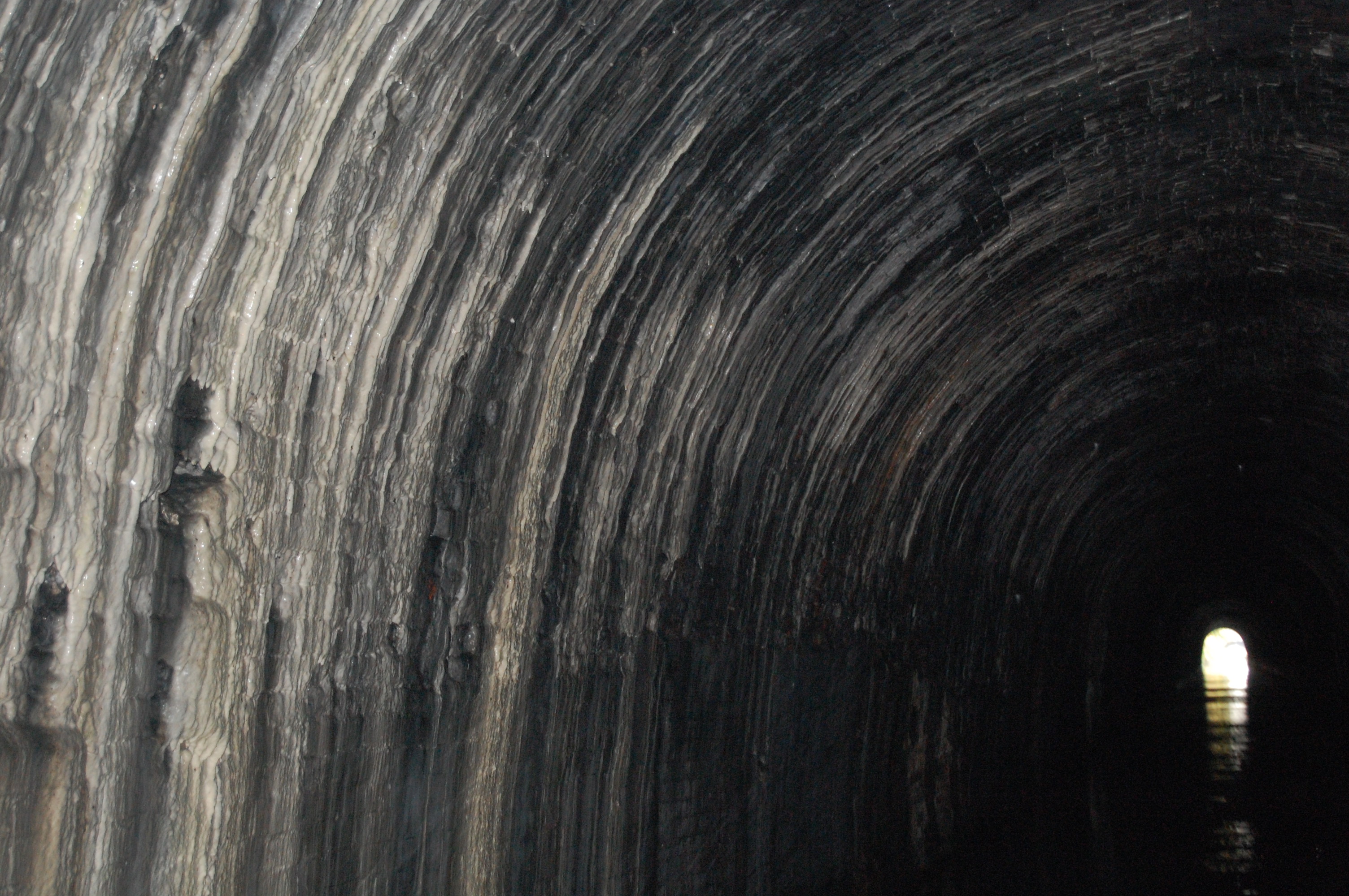
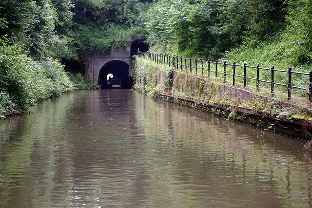
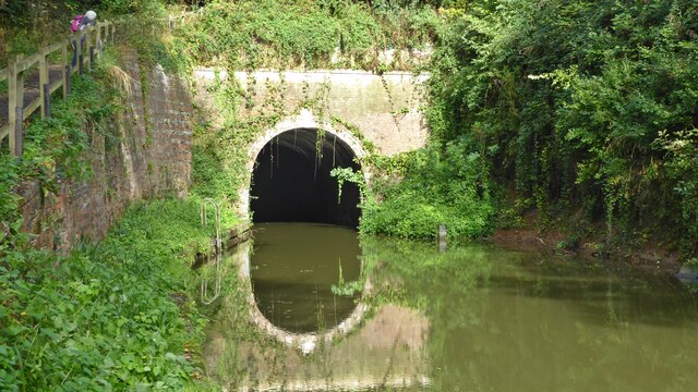
Shrewley Tunnel
Shrewley Tunnel is a canal tunnel near Shrewley, Warwickshire, England, which opened in 1799. It became part of the Grand Union Canal in 1929. == History... ==

Shrewley
Shrewley is a village and civil parish in Warwickshire, England, about 5 miles north-west of Warwick. It consists of Little Shrewley, and Shrewley Common...
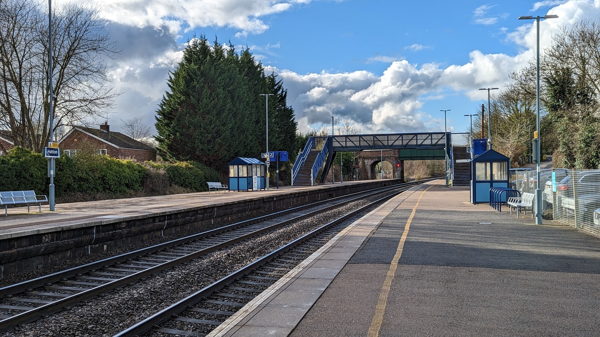
Hatton railway station (England)
Hatton railway station takes the name of the village of Hatton in Warwickshire, England, although it is about 1 mile (1.6 km) from the village. It is situated...

Mercia Mudstone Group
The Mercia Mudstone Group is an early Triassic lithostratigraphic group (a sequence of rock strata) which is widespread in Britain, especially in the English...

Haseley
Haseley is a small village and former civil parish in Warwickshire, England. It is four miles north-west of the county town of Warwick and nine miles...

Pinley Priory
Pinley Priory, also called Pinley Abbey, was a Cistercian nunnery in the parish of Rowington in Warwickshire, England. It was founded in the early 12th...

Rowington
Rowington is a village and civil parish in the English county of Warwickshire. It is five miles north-west of the town of Warwick and five miles south...

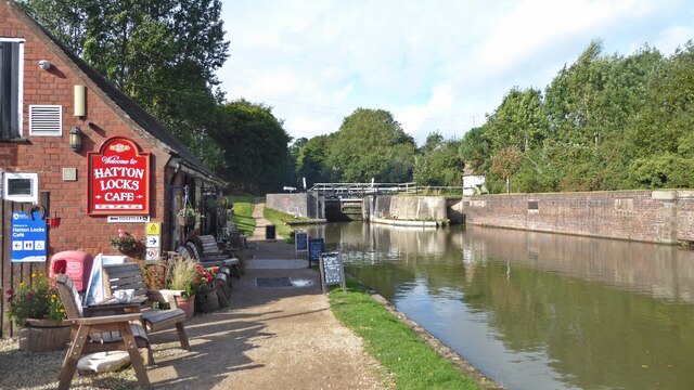
Hatton, Warwickshire
Hatton is a village and civil parish about 4 miles (6 km) west-northwest of Warwick, in the Warwick District of Warwickshire in England. The parish had...
Nearby Amenities
Located within 500m of 52.300686,-1.6788012Have you been to Yew Green?
Leave your review of Yew Green below (or comments, questions and feedback).