Shap
Civil Parish in Westmorland Eden
England
Shap
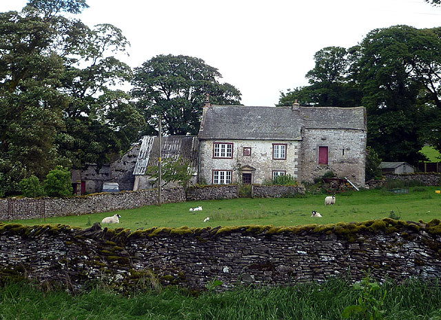
Shap is a civil parish located in the county of Cumbria, England. It is situated in the district of Eden, in the northwestern part of the county. Shap is a small village with a population of around 1,400 residents.
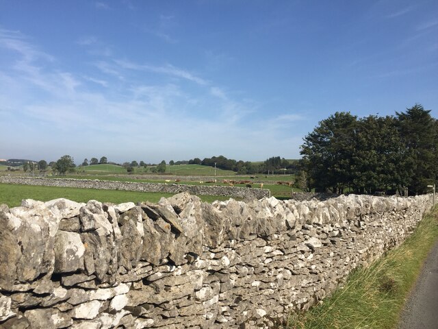
The village is nestled in the beautiful countryside of the Lake District National Park, surrounded by stunning landscapes and picturesque views. It is known for its close proximity to the Shap Summit, a high point on the West Coast Main Line railway that offers breathtaking views of the surrounding hills and valleys.
Shap has a rich history dating back to the Roman times when it was an important settlement on the route between the Roman forts of Penrith and Kendal. The remains of a Roman fort, known as the Shap Castrum, can still be seen in the area.
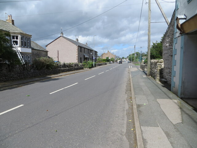
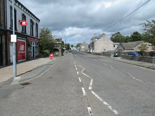
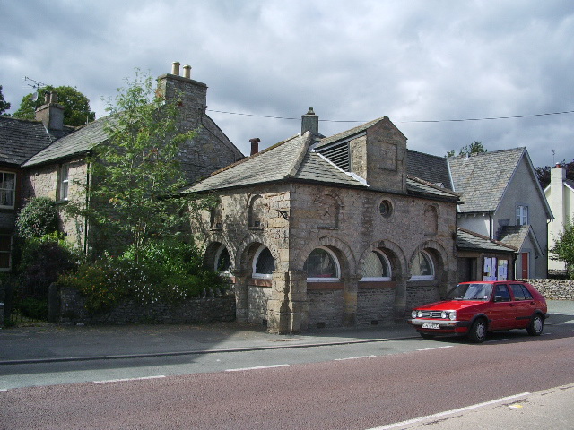
In terms of amenities, Shap offers a range of facilities to its residents and visitors. These include a primary school, a post office, a few local shops, a village hall, and several pubs and restaurants. The village is also home to the Shap Wells Hotel, a historic country house hotel that attracts tourists from all over the country.
Shap is a popular destination for outdoor enthusiasts, with numerous walking and cycling routes in the surrounding countryside. Additionally, the village is located near the Haweswater Reservoir, a stunning lake that offers opportunities for fishing, boating, and birdwatching.
Overall, Shap is a charming village with a rich history and natural beauty, making it an appealing place to visit or reside for those seeking a peaceful and picturesque location in the Lake District.
If you have any feedback on the listing, please let us know in the comments section below.
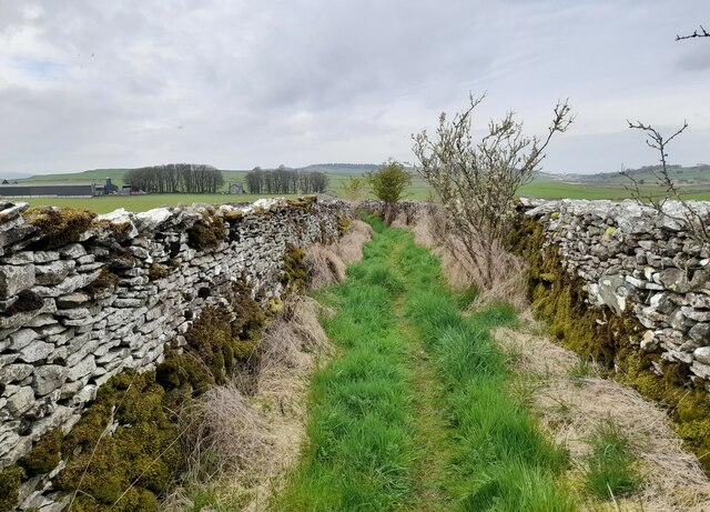
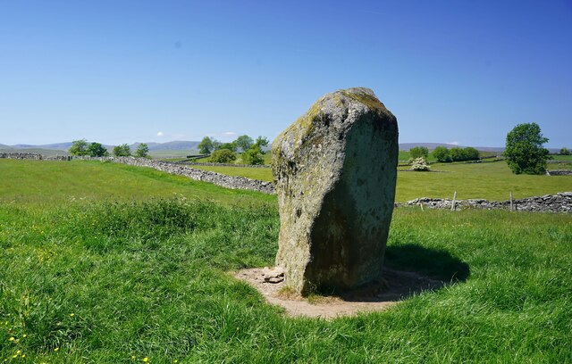
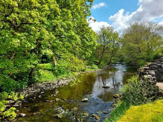
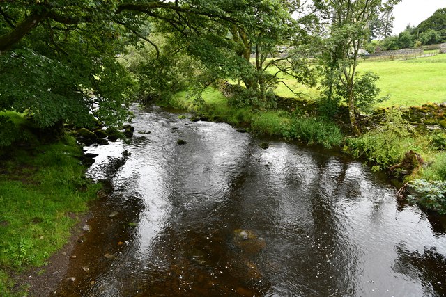
Shap Images
Images are sourced within 2km of 54.536278/-2.696335 or Grid Reference NY5515. Thanks to Geograph Open Source API. All images are credited.


Shap is located at Grid Ref: NY5515 (Lat: 54.536278, Lng: -2.696335)
Administrative County: Cumbria
District: Eden
Police Authority: Cumbria
What 3 Words
///motored.gent.leaned. Near Shap, Cumbria
Nearby Locations
Related Wikis

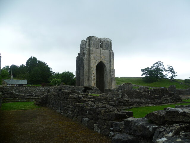
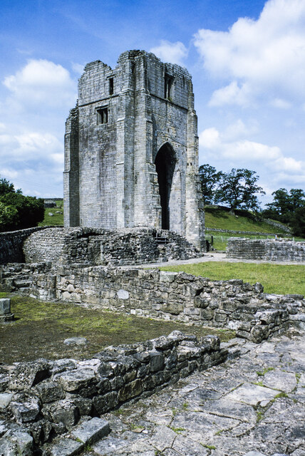
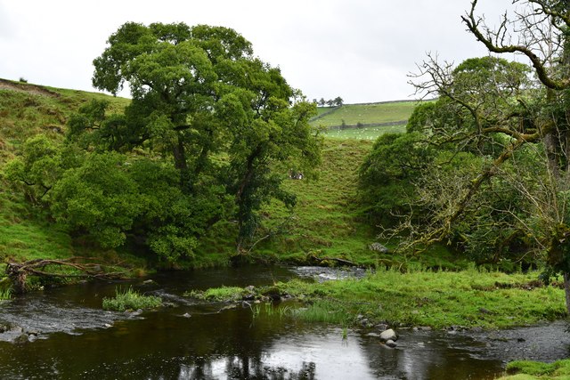
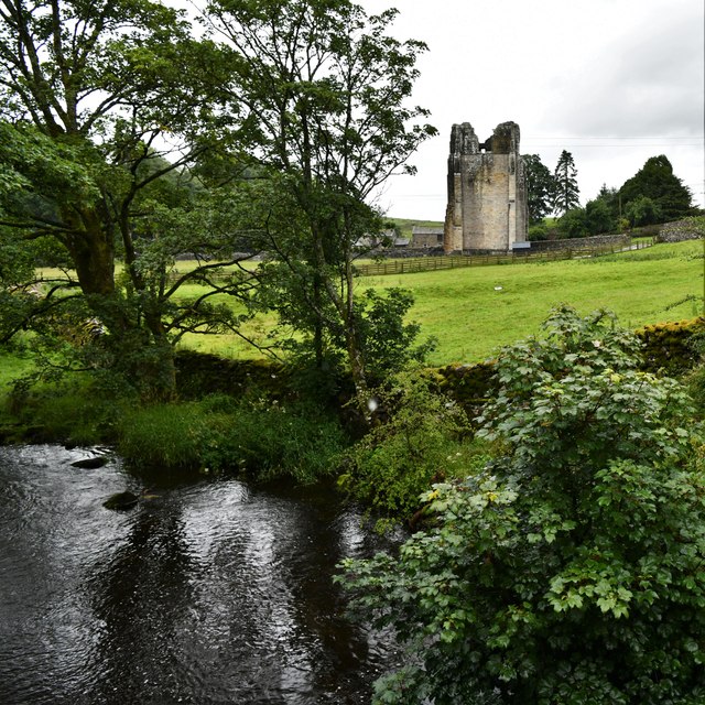
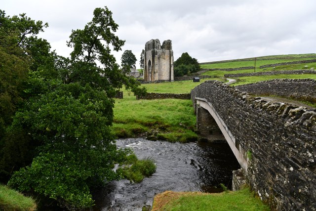
Shap Abbey
Shap Abbey was a religious house of the Premonstratensian order of Canons regular situated on the western bank of the River Lowther in the civil parish...

Keld, Cumbria
Keld (or Keilde) is a hamlet in the English county of Cumbria. It lies within the civil parish of Shap. On the banks of the River Lowther it is a mile...
Shap
Shap is a village and civil parish located among fells and isolated dales in Westmorland and Furness, Cumbria, England. The village is in the historic...

Shap railway station
Shap railway station served the village of Shap, Westmorland (now in Cumbria), England for over 120 years. == Operations == The station was situated on...
Bomby
Bomby is a village in Cumbria, England. Bomby village consists only of one farm house. The farm is mostly known for its specific potatoes, the Kind Edward...

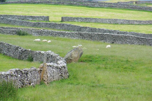
Shap Stone Avenue
The Shap Stone Avenue (an unofficial name) is a megalithic complex near Shap in Cumbria, England, comprising stone circles, a two-mile avenue (actually...

Bampton Grange
Bampton Grange is a village in Cumbria, England. Haweswater Beck arises as a stream discharge from Haweswater Reservoir and flows eastward, just north...
Hardendale
Hardendale is a hamlet in the parish of Shap Rural in the Eden District, in the county of Cumbria, England, near Shap and junction 39 of the M6 motorway...
Nearby Amenities
Located within 500m of 54.536278,-2.696335Have you been to Shap?
Leave your review of Shap below (or comments, questions and feedback).