Thunder Stone
Heritage Site in Westmorland Eden
England
Thunder Stone
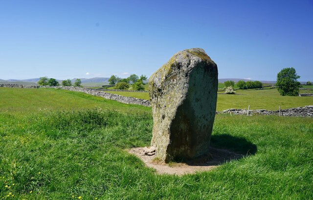
Thunder Stone is a heritage site located in Westmorland, a county in the northwestern region of England. This historic landmark holds great significance as it is one of the largest glacial erratic boulders in the country. The stone measures approximately 6 meters in height and weighs around 20 tons, making it an impressive sight for visitors.
The Thunder Stone is believed to have been deposited by a glacier during the last Ice Age, around 10,000 years ago. Its unique name is derived from the local folklore that claims the stone emits a loud booming sound during thunderstorms, adding an element of mystique to its presence.
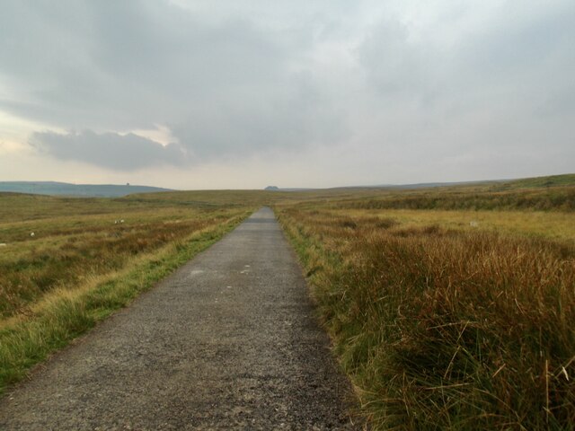
Located in a picturesque countryside setting, the Thunder Stone attracts tourists and nature enthusiasts alike. The site offers breathtaking views of the surrounding landscape, with rolling hills and lush greenery stretching as far as the eye can see.
Visitors to Thunder Stone can explore the area via well-maintained footpaths and trails that wind through the countryside. Information boards provide historical and geological context, allowing visitors to gain a deeper understanding of the site's significance.
The Thunder Stone remains an important cultural and geological landmark in Westmorland, attracting visitors from across the country. Its unique formation and connection to local folklore make it a popular destination for those seeking to immerse themselves in the natural beauty and history of the region.
If you have any feedback on the listing, please let us know in the comments section below.
Thunder Stone Images
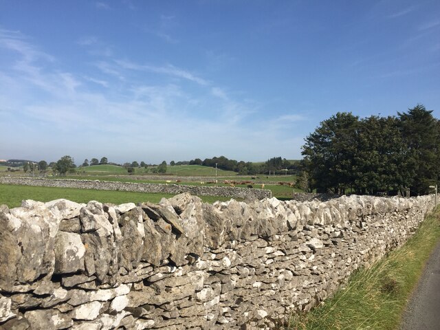
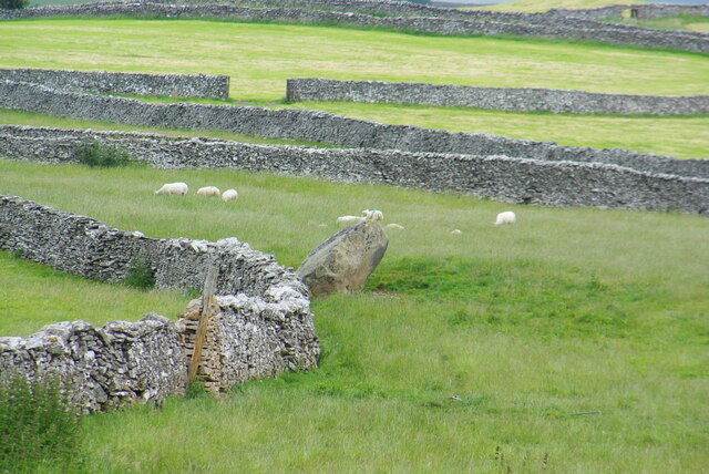
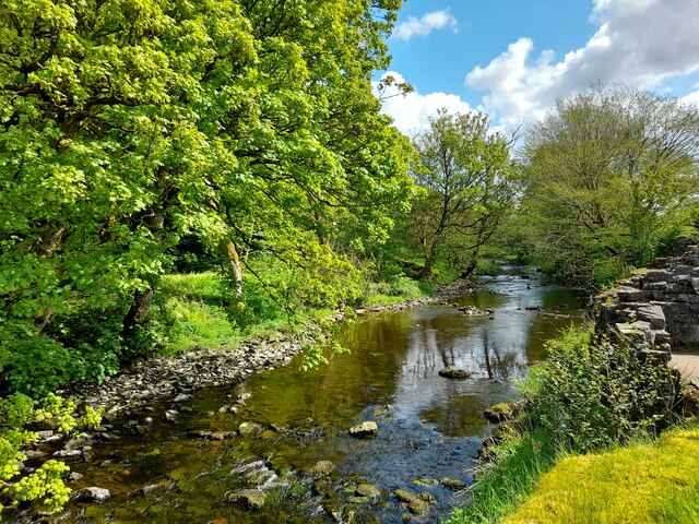
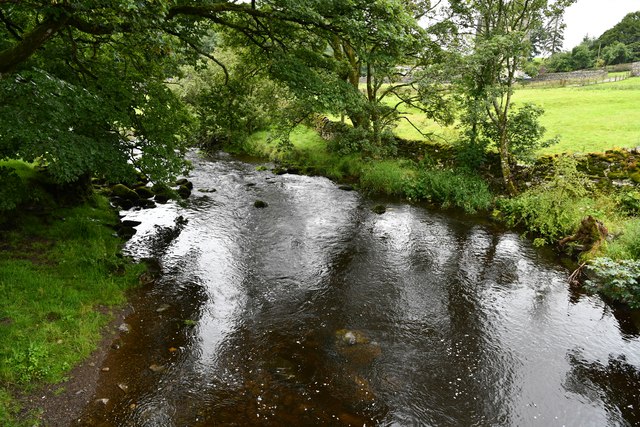
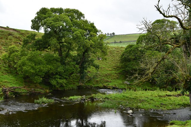
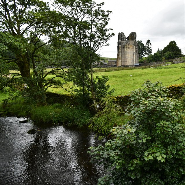
Images are sourced within 2km of 54.533/-2.687 or Grid Reference NY5515. Thanks to Geograph Open Source API. All images are credited.

Thunder Stone is located at Grid Ref: NY5515 (Lat: 54.533, Lng: -2.687)
Administrative County: Cumbria
District: Eden
Police Authority: Cumbria
What 3 Words
///messed.ramming.fond. Near Shap, Cumbria
Nearby Locations
Related Wikis
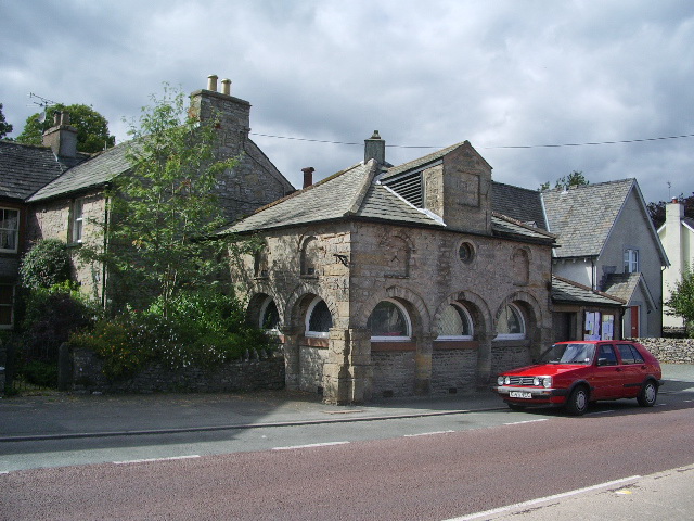
Shap
Shap is a village and civil parish located among fells and isolated dales in Westmorland and Furness, Cumbria, England. The village is in the historic...

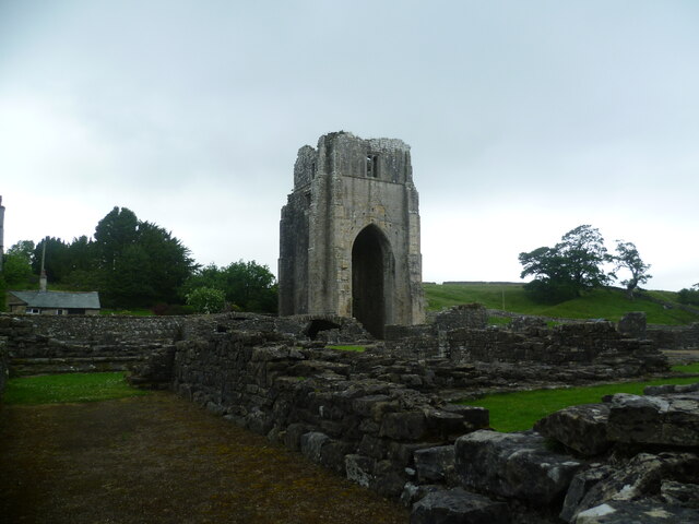
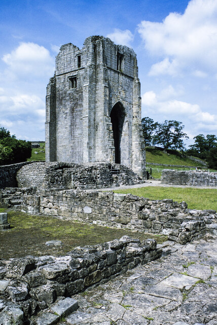
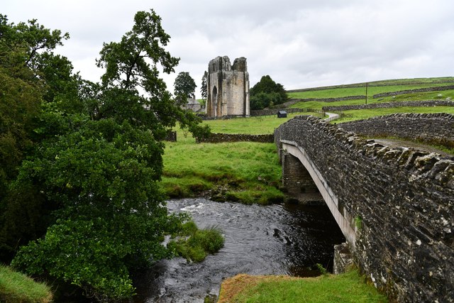
Shap Abbey
Shap Abbey was a religious house of the Premonstratensian order of Canons regular situated on the western bank of the River Lowther in the civil parish...

Keld, Cumbria
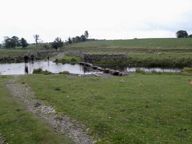
Keld (or Keilde) is a hamlet in the English county of Cumbria. It lies within the civil parish of Shap. On the banks of the River Lowther it is a mile...

Shap railway station
Shap railway station served the village of Shap, Westmorland (now in Cumbria), England for over 120 years. == Operations == The station was situated on...
Nearby Amenities
Located within 500m of 54.533,-2.687Have you been to Thunder Stone?
Leave your review of Thunder Stone below (or comments, questions and feedback).