Sausthorpe

Civil Parish in Lincolnshire East Lindsey

England

Sausthorpe

River Lymn NW of Partney Bridge: aerial 2016 Extends into <a href="https://www.geograph.org.uk/gridref/TF3968">TF3968</a>.
River Lymn NW of Partney Bridge: aerial 2016 Credit: Chris

Sausthorpe is a civil parish located in the East Lindsey district of Lincolnshire, England. Situated approximately 5 miles east of the market town of Spilsby, Sausthorpe is a predominantly rural area encompassing a small village and surrounding farmland.

The village itself is characterized by a charming mix of traditional brick and stone cottages, many of which date back several centuries. The parish also features a historic church, St. Andrew's, which is a Grade II listed building and serves as a focal point for the community.

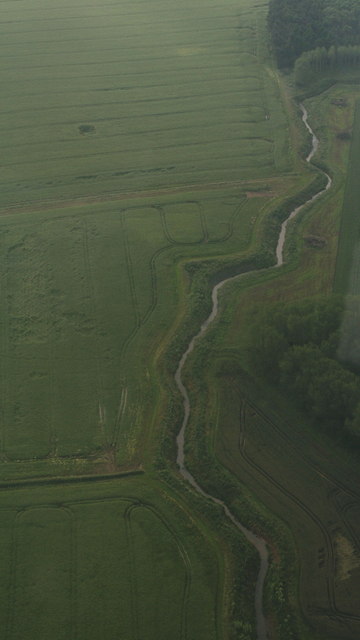
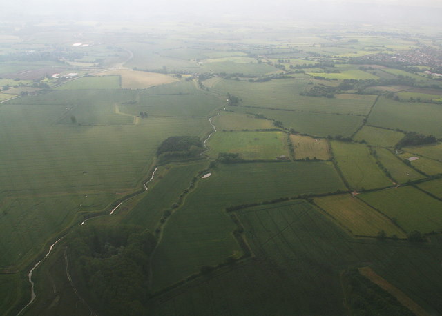
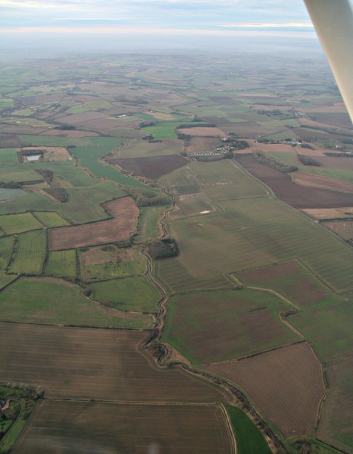
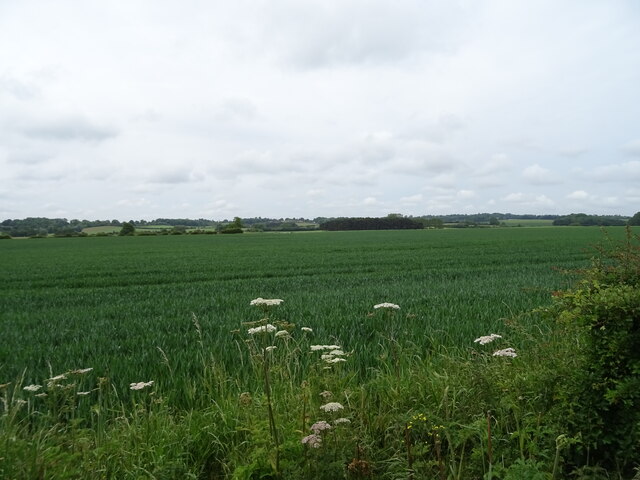
The landscape of Sausthorpe is predominantly agricultural, with vast open fields and meadows that are used for grazing livestock and cultivating crops. The area is known for its fertile soil, which supports a variety of agricultural activities, including arable farming and sheep rearing.

Despite its small size and rural location, Sausthorpe benefits from being well-connected to nearby towns and cities. The A16 road runs just to the west of the parish, providing convenient access to Spilsby and other major routes.

The population of Sausthorpe is relatively small, with roughly 100 residents residing in the parish. This tight-knit community enjoys a peaceful, close-knit lifestyle, with a strong sense of community spirit.

Overall, Sausthorpe offers a picturesque and tranquil setting, ideal for those seeking a rural retreat or a taste of traditional English village life.

If you have any feedback on the listing, please let us know in the comments section below.

Sausthorpe Images

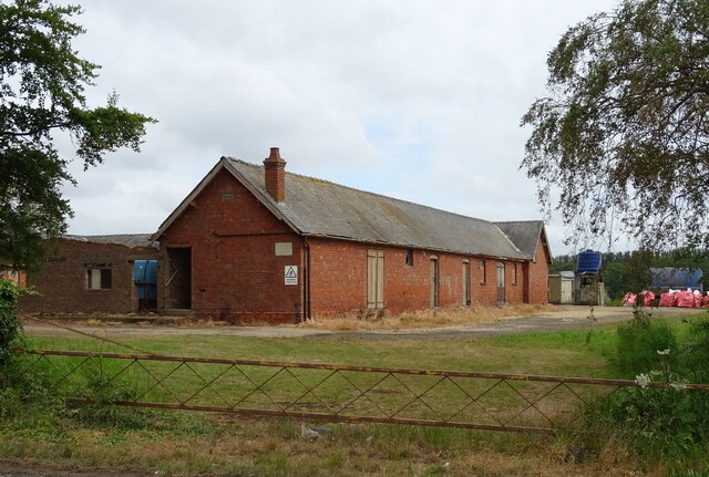
Images are sourced within 2km of 53.200435/0.073192 or Grid Reference TF3869. Thanks to Geograph Open Source API. All images are credited.

River Lymn NW of Partney Bridge: aerial 2016 Extends into <a href="https://www.geograph.org.uk/gridref/TF3968">TF3968</a>.
River Lymn NW of Partney Bridge: aerial 2016
Extends into TF3968.
River Lymn NW of Partney Bridge: aerial 2016 Extends into <a href="https://www.geograph.org.uk/gridref/TF3968">TF3968</a> and <a href="https://www.geograph.org.uk/gridref/TF4067">TF4067</a>.
River Lymn NW of Partney Bridge: aerial 2016
Extends into TF3968 and TF4067.
River Lymn from Partney to Sausthorpe: aerial 2016
Sausthorpe: aerial 2016
Partney Farm On the A158.
Partney Farm
On the A158.
Cereal crop off the A158 near Partney Farm
Sausthorpe Road (A158) Towards Sausthorpe.
Sausthorpe Road (A158)
Towards Sausthorpe.
Newly planted crop off Partney Road (A158)
Partney Road (A158) Towards Sausthorpe.
Partney Road (A158)
Towards Sausthorpe.
Cereal crop towards Elder's Holt woodland Off Partney Road (A158).
Cereal crop towards Elder's Holt woodland
Off Partney Road (A158).
Entering Sausthorpe On Partney Road (A158).
Entering Sausthorpe
On Partney Road (A158).
The Old Hall, Sausthorpe
The Church of St Andrew, Sausthorpe  View from the A158.
The Church of St Andrew, Sausthorpe
View from the A158.
The Church of St Andrew, Sausthorpe
Crossroads on Partney Road (A158), Sausthorpe
Maize crop towards woodland, near Sausthorpe Off the A158.
Maize crop towards woodland, near Sausthorpe
Off the A158.
Partney Road (A158) Towards Hagworthingham.
Partney Road (A158)
Towards Hagworthingham.
Cereal crop off Partney Road (A158)
Show me another place!

Sausthorpe is located at Grid Ref: TF3869 (Lat: 53.200435, Lng: 0.073192)

Administrative County: Lincolnshire

District: East Lindsey

Police Authority: Lincolnshire

What 3 Words

///path.shark.baseless. Near Spilsby, Lincolnshire

Related Wikis

Sausthorpe

Sausthorpe is a small village and civil parish in the East Lindsey district of Lincolnshire, England, 8 miles (13 km) east of Horncastle and 3 miles (4...

Langton by Spilsby

Langton by Spilsby, sometimes called Langton by Partney, is a village and civil parish in the East Lindsey district of Lincolnshire, England. It is situated...

Aswardby

Aswardby (pronounced "as-ard-bee") is a village situated 4 miles (6 km) north-west from Spilsby, in the East Lindsey district of Lincolnshire, England...

Raithby by Spilsby

Raithby by Spilsby or Raithby is a village and civil parish in the East Lindsey district of Lincolnshire, England. It is situated about 2 miles (3.2 km...

Nearby Amenities

Located within 500m of 53.200435,0.073192
Sausthorpe
Is In: Lincolnshire, England, UK
Place: hamlet
Source: Bing
Lat/Long: 53.2007653/0.0697041
St Andrews Church
Naptan AtcoCode: 270000014526
Naptan Bearing: SE
Naptan BusStopType: CUS
Naptan CommonName: St Andrews Church
Naptan Indicator: opp
Naptan Landmark: St Andrews Church
Naptan NaptanCode: linjpwda
Naptan Street: Partney Road
Naptan Verified: no
Source: naptan_import
Lat/Long: 53.2012194/0.0684659
St Andrews Church
Naptan AtcoCode: 270000014527
Naptan Bearing: NW
Naptan BusStopType: CUS
Naptan CommonName: St Andrews Church
Naptan Indicator: adj
Naptan Landmark: St Andrews Church
Naptan NaptanCode: linjpwdg
Naptan Street: Partney Road
Naptan Verified: no
Source: naptan_import
Lat/Long: 53.2011316/0.068331
Bus Stop
Sausthorpe Hall
Naptan AtcoCode: 270002700342
Naptan Bearing: N
Naptan CommonName: Sausthorpe Hall
Naptan Indicator: opp
Naptan Landmark: Hall
Naptan Street: Sausthorpe
Naptan Verified: no
Source: naptan_import
Lat/Long: 53.2028693/0.068201
Bus Stop
Sausthorpe Hall
Naptan AtcoCode: 2700LS001592
Naptan Bearing: S
Naptan CommonName: Sausthorpe Hall
Naptan Indicator: adj
Naptan Landmark: Hall
Naptan NaptanCode: linamdjp
Naptan Street: Sausthorpe
Naptan Verified: no
Source: naptan_import
Lat/Long: 53.2028487/0.0683498
Grange Farm
Alt Name: The Grange
Place: farm
Source: Bing
Lat/Long: 53.1987113/0.0710332
The Middle Yard
Place: farm
Source: Bing
Lat/Long: 53.2045184/0.0722313
The Roundhouse Yard
Place: farm
Source: Bing
Lat/Long: 53.2035478/0.0716623
The data included in this document is from www.openstreetmap.org. The data is made available under ODbL.

Have you been to Sausthorpe?

Leave your review of Sausthorpe below (or comments, questions and feedback).