Elder's Holt
Wood, Forest in Lincolnshire East Lindsey
England
Elder's Holt
Elder's Holt is a picturesque village located in the county of Lincolnshire, England. Situated amidst a dense woodland, it is often referred to as the "Wood" or "Forest" of Lincolnshire. The village is known for its natural beauty and tranquil surroundings, making it a popular destination for nature lovers and those seeking a peaceful retreat.
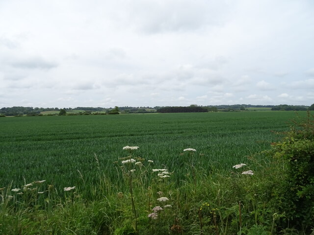
The woodlands surrounding Elder's Holt are rich in biodiversity, with a wide variety of tree species, including oak, beech, and birch. This has led to an abundance of wildlife, creating a haven for birdwatchers and wildlife enthusiasts. The village is also home to several nature trails, providing opportunities for hiking and exploring the woodlands.
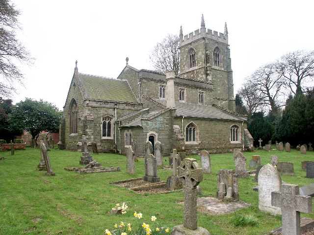
Elder's Holt itself is a small and close-knit community, characterized by its charming cottages and friendly residents. The village has a long history, dating back to medieval times, and is filled with historic landmarks, such as the ancient St. Mary's Church. The church is known for its beautiful stained glass windows and striking architecture, attracting visitors from far and wide.
Despite its rural setting, Elder's Holt is well-connected to neighboring towns and cities, with good transport links by road and rail. This allows residents to enjoy the tranquility of village life while still having access to modern amenities and services.
In summary, Elder's Holt, Lincolnshire (Wood, Forest) is a captivating village nestled in a woodland setting. With its natural beauty, rich history, and friendly community, it offers a unique and idyllic living experience for residents and a delightful retreat for visitors.
If you have any feedback on the listing, please let us know in the comments section below.
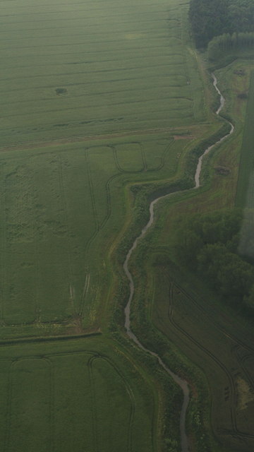
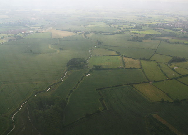
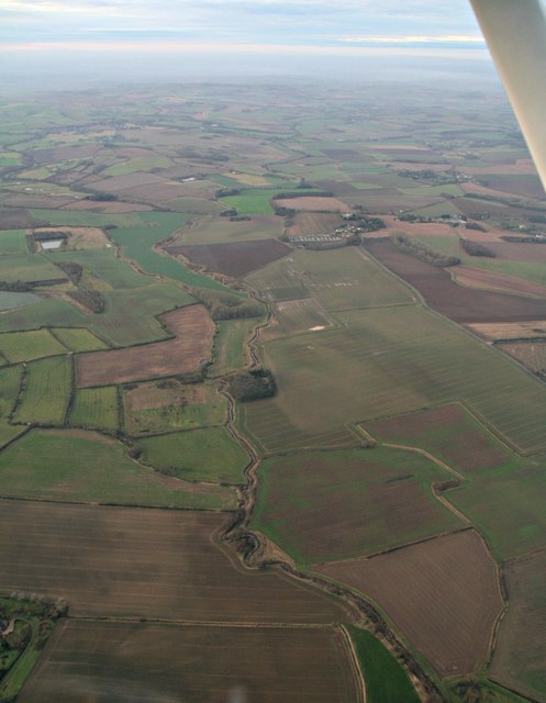
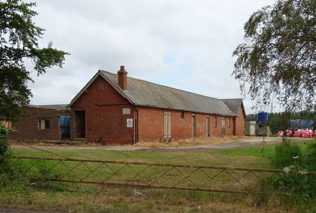
Elder's Holt Images
Images are sourced within 2km of 53.200061/0.075638259 or Grid Reference TF3869. Thanks to Geograph Open Source API. All images are credited.


Elder's Holt is located at Grid Ref: TF3869 (Lat: 53.200061, Lng: 0.075638259)
Administrative County: Lincolnshire
District: East Lindsey
Police Authority: Lincolnshire
What 3 Words
///length.case.digests. Near Spilsby, Lincolnshire
Nearby Locations
Related Wikis

Sausthorpe
Sausthorpe is a small village and civil parish in the East Lindsey district of Lincolnshire, England, 8 miles (13 km) east of Horncastle and 3 miles (4...

Langton by Spilsby
Langton by Spilsby, sometimes called Langton by Partney, is a village and civil parish in the East Lindsey district of Lincolnshire, England. It is situated...

Aswardby
Aswardby (pronounced "as-ard-bee") is a village situated 4 miles (6 km) north-west from Spilsby, in the East Lindsey district of Lincolnshire, England...

Dalby, Lincolnshire
Dalby is a village and civil parish in the East Lindsey district of Lincolnshire, England. It is situated approximately 3 miles (5 km) north from the town...

Raithby by Spilsby
Raithby by Spilsby or Raithby is a village and civil parish in the East Lindsey district of Lincolnshire, England. It is situated about 2 miles (3.2 km...

Partney
Partney is a small village and civil parish in the East Lindsey district of Lincolnshire, England. It is situated 3 miles (4.8 km) north of Spilsby, and...

Chapel at Raithby Hall
The small Methodist chapel at Raithby Hall in Raithby by Spilsby is the oldest Methodist chapel in Lincolnshire, and one of the oldest in England. It is...
Hundleby
Hundleby is a village and civil parish in the East Lindsey district of Lincolnshire, England. The village is a suburb of the market town of Spilsby.Hundleby...
Nearby Amenities
Located within 500m of 53.200061,0.075638259Have you been to Elder's Holt?
Leave your review of Elder's Holt below (or comments, questions and feedback).