Sandhoe
Civil Parish in Northumberland
England
Sandhoe
Sandhoe is a civil parish located in the county of Northumberland in England. It is situated in the Tyne Valley, approximately 8 miles west of the market town of Hexham. The parish covers an area of around 6 square miles and is home to a small population of around 150 residents.
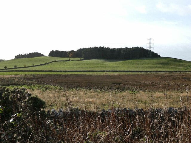
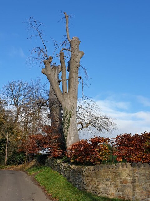
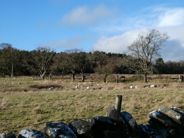
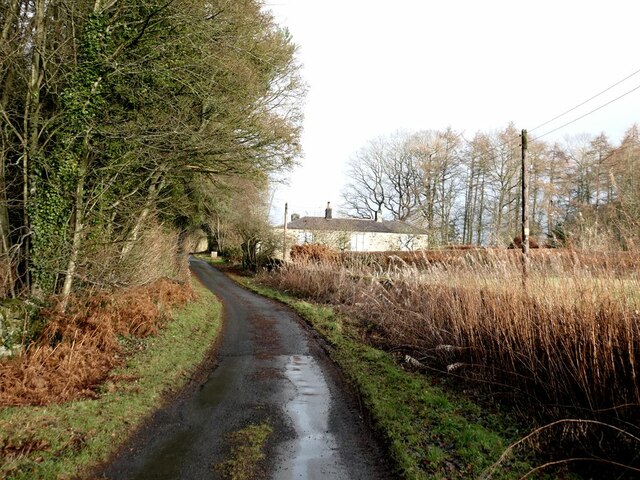
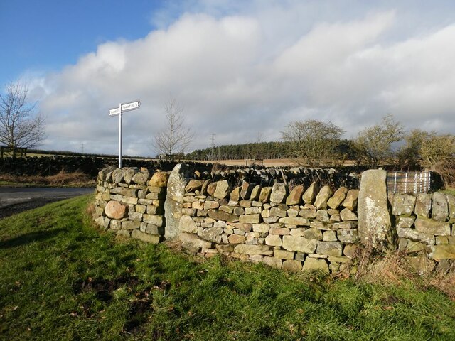
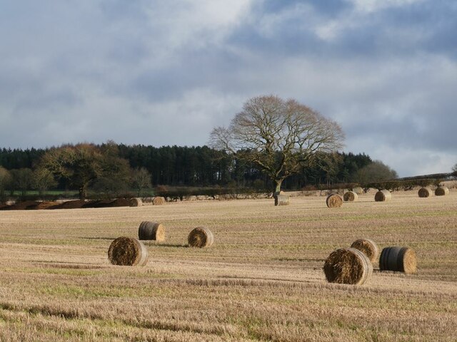
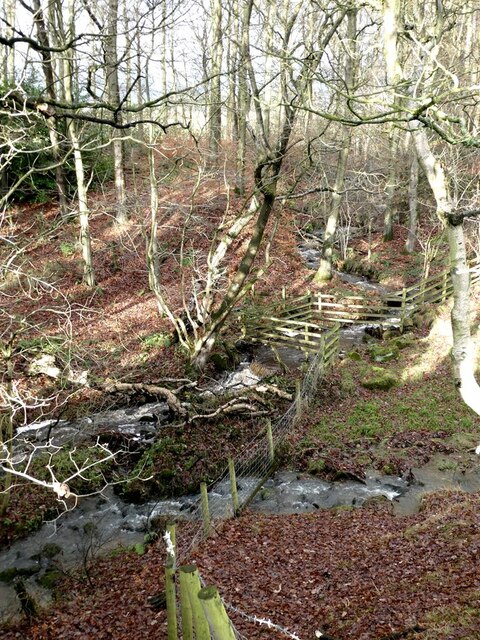
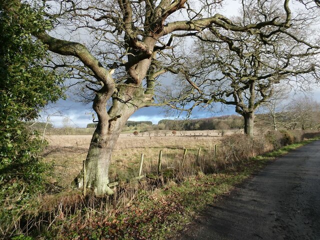
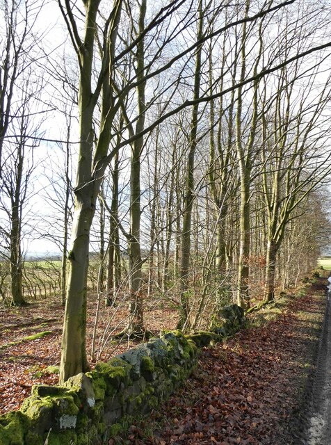
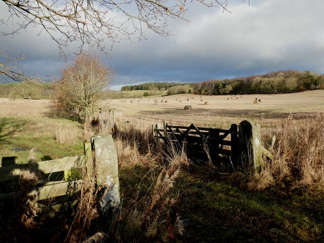
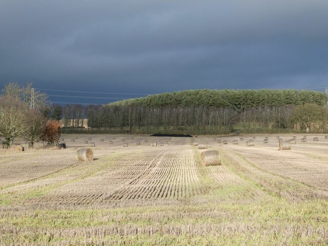
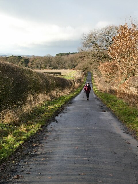
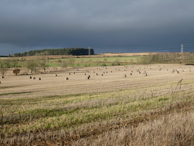
The landscape of Sandhoe is predominantly rural, characterized by rolling hills, farmland, and wooded areas. The area is known for its picturesque scenery and offers stunning views of the surrounding countryside. The River Tyne flows nearby, adding to the natural beauty of the parish.
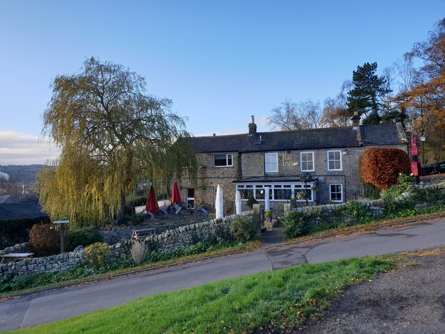
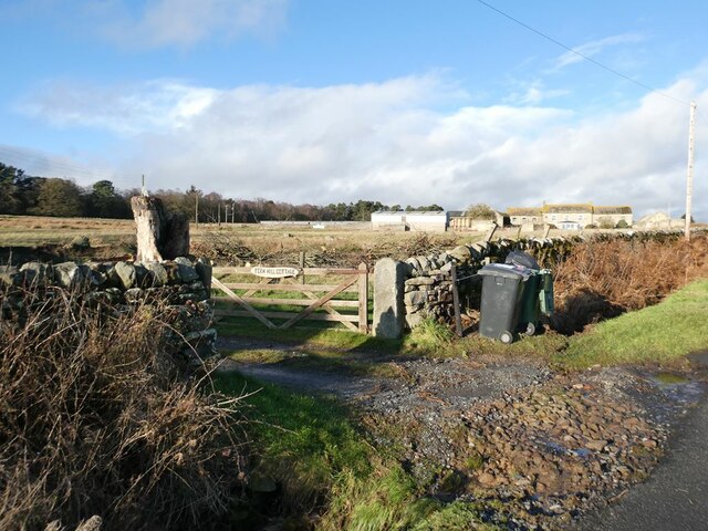
The village of Sandhoe itself is a charming and peaceful settlement, with a close-knit community. It features a mix of traditional stone-built houses and more modern properties. The village has a local church, St. Mary’s, which is a prominent landmark in the area.
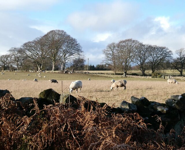
Agriculture plays a significant role in the economy of Sandhoe, with many residents engaged in farming and related industries. The parish is known for its fertile soil, which supports a variety of crops and livestock.
Sandhoe is also well-connected to nearby towns and cities. The A69 road runs through the parish, providing easy access to Hexham and Newcastle-upon-Tyne. The region is popular with tourists, who visit to explore the countryside, partake in outdoor activities such as hiking and fishing, or simply enjoy the tranquility of rural Northumberland.
Overall, Sandhoe offers a peaceful and idyllic setting, with its rural charm and stunning natural surroundings making it a desirable place to live or visit.
If you have any feedback on the listing, please let us know in the comments section below.
Sandhoe Images
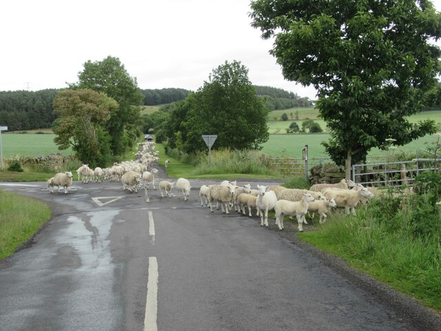
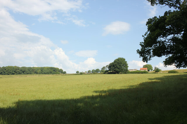
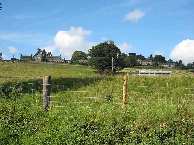
Images are sourced within 2km of 54.991199/-2.055684 or Grid Reference NY9666. Thanks to Geograph Open Source API. All images are credited.
Sandhoe is located at Grid Ref: NY9666 (Lat: 54.991199, Lng: -2.055684)
Unitary Authority: Northumberland
Police Authority: Northumbria
What 3 Words
///infinite.luckier.hawks. Near Corbridge, Northumberland
Nearby Locations
Related Wikis
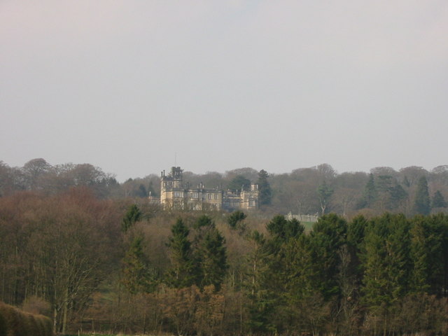
Beaufront Castle
Beaufront Castle is a privately owned 19th-century country house near Hexham, Northumberland, England. It is a Grade I listed building.A pele tower was...

Sandhoe Hall
Sandhoe Hall, also once known as Sandhoe House, is a 19th-century country house situated at Sandhoe, Northumberland. It is a Grade II listed building.The...

Sandhoe
Sandhoe is a hamlet and civil parish in Northumberland, England. It lies about 3 kilometres (2 mi) northwest of Corbridge and 3 kilometres south of Hadrian...
Anick
Anick ( AY-nik) is a village and former civil parish, now in the parish of Sandhoe, in Northumberland, England, situated to the north of Hexham. In 1881...
Nearby Amenities
Located within 500m of 54.991199,-2.055684Have you been to Sandhoe?
Leave your review of Sandhoe below (or comments, questions and feedback).