Sandgate
Civil Parish in Kent Folkestone and Hythe
England
Sandgate

Sandgate is a civil parish located on the southeast coast of Kent, England. Situated between Folkestone and Hythe, it occupies a narrow strip of land along the English Channel. The parish covers an area of approximately 1.8 square miles (4.7 square kilometers) and has a population of around 4,500 residents.
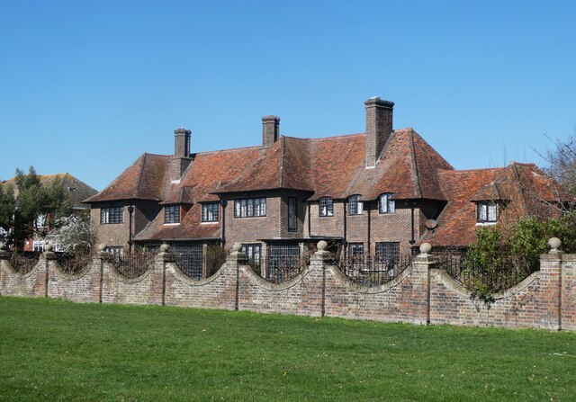
The village of Sandgate has a rich history, with evidence of human settlement dating back to the Roman times. It became a popular seaside resort during the 19th century, attracting visitors with its sandy beach and charming Victorian architecture. Today, it retains much of its historic character, with a mix of well-preserved period buildings and modern amenities.
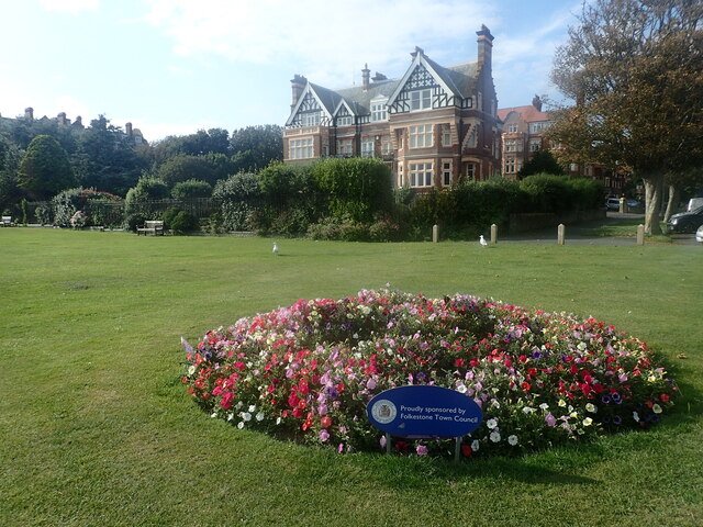
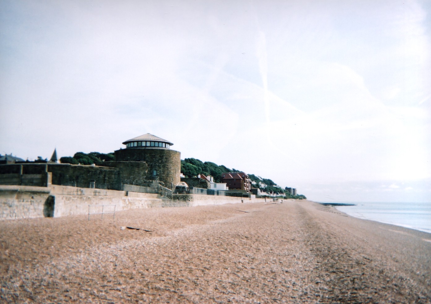
Sandgate is known for its scenic beauty, offering stunning views of the sea and the White Cliffs of Dover. The beach is a popular spot for locals and tourists alike, offering opportunities for swimming, sunbathing, and leisurely walks along the promenade. The village also has several parks and open spaces, providing ample opportunities for outdoor activities and picnics.
In terms of amenities, Sandgate has a range of shops, cafes, and restaurants, offering a variety of goods and cuisines. The village also has a primary school, a library, and a community center, catering to the needs of its residents. Transport links are convenient, with regular bus services connecting Sandgate to nearby towns and cities.
Overall, Sandgate is a picturesque coastal village with a strong sense of community and a rich heritage. It offers a peaceful and idyllic setting for residents and visitors, combining natural beauty with modern amenities.
If you have any feedback on the listing, please let us know in the comments section below.
Sandgate Images
Images are sourced within 2km of 51.076628/1.141014 or Grid Reference TR2035. Thanks to Geograph Open Source API. All images are credited.


Sandgate is located at Grid Ref: TR2035 (Lat: 51.076628, Lng: 1.141014)
Administrative County: Kent
District: Folkestone and Hythe
Police Authority: Kent
What 3 Words
///begun.spurned.steam. Near Folkestone, Kent
Related Wikis

Shorncliffe Lodge
Shorncliffe Lodge in Sandgate, Kent, was a well appointed weekend house that belonged to Edward Albert Sassoon and Aline Caroline de Rothschild. It was...
Sandgate, Kent
Sandgate is a village in the Folkestone and Hythe Urban Area in the Folkestone and Hythe district of Kent, England. It had a population of 4,225 at the...
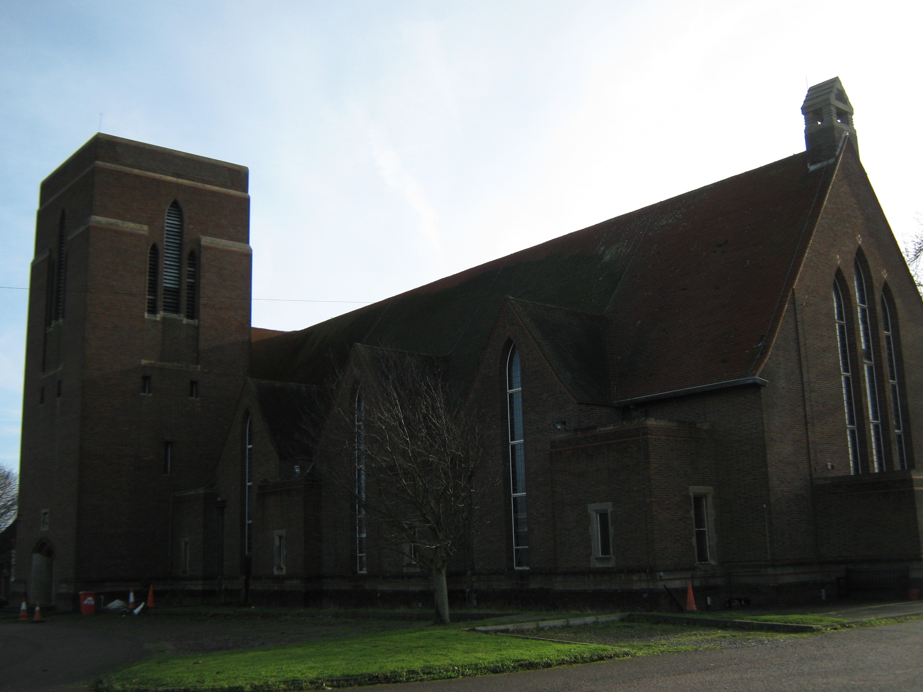
Tower Theatre (Folkestone)
The Tower Theatre is a theatre in Folkestone, Kent that has been converted from the garrison church of Shorncliffe Camp barracks. The venue is owned by...

Folkestone-Hythe Operatic & Dramatic Society
Folkestone-Hythe Operatic & Dramatic Society, FHODS, is a charitable organization that holds performances and events at its theatre in Shorncliffe, the...
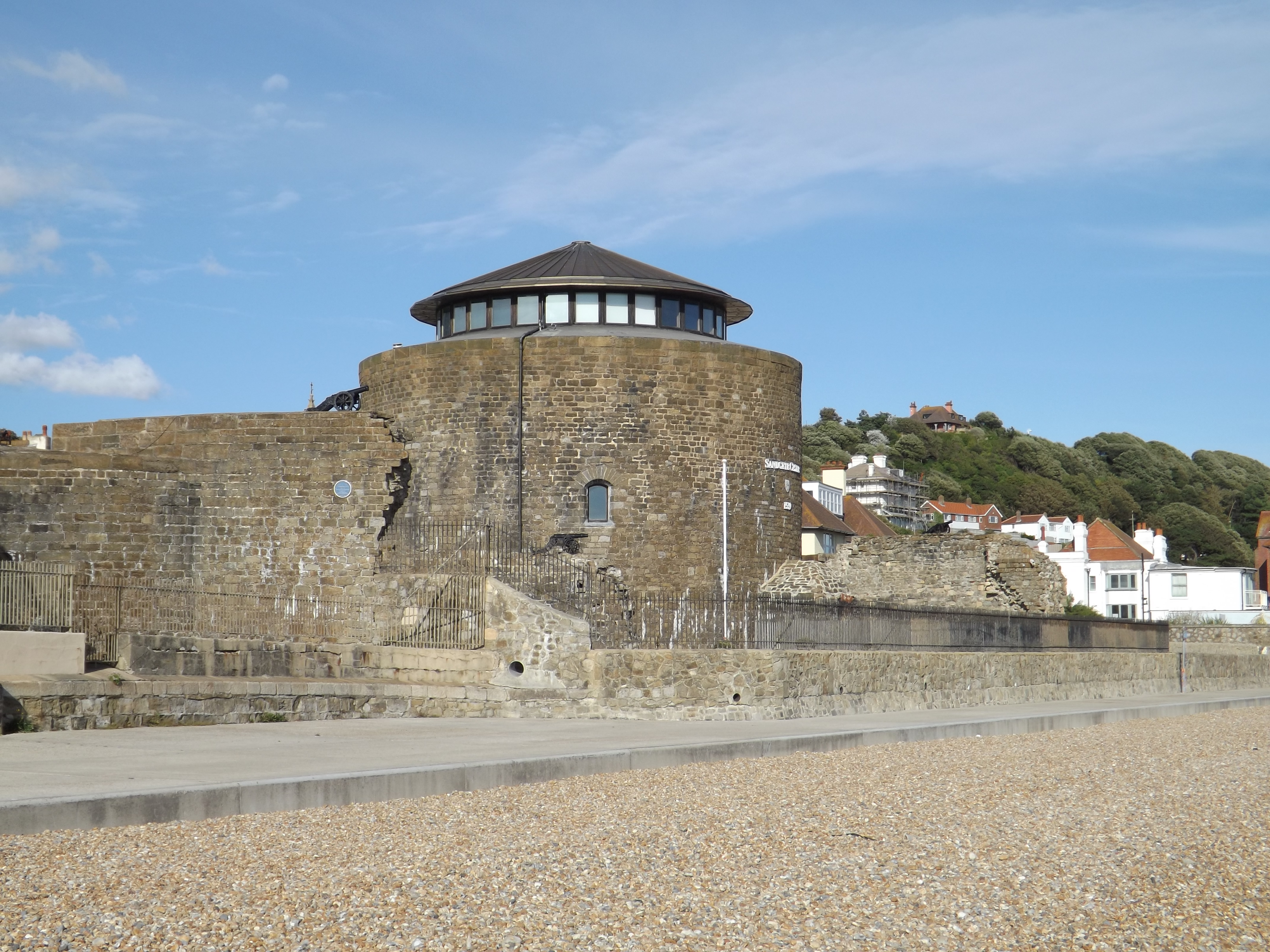
Sandgate Castle
Sandgate Castle is an artillery fort originally constructed by Henry VIII in Sandgate in Kent, between 1539 and 1540. It formed part of the King's Device...
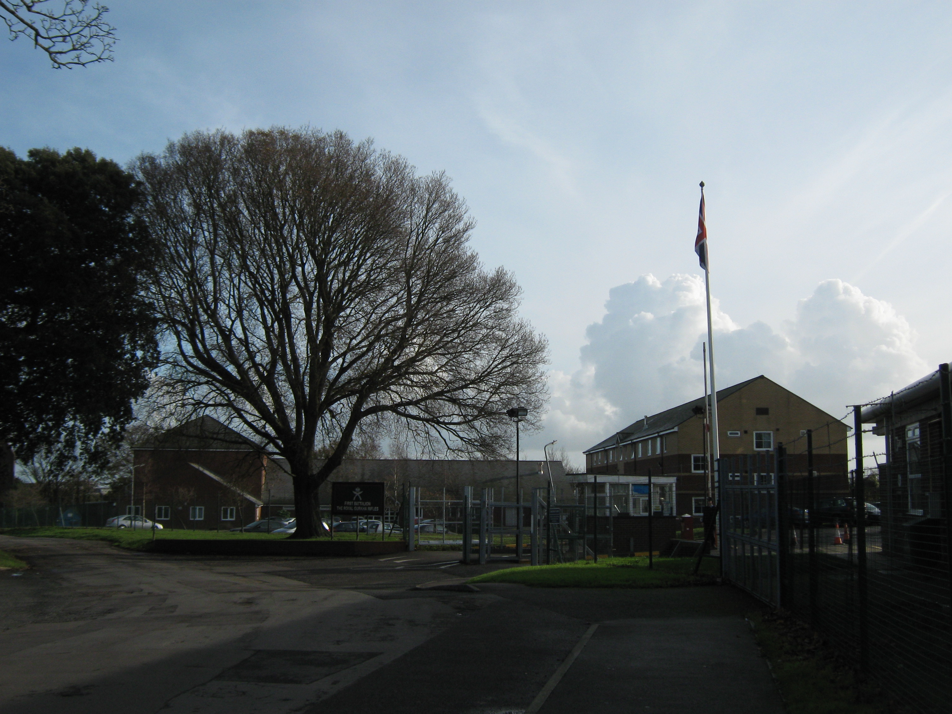
Shorncliffe Army Camp
Shorncliffe Army Camp is a British Army installation near Cheriton in Kent, established in 1794. The camp, described as "the birthplace of the modern British...
Folkestone School for Girls
The Folkestone School for Girls (FSG) is an all-girls grammar school with academy status in Folkestone, Kent, England, next to Sandgate Primary School...
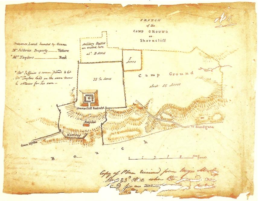
Shorncliffe Redoubt
Shorncliffe Redoubt is a British Napoleonic earthwork fort. The site is approximately 300 feet by 300 feet and is situated on the Kentish Coast in Sandgate...
Nearby Amenities
Located within 500m of 51.076628,1.141014Have you been to Sandgate?
Leave your review of Sandgate below (or comments, questions and feedback).