Salfords and Sidlow
Civil Parish in Surrey Reigate and Banstead
England
Salfords and Sidlow

Salfords and Sidlow is a civil parish located in the borough of Reigate and Banstead in Surrey, England. The parish consists of two villages, Salfords and Sidlow, and is situated approximately 2 miles south of Redhill.
Salfords is the larger of the two villages and serves as a residential area with a mix of housing types, including detached houses, semi-detached houses, and some apartment complexes. The village has a range of amenities, including a local primary school, a post office, a convenience store, and several pubs and restaurants. There is also a train station in Salfords, providing easy access to London and other nearby towns.
Sidlow, on the other hand, is a smaller village located to the east of Salfords. It is predominantly a rural area with a few scattered residential properties. Sidlow is known for its picturesque countryside, with rolling hills and open fields providing a peaceful and tranquil environment.
Both villages benefit from their proximity to the M23 motorway, which provides excellent transport links to London, Gatwick Airport, and other major cities. The larger town of Redhill is only a short drive away and offers a wider range of amenities, including shopping centers, leisure facilities, and a train station with direct services to London and the South Coast.
Overall, Salfords and Sidlow offer a mix of residential and rural living, with good transportation links and a range of local amenities, making it an attractive place to live for both families and commuters.
If you have any feedback on the listing, please let us know in the comments section below.
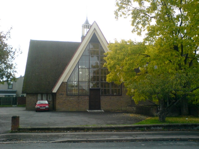
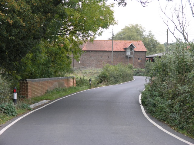
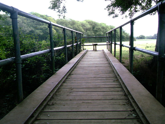
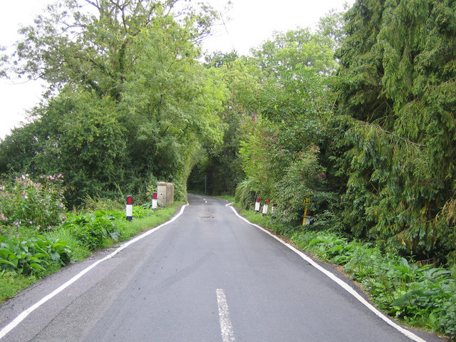
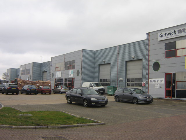
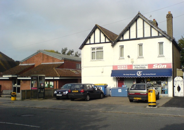
Salfords and Sidlow Images
Images are sourced within 2km of 51.198956/-0.163268 or Grid Reference TQ2846. Thanks to Geograph Open Source API. All images are credited.


Salfords and Sidlow is located at Grid Ref: TQ2846 (Lat: 51.198956, Lng: -0.163268)
Administrative County: Surrey
District: Reigate and Banstead
Police Authority: Surrey
What 3 Words
///wheels.decay.cities. Near Salfords, Surrey
Nearby Locations
Related Wikis
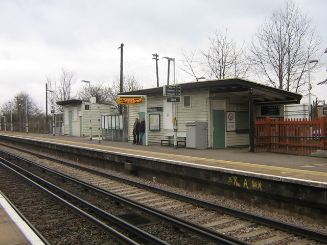
Salfords railway station
Salfords railway station serves the village of Salfords in Surrey, England. The station is sometimes shown as Salfords (Surrey) in timetables to differentiate...
Salfords
Salfords SAL-fudz) is a village in the borough of Reigate and Banstead in Surrey, England. It lies approximately 3 miles (4.8 km) south of Redhill on...

Salfords and Sidlow
Salfords and Sidlow is a civil parish in the Reigate and Banstead borough of Surrey, England. It has a population of 3,069. The parish includes the villages...
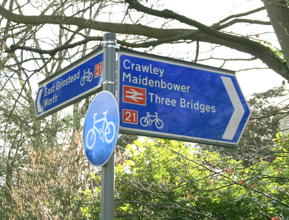
National Cycle Route 21
National Cycle Route 21 (or NCR 21) is part of the United Kingdom's National Cycle Network. It runs from Greenwich in South-East London south to Crawley...
Nearby Amenities
Located within 500m of 51.198956,-0.163268Have you been to Salfords and Sidlow?
Leave your review of Salfords and Sidlow below (or comments, questions and feedback).