Salford Priors
Civil Parish in Warwickshire Stratford-on-Avon
England
Salford Priors

Salford Priors is a civil parish located in the county of Warwickshire, England. It is situated approximately 10 miles south-west of Stratford-upon-Avon and 17 miles east of Worcester. The parish covers an area of around 1,200 hectares and is home to a population of approximately 1,600 people.
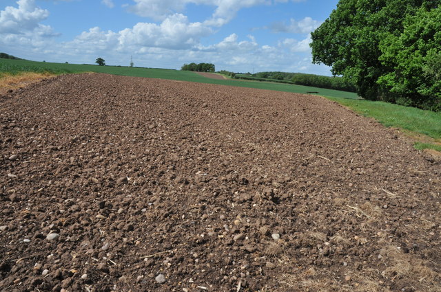
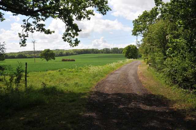
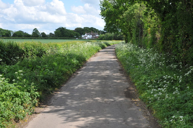
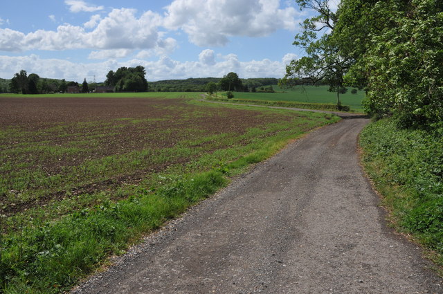
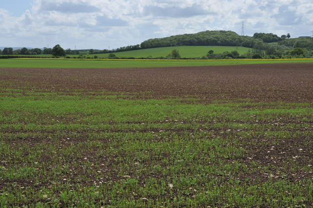
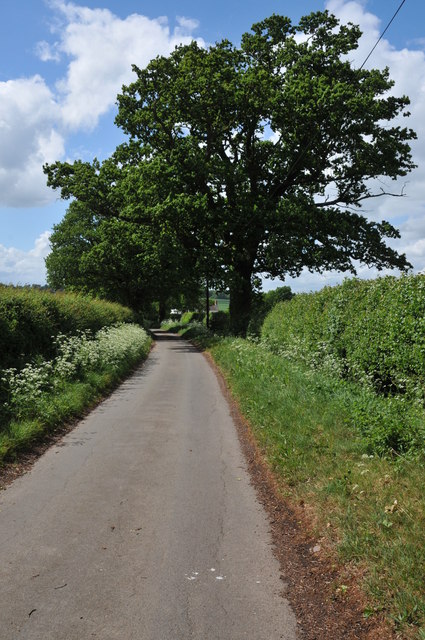
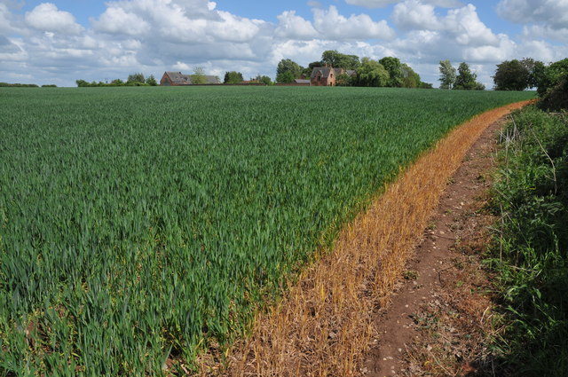
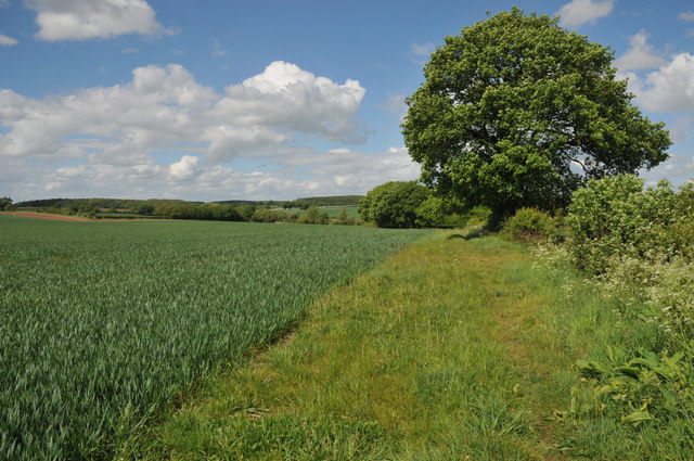
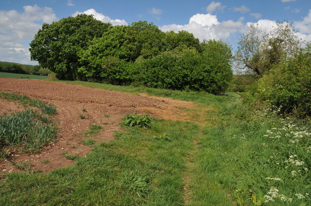
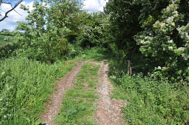
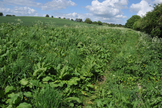
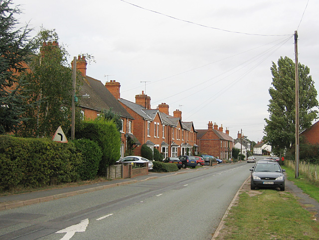
The village of Salford Priors itself is a charming rural settlement with a rich history dating back to the Middle Ages. It is known for its picturesque countryside, including the River Avon which flows through the parish. The village is surrounded by beautiful rolling hills and farmland, offering stunning views and plenty of opportunities for outdoor activities such as walking, cycling, and fishing.
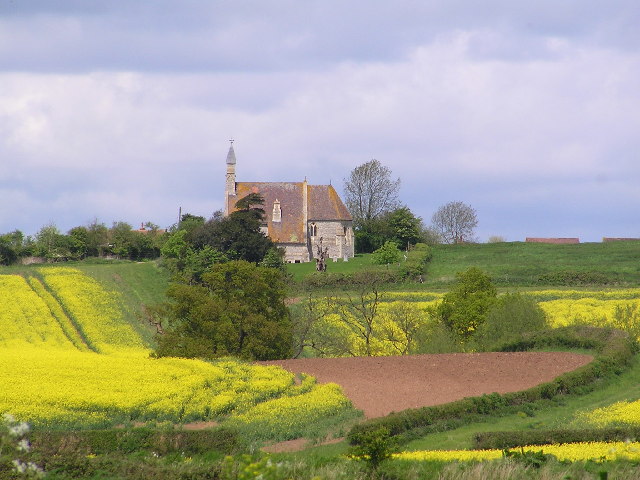
Salford Priors has a close-knit community and offers a range of amenities to its residents. These include a primary school, a village hall, a post office, a convenience store, and a pub. The village also has a historic church, St. Matthew's, which dates back to the 12th century and is a focal point for the community.
The parish is well-connected to nearby towns and cities via road and public transport. The A46 road runs through the parish, providing easy access to Stratford-upon-Avon, Evesham, and Worcester. The nearest railway station is located in nearby Honeybourne, offering regular services to Birmingham and London.
In summary, Salford Priors is a picturesque rural parish in Warwickshire, offering a peaceful and idyllic lifestyle for its residents. With its stunning countryside, rich history, and range of amenities, it is a popular place to live for those seeking a quintessential English village experience.
If you have any feedback on the listing, please let us know in the comments section below.
Salford Priors Images
Images are sourced within 2km of 52.167824/-1.910004 or Grid Reference SP0652. Thanks to Geograph Open Source API. All images are credited.


Salford Priors is located at Grid Ref: SP0652 (Lat: 52.167824, Lng: -1.910004)
Administrative County: Warwickshire
District: Stratford-on-Avon
Police Authority: Warwickshire
What 3 Words
///parsnip.hers.chitchat. Near Harvington, Worcestershire
Nearby Locations
Related Wikis
Weethley
Weethley is a village and former civil parish on the B4088 road, now in the parish of Arrow with Weethley, in the Stratford-on-Avon district, in the county...
Salford Priors
Salford Priors is a rural, agricultural village and civil parish about four miles south-west of Alcester, Warwickshire, England. The population of the...
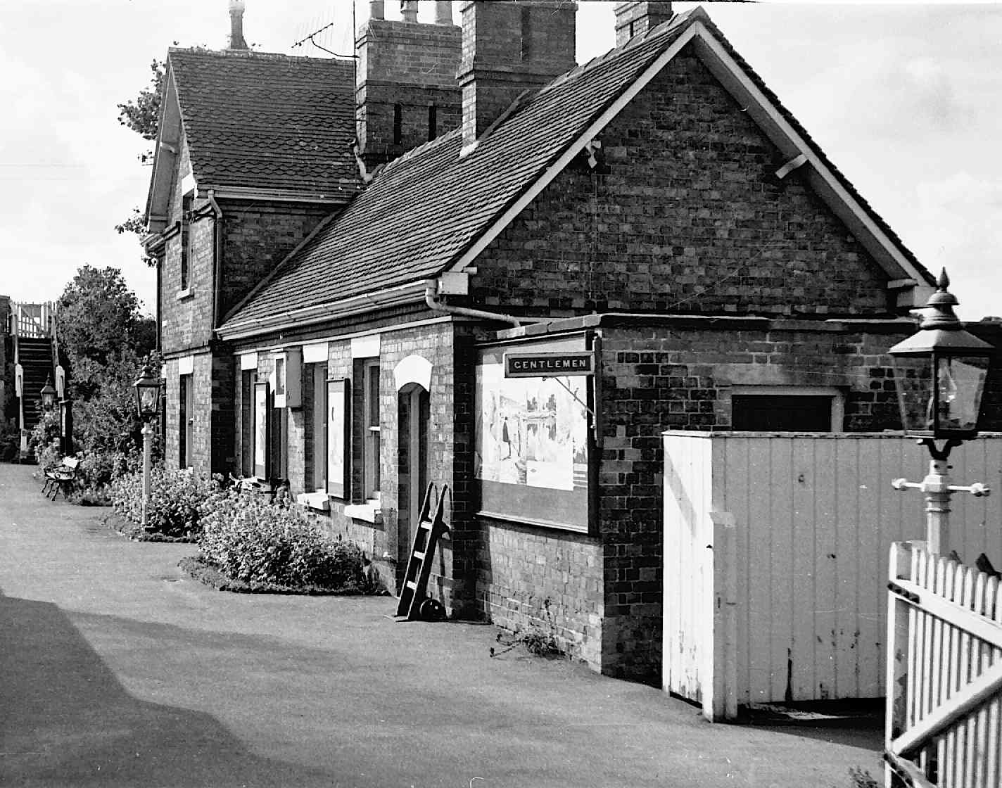
Salford Priors railway station
Salford Priors railway station was a railway station located in the village of Salford Priors, Warwickshire, England. Opened on 16 June 1866 (17 September...

Abbot's Salford
Abbot's Salford is the name of a village in the English county of Warwickshire. It is found six miles south of Alcester, about the same distance from Evesham...
Nearby Amenities
Located within 500m of 52.167824,-1.910004Have you been to Salford Priors?
Leave your review of Salford Priors below (or comments, questions and feedback).