Salfords
Settlement in Surrey Reigate and Banstead
England
Salfords

Salfords is a small village located in the county of Surrey, England. Situated approximately 20 miles south of London, it falls within the borough of Reigate and Banstead. With a population of around 3,800 residents, Salfords is a close-knit community that offers a peaceful and picturesque environment for its inhabitants.
The village is well-connected, being bordered by the M23 motorway to the west and the A23 road to the east. This accessibility makes it an attractive place for commuters, with regular train services operating from Salfords railway station to London, Brighton, and Gatwick Airport.
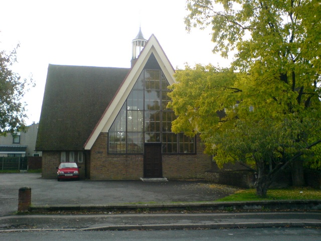
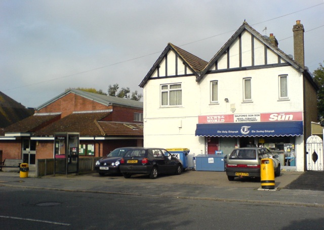
Salfords boasts a range of amenities to cater to the needs of its residents. The village has a primary school, St. Matthew's Church, a community hall, and several local shops and businesses. For recreational activities, there are several green spaces and parks, including the nearby Salfords Meadow, which offers a peaceful spot for leisurely walks or picnics.
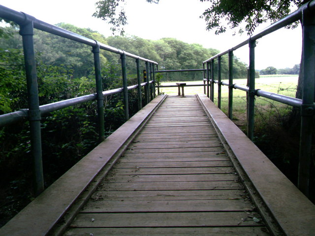
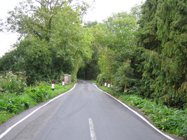
The village's location also grants residents easy access to a variety of attractions and amenities in the surrounding area. Reigate town center is just a short distance away, providing a wider range of shopping, dining, and entertainment options. The area is also known for its beautiful countryside, with the Surrey Hills Area of Outstanding Natural Beauty nearby, offering stunning landscapes and opportunities for outdoor activities such as hiking and cycling.
Overall, Salfords presents a charming and convenient place to live, with its peaceful atmosphere, excellent transport links, and access to nearby amenities and attractions.
If you have any feedback on the listing, please let us know in the comments section below.
Salfords Images
Images are sourced within 2km of 51.19931/-0.160033 or Grid Reference TQ2846. Thanks to Geograph Open Source API. All images are credited.


Salfords is located at Grid Ref: TQ2846 (Lat: 51.19931, Lng: -0.160033)
Administrative County: Surrey
District: Reigate and Banstead
Police Authority: Surrey
What 3 Words
///sobs.rail.gold. Near Salfords, Surrey
Nearby Locations
Related Wikis
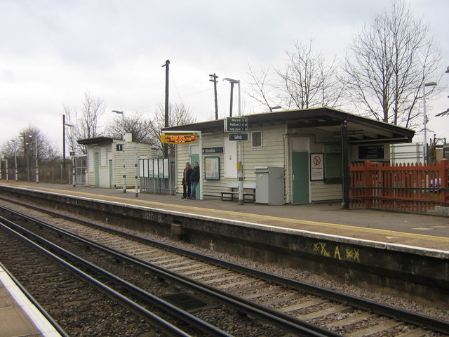
Salfords railway station
Salfords railway station serves the village of Salfords in Surrey, England. The station is sometimes shown as Salfords (Surrey) in timetables to differentiate...
Salfords
Salfords SAL-fudz) is a village in the borough of Reigate and Banstead in Surrey, England. It lies approximately 3 miles (4.8 km) south of Redhill on...
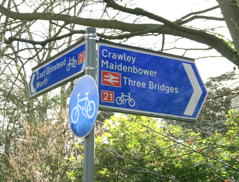
National Cycle Route 21
National Cycle Route 21 (or NCR 21) is part of the United Kingdom's National Cycle Network. It runs from Greenwich in South-East London south to Crawley...

Salfords and Sidlow
Salfords and Sidlow is a civil parish in the Reigate and Banstead borough of Surrey, England. It has a population of 3,069. The parish includes the villages...
Nearby Amenities
Located within 500m of 51.19931,-0.160033Have you been to Salfords?
Leave your review of Salfords below (or comments, questions and feedback).