Reedness
Civil Parish in Yorkshire
England
Reedness
Reedness is a civil parish located in the East Riding of Yorkshire, England. It is situated on the banks of the River Ouse, approximately 23 miles west of the city of Hull. The parish covers an area of about 3.5 square miles and has a population of around 150 people.
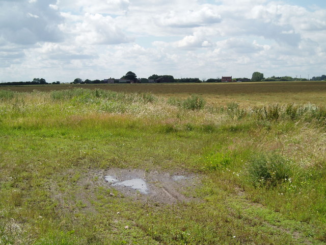
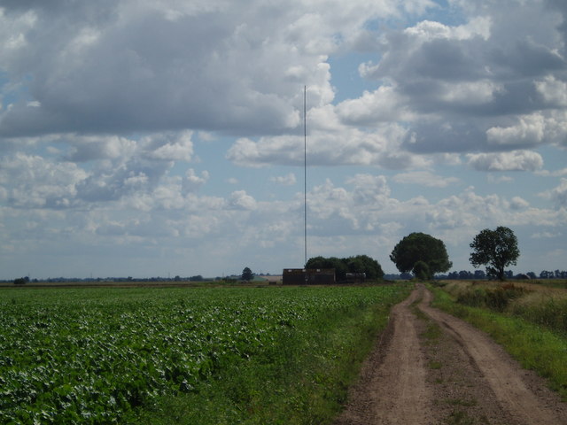
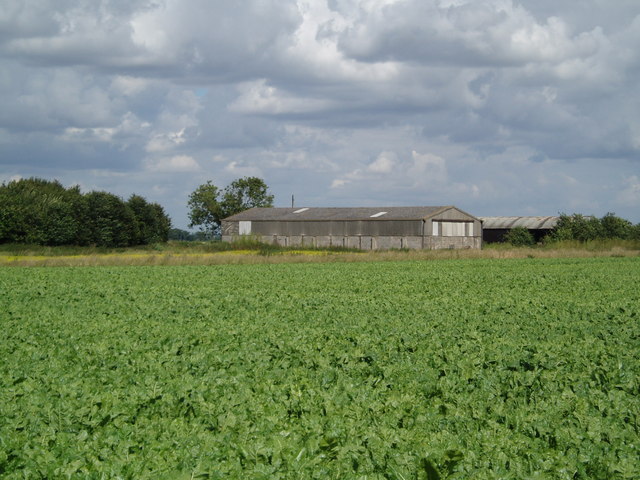
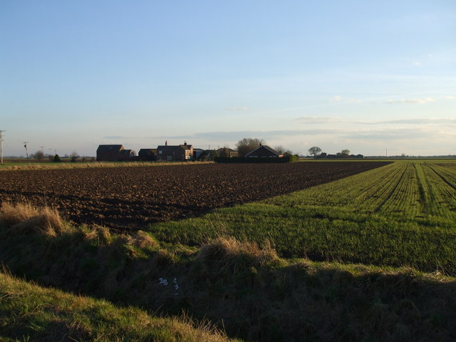
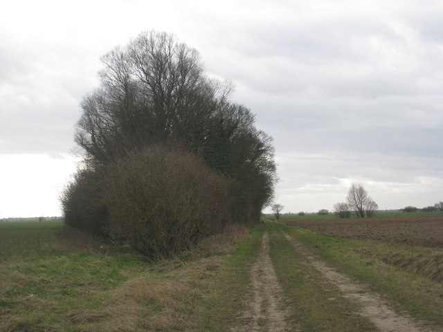
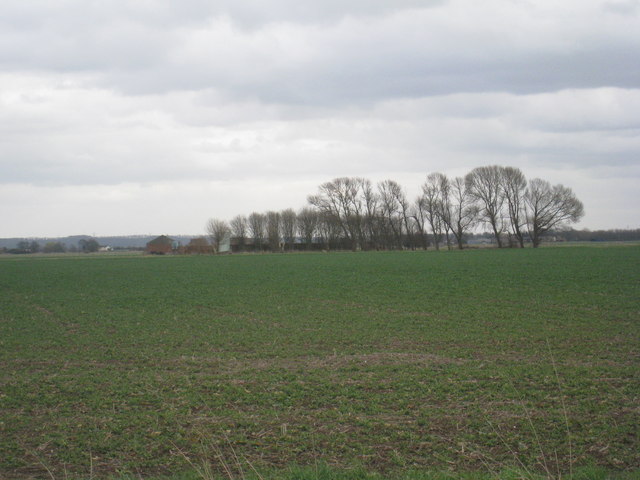
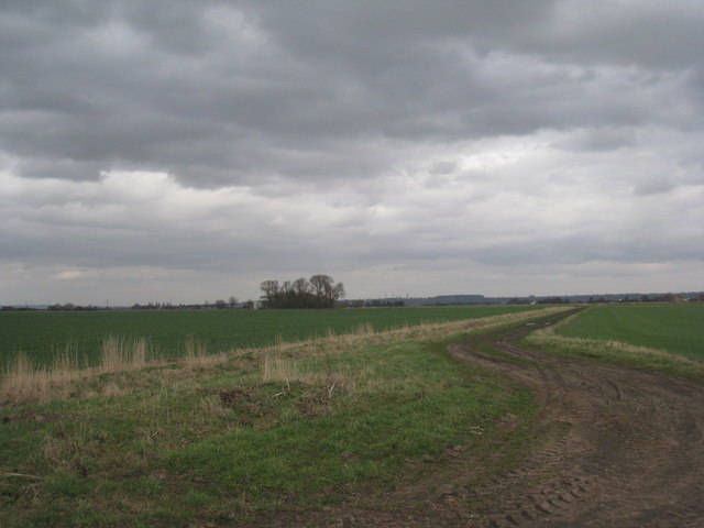
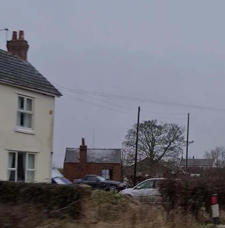
Reedness is a rural village characterized by its picturesque countryside and charming cottages. The area is known for its agricultural heritage, with farming being the primary industry in the parish. The fertile land surrounding the village is used for the cultivation of crops such as wheat, barley, and oilseed rape.
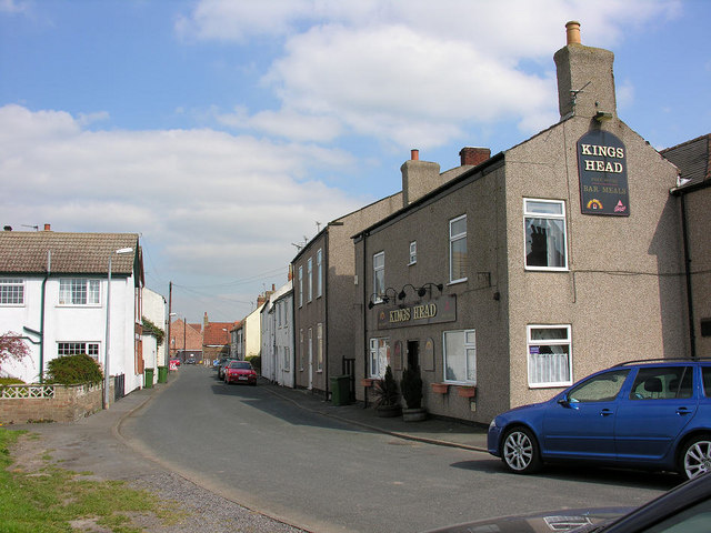
The village itself is small and compact, with a few scattered houses and a historic church called St. Peter's. The church, dating back to the 12th century, is a prominent landmark in the area and attracts visitors interested in its architectural and historical significance.
Despite its small size, Reedness has a close-knit community that organizes various social events throughout the year. The village hall serves as a hub for these activities, providing a venue for gatherings, meetings, and celebrations.
Reedness benefits from its proximity to neighboring towns and cities, such as Goole and Hull, which offer a range of amenities including shops, schools, and healthcare facilities. The village is well-connected to the rest of Yorkshire via road networks, with the A614 running nearby.
Overall, Reedness is a tranquil and picturesque civil parish, offering a peaceful rural lifestyle for its residents while providing easy access to nearby urban centers.
If you have any feedback on the listing, please let us know in the comments section below.
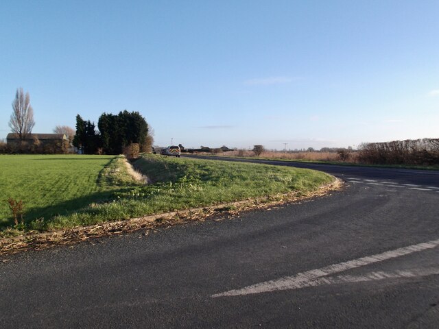
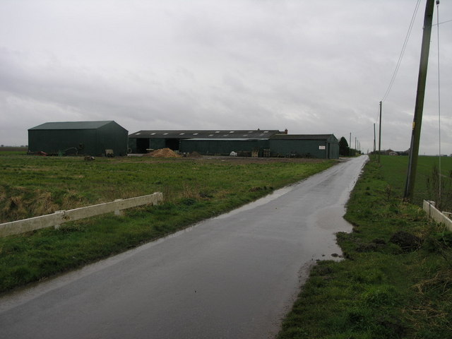
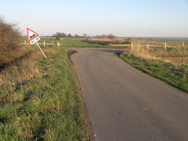
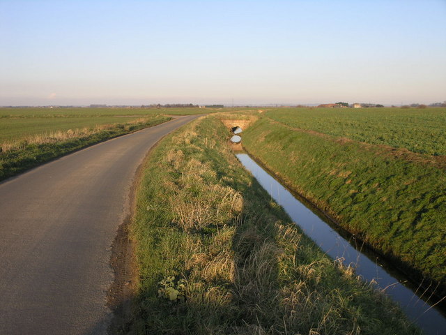
Reedness Images
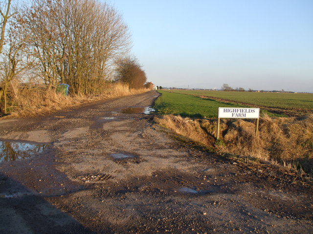
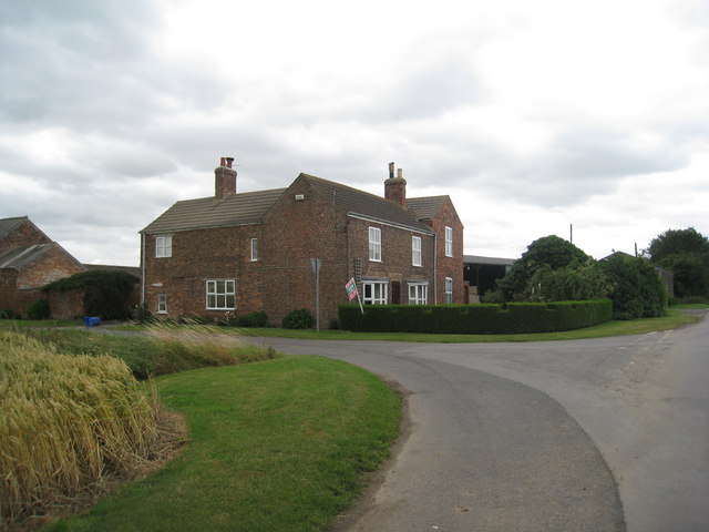
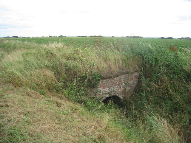
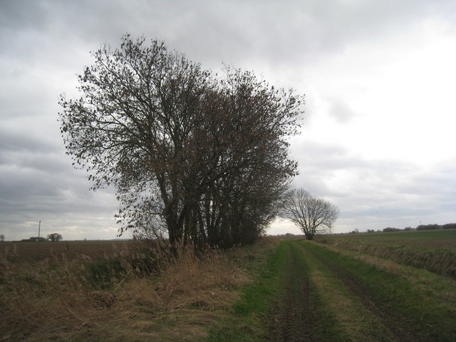
Images are sourced within 2km of 53.673385/-0.808533 or Grid Reference SE7820. Thanks to Geograph Open Source API. All images are credited.


Reedness is located at Grid Ref: SE7820 (Lat: 53.673385, Lng: -0.808533)
Division: West Riding
Unitary Authority: East Riding of Yorkshire
Police Authority: Humberside
What 3 Words
///thudding.takers.grumbling. Near Eastoft, Lincolnshire
Nearby Locations
Related Wikis
Swinefleet
Swinefleet is a village and civil parish in the East Riding of Yorkshire, England. It is situated approximately 2 miles (3.2 km) south-east of the town...

Reedness
Reedness is a village and civil parish in the East Riding of Yorkshire, England. It is situated approximately 3 miles (4.8 km) east of the town of Goole...
Eastoft railway station
Eastoft railway station was a station in Eastoft, Lincolnshire on the Axholme Joint Railway. == History == The station was opened on 10 August 1903 when...

Little Reedness
Little Reedness is a hamlet in the East Riding of Yorkshire, England. It is situated approximately 3.5 miles (6 km) east of the town of Goole and lies...
Nearby Amenities
Located within 500m of 53.673385,-0.808533Have you been to Reedness?
Leave your review of Reedness below (or comments, questions and feedback).