Reedley Hallows

Civil Parish in Lancashire Pendle

England

Reedley Hallows

Footpath towards Heald Bridge This path cuts off a bend in the towpath of the Leeds & Liverpool Canal.
Footpath towards Heald Bridge Credit: Bill Boaden

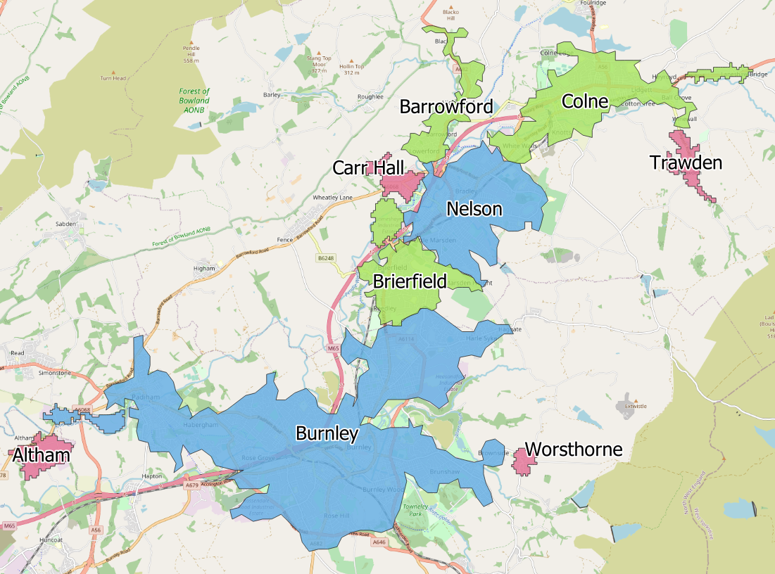
Reedley Hallows is a civil parish located in the county of Lancashire, England. Situated on the southern outskirts of the town of Burnley, it is nestled in the picturesque countryside of the Ribble Valley. The parish covers an area of approximately 3 square miles and has a population of around 1,500 residents.

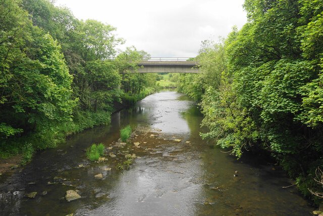
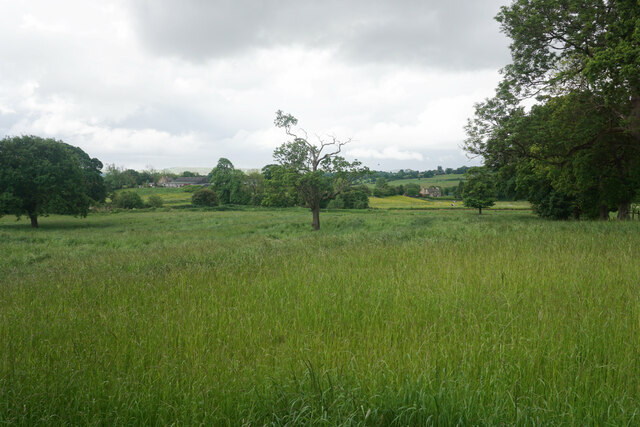
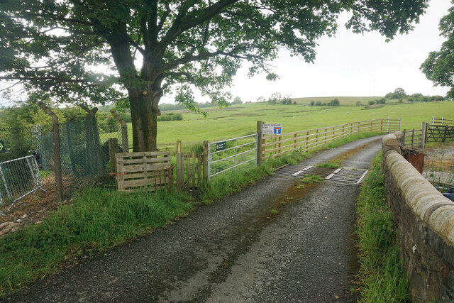
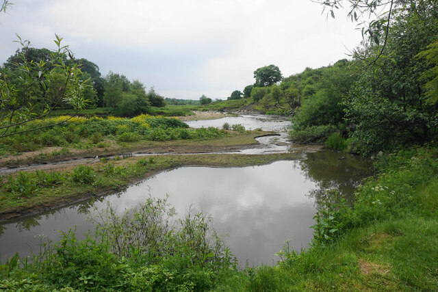
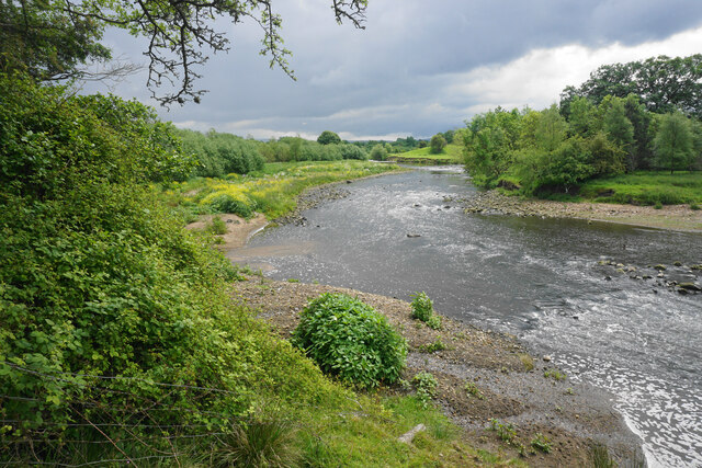
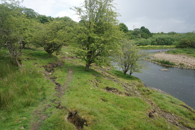
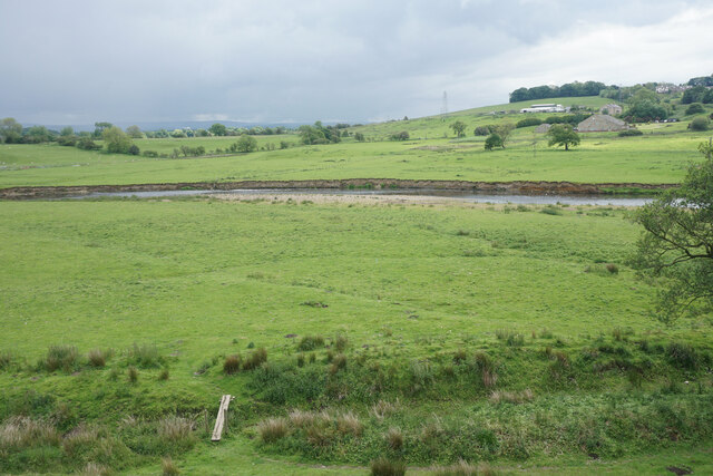
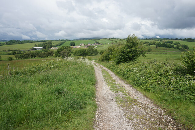
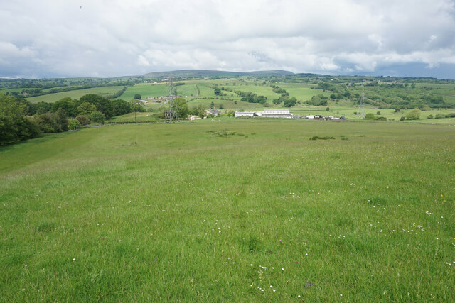
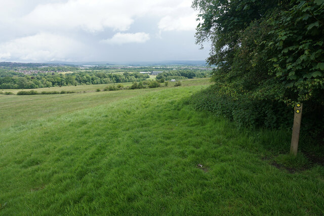
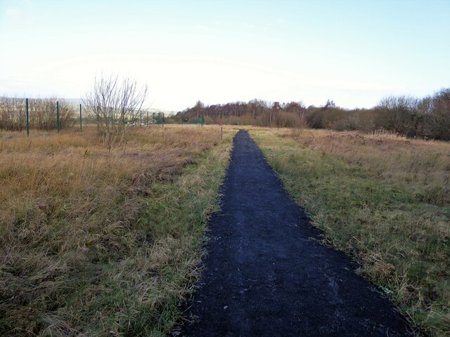
The village of Reedley Hallows is known for its serene and idyllic setting, with rolling hills, meandering rivers, and lush green fields. It is a popular destination for nature enthusiasts and hikers, offering numerous walking trails and scenic viewpoints.

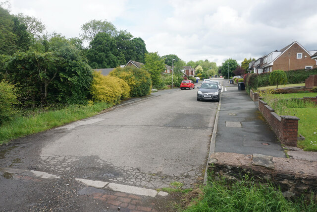
The parish is predominantly residential, with a mix of housing styles ranging from traditional stone cottages to modern developments. The village has a close-knit community feel, with a primary school, village hall, and a local pub serving as social hubs for residents.

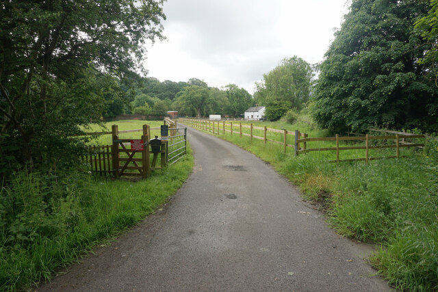
Agriculture has been a significant part of Reedley Hallows' economy for centuries, with a number of farms and agricultural businesses operating in the area. The countryside surrounding the parish is dotted with farmsteads and grazing land, contributing to the rural charm of the village.

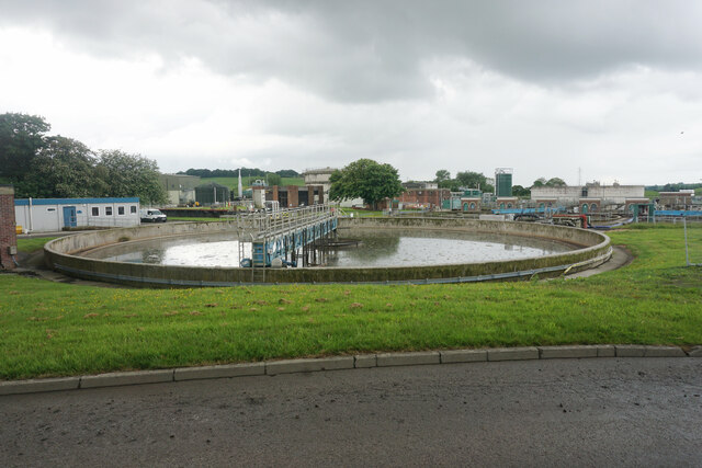
Despite its rural setting, Reedley Hallows benefits from its proximity to Burnley, which offers a range of amenities including shops, supermarkets, and leisure facilities. The village is well-connected to the wider region through road networks, with the M65 motorway providing easy access to nearby cities such as Manchester and Preston.

Overall, Reedley Hallows is a tranquil and picturesque civil parish that offers a peaceful escape from the hustle and bustle of city life, while still providing convenient access to essential amenities and urban centers.

If you have any feedback on the listing, please let us know in the comments section below.

Reedley Hallows Images

Images are sourced within 2km of 53.819161/-2.253788 or Grid Reference SD8335. Thanks to Geograph Open Source API. All images are credited.

Footpath towards Heald Bridge This path cuts off a bend in the towpath of the Leeds & Liverpool Canal.
Footpath towards Heald Bridge
This path cuts off a bend in the towpath of the Leeds & Liverpool Canal.
Lower Manor Lane A pre-existing footpath now passes through this estate.
Lower Manor Lane
A pre-existing footpath now passes through this estate.
Pendle Water by Heald Wood The M65 crosses the bridge. A kingfisher flew into the trees on the right but I was nowhere near quick enough to take a picture of it.
Pendle Water by Heald Wood
The M65 crosses the bridge. A kingfisher flew into the trees on the right but I was nowhere near quick enough to take a picture of it.
Drive to Riversmead Cottage A public footpath also uses this drive but there are several signs stating that it is crossing private land.
Drive to Riversmead Cottage
A public footpath also uses this drive but there are several signs stating that it is crossing private land.
Drainage works off Wood End Road United Utilities are undertaking works involving an extension to the nearby sewage works. The low-lying land is by the confluence of Pendle Water and the River Calder.
Drainage works off Wood End Road
United Utilities are undertaking works involving an extension to the nearby sewage works. The low-lying land is by the confluence of Pendle Water and the River Calder.
Green field by Wood End Road Pendle Water flows past the opposite end of this field. There is a lot of greenery not far from Burnley.
Green field by Wood End Road
Pendle Water flows past the opposite end of this field. There is a lot of greenery not far from Burnley.
Burnley Waste Water Treatment Works Not too smelly at the moment.
Burnley Waste Water Treatment Works
Not too smelly at the moment.
Extension to Burnley Waste Water Treatment Works This increased traffic associated with this development is not popular with local residents.
Extension to Burnley Waste Water Treatment Works
This increased traffic associated with this development is not popular with local residents.
Footpath leaving Wood End Road The gate by which the footpath leaves the road is clear enough, but it is not clear where you go after that. I was following a rudimentary trail which turned out to be quite boggy in places. The road ahead is signed as private though there should still be a public footpath using it.
Footpath leaving Wood End Road
The gate by which the footpath leaves the road is clear enough, but it is not clear where you go after that. I was following a rudimentary trail which turned out to be quite boggy in places. The road ahead is signed as private though there should still be a public footpath using it.
Spurn Clough joining the River Calder A kingfisher flew across the river here but I was too slow to get a picture.
Spurn Clough joining the River Calder
A kingfisher flew across the river here but I was too slow to get a picture.
River Calder Looking upstream by the confluence with Spurn Clough.
River Calder
Looking upstream by the confluence with Spurn Clough.
Potential subsidence on the riverbank There are several cracks in the ground above the River Calder. Both the Pendle Way and Bronte Way pass this way.
Potential subsidence on the riverbank
There are several cracks in the ground above the River Calder. Both the Pendle Way and Bronte Way pass this way.
Farmland by the River Calder Low-lying grazing land subject to flooding from the river.
Farmland by the River Calder
Low-lying grazing land subject to flooding from the river.
Track near Hunters Oak The track is heading down towards the River Calder which flows from right to left in the valley.
Track near Hunters Oak
The track is heading down towards the River Calder which flows from right to left in the valley.
Field above Hunters Oak There is a view northwards across the valley of the River Calder, with Pendle Hill in the background.
Field above Hunters Oak
There is a view northwards across the valley of the River Calder, with Pendle Hill in the background.
Burnley Way near Ightenhill There are views over the Calder valley to the left, and Burnley town centre is just coming into view ahead.
Burnley Way near Ightenhill
There are views over the Calder valley to the left, and Burnley town centre is just coming into view ahead.
Reclaimed industrial land A bridlepath of crushed coal debris across what old OS maps fail to name apart from an engine house. It was served by a branch railway and perhaps was part of a gas production or electricity generation plant?
Reclaimed industrial land
A bridlepath of crushed coal debris across what old OS maps fail to name apart from an engine house. It was served by a branch railway and perhaps was part of a gas production or electricity generation plant?
Meandering Leeds and Liverpool Canal The canal is following the contours and is in a U-bend at this point. The houses are built on the site of Reedley Brickworks run by Burnley Brick & Lime Co.
Meandering Leeds and Liverpool Canal
The canal is following the contours and is in a U-bend at this point. The houses are built on the site of Reedley Brickworks run by Burnley Brick & Lime Co.
Show me another place!

Reedley Hallows is located at Grid Ref: SD8335 (Lat: 53.819161, Lng: -2.253788)

Administrative County: Lancashire

District: Pendle

Police Authority: Lancashire

What 3 Words

///crib.shins.young. Near Brierfield, Lancashire

Nearby Locations

Reedley Hallows Round Wood

Related Wikis

Mee-mawing

Mee-mawing was a form of speech with exaggerated movements to allow lip reading employed by workers in weaving sheds in Lancashire in the nineteenth and...

Brierfield railway station

Brierfield railway station serves the town of Brierfield, Lancashire, England and is on the East Lancashire Line 2+1⁄4 miles (3.6 km) east of Burnley Central...

Reedley Hallows

Reedley Hallows or Reedley is a civil parish in the Borough of Pendle in Lancashire, England. It forms part of Burnley and Brierfield. It had a population...

Jamia Mosque Sultania, Brierfield

Jamia Mosque Sultania is a mosque (masjid) in Brierfield, Lancashire, England. It is the largest mosque in the ceremonial county of Lancashire. == History... ==

Reedley Hallows Halt railway station

Reedley Hallows Halt railway station was a station on the East Lancashire line between Brierfield and Burnley in Lancashire, England. It was situated on...

Burnley Rural District

Burnley was a Rural district of Lancashire, England from 1894 to 1974. It was named after but did not include the large town of Burnley, which was a county...

Burnley built-up area

The Burnley built-up area is an urban area or conurbation which extends from the town of Burnley to Padiham, Brierfield, Nelson, Barrowford and Colne in...

Brierfield, Lancashire

Brierfield () is a town and civil parish in the Borough of Pendle, in Lancashire, England. It is 3 miles (4.8 km) north east of Burnley, 1 mile (1.6 km...

Nearby Amenities

Located within 500m of 53.819161,-2.253788
The data included in this document is from www.openstreetmap.org. The data is made available under ODbL.

Have you been to Reedley Hallows?

Leave your review of Reedley Hallows below (or comments, questions and feedback).