Reedham
Civil Parish in Norfolk Broadland
England
Reedham
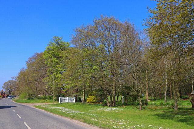
Reedham is a small civil parish located in the county of Norfolk, England. Situated on the northern bank of the River Yare, it is part of the Broadland district. The village of Reedham is surrounded by beautiful countryside and offers a tranquil and picturesque setting.
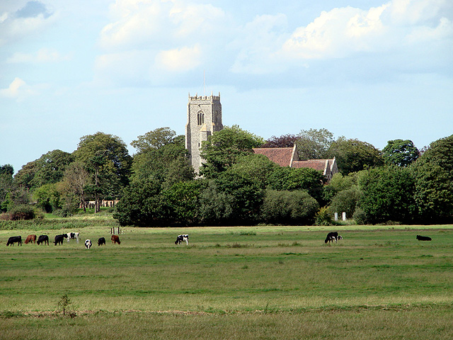
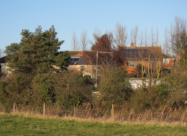
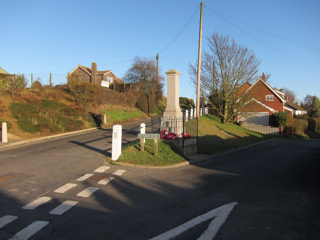
The parish covers an area of approximately 12 square kilometers and has a population of around 1,200 residents. Reedham is known for its historic charm, with many buildings dating back to the 18th and 19th centuries. The village is home to a number of traditional thatched cottages, as well as a Grade II listed church, St. John the Baptist, which dates back to the 14th century.
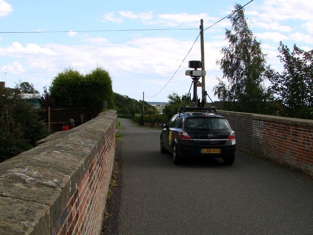
Reedham is well-connected by both road and rail. The village is located on the A47 road, which provides easy access to nearby towns such as Acle and Great Yarmouth. Reedham also has its own railway station, which is on the Norwich to Great Yarmouth line. This makes it a popular destination for tourists looking to explore the Norfolk Broads, as well as for commuters working in nearby cities.
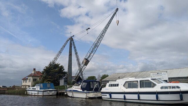
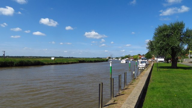
The village has a small but thriving community, with a range of local amenities including a primary school, a post office, a village hall, and several pubs and restaurants. Reedham also benefits from its proximity to the River Yare, with a number of moorings and boatyards available for those interested in boating and watersports.
Overall, Reedham is a charming and idyllic village in the heart of Norfolk, offering a peaceful and scenic location for residents and visitors alike.
If you have any feedback on the listing, please let us know in the comments section below.
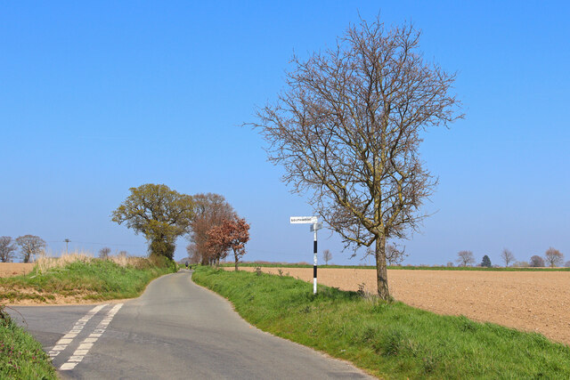
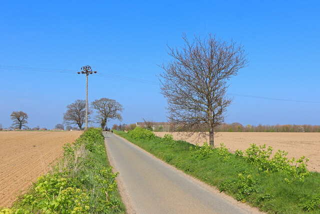
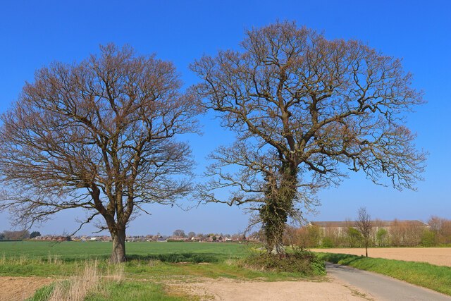
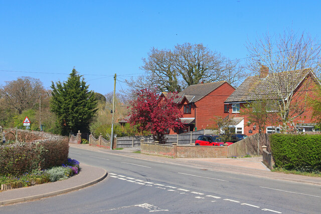
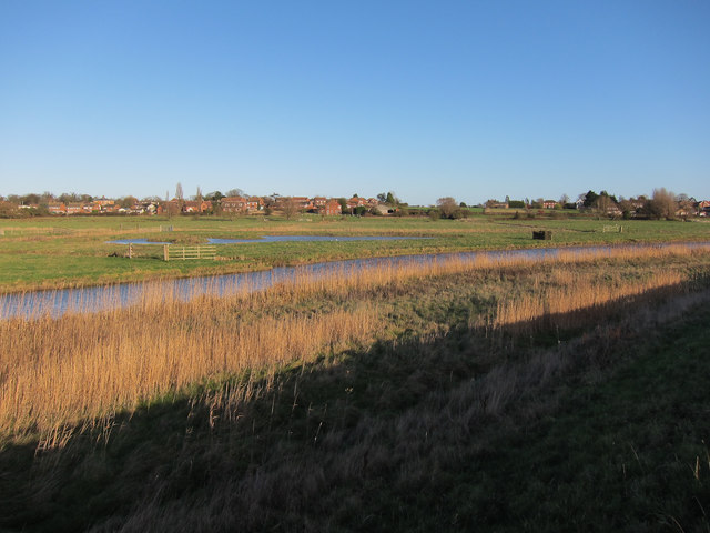
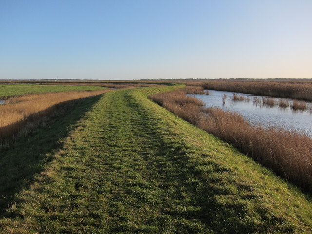
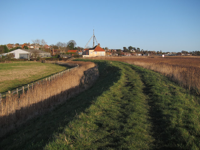
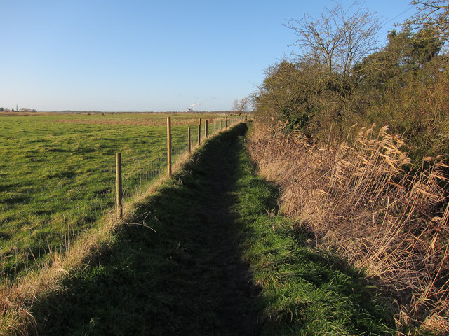
Reedham Images
Images are sourced within 2km of 52.573639/1.569003 or Grid Reference TG4103. Thanks to Geograph Open Source API. All images are credited.
Reedham is located at Grid Ref: TG4103 (Lat: 52.573639, Lng: 1.569003)
Administrative County: Norfolk
District: Broadland
Police Authority: Norfolk
What 3 Words
///carbon.smoke.forkful. Near Reedham, Norfolk
Nearby Locations
Related Wikis

Reedham railway station (Norfolk)
Reedham railway station is on the Wherry Lines in the East of England, serving the village of Reedham, Norfolk. It is 12 miles 13 chains (19.6 km) down...

Reedham, Norfolk
Reedham is a village and civil parish in the English county of Norfolk and within The Broads. It is on the north bank of the River Yare, some 12 miles...
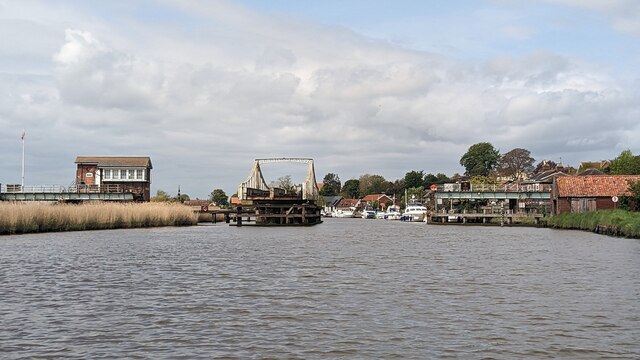
Reedham Swing Bridge
Reedham Swing Bridge, on the site of a Victorian swing bridge, is still in use at Reedham, Norfolk, England.It carries the Wherry railway line, between...
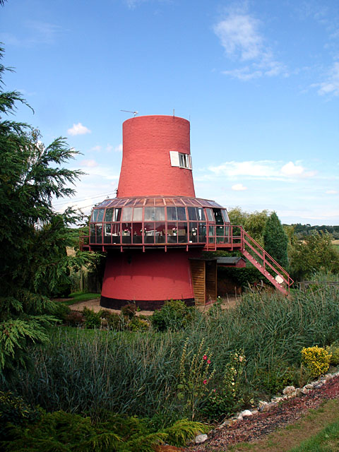
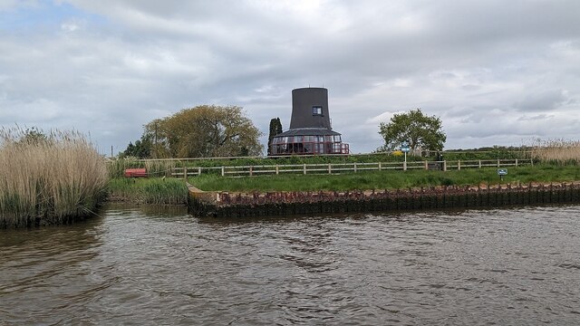
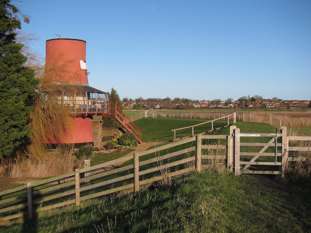
Reedham Ferry Drainage Mill
The Reedham Ferry Drainage Mill, also known as The Red Mill is a former drainage windmill found on the River Yare on The Broads in Norfolk. It is now a...
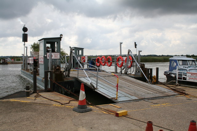
Reedham Ferry
Reedham Ferry is a vehicular chain ferry across the River Yare in the English county of Norfolk, in the Broads. The ferry crosses the river near the village...

Limpenhoe Meadows
Limpenhoe Meadows is a 12-hectare (30-acre) biological Site of Special Scientific Interest west of Reedham in Norfolk. It is part of the Broadland Ramsar...

Freethorpe
Freethorpe is a village and civil parish in the English of Norfolk. The village is located 7.2 miles (11.6 km) south-west of Great Yarmouth and 11 miles...

Limpenhoe
Limpenhoe is a village and former civil parish, now in the Cantley, Limpenhoe and Southwood, in the Broadland district, in the county of Norfolk, England...
Nearby Amenities
Located within 500m of 52.573639,1.569003Have you been to Reedham?
Leave your review of Reedham below (or comments, questions and feedback).