Reepham

Civil Parish in Norfolk Broadland

England

Reepham

Church of St Mary & Church of St Michael There are the remains of another church (All Saints) in the churchyard. St Mary's nearest the camera is the one in use for services and St Michael is for community use.
Church of St Mary & Church of St Michael Credit: Kevin Waterhouse

Reepham is a civil parish located in the county of Norfolk, England. Situated approximately 16 miles northwest of Norwich, the parish covers an area of 10.17 square kilometers. It is situated in the district of Broadland and falls within the parliamentary constituency of Broadland.

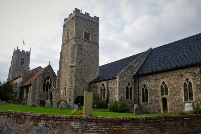
The village of Reepham is known for its picturesque surroundings and is set within the Norfolk countryside. It is home to a population of around 2,600 residents. The village has a rich history dating back to medieval times, and this is reflected in its architecture and historic buildings. The parish church of St. Mary is an iconic landmark, with its striking tower and intricate details.

Reepham offers a range of amenities and services to its residents and visitors. The village has several local shops, including a grocery store, a pharmacy, and a post office. There are also a number of restaurants, cafes, and pubs, providing options for dining and socializing.

The village is well-connected by road and public transport. The A1067 road passes through Reepham, providing convenient access to nearby towns and cities. The village also has a railway station, providing regular services to Norwich and other destinations.

Reepham is known for its strong sense of community, with various events and activities taking place throughout the year. The village hosts an annual summer festival, attracting visitors from far and wide. Additionally, there are several community groups and organizations that offer opportunities for residents to get involved and engage with their neighbors.

Overall, Reepham is a charming village with a rich history, beautiful surroundings, and a strong community spirit.

If you have any feedback on the listing, please let us know in the comments section below.
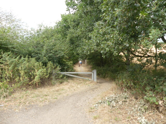
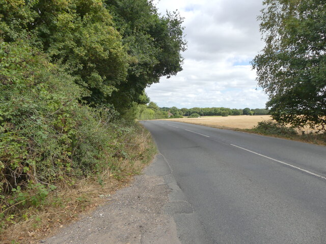
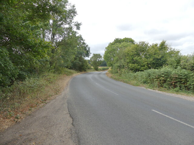
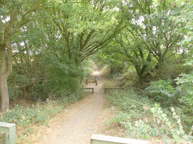
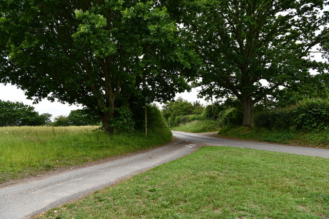
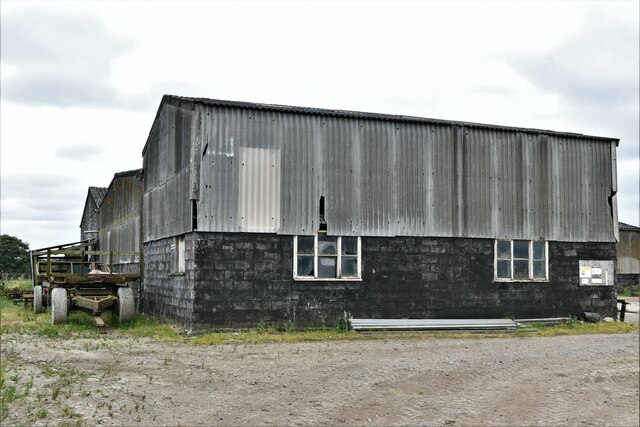
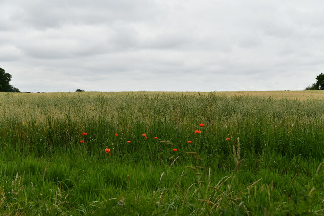
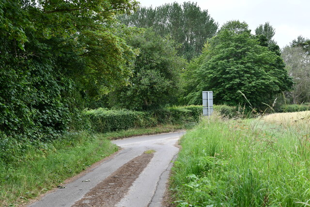
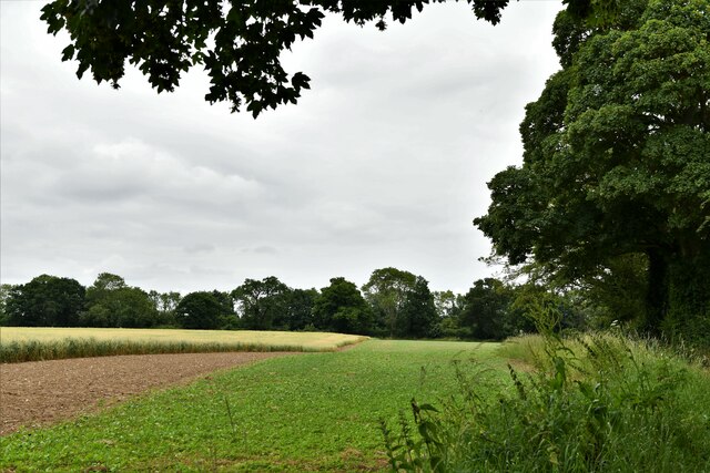
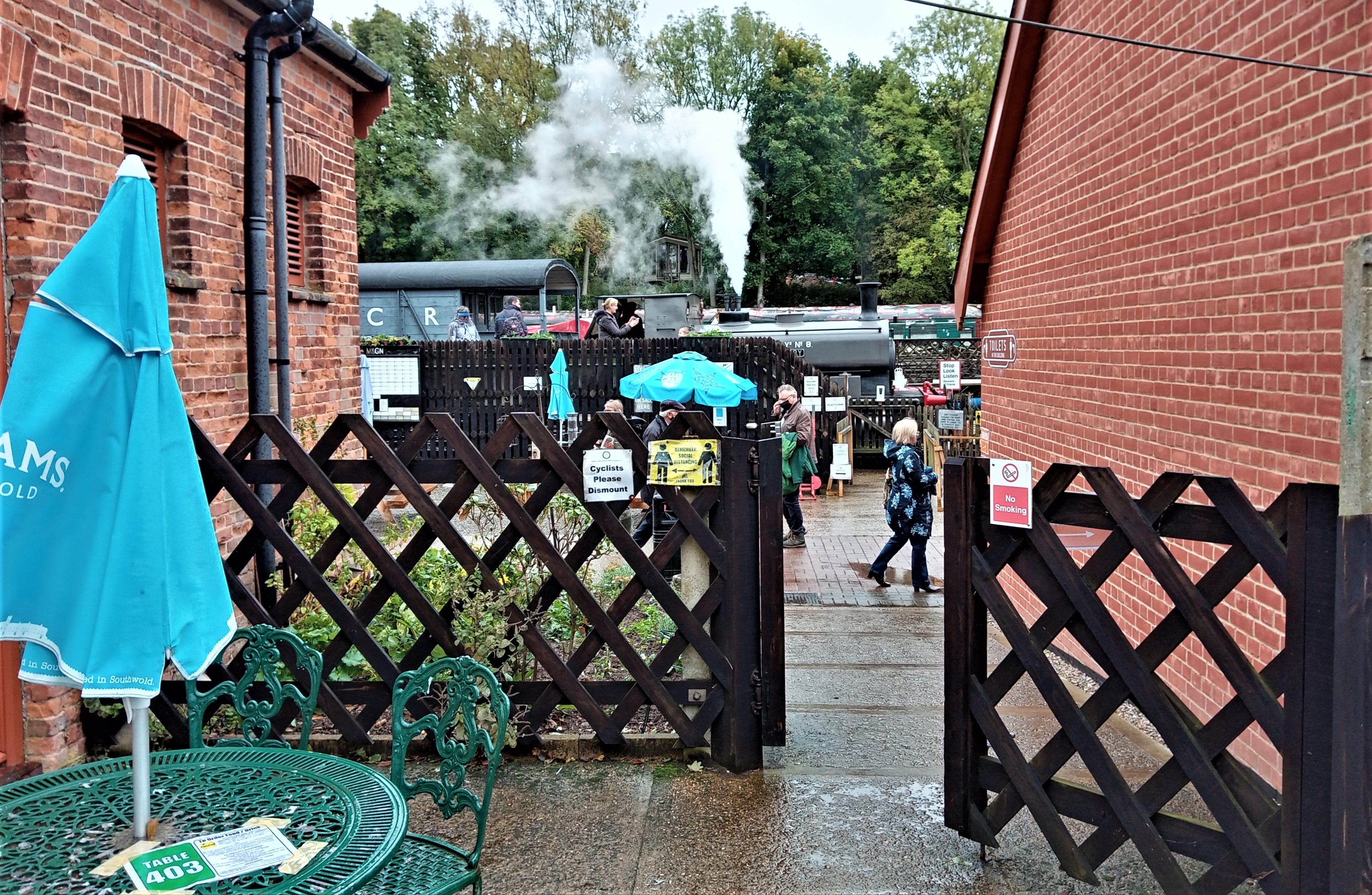
Reepham Images

Images are sourced within 2km of 52.763519/1.087451 or Grid Reference TG0822. Thanks to Geograph Open Source API. All images are credited.

Church of St Mary & Church of St Michael There are the remains of another church (All Saints) in the churchyard. St Mary's nearest the camera is the one in use for services and St Michael is for community use.
Church of St Mary & Church of St Michael
There are the remains of another church (All Saints) in the churchyard. St Mary's nearest the camera is the one in use for services and St Michael is for community use.
Head Shunt The station yard of the heritage Whitwell & Reepham Railway
Head Shunt
The station yard of the heritage Whitwell & Reepham Railway
Station Entrance On the heritage Whitwell & Reepham Railway
Station Entrance
On the heritage Whitwell & Reepham Railway
Westerly view of Marriott's Way from B1145 <span class="nowrap"><a title="https://en.wikipedia.org/wiki/Marriott%27s_Way" rel="nofollow ugc noopener" href="https://en.wikipedia.org/wiki/Marriott%27s_Way">Link</a><img style="margin-left:2px;" alt="External link" title="External link - shift click to open in new window" src="https://s1.geograph.org.uk/img/external.png" width="10" height="10"/></span>
Westerly view of Marriott's Way from B1145
Nearing Reepham on B1145 <span class="nowrap"><a title="https://en.wikipedia.org/wiki/B1145_road" rel="nofollow ugc noopener" href="https://en.wikipedia.org/wiki/B1145_road">Link</a><img style="margin-left:2px;" alt="External link" title="External link - shift click to open in new window" src="https://s1.geograph.org.uk/img/external.png" width="10" height="10"/></span>
Nearing Reepham on B1145
B1145 in Bawdeswell direction
Marriott's Way looking east from B1145
Kerdiston Road
Kerdiston Road
Kerdiston: Kerdiston Road
Kerdiston: Carr's Farm
Kerdiston: Kerdiston Road
Kerdiston: 1-4, Sunny Row
Kerdiston: Forwater Road
Kerdiston: Oat crop
Kerdiston: Oat crop
Kerdiston: Where Brick Kiln Lane joins Reepham Road
Kerdiston: Crops
Kerdiston: Crops
Show me another place!

Reepham is located at Grid Ref: TG0822 (Lat: 52.763519, Lng: 1.087451)

Administrative County: Norfolk

District: Broadland

Police Authority: Norfolk

What 3 Words

///warp.strange.greyhound. Near Reepham, Norfolk

Nearby Locations

Reepham Pettywell

Related Wikis

Pettywell

Pettywell is a hamlet within the a civil parish of Reepham in the English county of Norfolk. The hamlet is 8.3 miles (13.4 km) west south west of Aylsham...

Whitwell & Reepham railway station

Whitwell and Reepham railway station, also known as Whitwell station, is a former station situated in Norfolk, England. The station closed in 1959 and...

Reepham High School and College

Reepham High School and College is a secondary school and sixth form with academy status located in Reepham, Norfolk. The majority of the students live...

Reepham, Norfolk

Reepham () is a market town and civil parish in the Broadland district of Norfolk, England. Reepham is situated on the B1145 road between the Bure and...

Related Videos

Go on a Norfolk Holiday and End Up at Whitwell Bike Night [Motorcycle Meet]

The third part of our trip to Norfolk sees us doing a hike at the camp where we were staying, Indian Summer Tipis, and taking ...

The Grain Store Reepham house tour

The Grain Store Reepham is a luxury Norfolk holiday home which sleeps 12, perfect for a large family gathering, a stylish getaway ...

Glamping in Indian summer Tipi's is pure heaven.

What better way to enjoy getting back to nature with a little Glamping at Indian Summer Tipi's near Salle & Reepham in Deepest ...

Foxley Wood Norfolk Wildlife Trust

abundance of butterflies.

Nearby Amenities

Located within 500m of 52.763519,1.087451
Parking
Description: Patch of dirt on each side of road
Ele: 23.1973877
Note: Very small, not a car park
Lat/Long: 52.761799/1.0864585
Parking
Description: Patch of dirt at side of road
Ele: 23.1973877
Note: Not a car park
Lat/Long: 52.7618737/1.0863395
Pettywell
Place: hamlet
Wikidata: Q7179409
Wikipedia: en:Pettywell
Lat/Long: 52.7634124/1.0873955
Power: pole
Lat/Long: 52.763885/1.0843205
Power: pole
Lat/Long: 52.763291/1.0828239
Power: pole
Lat/Long: 52.7627392/1.0807076
Power: pole
Lat/Long: 52.765947/1.0925415
Power: pole
Lat/Long: 52.7658115/1.0905352
Power: pole
Lat/Long: 52.7654812/1.0890184
Power: pole
Lat/Long: 52.7651607/1.0875472
Power: pole
Lat/Long: 52.7645716/1.0860546
Power: pole
Lat/Long: 52.7646486/1.0899357
Man Made: utility_pole
Lat/Long: 52.7640254/1.0895911
Man Made: utility_pole
Lat/Long: 52.7637/1.0894757
Man Made: utility_pole
Lat/Long: 52.7633048/1.0893403
Man Made: utility_pole
Lat/Long: 52.7629575/1.0892491
Man Made: utility_pole
Lat/Long: 52.7629112/1.089296
Man Made: utility_pole
Lat/Long: 52.7627651/1.0892531
Man Made: utility_pole
Lat/Long: 52.7634622/1.0878114
Man Made: utility_pole
Lat/Long: 52.765547/1.0808484
Man Made: utility_pole
Lat/Long: 52.7654618/1.0817604
Man Made: utility_pole
Lat/Long: 52.7653993/1.0826267
Man Made: utility_pole
Lat/Long: 52.7653035/1.0835145
Man Made: utility_pole
Lat/Long: 52.765125/1.0843581
Man Made: utility_pole
Lat/Long: 52.7648572/1.0851333
Man Made: utility_pole
Lat/Long: 52.7646073/1.0858762
The data included in this document is from www.openstreetmap.org. The data is made available under ODbL.

Have you been to Reepham?

Leave your review of Reepham below (or comments, questions and feedback).