Redenhall with Harleston

Civil Parish in Norfolk South Norfolk

England

Redenhall with Harleston

A143 east at the end of the Harleston by-pass
A143 east at the end of the Harleston by-pass Credit: Roy Hughes

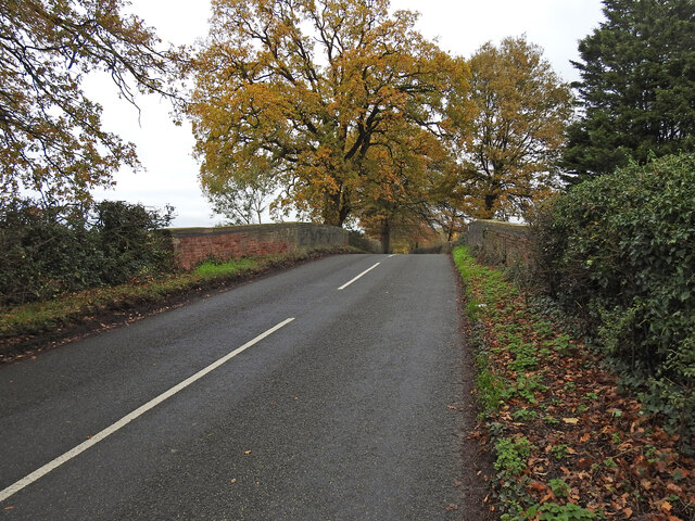
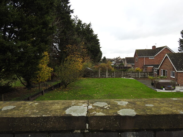
Redenhall with Harleston is a civil parish located in the South Norfolk district of Norfolk, England. It is situated on the border with Suffolk, about 20 miles south of Norwich. The parish encompasses the towns of Redenhall and Harleston, which are often referred to collectively as one entity.

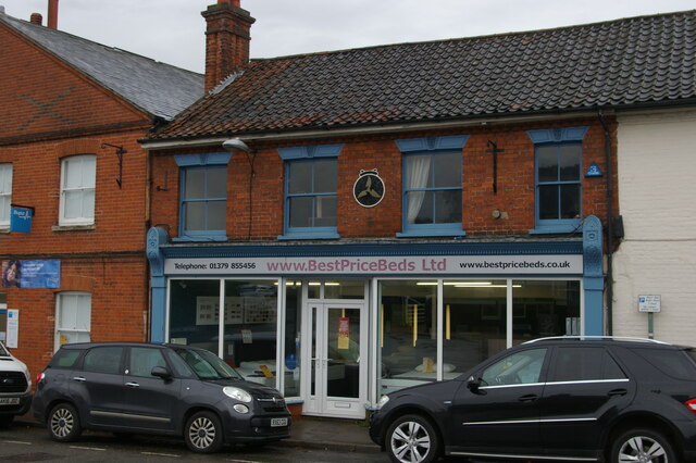
Harleston is the larger of the two towns and serves as the commercial center for the area. It has a population of around 4,500 people and boasts a range of amenities, including shops, restaurants, pubs, and a weekly market. The town has a rich history, with evidence of human settlement dating back to the Iron Age. It is known for its picturesque streets and historic buildings, such as the Swan Hotel, which dates back to the 16th century.

Redenhall, on the other hand, is a smaller town with a population of around 1,000 people. It is characterized by its charming rural atmosphere and scenic surroundings. The town is home to several notable landmarks, including St. Mary's Church, a Grade I listed building that dates back to the 15th century.

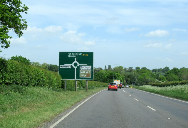
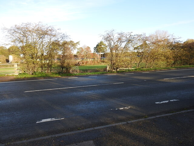
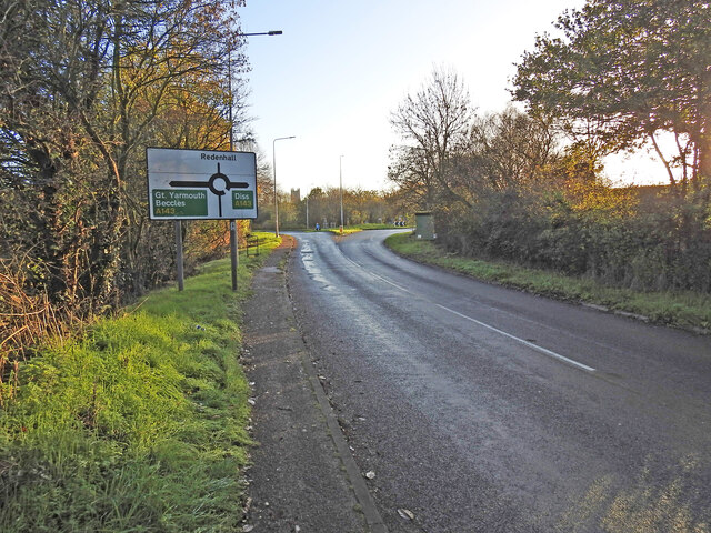
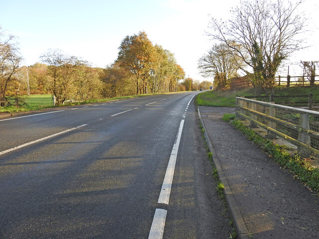
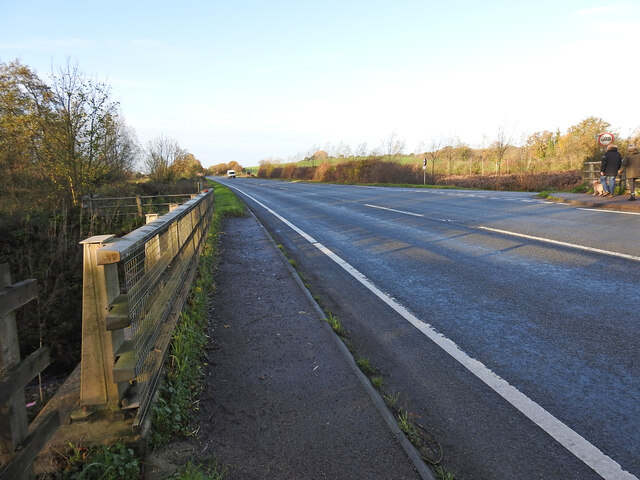
Both towns are well-connected to the surrounding areas by road, with the A143 running through Harleston, providing easy access to nearby towns and cities. The area is popular with tourists, who visit to explore its beautiful countryside, historic sites, and enjoy outdoor activities such as walking and cycling. Overall, Redenhall with Harleston offers a delightful blend of rural charm, historic architecture, and modern amenities.

If you have any feedback on the listing, please let us know in the comments section below.

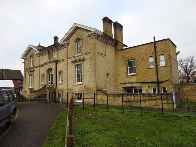
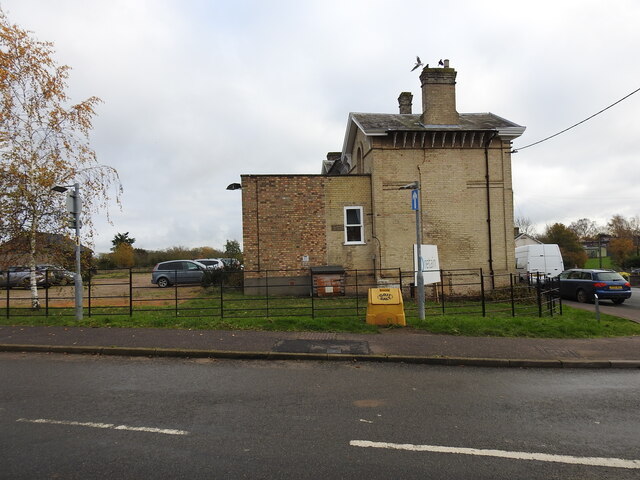
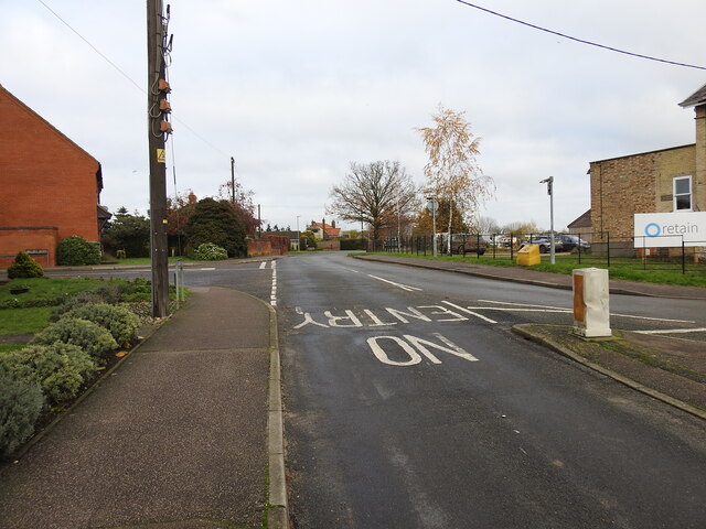
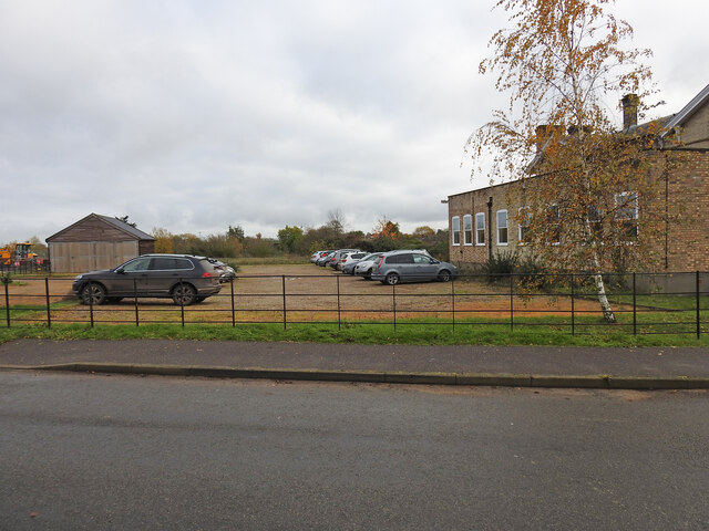
Redenhall with Harleston Images

Images are sourced within 2km of 52.41517/1.30928 or Grid Reference TM2584. Thanks to Geograph Open Source API. All images are credited.

A143 east at the end of the Harleston by-pass
Former bicycle shop, Redenhall Road, Harleston The roundel on the first floor is that of the Cyclists' Touring Club.  In the late 19th and early 20th century the CTC used these to indicate premises that were welcoming to "wheelmen": in general these were pubs and hotels, but in this case there is a small curved bar around the top of the standard logo in which the text "Repairer to" indicates that this housed a cycle workshop.
Former bicycle shop, Redenhall Road, Harleston
The roundel on the first floor is that of the Cyclists' Touring Club. In the late 19th and early 20th century the CTC used these to indicate premises that were welcoming to "wheelmen": in general these were pubs and hotels, but in this case there is a small curved bar around the top of the standard logo in which the text "Repairer to" indicates that this housed a cycle workshop.
Remembrance display in butcher's window, Thoroughfare, Harleston I've seen wreaths on display before, but never a model Cenotaph.
Remembrance display in butcher's window, Thoroughfare, Harleston
I've seen wreaths on display before, but never a model Cenotaph.
Former butcher's shop, Redenhall Road, Harleston This former butcher's shop is now a pizza takeaway. Tiles below the window give its former telephone number, Harleston 38.
Former butcher's shop, Redenhall Road, Harleston
This former butcher's shop is now a pizza takeaway. Tiles below the window give its former telephone number, Harleston 38.
The site of the former Redenhall railway station Close to this point at the lower end of Church Road was the Redenhall railway station, built in 1861 and closed in 1866 as an economy measure and very few passengers and no freight facilities. It was 7½ miles from Tivetshall with a low platform 60 yards long. The station remained in use as a cottage for the gatekeeper. The Church Road crossing (designated No. 41) was immediately to the west of the station.
The A143 was built over 6¼ miles of the original track-bed between the former Ditchingham maltings and Redenhall roundabout.
The site of the former Redenhall railway station
Close to this point at the lower end of Church Road was the Redenhall railway station, built in 1861 and closed in 1866 as an economy measure and very few passengers and no freight facilities. It was 7½ miles from Tivetshall with a low platform 60 yards long. The station remained in use as a cottage for the gatekeeper. The Church Road crossing (designated No. 41) was immediately to the west of the station. The A143 was built over 6¼ miles of the original track-bed between the former Ditchingham maltings and Redenhall roundabout.
The embankment still remains in the garden This piece of the railway embankment is still extant and is indicative of the precise location of the railway bridge (No. 1181) which carried the line over Redenhall Road 670 yards (614 Metres) distant from the short lived Redenhall Station. see <a href="https://www.geograph.org.uk/photo/7349611">TM2684 : The site of the former Redenhall railway station</a>
The embankment still remains in the garden
This piece of the railway embankment is still extant and is indicative of the precise location of the railway bridge (No. 1181) which carried the line over Redenhall Road 670 yards (614 Metres) distant from the short lived Redenhall Station. see TM2684 : The site of the former Redenhall railway station
Location of the Redenhall Road girder bridge The bridge carried the WVR line diagonally over the Redenhall Road on an embankment which is still extant in the garden of Bridge House. The bridge which was designated No. 1181 was just over 7 miles distant from Tivetshall and only 670 yards distant from the short-lived Redenhall station which stood at the bottom of Church Lane. 
The bridge crossed the road between the green Telecom box and the second lamp-post. The embankment of the left side of the road was removed when the bridge was dismantled.
Location of the Redenhall Road girder bridge
The bridge carried the WVR line diagonally over the Redenhall Road on an embankment which is still extant in the garden of Bridge House. The bridge which was designated No. 1181 was just over 7 miles distant from Tivetshall and only 670 yards distant from the short-lived Redenhall station which stood at the bottom of Church Lane. The bridge crossed the road between the green Telecom box and the second lamp-post. The embankment of the left side of the road was removed when the bridge was dismantled.
The name-plate on Bridge House, Redenhall The railway embankment in the garden of Bridge House is still extant. <a href="https://www.geograph.org.uk/photo/7349991">TM2584 : The embankment still remains in the garden</a>
I am very grateful to the owner for his assistance in allowing me access and for additional information regarding the railway line.
The name-plate on Bridge House, Redenhall
The railway embankment in the garden of Bridge House is still extant. TM2584 : The embankment still remains in the garden I am very grateful to the owner for his assistance in allowing me access and for additional information regarding the railway line.
The approach to Redenhall Station The station at Redenhall was opened in January 1861 and closed in August 1866. Nevertheless the station building remained as a crossing keeper's cottage for the remaining years of the line. It would have stood close to the centre of this image which looks toward Wortwell station a short distance down the line.
The approach to Redenhall Station
The station at Redenhall was opened in January 1861 and closed in August 1866. Nevertheless the station building remained as a crossing keeper's cottage for the remaining years of the line. It would have stood close to the centre of this image which looks toward Wortwell station a short distance down the line.
By Redenhall Station, Harleston next stop The railway followed the line of the road from here, the site of the crossing (No. 41) over Dyke Bridge (No. 1184) and over Redenhall Road and on towards Harleston Station. No trace of the line or infrastructure remains here.
By Redenhall Station, Harleston next stop
The railway followed the line of the road from here, the site of the crossing (No. 41) over Dyke Bridge (No. 1184) and over Redenhall Road and on towards Harleston Station. No trace of the line or infrastructure remains here.
A bridge and underpass beneath Old Railway Road The bridge spans a drainage channel and was designated bridge #1182.
The occupational underpass was bridge #1183 is only a few yards to the right hidden in the trees.
The road was built on the original railway embankment but was diverted from the original trajectory left of this point to meet the original height of the road at the roundabout on the left of the picture. The railway continued on the embankment towards the girder bridge #1181 over Redenhall Road, whereas the road diverts either side of the track.
A bridge and underpass beneath Old Railway Road
The bridge spans a drainage channel and was designated bridge #1182. The occupational underpass was bridge #1183 is only a few yards to the right hidden in the trees. The road was built on the original railway embankment but was diverted from the original trajectory left of this point to meet the original height of the road at the roundabout on the left of the picture. The railway continued on the embankment towards the girder bridge #1181 over Redenhall Road, whereas the road diverts either side of the track.
The site of the former Redenhall railway bridge The line was on an embankment both sides of the road and passed over Redenhall Road on a girder bridge which stood where at the location of the green BT cabinet and the keep left bollard.
The embankment can still be seen in the garden of Bridge House.
The site of the former Redenhall railway bridge
The line was on an embankment both sides of the road and passed over Redenhall Road on a girder bridge which stood where at the location of the green BT cabinet and the keep left bollard. The embankment can still be seen in the garden of Bridge House.
Harleston Station, on the former Waveney Valley Railway Harleston Station was the largest station on the line, if Tivetshall and Beccles are discounted. It was 6¼ miles down line from Tivetshall and about 14 miles from Beccles. Everything except the station building has been demolished, cleared or built over. The owners of the building are a company called Zero Retain so it isn't surprising.
The station was approached from an embankment and a girder bridge, diagonally spanning Redenhall Road
The Tivetshall to Harleston was the first stage to be completed and trains began running on 1st December 1855, with stations at Pulham Market Pulham St Mary and Starston. Work was already underway to extend the line to Bungay and finally to Beccles.
The station was well equipped with a 70 Yard long platform, Goods shed with various sidings with a total length of 3500 feet serving a coal yard, maltings, cattle pens, the corn mill and five private sidings. The station signal box which stood at the eastern end of the Up platform. After a Down platform was installed a covered passenger footbridge, the only one on the line was also added.
Harleston Station, on the former Waveney Valley Railway
Harleston Station was the largest station on the line, if Tivetshall and Beccles are discounted. It was 6¼ miles down line from Tivetshall and about 14 miles from Beccles. Everything except the station building has been demolished, cleared or built over. The owners of the building are a company called Zero Retain so it isn't surprising. The station was approached from an embankment and a girder bridge, diagonally spanning Redenhall Road The Tivetshall to Harleston was the first stage to be completed and trains began running on 1st December 1855, with stations at Pulham Market Pulham St Mary and Starston. Work was already underway to extend the line to Bungay and finally to Beccles. The station was well equipped with a 70 Yard long platform, Goods shed with various sidings with a total length of 3500 feet serving a coal yard, maltings, cattle pens, the corn mill and five private sidings. The station signal box which stood at the eastern end of the Up platform. After a Down platform was installed a covered passenger footbridge, the only one on the line was also added.
Harleston Railway Station from the west Standing where the level crossing was once located west of the station.
More about the station here <a href="https://www.geograph.org.uk/photo/7353067">TM2483 : Harleston Station, on the former Waveney Valley Railway</a>
The goods yard was north of the station. 
The different colour brickwork is an extension built on the platform.
Harleston Railway Station from the west
Standing where the level crossing was once located west of the station. More about the station here TM2483 : Harleston Station, on the former Waveney Valley Railway The goods yard was north of the station. The different colour brickwork is an extension built on the platform.
The site of the former level crossing #34 The station on the right with the malthouse and the corn mill on the left of the picture, where houses on what is now Millers Green have been built. West of the crossing was a siding of over 300 yards which ran as far as the bridge number TIB 1177, on the B1134 (The Street).
The site of the former level crossing #34
The station on the right with the malthouse and the corn mill on the left of the picture, where houses on what is now Millers Green have been built. West of the crossing was a siding of over 300 yards which ran as far as the bridge number TIB 1177, on the B1134 (The Street).
Part of the former Harleston goods yard The line of cars are standing on where the old track-bed of the Up and Down railway tracks. The signal box was on the back of the platform behind the station building. The Goods Shed, which had a line running through the building, stood beyond the wooden shed on the left. A covered passenger footbridge used to span the two platforms close to the centre of the picture with the coal yards a little to the left of centre. Behind the camera were the malthouse and corn mill with a short siding for a few wagons.
Part of the former Harleston goods yard
The line of cars are standing on where the old track-bed of the Up and Down railway tracks. The signal box was on the back of the platform behind the station building. The Goods Shed, which had a line running through the building, stood beyond the wooden shed on the left. A covered passenger footbridge used to span the two platforms close to the centre of the picture with the coal yards a little to the left of centre. Behind the camera were the malthouse and corn mill with a short siding for a few wagons.
Former railway bridge (TIB 1177) The bridge is a single arch constructed with engineering bricks, capped with coping stone on the parapets.
Former railway bridge (TIB 1177)
The bridge is a single arch constructed with engineering bricks, capped with coping stone on the parapets.
View from the former railway bridge The bridge, Tivetshall- Beccles #1177, is on the B 1134 road to Starston.
Houses have been built over the former Waveney Valley Railway line on the Harleston side while the Starston side of the track has been returned to agriculture.
View from the former railway bridge
The bridge, Tivetshall- Beccles #1177, is on the B 1134 road to Starston. Houses have been built over the former Waveney Valley Railway line on the Harleston side while the Starston side of the track has been returned to agriculture.
Show me another place!

Redenhall with Harleston is located at Grid Ref: TM2584 (Lat: 52.41517, Lng: 1.30928)

Administrative County: Norfolk

District: South Norfolk

Police Authority: Norfolk

What 3 Words

///helped.ropes.dime. Near Harleston, Norfolk

Related Wikis

Gawdyhall Big Wood, Harleston

Gawdyhall Big Wood, Harleston is a 29.8-hectare (74-acre) biological Site of Special Scientific Interest north of Harleston in Norfolk.This ancient wood...

Redenhall railway station

Redenhall was a station in the small hamlet of Redenhall, Norfolk. It was opened in 1861 as part of the Waveney Valley Line between Tivetshall and Beccles...

Harleston railway station

Harleston was a railway station in Harleston, Norfolk, on the Waveney Valley Line. It was an early post-war closure; passenger services on this line were...

Church of the Assumption of the Blessed Virgin Mary, Redenhall

The Church of the Assumption of the Blessed Virgin Mary, Redenhall (St. Mary's Church) is a Grade I listed parish church in the Church of England in Redenhall...

Harleston, Norfolk

Harleston is a town 16 miles (26 km) from Norwich, in the civil parish of Redenhall with Harleston, in the South Norfolk district, in the county of Norfolk...

Corn Exchange, Harleston

The Corn Exchange is a commercial building in Exchange Street in Harleston, Norfolk, England. The structure, which used as a vintage and antiques emporium...

Harleston Town F.C.

Harleston Town Football Club is a football club based in Harleston, Norfolk, England. They are currently members of the Eastern Counties League Premier...

Starston

Starston is a small village and civil parish in Norfolk. It covers an area of 9.02 km2 (3.48 sq mi) and had a population of 321 in 123 households at the...

Nearby Amenities

Located within 500m of 52.41517,1.30928
Power: pole
Lat/Long: 52.4182861/1.3129881
Power: pole
Lat/Long: 52.4181963/1.3142561
Man Made: utility_pole
Lat/Long: 52.4181341/1.3132196
Power: pole
Transformer: distribution
Lat/Long: 52.418364/1.3118121
Public Footpath
Hiking: yes
Information: guidepost
Inscription: Circular Walk / Norfolk Trails
Material: wood
Tourism: information
Lat/Long: 52.4134504/1.3133041
Power: pole
Transformer: distribution
Lat/Long: 52.4146005/1.3125698
Power: pole
Lat/Long: 52.4141834/1.3115546
Public Footpath
Hiking: yes
Information: guidepost
Inscription: Circular Walk / Norfolk Trails
Material: wood
Tourism: information
Lat/Long: 52.4131856/1.3107959
Power: pole
Lat/Long: 52.4133523/1.3095859
Power: pole
Lat/Long: 52.4137686/1.3105421
Power: pole
Lat/Long: 52.412558/1.3056323
Power: pole
Lat/Long: 52.4118986/1.3092975
Power: pole
Transformer: distribution
Lat/Long: 52.4127526/1.3090669
Power: pole
Lat/Long: 52.4119829/1.3062948
Power: pole
Lat/Long: 52.4110429/1.3095067
Power: pole
Lat/Long: 52.4113481/1.3084593
Power: pole
Lat/Long: 52.4116622/1.3073891
The data included in this document is from www.openstreetmap.org. The data is made available under ODbL.

Have you been to Redenhall with Harleston?

Leave your review of Redenhall with Harleston below (or comments, questions and feedback).