Redgrave

Civil Parish in Suffolk Mid Suffolk

England

Redgrave

Redgrave and South Lopham Fen Suffolk Wildlife Trust site on Norfolk/Suffolk Border.
Redgrave and South Lopham Fen Credit: John Went

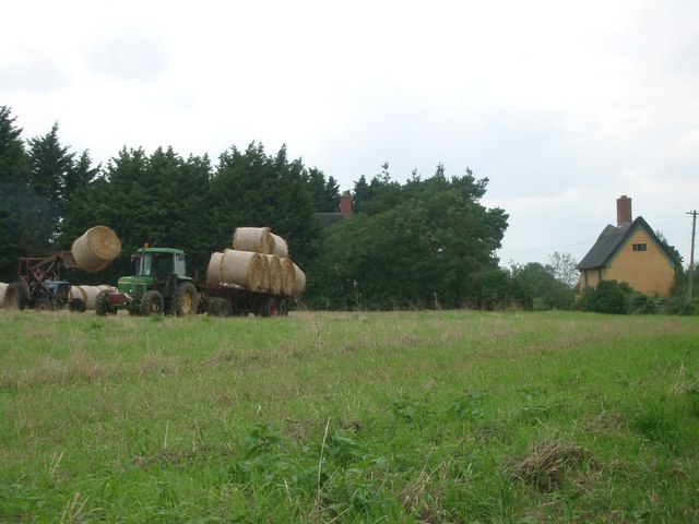
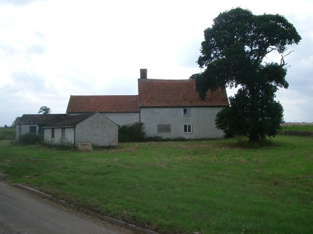
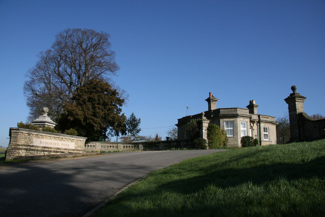
Redgrave is a civil parish located in the county of Suffolk, England. It lies about 3 miles southeast of the town of Diss and covers an area of approximately 8 square miles. The parish is nestled in the beautiful countryside of the Waveney Valley and is surrounded by picturesque landscapes, including farmland and woodlands.

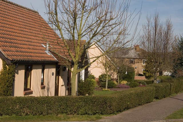
The village of Redgrave itself is a charming and historic settlement with a population of around 400 residents. It is known for its rural character and peaceful atmosphere. The parish is named after the River Waveney, which flows through its eastern boundary, offering scenic views and recreational opportunities for locals and visitors alike.

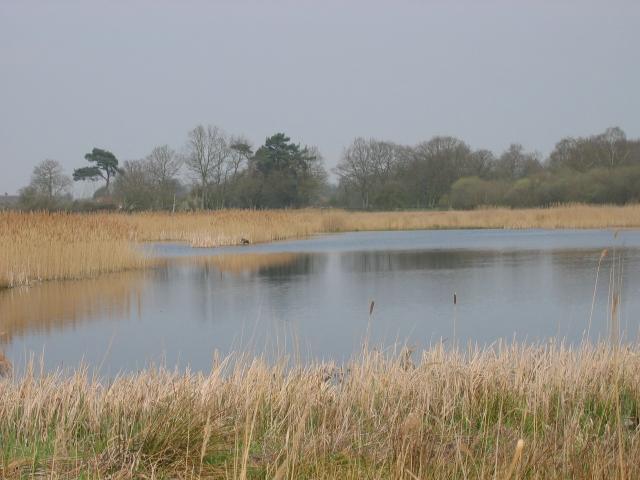
Redgrave is home to several notable landmarks, including Redgrave and Lopham Fen, one of Britain's most important wetland nature reserves. The fen is a designated Site of Special Scientific Interest and attracts a wide variety of wildlife, including rare birds, insects, and plants.

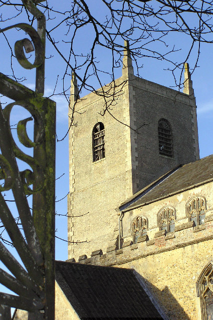
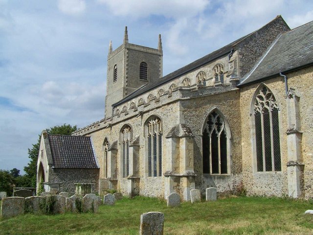
The village also boasts a medieval church, St. Mary's, which dates back to the 14th century. The church's architecture is a mix of Norman and Gothic styles, and it features an impressive tower and stained glass windows.

In terms of amenities, Redgrave has a village hall, a primary school, and a pub, providing essential services and a sense of community for its residents. The area is well-connected by road, with major routes like the A143 and A140 nearby, allowing easy access to larger towns and cities in the region.

Overall, Redgrave offers a tranquil and idyllic setting for those seeking a peaceful countryside lifestyle, surrounded by natural beauty and a rich historical heritage.

If you have any feedback on the listing, please let us know in the comments section below.
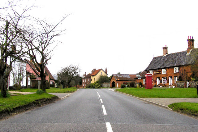
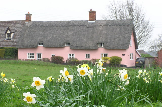
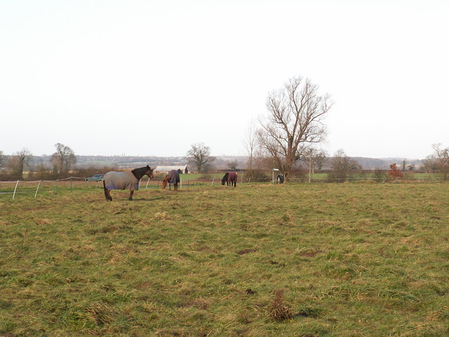
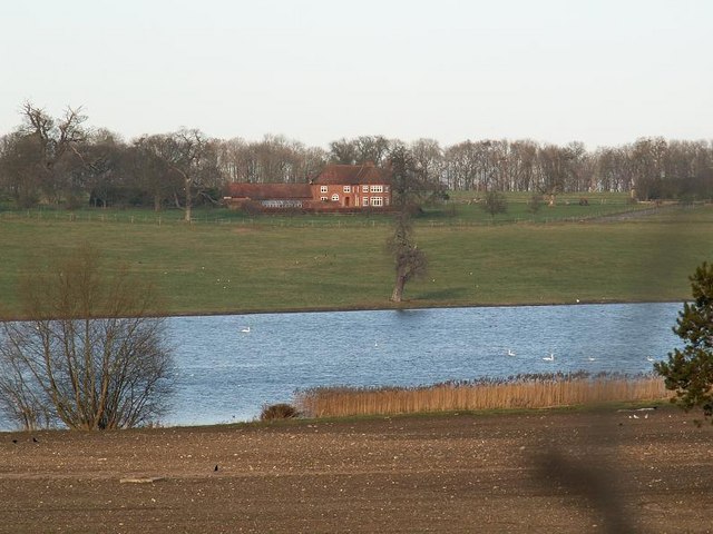
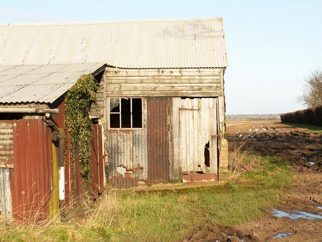
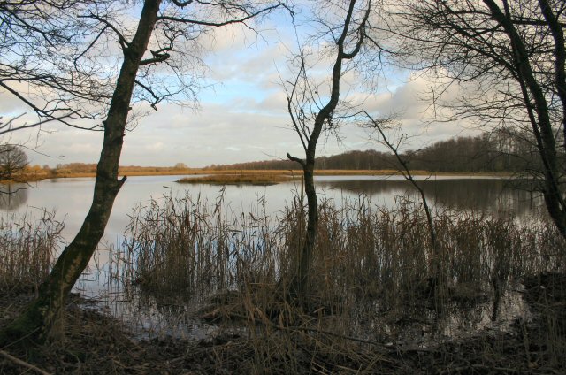
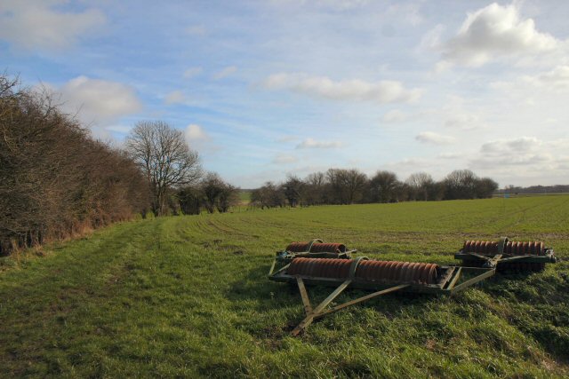
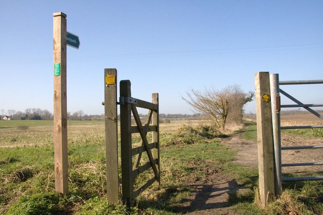
Redgrave Images

Images are sourced within 2km of 52.361654/1.01061 or Grid Reference TM0578. Thanks to Geograph Open Source API. All images are credited.

Redgrave and South Lopham Fen Suffolk Wildlife Trust site on Norfolk/Suffolk Border.
Redgrave and South Lopham Fen
Suffolk Wildlife Trust site on Norfolk/Suffolk Border.
St Mary's Church, Redgrave, Suffolk Built for the Abbot of Bury St Edmunds when he visited his country retreat at nearby Redgrave Hall
St Mary's Church, Redgrave, Suffolk
Built for the Abbot of Bury St Edmunds when he visited his country retreat at nearby Redgrave Hall
Field near Pond Farm, Fen Street The tractor on the left is unloading bales from the trailer
Field near Pond Farm, Fen Street
The tractor on the left is unloading bales from the trailer
Redgrave Common
Redgrave Common
Abandoned house near Bridge Farm
The Street, Redgrave, Suffolk The Cross Keys pub is behind the 'phone box on the right
The Street, Redgrave, Suffolk
The Cross Keys pub is behind the 'phone box on the right
Half Moon Lane, Redgrave, Suffolk Springtime in Suffolk
Half Moon Lane, Redgrave, Suffolk
Springtime in Suffolk
Spears Hill Wortham Spears Hill is the most open part of Long Green in Wortham, to the north of the rest of the common. Few houses surround the open grazing land here; there are views over the Waveney Valley to the North. For more photographs of Long Green see <a title="https://www.geograph.org.uk/photo/311528" href="https://www.geograph.org.uk/photo/311528">Link</a> and <a title="https://www.geograph.org.uk/photo/311503" href="https://www.geograph.org.uk/photo/311503">Link</a>.
Spears Hill Wortham
Spears Hill is the most open part of Long Green in Wortham, to the north of the rest of the common. Few houses surround the open grazing land here; there are views over the Waveney Valley to the North. For more photographs of Long Green see Link and Link.
Redgrave Lake This photograph shows a small part of Redgrave Lake with Redgrave Park beyond. The lake stretches for over 1km in an S shape.  The grounds were laid out by Capability Brown in the 1760's.

During World War Two the estate was used as a U.S. Airforce hospital and a prisoner of war camp. Redgrave Hall was demolished in 1947.

To find out more visit: <span class="nowrap"><a title="http://myweb.tiscali.co.uk/redgravehistory/redgravepark.htm" rel="nofollow ugc noopener" href="http://myweb.tiscali.co.uk/redgravehistory/redgravepark.htm">Link</a><img style="margin-left:2px;" alt="External link" title="External link - shift click to open in new window" src="https://s1.geograph.org.uk/img/external.png" width="10" height="10"/></span>
Redgrave Lake
This photograph shows a small part of Redgrave Lake with Redgrave Park beyond. The lake stretches for over 1km in an S shape. The grounds were laid out by Capability Brown in the 1760's. During World War Two the estate was used as a U.S. Airforce hospital and a prisoner of war camp. Redgrave Hall was demolished in 1947. To find out more visit: LinkExternal link
Tin barns Old corrugated iron farm buildings and a view over the Waveney valley.
Tin barns
Old corrugated iron farm buildings and a view over the Waveney valley.
Little Fen The source of the River Waveney.
Little Fen
The source of the River Waveney.
Byway to Hinderclay Leading southwards from Crackthorn Corner.
Byway to Hinderclay
Leading southwards from Crackthorn Corner.
Lizzie's Lane, Redgrave No one now knows who Lizzie was or what she did to get a path named after her. One can only imagine.

The lane is now a popular route for dog walkers and, contrary to appearances, it lies to the left of the hedge in the picture.
Lizzie's Lane, Redgrave
No one now knows who Lizzie was or what she did to get a path named after her. One can only imagine. The lane is now a popular route for dog walkers and, contrary to appearances, it lies to the left of the hedge in the picture.
Gatehouse to Redgrave Park The manor house within the site has been demolished. The current owner lives in what was the stable block, now much refurbished into a luxury house. The gatehouse is original. <span class="nowrap"><a title="http://myweb.tiscali.co.uk/redgravehistory/redgravepark.htm" rel="nofollow ugc noopener" href="http://myweb.tiscali.co.uk/redgravehistory/redgravepark.htm">Link</a><img style="margin-left:2px;" alt="External link" title="External link - shift click to open in new window" src="https://s1.geograph.org.uk/img/external.png" width="10" height="10"/></span>
Gatehouse to Redgrave Park
The manor house within the site has been demolished. The current owner lives in what was the stable block, now much refurbished into a luxury house. The gatehouse is original. LinkExternal link
Spring Meadow, Botesdale A public right of way exists here being used by the lady in red and her two dogs. The surrounding land has been opened up for free access by the public under the Ministry of Agriculture Fisheries & Food's Farm Access Scheme. <a href="https://www.geograph.org.uk/photo/361774">TM0476 : Sign at Spring Meadow, Botesdale</a>
Spring Meadow, Botesdale
A public right of way exists here being used by the lady in red and her two dogs. The surrounding land has been opened up for free access by the public under the Ministry of Agriculture Fisheries & Food's Farm Access Scheme. TM0476 : Sign at Spring Meadow, Botesdale
Sign at Spring Meadow, Botesdale Sign indicated the conditions of allowing public access to the field under the MAFF farm access scheme.

See the field in question at <a href="https://www.geograph.org.uk/photo/361757">TM0476 : Spring Meadow, Botesdale</a>
Sign at Spring Meadow, Botesdale
Sign indicated the conditions of allowing public access to the field under the MAFF farm access scheme. See the field in question at TM0476 : Spring Meadow, Botesdale
Botesdale Health Centre The health centre provides an invaluable service Botesdale, Rickinghall and some forty surrounding parishes.

<span class="nowrap"><a title="http://www.botesdalehc.co.uk/" rel="nofollow ugc noopener" href="http://www.botesdalehc.co.uk/">Link</a><img style="margin-left:2px;" alt="External link" title="External link - shift click to open in new window" src="https://s1.geograph.org.uk/img/external.png" width="10" height="10"/></span>
Botesdale Health Centre
The health centre provides an invaluable service Botesdale, Rickinghall and some forty surrounding parishes. LinkExternal link
Back Hills, Botesdale This development, exclusively of bungalows, was built in two phases between about 1987 and 1990 on the site of an old marl pit. The bungalows are built on concrete rafts which in turn rest on piles some twenty feet deep. They are handy for the local health centre <a href="https://www.geograph.org.uk/photo/361798">TM0476 : Botesdale Health Centre</a>on the other side of the road.
Back Hills, Botesdale
This development, exclusively of bungalows, was built in two phases between about 1987 and 1990 on the site of an old marl pit. The bungalows are built on concrete rafts which in turn rest on piles some twenty feet deep. They are handy for the local health centre TM0476 : Botesdale Health Centreon the other side of the road.
Show me another place!

Redgrave is located at Grid Ref: TM0578 (Lat: 52.361654, Lng: 1.01061)

Administrative County: Suffolk

District: Mid Suffolk

Police Authority: Suffolk

What 3 Words

///smirking.nicely.vocals. Near Botesdale, Suffolk

Nearby Locations

Redgrave

Related Wikis

Redgrave, Suffolk

Redgrave is a village and civil parish in Suffolk, England, just south of the River Waveney that here forms the county boundary with Norfolk. The village...

St Mary's Church, Redgrave

St Mary's Church is the redundant Church of England parish church of the village of Redgrave, Suffolk, England. It is a Grade I listed building. and is...

Redgrave and Lopham Fens

Redgrave and Lopham Fens is a 127 hectare biological Site of Special Scientific Interest between Thelnetham in Suffolk and Diss in Norfolk. It is a national...

St Botolph's Chapel, Botesdale

St Botolph's Chapel is located in Botesdale, Suffolk. Built as a chapel of ease for the parish church of St Mary's Church, Redgrave, it now serves as the...

Nearby Amenities

Located within 500m of 52.361654,1.01061
Redgrave
Place: village
Source: npe
Wikidata: Q2665391
Lat/Long: 52.3607066/1.0045704
Social Facility
Phoenix Luncheon Club
Addr Housename: Redgrave Activities Centre
Addr Postcode: IP22 1RL
Addr Street: Churchway
Fhrs Id: 527161
Source: FSA Food Hygiene Ratings Database
Lat/Long: 52.3615841/1.0067632
The data included in this document is from www.openstreetmap.org. The data is made available under ODbL.

Have you been to Redgrave?

Leave your review of Redgrave below (or comments, questions and feedback).