Pishill with Stonor

Civil Parish in Oxfordshire South Oxfordshire

England

Pishill with Stonor

Path along Pishill Bottom The road along the valley is not particularly pedestrian friendly. This path through the wood beside the road provides a safer if muddier option.
Path along Pishill Bottom Credit: Des Blenkinsopp

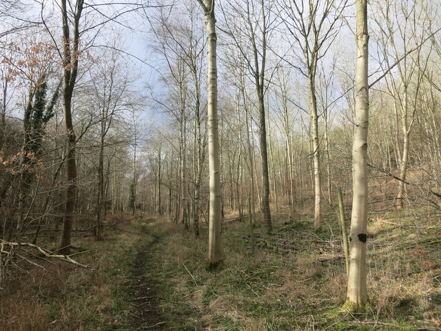
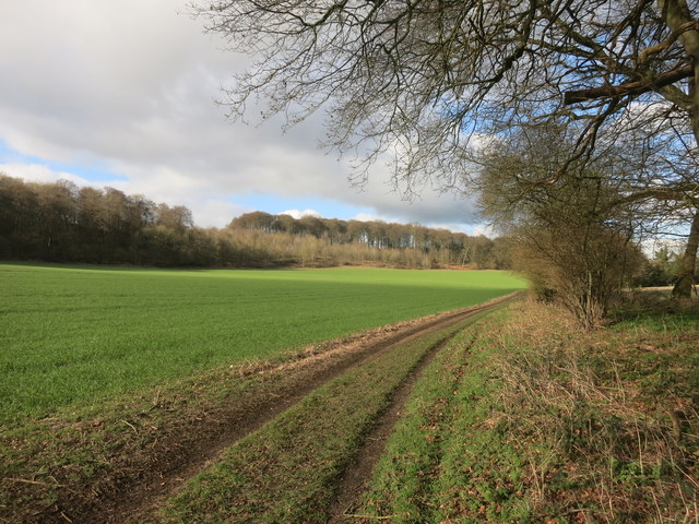
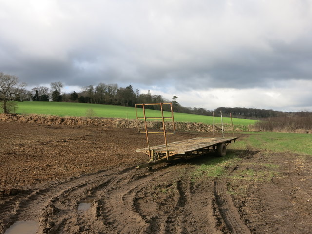
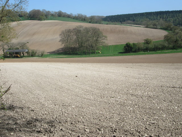
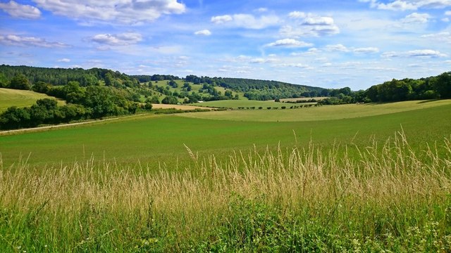
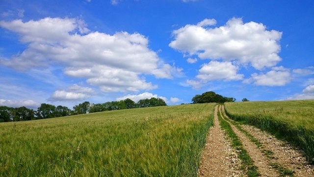
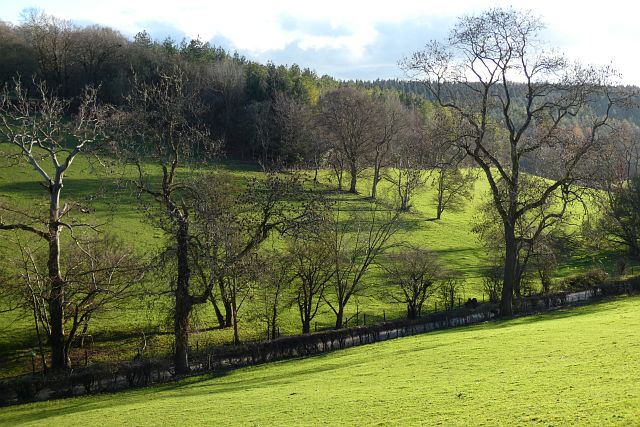
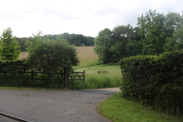
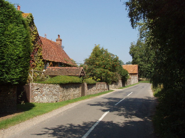
Pishill with Stonor is a civil parish located in the county of Oxfordshire, England. Situated in the Chiltern Hills, it covers an area of approximately 1,300 acres. The parish encompasses the small villages of Pishill and Stonor, along with the surrounding countryside.

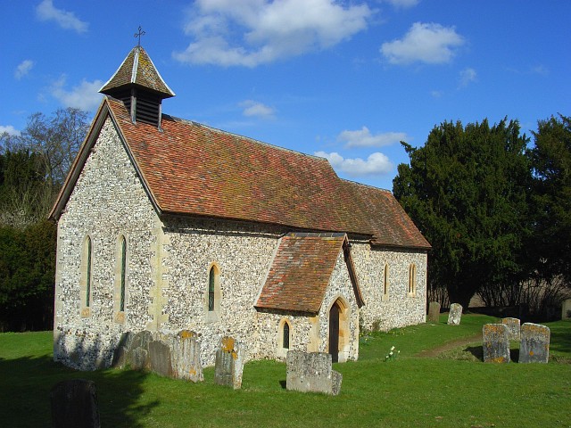
Pishill is a quaint village with a population of around 150 residents. It is known for its picturesque setting, surrounded by rolling hills and lush green fields. The village is predominantly residential, with a scattering of beautiful cottages and houses, some of which date back several centuries. Pishill also boasts a historic church, St Peter and St Paul, which dates back to the 12th century.

Stonor, on the other hand, is a smaller village with a population of around 50 people. It is famous for its stately home, Stonor Park, which has been the residence of the Stonor family for over 800 years. The park is open to the public and is renowned for its stunning gardens and medieval hall. Additionally, the village is home to the Catholic Church of the Holy Trinity, which was built in the 19th century.

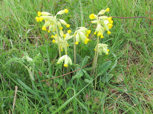
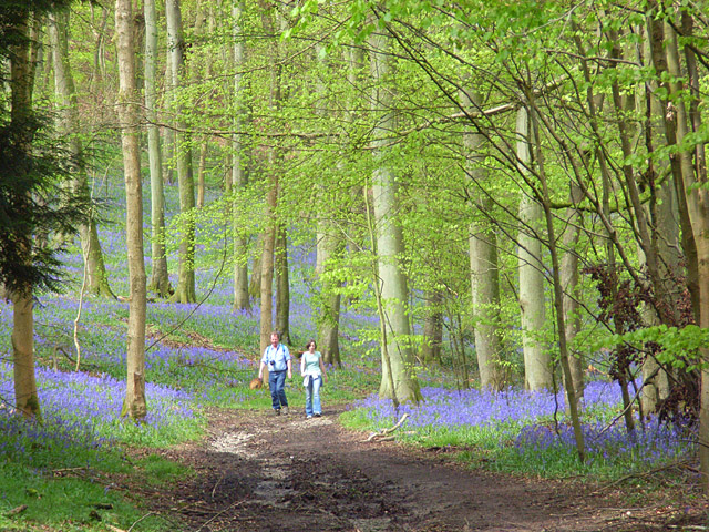
Both Pishill and Stonor offer a peaceful and idyllic lifestyle, away from the hustle and bustle of larger towns and cities. The surrounding countryside provides ample opportunities for outdoor activities such as hiking, cycling, and horseback riding. With its rich history, charming architecture, and natural beauty, Pishill with Stonor is a hidden gem within the Oxfordshire countryside.

If you have any feedback on the listing, please let us know in the comments section below.

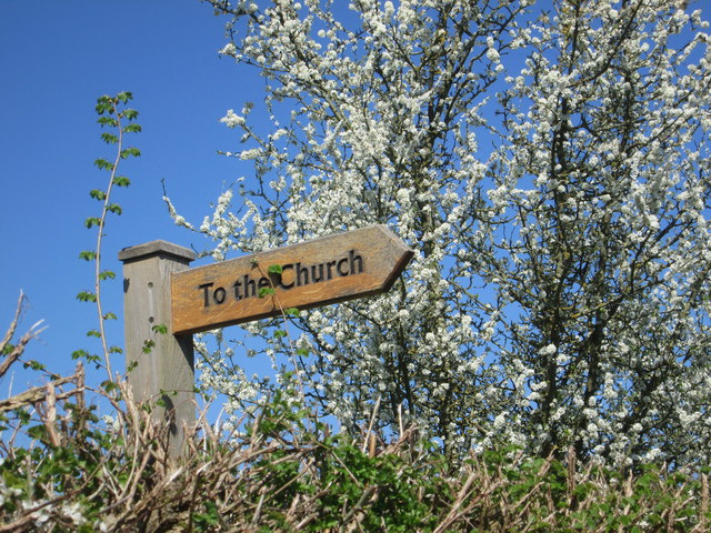
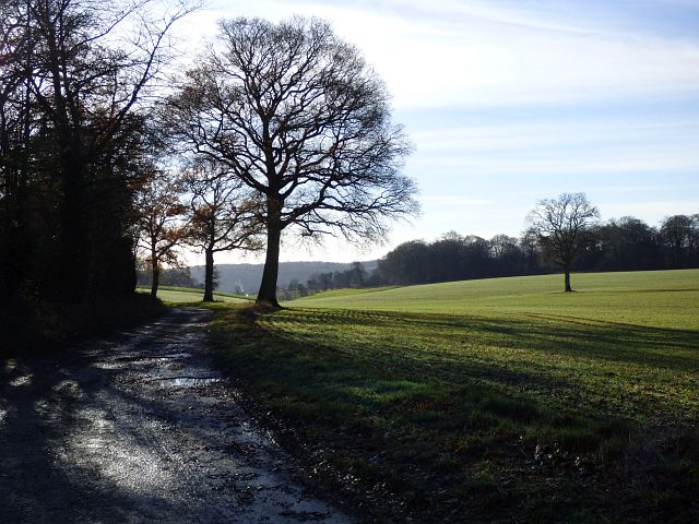
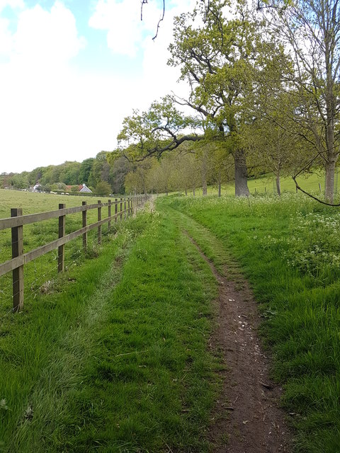
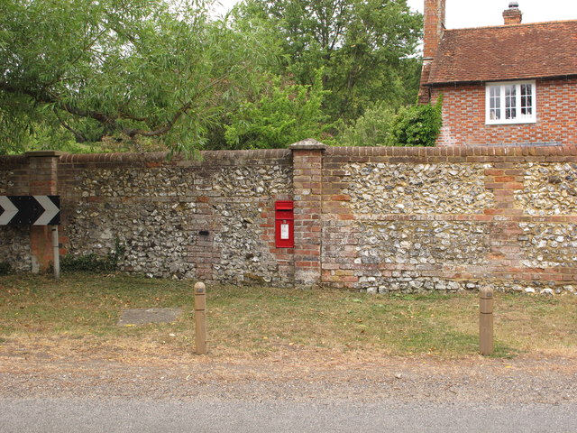
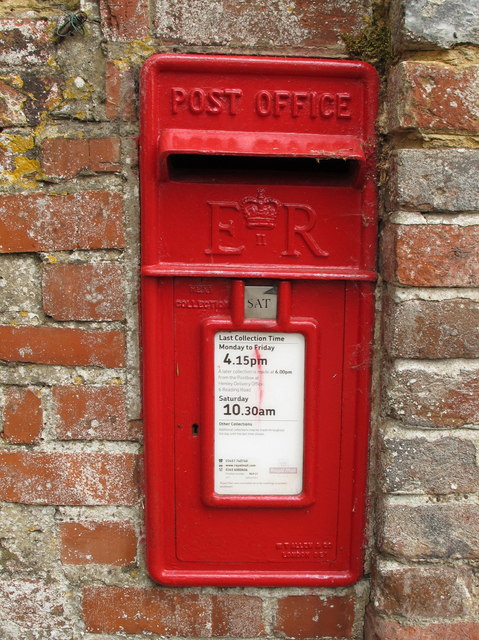
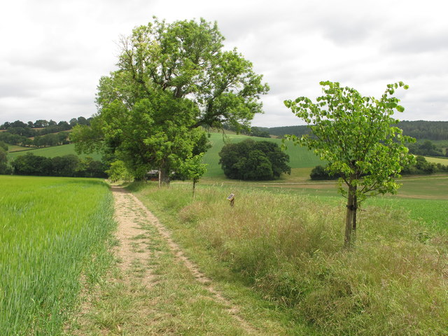
Pishill with Stonor Images

Images are sourced within 2km of 51.599157/-0.949345 or Grid Reference SU7289. Thanks to Geograph Open Source API. All images are credited.

Path along Pishill Bottom The road along the valley is not particularly pedestrian friendly. This path through the wood beside the road provides a safer if muddier option.
Path along Pishill Bottom
The road along the valley is not particularly pedestrian friendly. This path through the wood beside the road provides a safer if muddier option.
Bucks and Oxon Oxfordshire on the left of the track here and Buckinghamshire on the right.
Bucks and Oxon
Oxfordshire on the left of the track here and Buckinghamshire on the right.
Trailer in the mud This square is all farmland apart from the small area of woodland on the horizon.
Trailer in the mud
This square is all farmland apart from the small area of woodland on the horizon.
Ploughed fields from the crossroads
Sign for the church at Pishill Also the way to go if following the Oxfordshire Way.
Sign for the church at Pishill
Also the way to go if following the Oxfordshire Way.
Hollandridge Lane and farmland, Pishill A cereal crop and oaks on a ridge to the north of Pishill.
Hollandridge Lane and farmland, Pishill
A cereal crop and oaks on a ridge to the north of Pishill.
B480 north of Pishill Extensive vineyards on the right and also out of sight to the left. They seem rather new. I hope the result is passable, otherwise the reviews could be full of puns.
B480 north of Pishill
Extensive vineyards on the right and also out of sight to the left. They seem rather new. I hope the result is passable, otherwise the reviews could be full of puns.
Bridleway behind Turville Park
Wall postbox, by Pishill farmhouse, on B480 road See <a href="https://www.geograph.org.uk/photo/6502680">SU7290 : EIIR wall postbox by Pishill farmhouse</a> for detail of wall popstbox.
Wall postbox, by Pishill farmhouse, on B480 road
See SU7290 : EIIR wall postbox by Pishill farmhouse for detail of wall popstbox.
EIIR wall postbox by Pishill farmhouse It is letterbox RG917, the cipher has the crown over the II between the E and the R. See <a href="https://www.geograph.org.uk/photo/6502669">SU7290 : Wall postbox, by Pishill farmhouse, on B480 road</a> for view of it across B480 road.
EIIR wall postbox by Pishill farmhouse
It is letterbox RG917, the cipher has the crown over the II between the E and the R. See SU7290 : Wall postbox, by Pishill farmhouse, on B480 road for view of it across B480 road.
Elder trees, stubble cultivator and Dutch barn The elder trees in the hedge have their bunches of white flowers. The Dutch barn is on White Pond Farm. The bridleway down to the farmhouse is beyond the hedge.
Elder trees, stubble cultivator and Dutch barn
The elder trees in the hedge have their bunches of white flowers. The Dutch barn is on White Pond Farm. The bridleway down to the farmhouse is beyond the hedge.
Jubilee Lime Walk of White Pond Farm The tree on the right and smaller trees beyond were planted in 2012 to celebrate the golden jubilee of the Stacey family at White Pond Farm; the plaque giving these details is on a post between the first two trees. The trees are beside a public footpath.
Jubilee Lime Walk of White Pond Farm
The tree on the right and smaller trees beyond were planted in 2012 to celebrate the golden jubilee of the Stacey family at White Pond Farm; the plaque giving these details is on a post between the first two trees. The trees are beside a public footpath.
Rollers on freshly cultivated stubble field The large flinty field had stubble fragments well rolled down. A public footpath is on the right of the field.
Rollers on freshly cultivated stubble field
The large flinty field had stubble fragments well rolled down. A public footpath is on the right of the field.
Valley view Looking towards Stonor Park.
Valley view
Looking towards Stonor Park.
Border country Just inside the Buckinghamshire border and looking uphill on footpath 37.
Border country
Just inside the Buckinghamshire border and looking uphill on footpath 37.
Pasture, Turville Fields either side of Balham's Lane on the descent southwards from Turville Heath.
Pasture, Turville
Fields either side of Balham's Lane on the descent southwards from Turville Heath.
Cowslips on Jubilee lime walk Beside the public footpath shown in <a href="https://www.geograph.org.uk/photo/6503633">SU7390 : Jubilee Lime Walk of White Pond Farm</a>.
Cowslips on Jubilee lime walk
Beside the public footpath shown in SU7390 : Jubilee Lime Walk of White Pond Farm.
The entrance to Whitelands Farm, Pishill
Show me another place!

Pishill with Stonor is located at Grid Ref: SU7289 (Lat: 51.599157, Lng: -0.949345)

Administrative County: Oxfordshire

District: South Oxfordshire

Police Authority: Thames Valley

What 3 Words

///buying.army.marked. Near Watlington, Oxfordshire

Related Wikis

Pishill

Pishill is a village and former civil parish, now in the parish of Pishill with Stonor, in the South Oxfordshire district, in the county of Oxfordshire...

Pishill with Stonor

Pishill with Stonor is a civil parish in the high Chilterns, South Oxfordshire. It includes the villages of Pishill (Ordnance Survey grid reference SU727899...

Stonor

Stonor is a mostly cultivated and wooded village and former civil parish, now in the parish of Pishill with Stonor, in the South Oxfordshire, district...
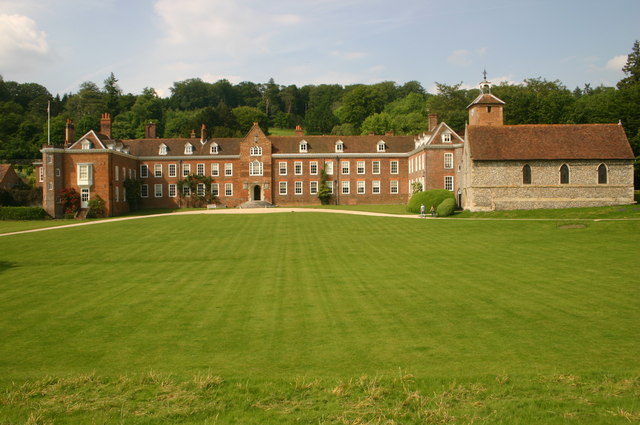
Stonor Park

Stonor Park is a historic country house and private deer park situated in a valley in the Chiltern Hills at Stonor, about four miles (6.4 km) north of...
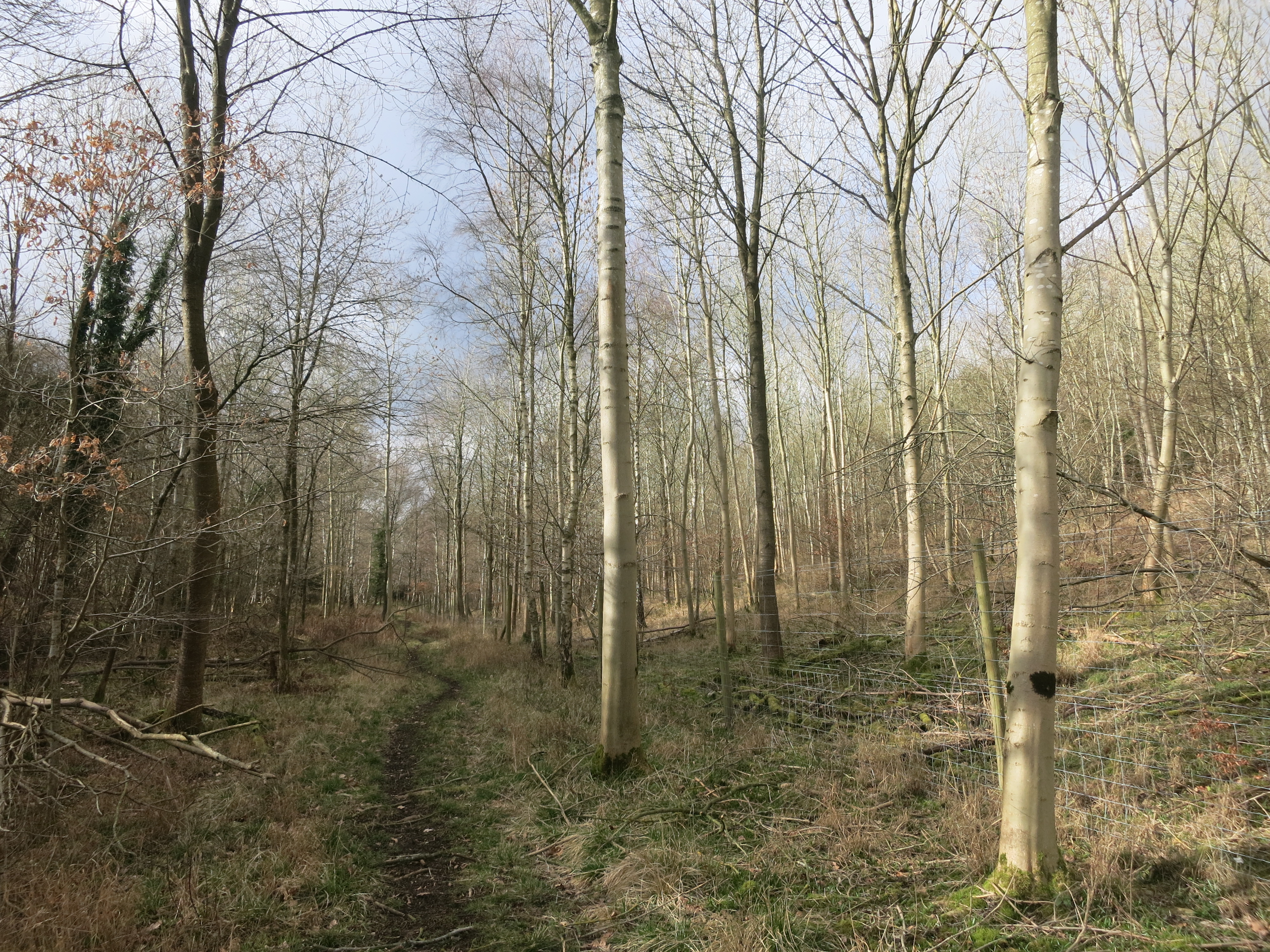
Pishill Woods

Pishill Woods is a 42.8-hectare (106-acre) biological Site of Special Scientific Interest north of Nettlebed in Oxfordshire.These semi-natural woods have...

Bix Bottom

Bix Bottom is a 102.3-hectare (253-acre) biological Site of Special Scientific Interest north-west of Henley-on-Thames in Oxfordshire. It is owned and...

Russell's Water

Russell's Water is a hamlet about 6 miles (9.7 km) north of Henley-on-Thames in South Oxfordshire. It is in the Chiltern Hills about 620 feet (190 m)...

Maidensgrove

Maidensgrove is a hamlet above the Stonor valley in the Chiltern Hills, adjacent to Russell's Water common. It is about 5 miles (8.0 km) northwest of...

Nearby Amenities

Located within 500m of 51.599157,-0.949345
The data included in this document is from www.openstreetmap.org. The data is made available under ODbL.

Have you been to Pishill with Stonor?

Leave your review of Pishill with Stonor below (or comments, questions and feedback).