Pirton
Civil Parish in Worcestershire Wychavon
England
Pirton
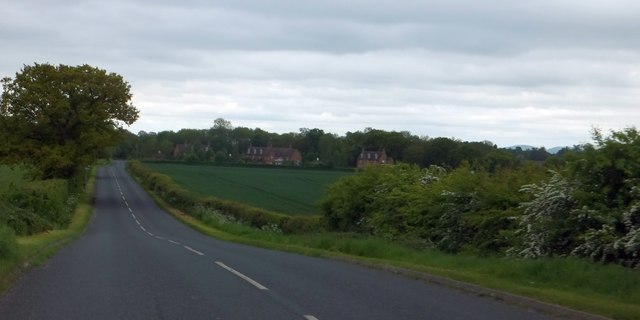
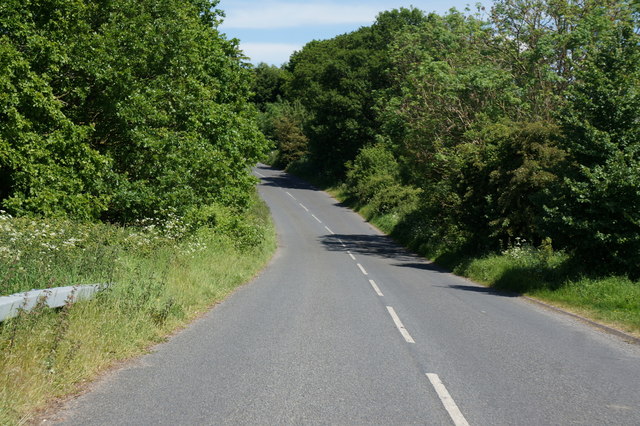
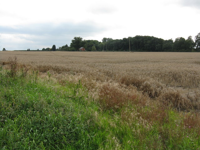
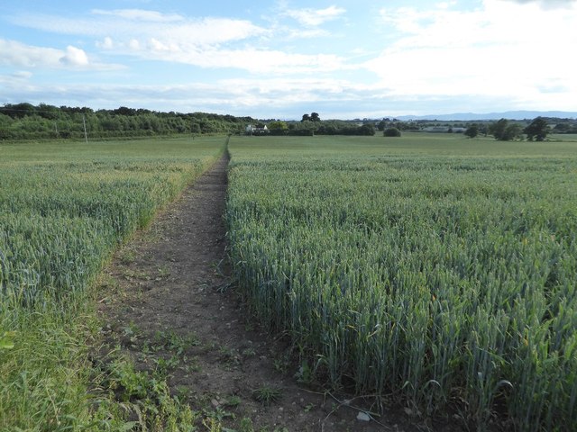
Pirton is a small civil parish located in the county of Worcestershire, England. Situated approximately 4 miles southeast of the city of Worcester, Pirton covers an area of about 2 square miles. The parish is predominantly rural, characterized by picturesque countryside landscapes and a tranquil atmosphere.
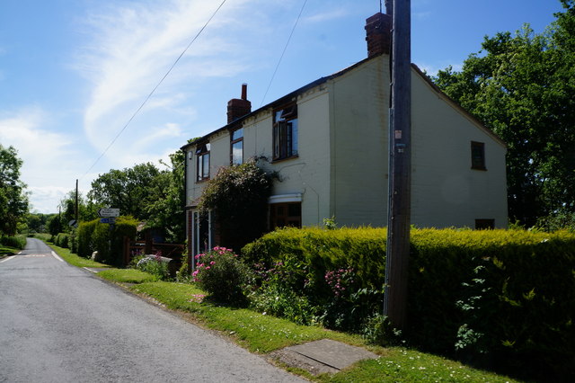
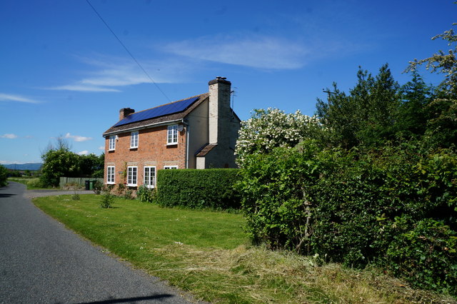
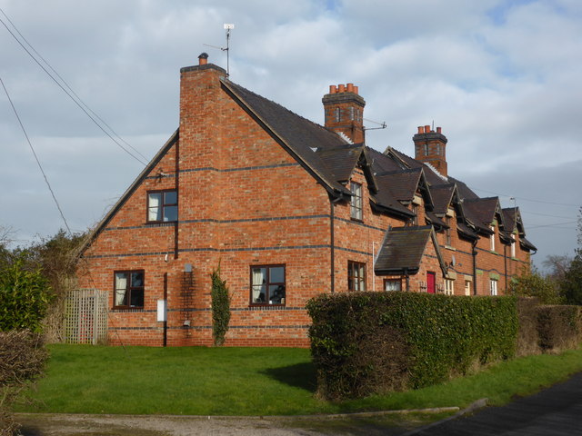
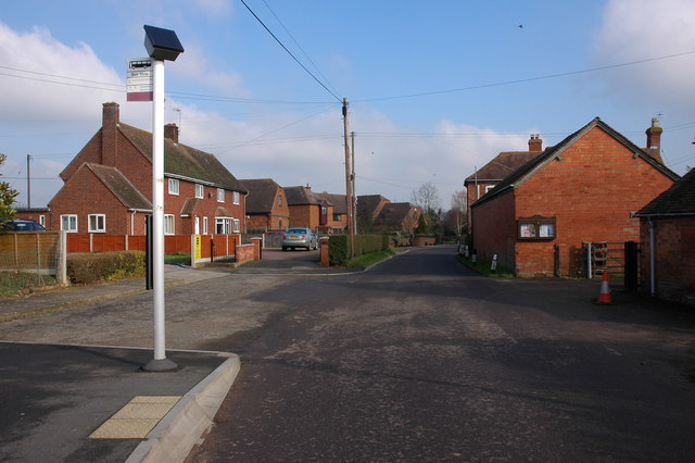
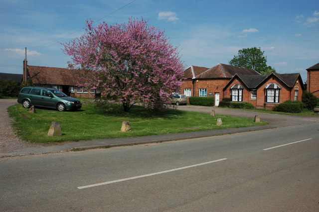
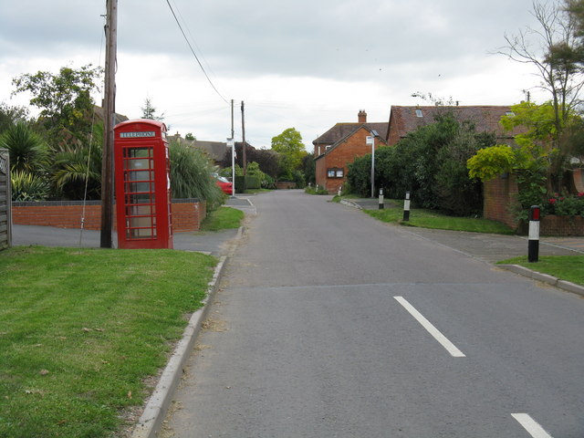
With a population of around 300 residents, Pirton is a close-knit community where residents often engage in local events and activities. The village itself is composed of a cluster of cottages and houses, many of which exhibit traditional English architectural styles. The parish is also home to St. Peter's Church, a charming medieval church that dates back to the 12th century.
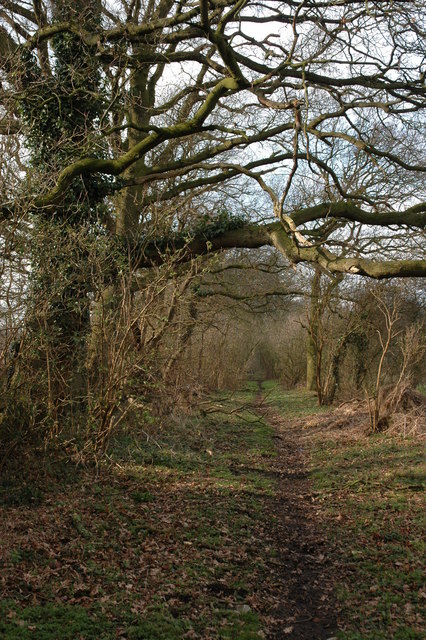
Pirton is surrounded by rolling hills and farmland, providing opportunities for outdoor activities such as hiking and cycling. The nearby River Severn offers scenic views and possibilities for fishing and boating. The parish is also well-connected to Worcester and other nearby towns, making it convenient for residents to access amenities and services.
Although Pirton is primarily residential, there are several small businesses and agricultural enterprises in the area. The parish benefits from a strong sense of community spirit, with regular community events and gatherings taking place throughout the year.
Overall, Pirton, Worcestershire is a peaceful and idyllic civil parish that offers a serene countryside lifestyle while maintaining close proximity to urban amenities.
If you have any feedback on the listing, please let us know in the comments section below.
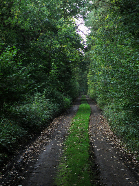
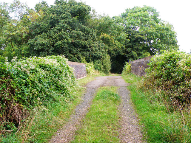
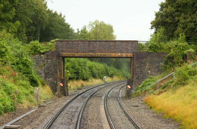
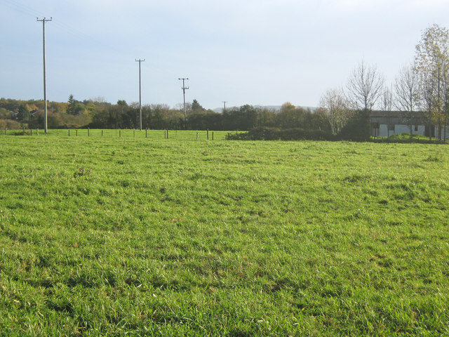
Pirton Images
Images are sourced within 2km of 52.119619/-2.169171 or Grid Reference SO8846. Thanks to Geograph Open Source API. All images are credited.

Pirton is located at Grid Ref: SO8846 (Lat: 52.119619, Lng: -2.169171)
Administrative County: Worcestershire
District: Wychavon
Police Authority: West Mercia
What 3 Words
///subplot.curtail.tummy. Near Kempsey, Worcestershire
Nearby Locations
Related Wikis

Pirton, Worcestershire
Pirton is a small village in the English county of Worcestershire. The village has been occupied since at least 1086, when Domesday listed the village...

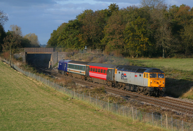
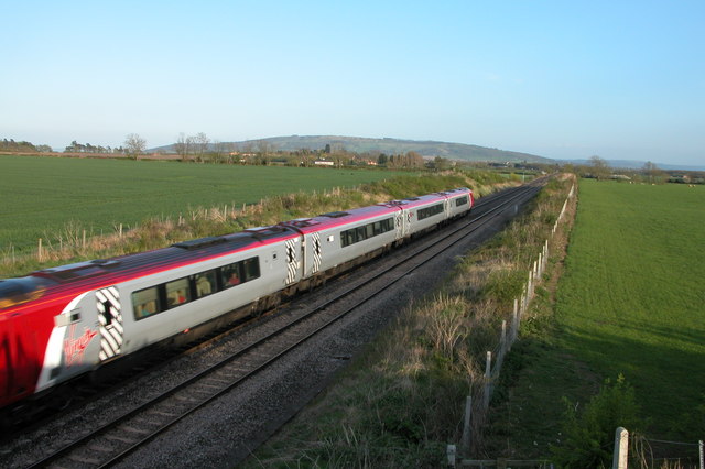
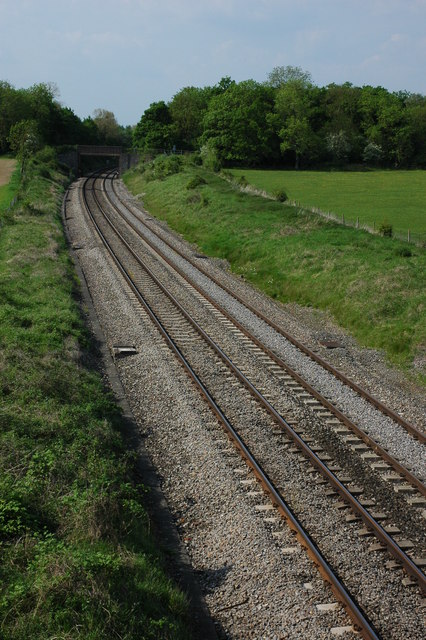
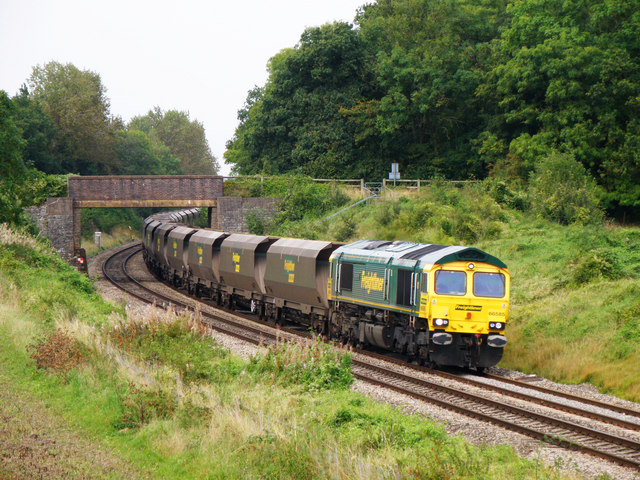
Pirton railway station
Pirton railway station, also known as Kempsey railway station, served the village of Pirton, Worcestershire, England, from 1841 to 1844 on the Birmingham...
Kempsey railway station (Worcestershire)
Kempsey railway station, also known as Pirton railway station, served the village of Kempsey, Worcestershire, England, from 1841 to 1844 on the Birmingham...

Wadborough railway station
Wadborough railway station was located in Wadborough, Worcestershire. It opened in 1841 and closed in January 1965. It was situated to the west on the...

St Mary Magdalene's Church, Croome D'Abitot
St Mary Magdalene's Church is a former Anglican church in the grounds of Croome Court, at Croome D'Abitot, Worcestershire, England. It is recorded in...

Croome D'Abitot
Croome D'Abitot is a village and civil parish, which shares a joint parish council with Severn Stoke, in the Malvern Hills District in the county of Worcestershire...
High Green, Worcestershire
High Green is a village in Worcestershire, England.
Wadborough
Wadborough is a small village 2 miles outside Pershore and 7 miles from Worcester. The village is in Worcestershire, England. The village is an old farming...
Nearby Amenities
Located within 500m of 52.119619,-2.169171Have you been to Pirton?
Leave your review of Pirton below (or comments, questions and feedback).