Broxbourne
Settlement in Hertfordshire Broxbourne
England
Broxbourne

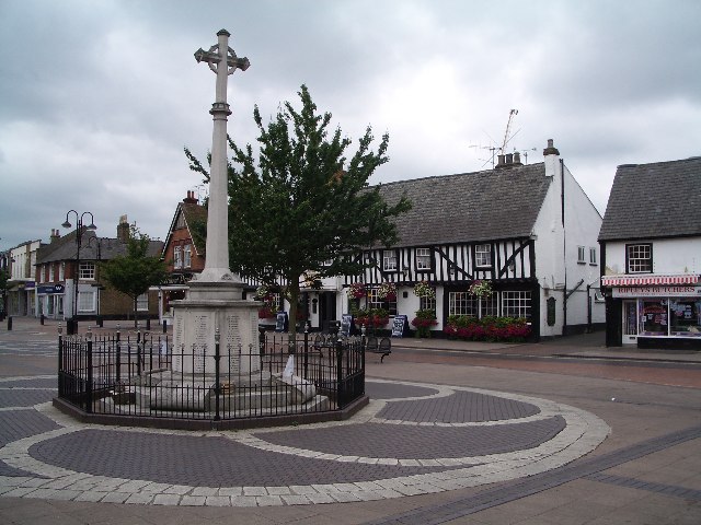
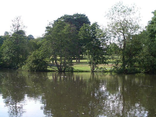
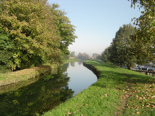
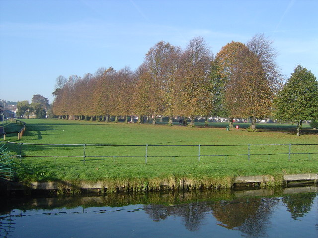
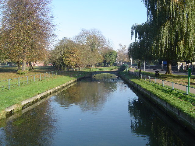
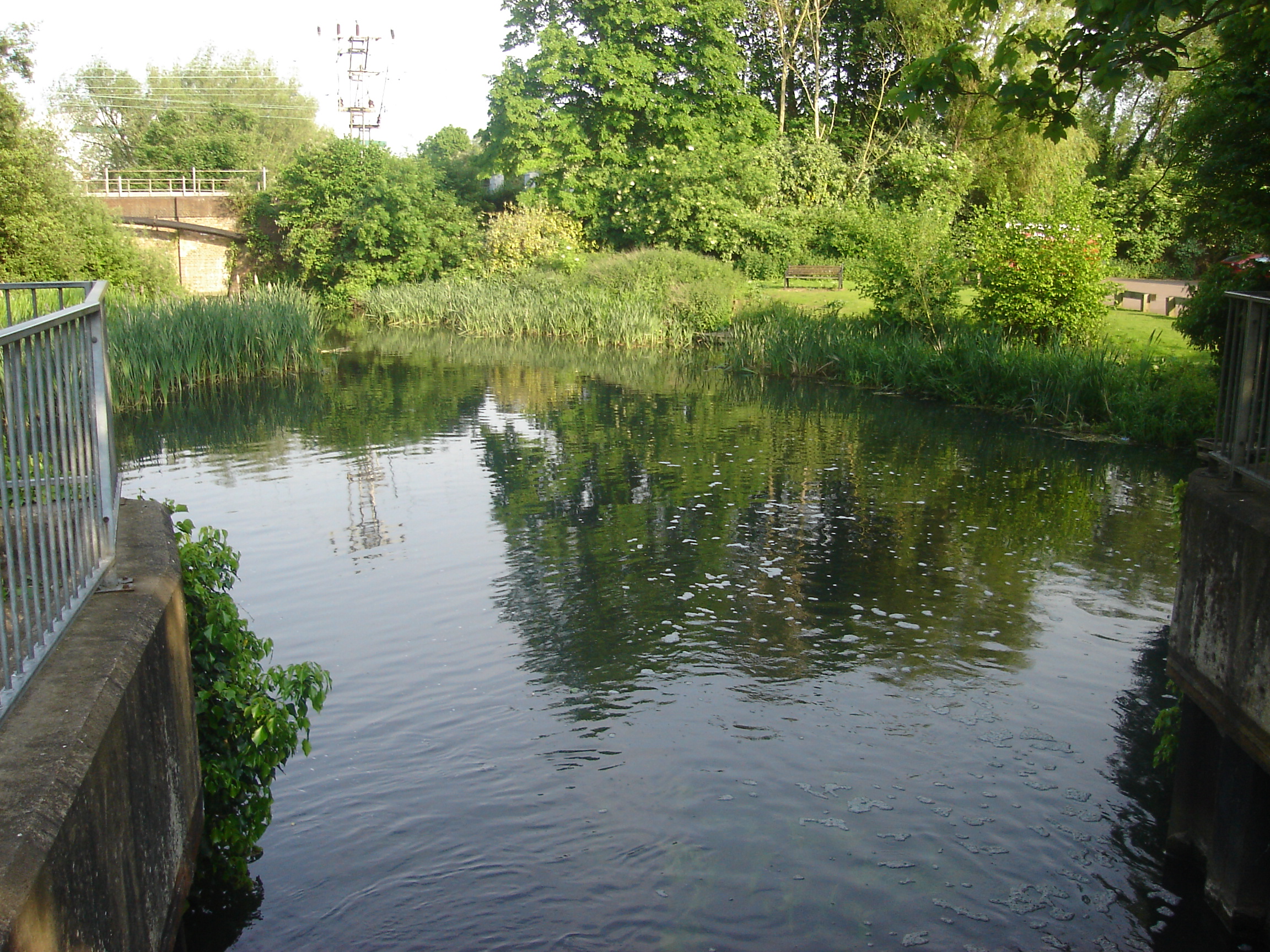
Broxbourne is a small town located in the county of Hertfordshire, England. Situated approximately 17 miles north of central London, it falls within the commuter belt of the capital. The town is bordered by the River Lea to the west and the Lee Valley Regional Park to the east, offering picturesque natural landscapes and recreational opportunities.
Broxbourne has a rich history, with evidence of human settlement dating back to the Roman era. The town's name is derived from the Old English words "broc" and "burna," meaning "badger stream." Over the years, it has evolved from a rural village to a bustling town, while still maintaining its traditional charm and character.
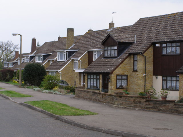
The town boasts a variety of amenities and facilities, including several schools, a library, a community center, and a range of shops and restaurants. It is also home to the Broxbourne Civic Hall, which hosts various cultural events and performances throughout the year.
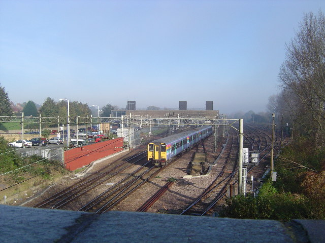
Transportation links in Broxbourne are excellent, with the town being served by its own railway station, providing direct services to London Liverpool Street in under 30 minutes. Additionally, major road networks such as the A10 and M25 motorway are easily accessible, ensuring convenient connectivity to surrounding areas.
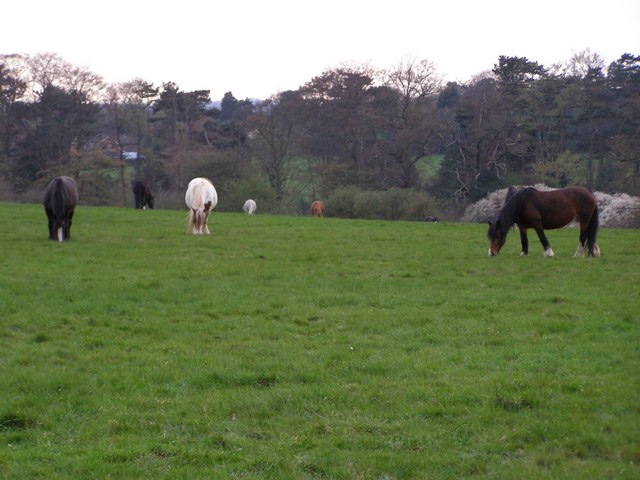
Broxbourne offers a range of recreational activities, thanks to its proximity to the Lee Valley Regional Park. The park provides opportunities for walking, cycling, fishing, and boating, making it a popular destination for both locals and visitors alike.
Overall, Broxbourne is a thriving town that combines a rich history with modern amenities, making it an attractive place to live, work, and visit.
If you have any feedback on the listing, please let us know in the comments section below.
Broxbourne Images
Images are sourced within 2km of 51.745347/-0.016243 or Grid Reference TL3707. Thanks to Geograph Open Source API. All images are credited.

Broxbourne is located at Grid Ref: TL3707 (Lat: 51.745347, Lng: -0.016243)
Administrative County: Hertfordshire
District: Broxbourne
Police Authority: Hertfordshire
What 3 Words
///necks.zoom.oven. Near Broxbourne, Hertfordshire
Nearby Locations
Related Wikis

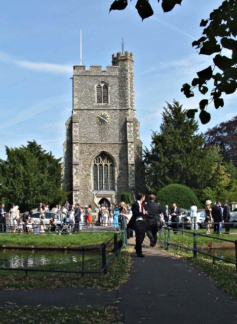
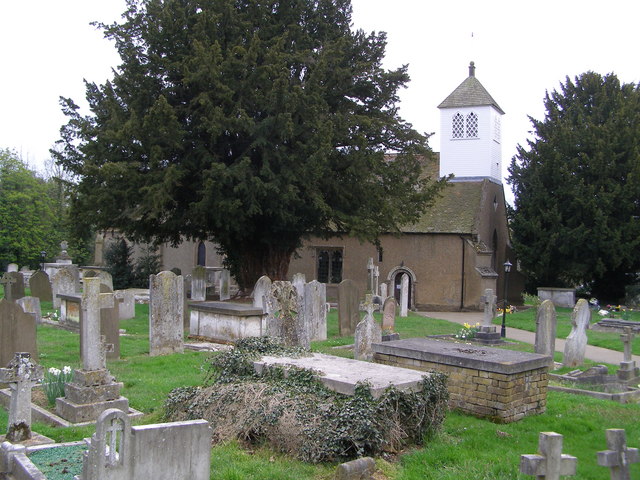
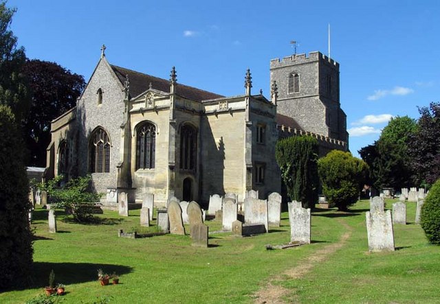
St Augustine's Church, Broxbourne
St Augustine's Church is an active Church in Broxbourne, Hertfordshire, England. The church stands opposite the New River. It is recorded in the National...

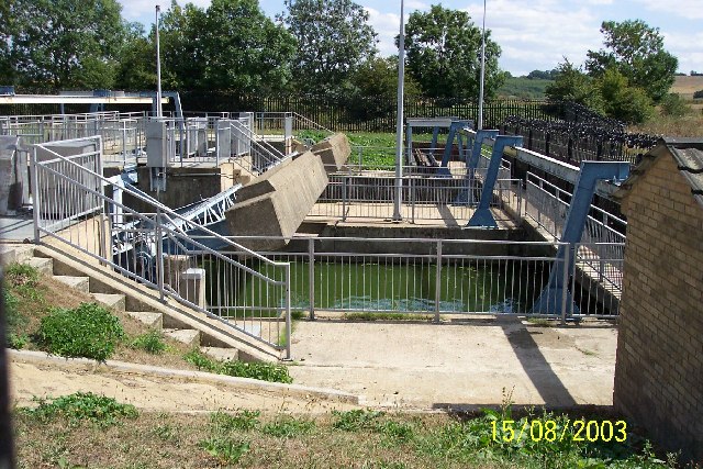
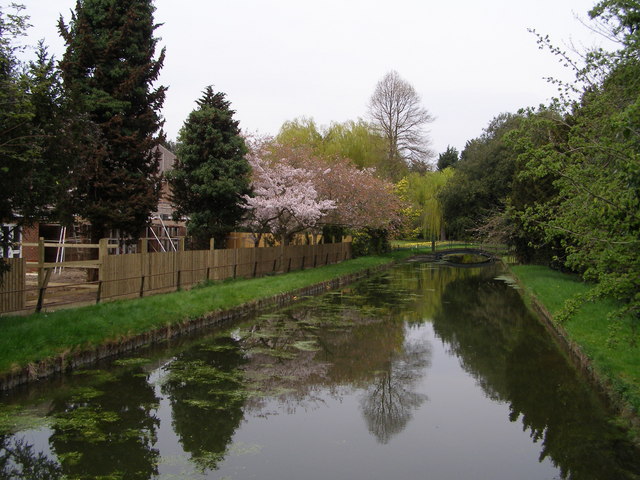
New River (London)
The New River is an artificial waterway in England, opened in 1613 to supply London with fresh drinking water taken from Chadwell and Amwell Springs near...
Broxbourne Mill
Broxbourne Mill is located at the Old Mill and Meadows Site Lee Valley Park, Broxbourne, Hertfordshire. == History == A mill stood here for 900 years before...

Broxbourne Mill Stream
The Broxbourne Mill Stream which diverges from the River Lee Navigation just south of Dobbs Weir, is one of the few remaining 'old river' loops of the...
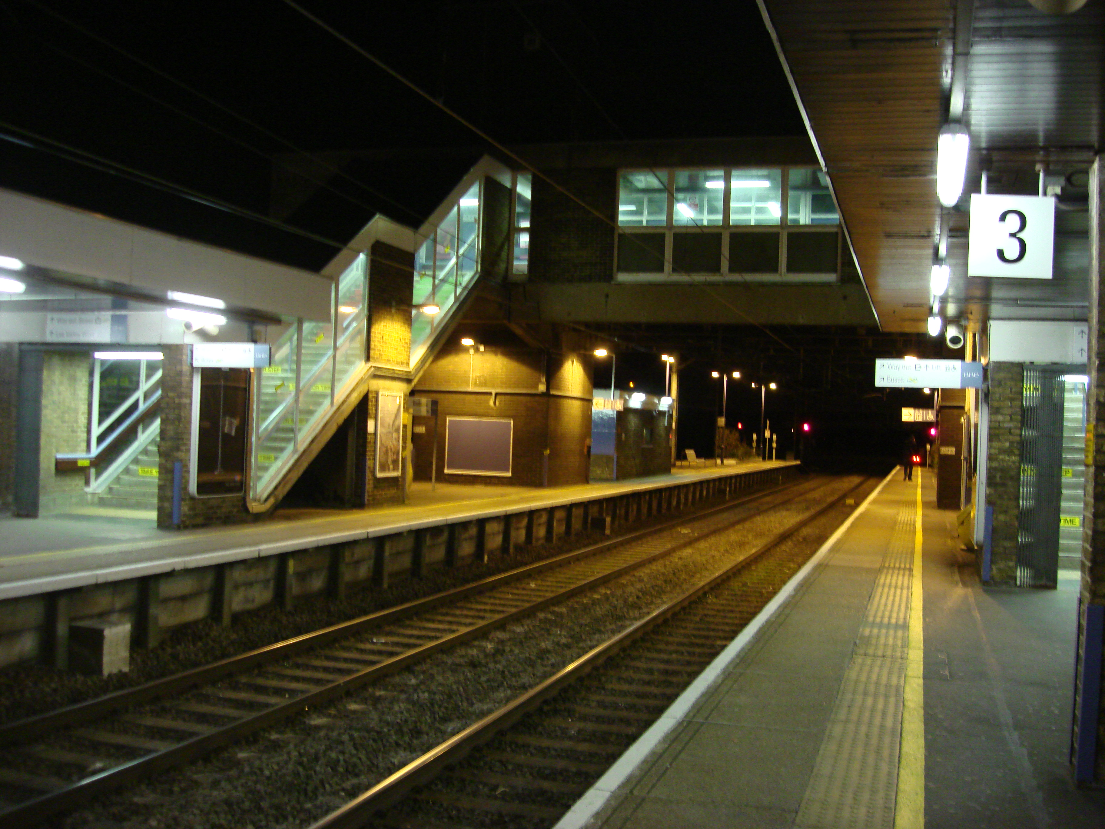
Broxbourne railway station
Broxbourne railway station is on the West Anglia Main Line serving the towns of Broxbourne and Hoddesdon in Hertfordshire, England. It is 17 miles 17 chains...

Cannix
Cannix otherwise Canwykes or Broxbournes, is an area near Broxbourne, Hertfordshire, England. It was named from its early tenants, and was held of the...
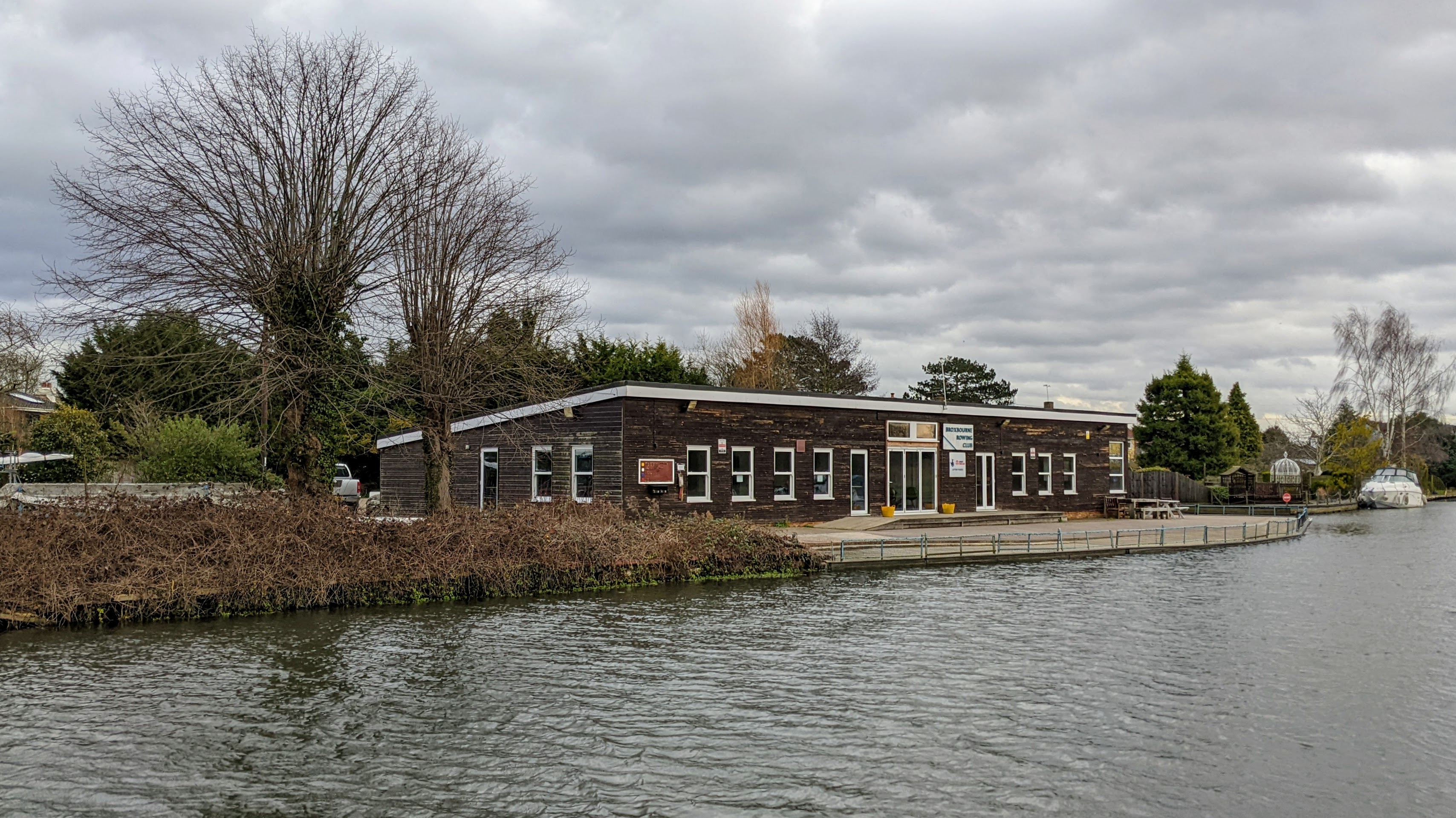
Broxbourne Rowing Club
Broxbourne Rowing Club is a rowing club on the River Lea, based at Old Nazeing Road, Broxbourne, Hertfordshire. == History == formed in 1847 Broxbourne...
Broxbourne
Broxbourne is a town in the Borough of Broxbourne district, in Hertfordshire, England, with a population of 15,303 at the 2011 Census. It is located to...
Related Videos
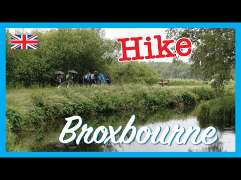
Cheshunt to Broxbourne walk | 🇬🇧 Hiking UK | England
River Lee Country Park and Waltham Abbey Length Main Walk: 17½ km (10.9 miles). Three hours 55 minutes walking time.
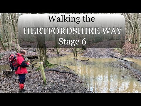
Walking the Hertfordshire Way - 06
A very muddy walk on the Hertfordshire Way from Broxbourne, to Cuffley Route of OS Maps ...
Walking On Sunshine - Katrina & The Waves | Cover by Loz MB
Hertfordshire vocalist Loz MB covering Walking On Sunshine by Katrina & The Waves at The George III, Hoddesdon. Loz MB is ...
Nearby Amenities
Located within 500m of 51.745347,-0.016243Have you been to Broxbourne?
Leave your review of Broxbourne below (or comments, questions and feedback).