Paulton
Civil Parish in Somerset
England
Paulton
The requested URL returned error: 429 Too Many Requests
If you have any feedback on the listing, please let us know in the comments section below.
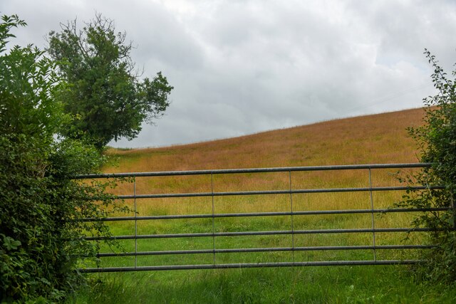
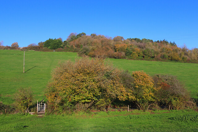
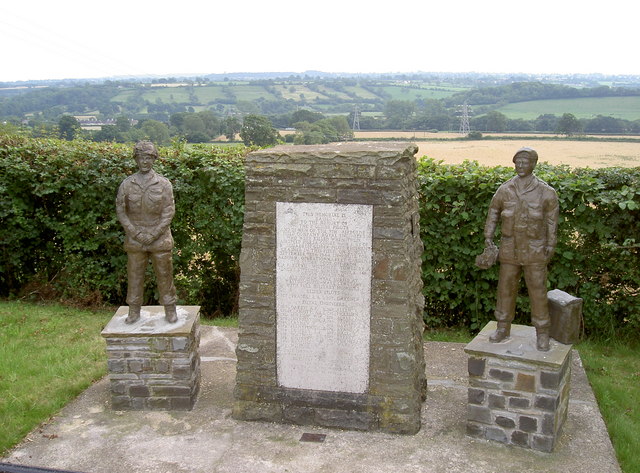
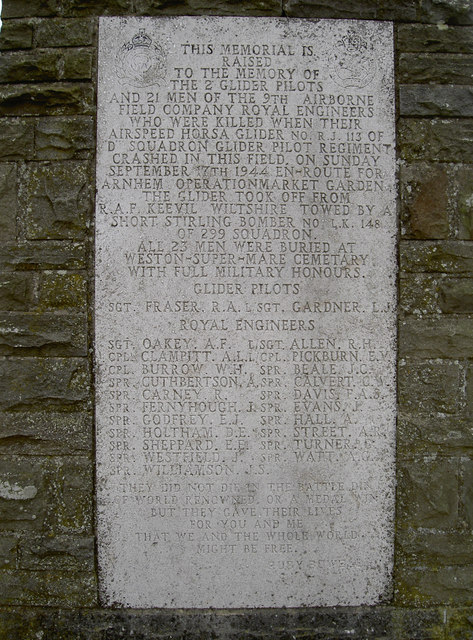
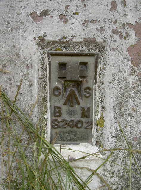
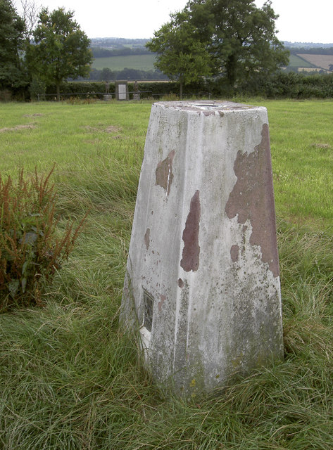
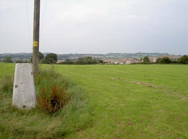
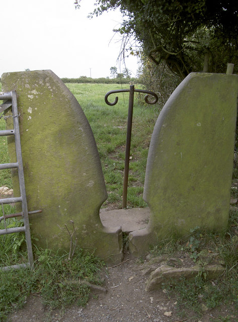
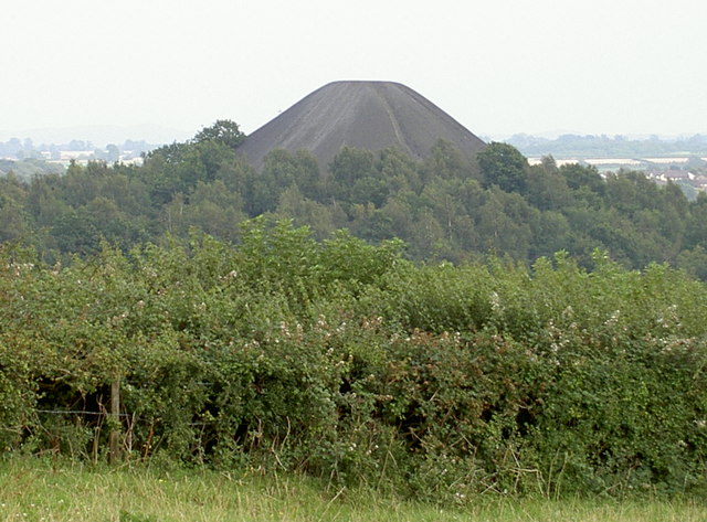
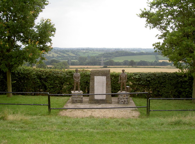
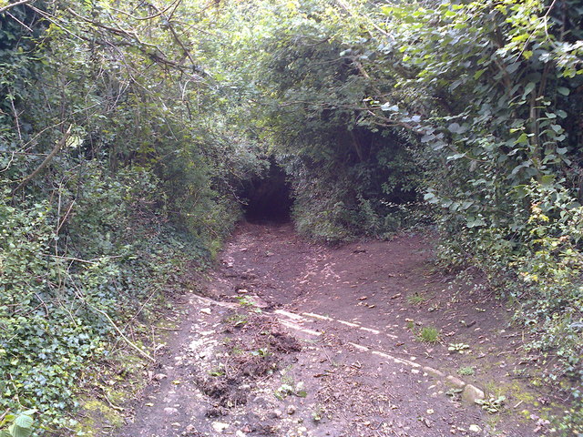
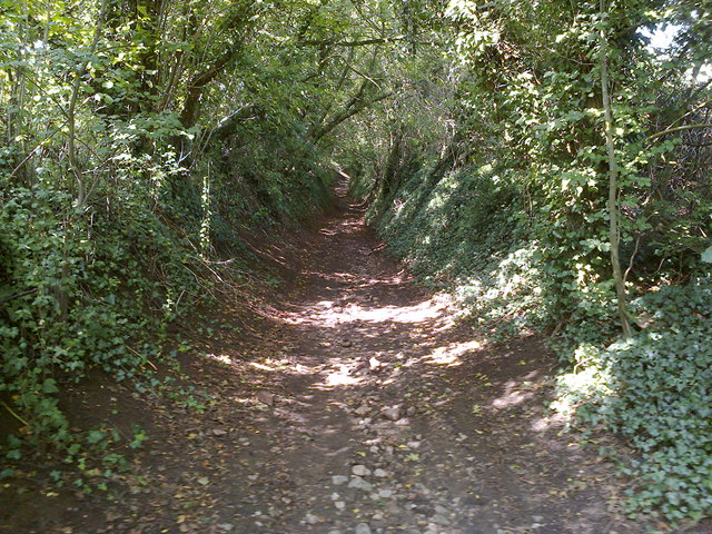
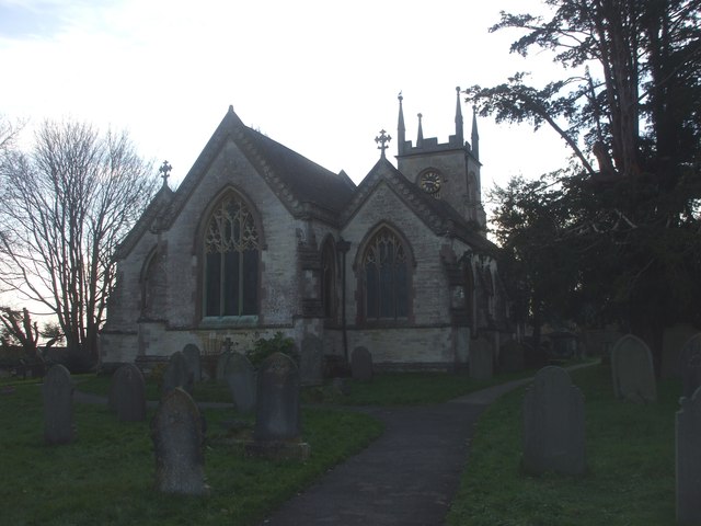
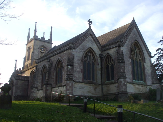
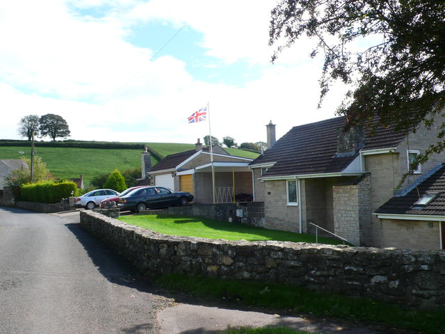
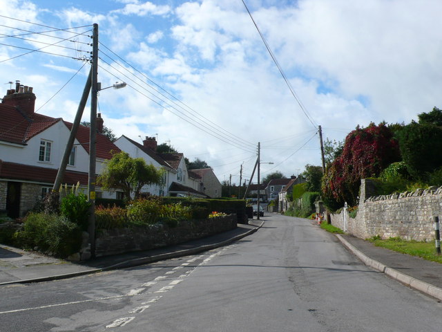
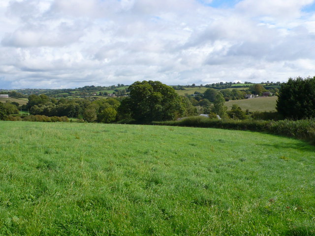
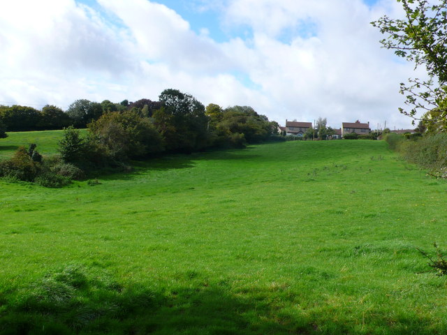
Paulton Images
Images are sourced within 2km of 51.309172/-2.486105 or Grid Reference ST6656. Thanks to Geograph Open Source API. All images are credited.
Paulton is located at Grid Ref: ST6656 (Lat: 51.309172, Lng: -2.486105)
Unitary Authority: Bath and North East Somerset
Police Authority: Avon and Somerset
What 3 Words
///premises.boggles.stunt. Near Paulton, Somerset
Nearby Locations
Related Wikis

Paulton Rovers F.C.
Paulton Rovers Football Club is an English football club based on Winterfield Road in the growing village of Paulton near Bristol. They were established...

Bowlditch Quarry
Bowlditch Quarry (grid reference ST668558) is a 0.25 hectare geological Site of Special Scientific Interest near the village of Clandown, Bath and North...

Paulton
Paulton (English: ) is a large village and civil parish, with a population of 5,302, located to the north of the Mendip Hills, very close to Norton Radstock...
Paulton Halt railway station
Paulton Halt railway station was on the Camerton branch of the Great Western Railway in Somerset, England. It was in use from 1914 until 1925, however...
Nearby Amenities
Located within 500m of 51.309172,-2.486105Have you been to Paulton?
Leave your review of Paulton below (or comments, questions and feedback).