Paull

Civil Parish in Yorkshire

England

Paull

Across the Marshland to the West Taken at ground level, the marshland superficially looks to be uniform into the distance.  Just twenty metres or so away from the camera position there's a substantial creek - one of several before the land reaches the River Humber.
Across the Marshland to the West Credit: Andy Beecroft

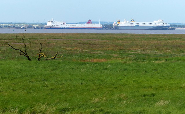
Paull is a civil parish located in the East Riding of Yorkshire, England. Situated on the northern bank of the River Humber, it is approximately 10 miles east of the city of Hull. The parish covers an area of around 2 square miles and is home to a small population of around 500 residents.

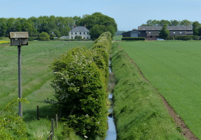
The village of Paull is steeped in history, with evidence of human habitation dating back to the Roman period. It was also a significant port during the medieval era, serving as a trading hub for goods such as wool and grain. Today, the port has diminished in importance but still retains a small marina that caters to leisure boating.

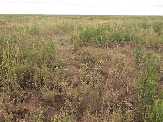
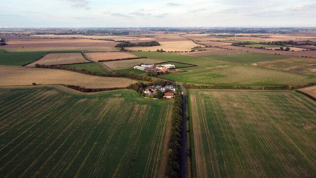
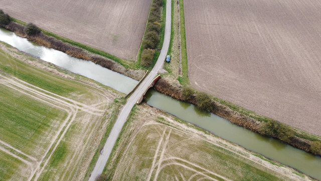
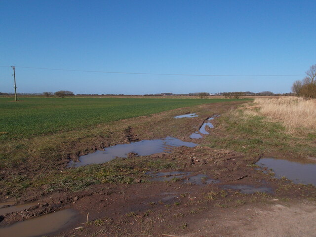
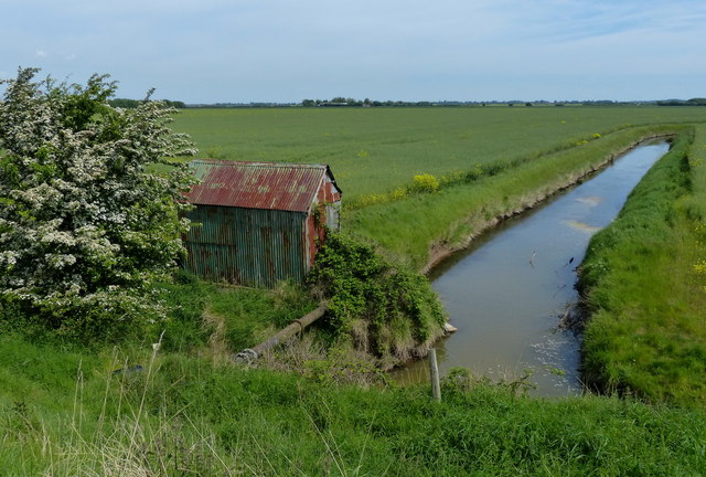
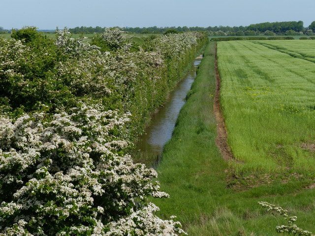
The landscape of Paull is predominantly rural, with agricultural fields and open spaces surrounding the village. The village itself is characterized by a mix of traditional cottages, newer residential developments, and a few local amenities. These amenities include a village hall, a primary school, a pub, and a post office.

Paull is well-connected to nearby towns and cities by road, with the A1033 providing easy access to Hull and the wider region. The village also benefits from public transportation, with regular bus services connecting it to surrounding areas.

Overall, Paull offers a peaceful and picturesque setting for residents and visitors alike, with its rich history, rural charm, and proximity to the River Humber providing a unique sense of place.

If you have any feedback on the listing, please let us know in the comments section below.
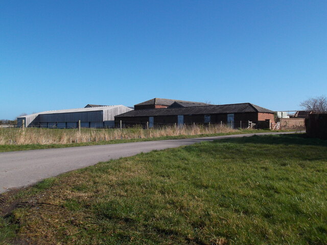
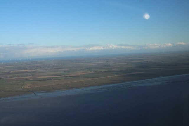
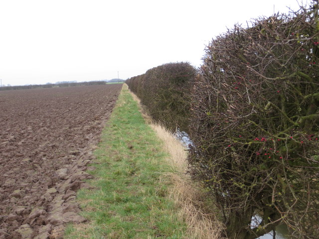
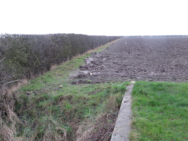
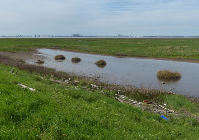
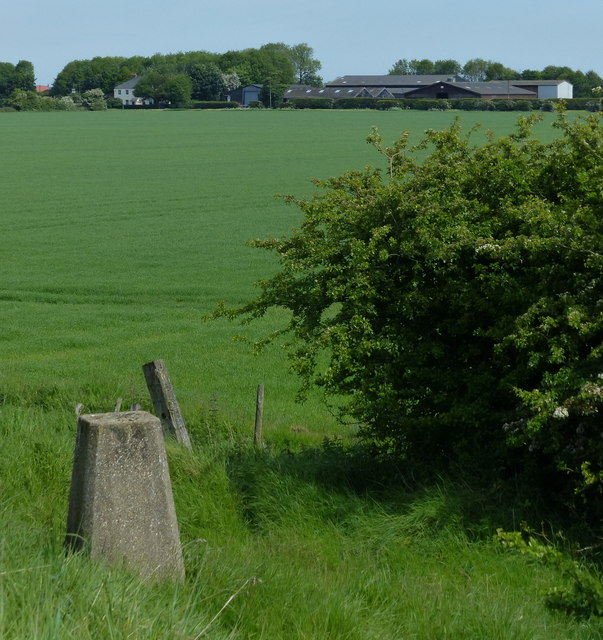
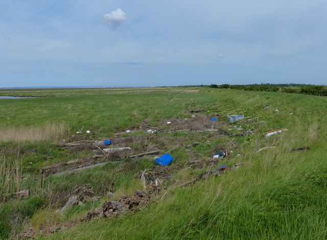
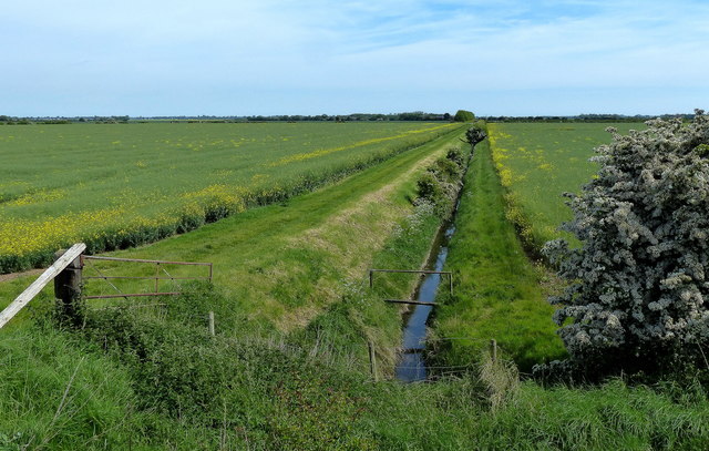
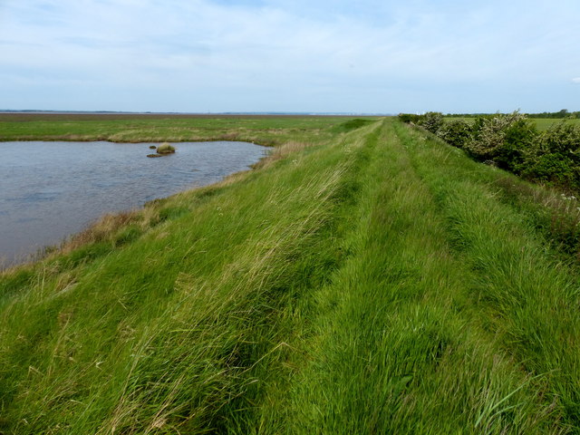
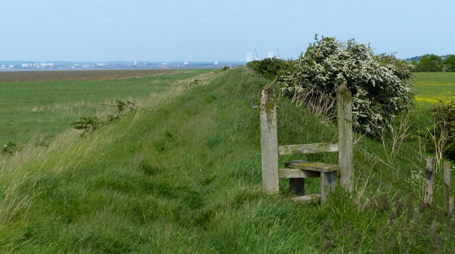
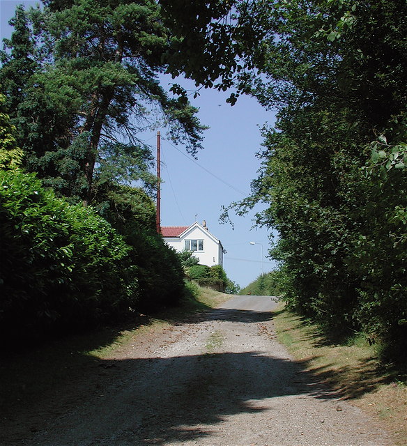
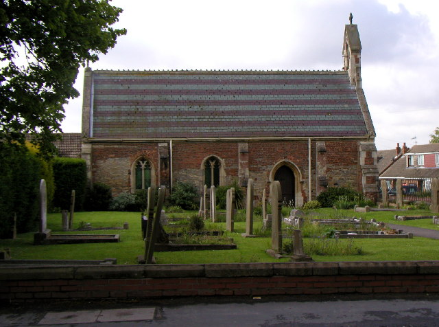
Paull Images

Images are sourced within 2km of 53.689052/-0.180005 or Grid Reference TA2022. Thanks to Geograph Open Source API. All images are credited.

Across the Marshland to the West Taken at ground level, the marshland superficially looks to be uniform into the distance.  Just twenty metres or so away from the camera position there's a substantial creek - one of several before the land reaches the River Humber.
Across the Marshland to the West
Taken at ground level, the marshland superficially looks to be uniform into the distance. Just twenty metres or so away from the camera position there's a substantial creek - one of several before the land reaches the River Humber.
Housing Crescent and Thorney Crofts Farm The photo was taken from 100m high and shows the typical flat and arable land here in South Holderness.
Housing Crescent and Thorney Crofts Farm
The photo was taken from 100m high and shows the typical flat and arable land here in South Holderness.
Sands Bridge from the Air The bridge crosses the Stone Creek to Keyingham road.
Sands Bridge from the Air
The bridge crosses the Stone Creek to Keyingham road.
Field path off Bellcroft Lane
Farm buildings at Thorney Crofts
Humber North Bank south of Paull: aerial 2024 (1)
Ploughed field and hedge at Cherry Cobb Sands Looking north-eastward.
Ploughed field and hedge at Cherry Cobb Sands
Looking north-eastward.
Ploughed field and hedge viewed from bridge over Cherry Cobb Sands Drain Looking south-westward.
Ploughed field and hedge viewed from bridge over Cherry Cobb Sands Drain
Looking south-westward.
New House Farm viewed from the Humber sea defences
Old pump house and drain Tucked away behind the Humber sea defences at Foulholme Sands.
Old pump house and drain
Tucked away behind the Humber sea defences at Foulholme Sands.
Drain behind the Cherry Cobb Sands Bank
View across the salt marsh and the Humber estuary The ships are moored at the Humber Sea Terminal at North Killingholme Haven.
View across the salt marsh and the Humber estuary
The ships are moored at the Humber Sea Terminal at North Killingholme Haven.
Salt marsh at the Outstray A flotsam strewn corner of salt marsh along the north shore of the Humber estuary.
Salt marsh at the Outstray
A flotsam strewn corner of salt marsh along the north shore of the Humber estuary.
Trig point at the Outstray Along the Humber estuary near New House Farm.
Trig point at the Outstray
Along the Humber estuary near New House Farm.
Flotsam on the salt marsh at the Outstray The Humber is a large tidal estuary on the east coast of Northern England. It is formed at Trent Falls, Faxfleet, by the confluence of the tidal rivers Ouse and Trent. From here to the North Sea, it forms part of the boundary between the East Riding of Yorkshire on the north bank and North Lincolnshire and North East Lincolnshire on the south bank. Although the Humber is an estuary from the point at which it is formed, many maps show it as the River Humber.
Below Trent Falls, the Humber passes the confluence of the River Ancholme on the south shore; between North Ferriby and South Ferriby and under the Humber Bridge; between Barton-upon-Humber on the south bank and Kingston upon Hull on the north bank (where the River Hull joins), then meets the North Sea between Cleethorpes on the Lincolnshire side and the long and thin (but rapidly changing) headland of Spurn Head to the north.
Ports on the Humber include Kingston upon Hull (better known as simply Hull), Grimsby, Immingham, New Holland and Killingholme. The estuary is navigable here for the largest of deep-sea vessels.
Flotsam on the salt marsh at the Outstray
The Humber is a large tidal estuary on the east coast of Northern England. It is formed at Trent Falls, Faxfleet, by the confluence of the tidal rivers Ouse and Trent. From here to the North Sea, it forms part of the boundary between the East Riding of Yorkshire on the north bank and North Lincolnshire and North East Lincolnshire on the south bank. Although the Humber is an estuary from the point at which it is formed, many maps show it as the River Humber. Below Trent Falls, the Humber passes the confluence of the River Ancholme on the south shore; between North Ferriby and South Ferriby and under the Humber Bridge; between Barton-upon-Humber on the south bank and Kingston upon Hull on the north bank (where the River Hull joins), then meets the North Sea between Cleethorpes on the Lincolnshire side and the long and thin (but rapidly changing) headland of Spurn Head to the north. Ports on the Humber include Kingston upon Hull (better known as simply Hull), Grimsby, Immingham, New Holland and Killingholme. The estuary is navigable here for the largest of deep-sea vessels.
Drain and farmland near New House Farm
Sea defences along the Humber estuary shoreline A footpath runs along the top of the sea defences, travelling for over six and a half miles from Stone Creek to Fort Paul.
Sea defences along the Humber estuary shoreline
A footpath runs along the top of the sea defences, travelling for over six and a half miles from Stone Creek to Fort Paul.
Stile on the Humber flood defences A footpath runs along the top of the sea defences, travelling for over six and a half miles from Stone Creek to Fort Paul.
Stile on the Humber flood defences
A footpath runs along the top of the sea defences, travelling for over six and a half miles from Stone Creek to Fort Paul.
Show me another place!

Paull is located at Grid Ref: TA2022 (Lat: 53.689052, Lng: -0.180005)

Division: East Riding

Unitary Authority: East Riding of Yorkshire

Police Authority: Humberside

What 3 Words

///void.salaried.rocky. Near Thorngumbald, East Yorkshire

Nearby Locations

Paull

Related Wikis

Paull Holme Tower

Paull Holme Tower is an unusual late-medieval fortified tower in the East Riding of Yorkshire, England. == History == The tower is part of a rectangular...

Ryehill, East Riding of Yorkshire

Ryehill is a hamlet in the East Riding of Yorkshire, England, in an area known as Holderness. It is situated approximately 7 miles (11 km) east of Hull...

Thorngumbald

Thorngumbald is a village and civil parish in the East Riding of Yorkshire, England, in an area known as Holderness, 8 miles (13 km) east of Hull on the...

A1033 road

The A1033 road is a main arterial route across Kingston upon Hull and the East Riding of Yorkshire connecting Hull with Withernsea. The road carries traffic...

Nearby Amenities

Located within 500m of 53.689052,-0.180005
Passing Place
Lat/Long: 53.6900057/-0.178682
Passing Place
Lat/Long: 53.6885146/-0.1751589
Passing Place
Lat/Long: 53.6912063/-0.1814955
The data included in this document is from www.openstreetmap.org. The data is made available under ODbL.

Have you been to Paull?

Leave your review of Paull below (or comments, questions and feedback).