Otterburn

Civil Parish in Yorkshire Craven

England

Otterburn

Lightning Tree on the Road to Otterburn Situated on the road from Airton to Otterburn.
Lightning Tree on the Road to Otterburn Credit: Andy Beecroft

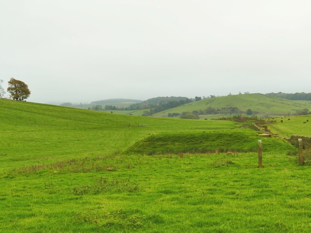
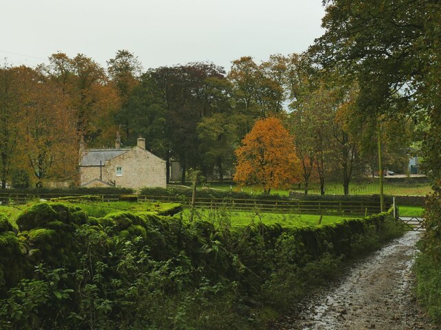
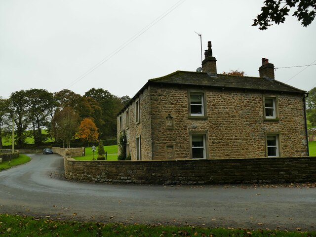
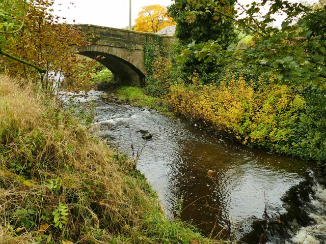
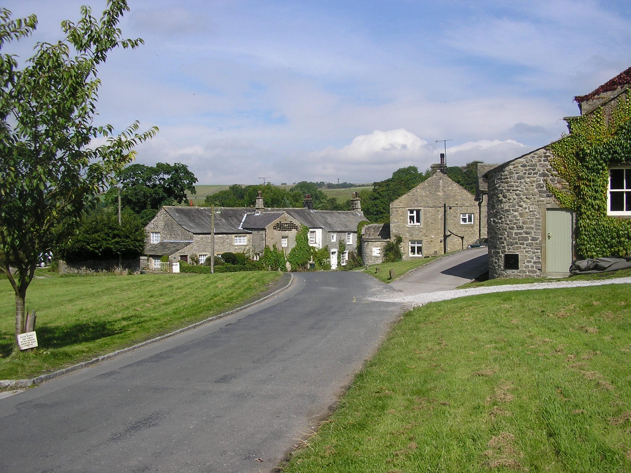
Otterburn is a civil parish located in the county of Yorkshire, England. Situated in the district of Harrogate, it is a small rural community with a population of around 200 residents. The parish covers an area of approximately 4 square miles and is surrounded by picturesque countryside, offering stunning views and a peaceful environment.

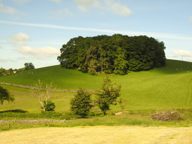
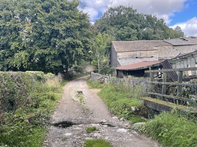
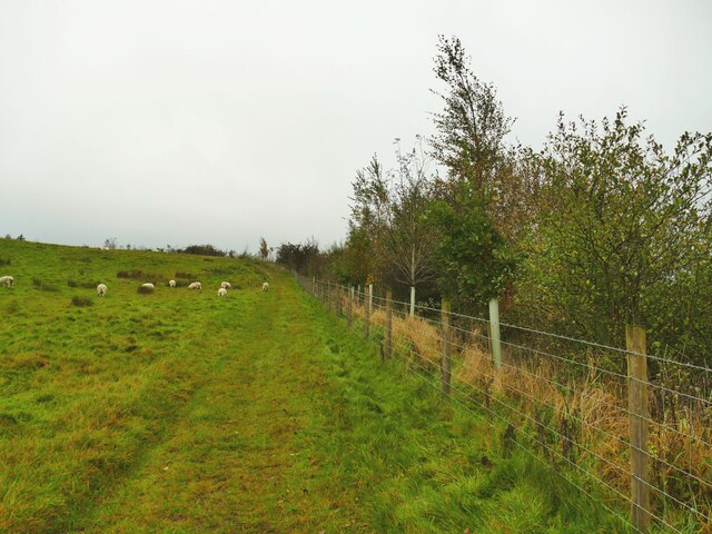
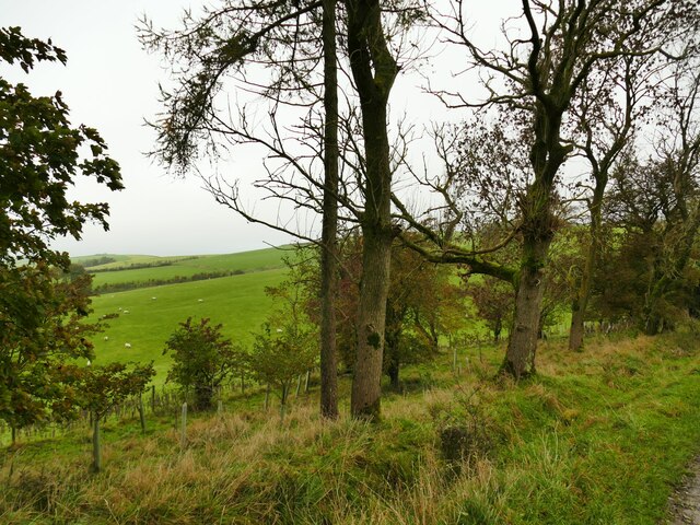
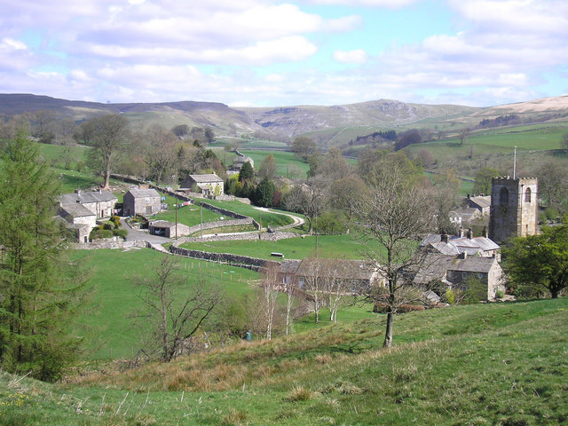
The village of Otterburn itself is nestled in the heart of the parish and is characterized by its charming stone-built houses, giving it a quintessential English feel. The parish is primarily agricultural, with farming being the main occupation of its inhabitants. The fertile land is ideal for livestock grazing and arable farming.

Despite its small size, Otterburn boasts a strong sense of community and is home to a variety of amenities. The village has a local pub, providing a social hub for residents and visitors alike. Additionally, there is a primary school, ensuring that education is easily accessible for families within the parish.

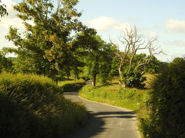
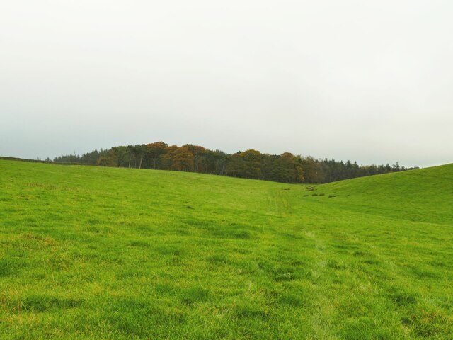
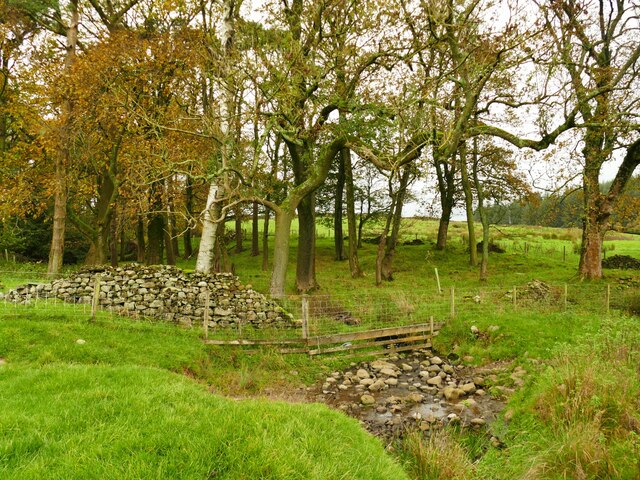
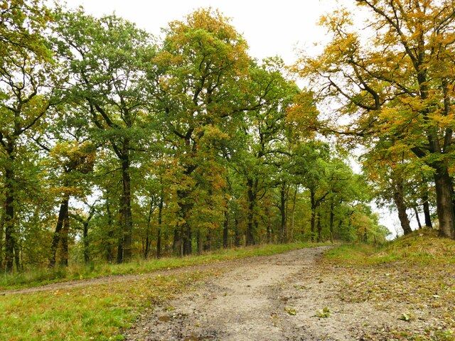
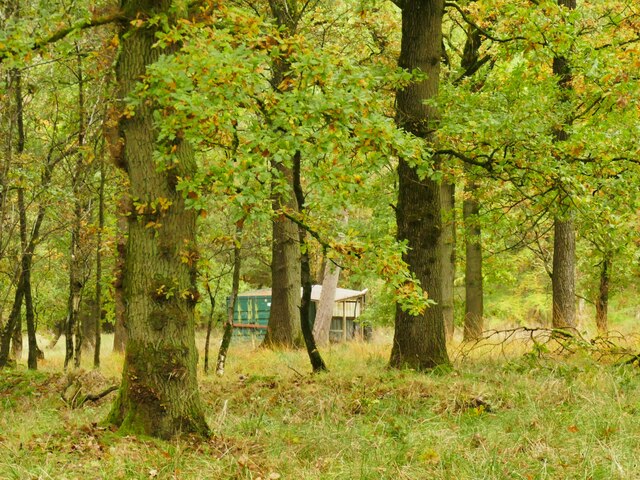
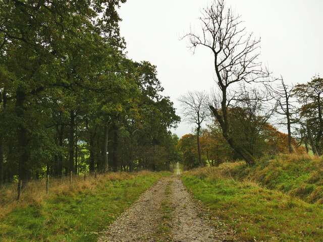
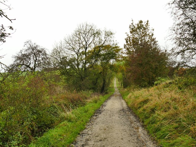
The natural beauty of the area makes it an attractive destination for outdoor enthusiasts. The surrounding countryside offers ample opportunities for walking, cycling, and wildlife spotting. Otterburn is also within close proximity to the popular Nidderdale Area of Outstanding Natural Beauty, which further enhances its appeal.

Overall, Otterburn, Yorkshire (Civil Parish) is a tranquil and close-knit community, offering a peaceful rural lifestyle, stunning scenery, and a strong sense of community spirit.

If you have any feedback on the listing, please let us know in the comments section below.

Otterburn Images

Images are sourced within 2km of 54.019104/-2.181026 or Grid Reference SD8858. Thanks to Geograph Open Source API. All images are credited.

Lightning Tree on the Road to Otterburn Situated on the road from Airton to Otterburn.
Lightning Tree on the Road to Otterburn
Situated on the road from Airton to Otterburn.
Hillside Copse near Otterburn
Ford and Cat at Kirk Syke Farm This ford is found on Kirk Syke Lane. Another image when the ford was not so dry can be viewed at:
<a title="https://www.geograph.org.uk/photo/2838230" href="https://www.geograph.org.uk/photo/2838230">Link</a>
Ford and Cat at Kirk Syke Farm
This ford is found on Kirk Syke Lane. Another image when the ford was not so dry can be viewed at: Link
Hellifield Water Treatment Works The facility on Haw Lane is a very small one, and (at an informed guess having worked in the industry) probably just doses with chlorine the water coming down from the small service reservoir on the slopes of Wenningber <a href="https://www.geograph.org.uk/photo/2837501">SD8658 : Reservoir on Hellifield Moor</a>.
Hellifield Water Treatment Works
The facility on Haw Lane is a very small one, and (at an informed guess having worked in the industry) probably just doses with chlorine the water coming down from the small service reservoir on the slopes of Wenningber SD8658 : Reservoir on Hellifield Moor.
Highland cattle peeking over a wall The others in the field appeared to be bullocks rather than cows, so I presume these are too.
Highland cattle peeking over a wall
The others in the field appeared to be bullocks rather than cows, so I presume these are too.
Young trees alongside Hellifield Beck A sign on the fence announces this to be a conservation project by the Ribble Rivers Trust (the corporate social responsibility arm of Hanson Cement) <span class="nowrap"><a title="https://ribbletrust.org.uk/" rel="nofollow ugc noopener" href="https://ribbletrust.org.uk/">Link</a><img style="margin-left:2px;" alt="External link" title="External link - shift click to open in new window" src="https://s1.geograph.org.uk/img/external.png" width="10" height="10"/></span>
Young trees alongside Hellifield Beck
A sign on the fence announces this to be a conservation project by the Ribble Rivers Trust (the corporate social responsibility arm of Hanson Cement) LinkExternal link
Service reservoir on Wenningber This is shown as a 'tank' on maps from 1909. At a guess it's a spring collection tank that feeds water (or used to) to the Hellifield area via the small treatment plant on Haw Lane <a href="https://www.geograph.org.uk/photo/7639186">SD8657 : Hellifield Water Treatment Works</a>.
Service reservoir on Wenningber
This is shown as a 'tank' on maps from 1909. At a guess it's a spring collection tank that feeds water (or used to) to the Hellifield area via the small treatment plant on Haw Lane SD8657 : Hellifield Water Treatment Works.
Pennine watershed above Hellifield It doesn't look obvious, but the top of this wet field forming a low slack or col between Wenningber and Butter Haw hills is on the watershed of the Pennines (and therefore of Northern England). The end behind the photographer is the source of Hellifield Beck which flows into the Ribble and ultimately the Irish Sea, while the plantation in the distance is at the head of Crook Beck, a tributary of the Aire, and ultimately the Humber Estuary.
Pennine watershed above Hellifield
It doesn't look obvious, but the top of this wet field forming a low slack or col between Wenningber and Butter Haw hills is on the watershed of the Pennines (and therefore of Northern England). The end behind the photographer is the source of Hellifield Beck which flows into the Ribble and ultimately the Irish Sea, while the plantation in the distance is at the head of Crook Beck, a tributary of the Aire, and ultimately the Humber Estuary.
Crook Beck emerges from a copse The Crook Beck is a tributary of the Aire, and ultimately the Humber Estuary.
Crook Beck emerges from a copse
The Crook Beck is a tributary of the Aire, and ultimately the Humber Estuary.
Path junction on Dacre Lane Dacre Lane, bending right here towards Otterburn village, is a public footpath. To the left is a private road into Crook Beck Plantation.
Path junction on Dacre Lane
Dacre Lane, bending right here towards Otterburn village, is a public footpath. To the left is a private road into Crook Beck Plantation.
Hut in the woods below Tranlinber Seen from the public footpath (Dacre Lane).
Hut in the woods below Tranlinber
Seen from the public footpath (Dacre Lane).
Looking down Dacre Lane The track is dead straight for 650 metres from this point.
Looking down Dacre Lane
The track is dead straight for 650 metres from this point.
View towards Crossber from Dacre Lane The post-glacial drumlins in this area are sheep pasture country.
View towards Crossber from Dacre Lane
The post-glacial drumlins in this area are sheep pasture country.
Dacre Lane, looking north-west Part of a long route linking Otterburn to Settle.
Dacre Lane, looking north-west
Part of a long route linking Otterburn to Settle.
Young oaks alongside Dacre Lane New oaks have been planted in among mature trees.
Young oaks alongside Dacre Lane
New oaks have been planted in among mature trees.
Dacre Lane, approaching Otterburn The end of a long route from Settle.
Dacre Lane, approaching Otterburn
The end of a long route from Settle.
House on a bend in Hellifield Road  My eye was caught by the small, blocked, arched opening between ground and first floor window levels. I wonder what that was for?
House on a bend in Hellifield Road
My eye was caught by the small, blocked, arched opening between ground and first floor window levels. I wonder what that was for?
Otterburn Bridge  The grade II listed bridge is dated to the late 18th or early 19th century. List entry 1132058.
Otterburn Bridge
The grade II listed bridge is dated to the late 18th or early 19th century. List entry 1132058.
Show me another place!

Otterburn is located at Grid Ref: SD8858 (Lat: 54.019104, Lng: -2.181026)

Division: West Riding

Administrative County: North Yorkshire

District: Craven

Police Authority: North Yorkshire

What 3 Words

///plots.sand.minivans. Near Hellifield, North Yorkshire

Related Wikis

Otterburn, North Yorkshire

Otterburn (historically known as Otterburn-in-Craven) is a village and civil parish in the Craven district of North Yorkshire, England. It is at OS Grid...

Scosthrop

Scosthrop is a civil parish in the Craven district of North Yorkshire, England. The population as taken at the 2011 Census was less than 100. Details are...

Aire Gap

Aire Gap is a pass through the Pennines in England formed by geologic faults and carved out by glaciers. The term is used to describe a geological division...

Airton

Airton (also known as Airton-in-Craven) is a small village and civil parish in the Craven district of North Yorkshire, England, situated 10 miles (16 km...

Bell Busk railway station

Bell Busk railway station served the hamlet of Bell Busk in North Yorkshire, England. It was located on the Leeds to Morecambe Line between Gargrave and...

Kirkby Malham

Kirkby Malham is a small village and civil parish in the Craven district of North Yorkshire, England. Situated in the Yorkshire Dales it lies 5 miles...

Bell Busk

Bell Busk is a hamlet situated in the Craven district of North Yorkshire, England. The hamlet is located at the southern end of Malhamdale where the nascent...

Calton, North Yorkshire

Calton is a village and civil parish in the Craven district of North Yorkshire, England, on the River Aire in Airedale. In both the 2001 and 2011 Censuses...

Nearby Amenities

Located within 500m of 54.019104,-2.181026
Otterburn
Is In: UK, Yorkshire, North Yorkshire, Airedale
Is In Country Code: GB
Is In County: North Yorkshire
Is In Historic County: Yorkshire
Is In Municipality: Craven
Is In Valley: Airedale
Place: hamlet
Postal Code: BD23
Wikidata: Q1838602
Wikipedia: en:Otterburn, North Yorkshire
Lat/Long: 54.0163093/-2.179112
Sweetber
Natural: peak
Source: OS 1:25k
Lat/Long: 54.0229326/-2.1828658
tumulus
Archaeological Site: tumulus
Historic: archaeological_site
Source: OS 1:25k;OS sheet 150,publ 1853
Lat/Long: 54.0207612/-2.1780966
Post Box
Operator: Royal Mail
Post Box Type: wall
Ref: BD23 83
Royal Cypher: EIIR
Royal Cypher Wikidata: Q33102113
Source: GPS survey
Lat/Long: 54.0158392/-2.1798407
Hiking: yes
Information: guidepost
Source: GPS Survey
Tourism: information
Lat/Long: 54.0157518/-2.1799479
Abandoned Man Made: kiln
Building Condition: ruinous
Historic: yes
Mineral: limestone
Product: lime
Source: OS sheet 150,publ 1853
Lat/Long: 54.0219912/-2.1781902
Power: pole
Source: Bing
Lat/Long: 54.0146061/-2.1809363
West Riding boundary marker
Boundary: marker
Inscription: WR
Lat/Long: 54.0158235/-2.1798433
Power: pole
Lat/Long: 54.0157841/-2.1799305
Power: pole
Lat/Long: 54.0154587/-2.1799909
Power: pole
Lat/Long: 54.0154082/-2.1797307
Power: pole
Lat/Long: 54.0150304/-2.1798091
Power: pole
Lat/Long: 54.0150702/-2.1796033
Power: pole
Source: Bing
Lat/Long: 54.0155941/-2.1849235
Power: pole
Source: Bing
Lat/Long: 54.0160209/-2.1837147
Power: pole
Source: Bing
Lat/Long: 54.0166275/-2.181982
Power: pole
Source: Bing
Lat/Long: 54.0169902/-2.1813127
Power: pole
Source: Bing
Lat/Long: 54.0174885/-2.1803815
Power: pole
Source: Bing
Lat/Long: 54.0181378/-2.1791546
Power: pole
Source: Bing
Lat/Long: 54.0186956/-2.178117
Power: pole
Source: Bing
Lat/Long: 54.0191268/-2.177331
Power: pole
Source: Bing
Lat/Long: 54.0196282/-2.1763765
Power: pole
Source: Bing
Lat/Long: 54.0201616/-2.1754038
Power: pole
Source: Bing
Lat/Long: 54.020695/-2.1744285
Power: pole
Source: Bing
Lat/Long: 54.0210638/-2.1747942
Power: pole
Source: Bing
Lat/Long: 54.0214005/-2.1751236
Power: pole
Source: Bing
Lat/Long: 54.0220192/-2.1757539
Power: pole
Source: Bing
Lat/Long: 54.0226181/-2.1763479
Power: pole
Source: Bing
Lat/Long: 54.0155621/-2.182825
Power: pole
Source: Bing
Lat/Long: 54.0150378/-2.1818315
The data included in this document is from www.openstreetmap.org. The data is made available under ODbL.

Have you been to Otterburn?

Leave your review of Otterburn below (or comments, questions and feedback).