Firbank Plantation

Wood, Forest in Yorkshire Craven

England

Firbank Plantation

Lightning Tree on the Road to Otterburn Situated on the road from Airton to Otterburn.
Lightning Tree on the Road to Otterburn Credit: Andy Beecroft

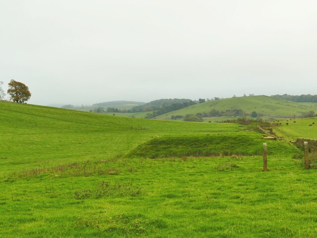
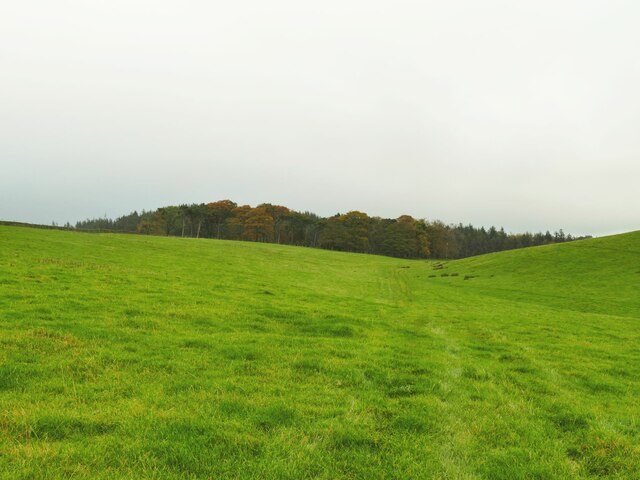
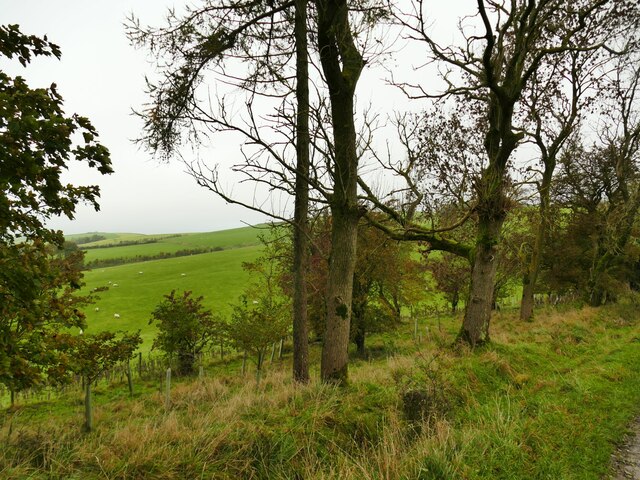
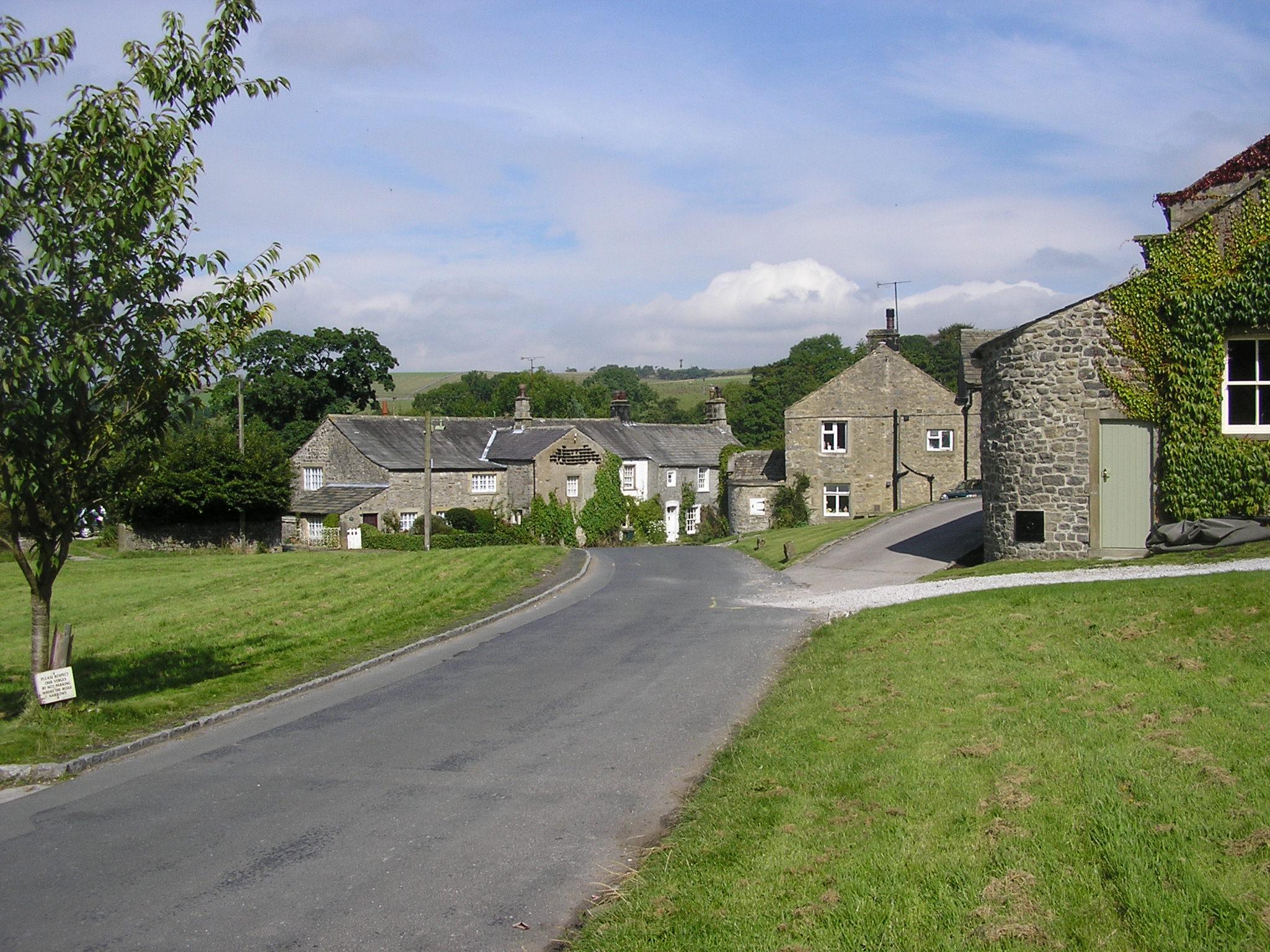
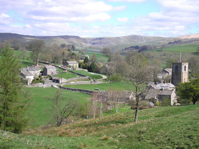
Firbank Plantation is a picturesque woodland located in the county of Yorkshire, England. Situated in the heart of the county, it covers an area of approximately 100 acres and offers visitors a unique opportunity to immerse themselves in the natural beauty of the region.

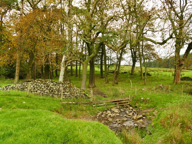
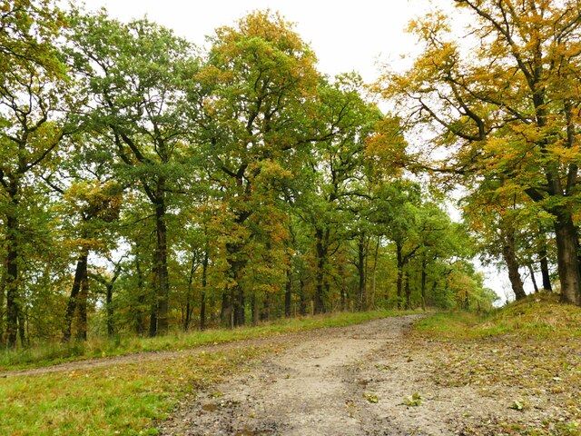
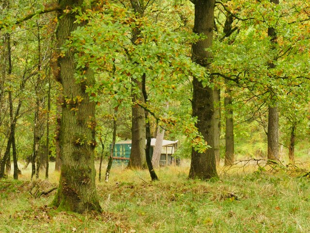
The plantation is characterized by its dense canopies of towering fir trees, providing a tranquil and serene environment for nature enthusiasts and hikers alike. The woodland floor is carpeted with a variety of wildflowers and ferns, creating a vibrant and colorful landscape throughout the year.

As visitors explore the plantation, they will encounter a diverse range of wildlife. The woodland is home to a plethora of bird species, including woodpeckers, owls, and various songbirds. Squirrels scurry among the trees, while rabbits and foxes can occasionally be spotted darting through the undergrowth.

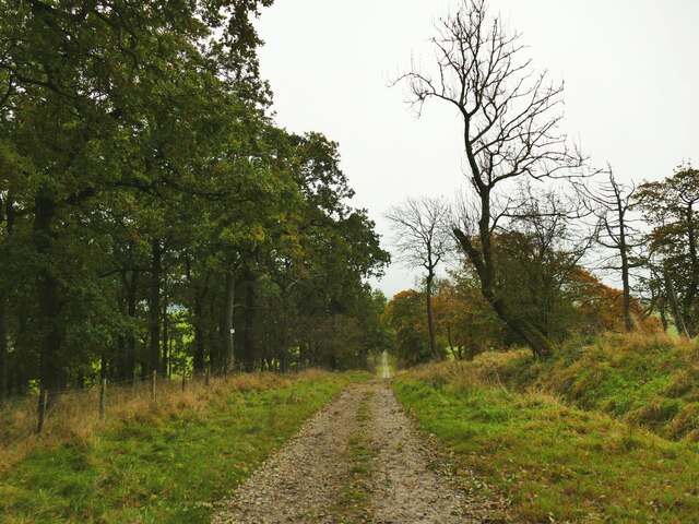
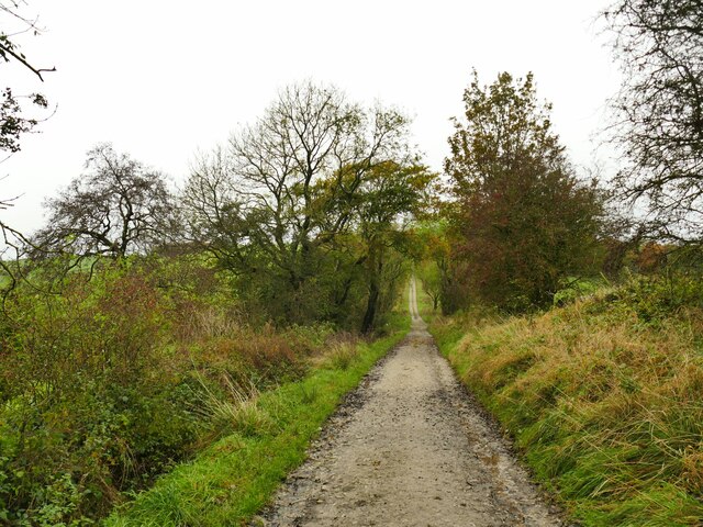
Firbank Plantation also boasts a network of well-maintained walking trails, allowing visitors to fully appreciate the beauty of the woodland. These paths cater to all levels of fitness and offer different routes to suit varying preferences, from leisurely strolls to more challenging hikes.

For those seeking a tranquil retreat, the plantation provides several secluded picnic areas where visitors can relax and enjoy the peaceful surroundings. Additionally, there are designated camping spots for those looking to extend their stay and fully immerse themselves in the natural beauty of Firbank Plantation.

Overall, Firbank Plantation is a hidden gem within Yorkshire, offering a serene escape from the bustling city life. With its stunning woodland scenery, abundant wildlife, and well-maintained trails, it is a must-visit destination for nature lovers and outdoor enthusiasts.

If you have any feedback on the listing, please let us know in the comments section below.

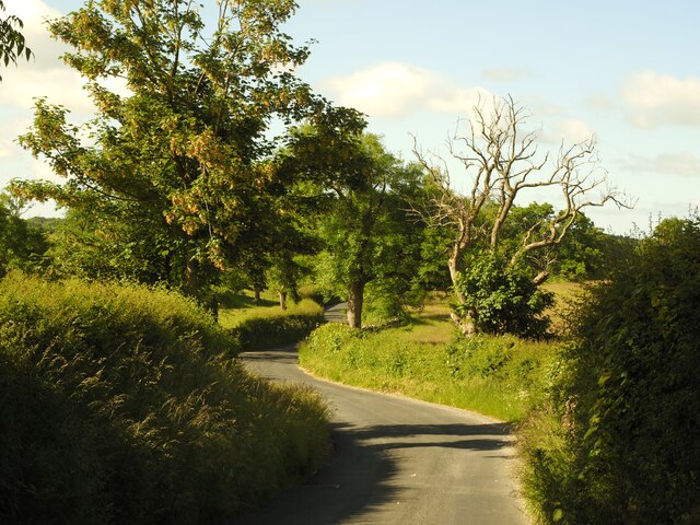
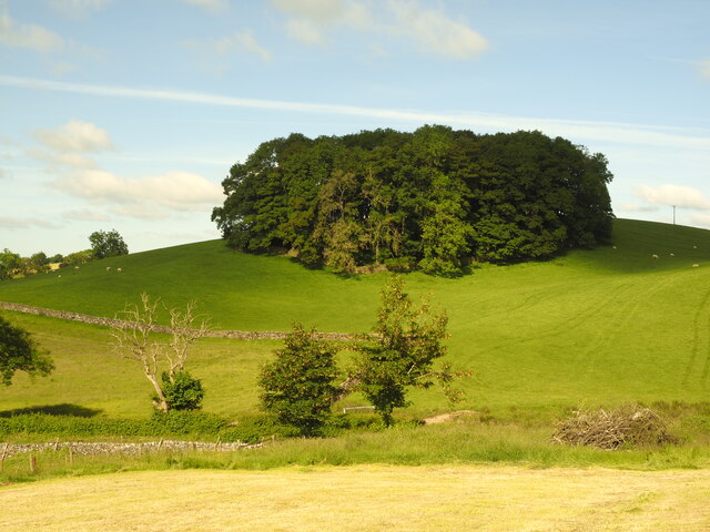
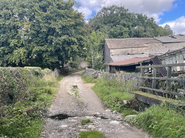
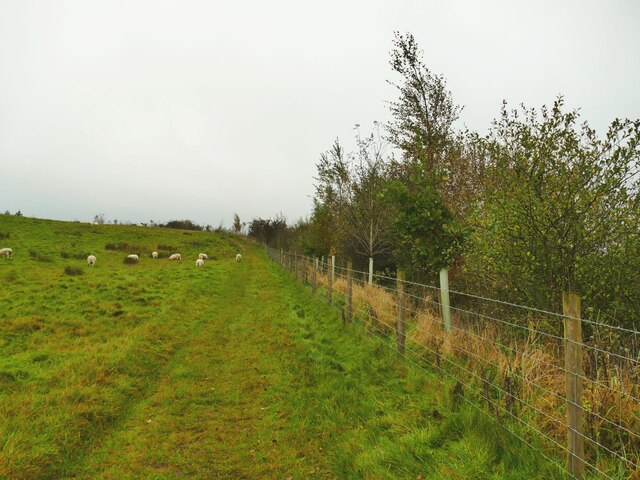
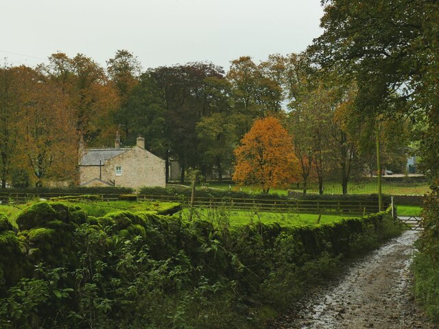
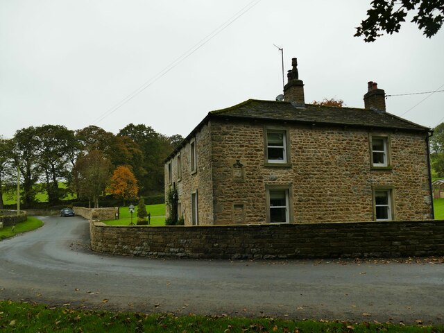
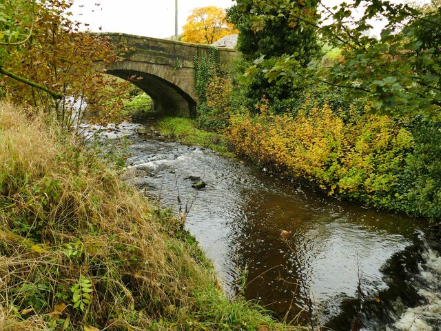
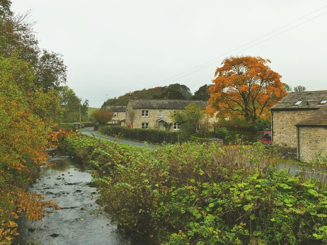
Firbank Plantation Images

Images are sourced within 2km of 54.020407/-2.1795447 or Grid Reference SD8858. Thanks to Geograph Open Source API. All images are credited.

Lightning Tree on the Road to Otterburn Situated on the road from Airton to Otterburn.
Lightning Tree on the Road to Otterburn
Situated on the road from Airton to Otterburn.
Hillside Copse near Otterburn
Ford and Cat at Kirk Syke Farm This ford is found on Kirk Syke Lane. Another image when the ford was not so dry can be viewed at:
<a title="https://www.geograph.org.uk/photo/2838230" href="https://www.geograph.org.uk/photo/2838230">Link</a>
Ford and Cat at Kirk Syke Farm
This ford is found on Kirk Syke Lane. Another image when the ford was not so dry can be viewed at: Link
Highland cattle peeking over a wall The others in the field appeared to be bullocks rather than cows, so I presume these are too.
Highland cattle peeking over a wall
The others in the field appeared to be bullocks rather than cows, so I presume these are too.
Young trees alongside Hellifield Beck A sign on the fence announces this to be a conservation project by the Ribble Rivers Trust (the corporate social responsibility arm of Hanson Cement) <span class="nowrap"><a title="https://ribbletrust.org.uk/" rel="nofollow ugc noopener" href="https://ribbletrust.org.uk/">Link</a><img style="margin-left:2px;" alt="External link" title="External link - shift click to open in new window" src="https://s1.geograph.org.uk/img/external.png" width="10" height="10"/></span>
Young trees alongside Hellifield Beck
A sign on the fence announces this to be a conservation project by the Ribble Rivers Trust (the corporate social responsibility arm of Hanson Cement) LinkExternal link
Service reservoir on Wenningber This is shown as a 'tank' on maps from 1909. At a guess it's a spring collection tank that feeds water (or used to) to the Hellifield area via the small treatment plant on Haw Lane <a href="https://www.geograph.org.uk/photo/7639186">SD8657 : Hellifield Water Treatment Works</a>.
Service reservoir on Wenningber
This is shown as a 'tank' on maps from 1909. At a guess it's a spring collection tank that feeds water (or used to) to the Hellifield area via the small treatment plant on Haw Lane SD8657 : Hellifield Water Treatment Works.
Pennine watershed above Hellifield It doesn't look obvious, but the top of this wet field forming a low slack or col between Wenningber and Butter Haw hills is on the watershed of the Pennines (and therefore of Northern England). The end behind the photographer is the source of Hellifield Beck which flows into the Ribble and ultimately the Irish Sea, while the plantation in the distance is at the head of Crook Beck, a tributary of the Aire, and ultimately the Humber Estuary.
Pennine watershed above Hellifield
It doesn't look obvious, but the top of this wet field forming a low slack or col between Wenningber and Butter Haw hills is on the watershed of the Pennines (and therefore of Northern England). The end behind the photographer is the source of Hellifield Beck which flows into the Ribble and ultimately the Irish Sea, while the plantation in the distance is at the head of Crook Beck, a tributary of the Aire, and ultimately the Humber Estuary.
Crook Beck emerges from a copse The Crook Beck is a tributary of the Aire, and ultimately the Humber Estuary.
Crook Beck emerges from a copse
The Crook Beck is a tributary of the Aire, and ultimately the Humber Estuary.
Path junction on Dacre Lane Dacre Lane, bending right here towards Otterburn village, is a public footpath. To the left is a private road into Crook Beck Plantation.
Path junction on Dacre Lane
Dacre Lane, bending right here towards Otterburn village, is a public footpath. To the left is a private road into Crook Beck Plantation.
Hut in the woods below Tranlinber Seen from the public footpath (Dacre Lane).
Hut in the woods below Tranlinber
Seen from the public footpath (Dacre Lane).
Looking down Dacre Lane The track is dead straight for 650 metres from this point.
Looking down Dacre Lane
The track is dead straight for 650 metres from this point.
View towards Crossber from Dacre Lane The post-glacial drumlins in this area are sheep pasture country.
View towards Crossber from Dacre Lane
The post-glacial drumlins in this area are sheep pasture country.
Dacre Lane, looking north-west Part of a long route linking Otterburn to Settle.
Dacre Lane, looking north-west
Part of a long route linking Otterburn to Settle.
Young oaks alongside Dacre Lane New oaks have been planted in among mature trees.
Young oaks alongside Dacre Lane
New oaks have been planted in among mature trees.
Dacre Lane, approaching Otterburn The end of a long route from Settle.
Dacre Lane, approaching Otterburn
The end of a long route from Settle.
House on a bend in Hellifield Road  My eye was caught by the small, blocked, arched opening between ground and first floor window levels. I wonder what that was for?
House on a bend in Hellifield Road
My eye was caught by the small, blocked, arched opening between ground and first floor window levels. I wonder what that was for?
Otterburn Bridge  The grade II listed bridge is dated to the late 18th or early 19th century. List entry 1132058.
Otterburn Bridge
The grade II listed bridge is dated to the late 18th or early 19th century. List entry 1132058.
View north along Otterburn Beck from the bridge The furthest of the three buildings in the photo is the Grade II listed Grove Farm.
View north along Otterburn Beck from the bridge
The furthest of the three buildings in the photo is the Grade II listed Grove Farm.
Show me another place!

Firbank Plantation is located at Grid Ref: SD8858 (Lat: 54.020407, Lng: -2.1795447)

Division: West Riding

Administrative County: North Yorkshire

District: Craven

Police Authority: North Yorkshire

What 3 Words

///access.growth.gradually. Near Hellifield, North Yorkshire

Related Wikis

Nearby Amenities

Located within 500m of 54.020407,-2.1795447
Otterburn
Is In: UK, Yorkshire, North Yorkshire, Airedale
Is In Country Code: GB
Is In County: North Yorkshire
Is In Historic County: Yorkshire
Is In Municipality: Craven
Is In Valley: Airedale
Place: hamlet
Postal Code: BD23
Wikidata: Q1838602
Wikipedia: en:Otterburn, North Yorkshire
Lat/Long: 54.0163093/-2.179112
Sweetber
Natural: peak
Source: OS 1:25k
Lat/Long: 54.0229326/-2.1828658
tumulus
Archaeological Site: tumulus
Historic: archaeological_site
Source: OS 1:25k;OS sheet 150,publ 1853
Lat/Long: 54.0207612/-2.1780966
Abandoned Man Made: kiln
Building Condition: ruinous
Historic: yes
Mineral: limestone
Product: lime
Source: OS sheet 150,publ 1853
Lat/Long: 54.0219912/-2.1781902
Power: pole
Source: Bing
Lat/Long: 54.0166275/-2.181982
Power: pole
Source: Bing
Lat/Long: 54.0169902/-2.1813127
Power: pole
Source: Bing
Lat/Long: 54.0174885/-2.1803815
Power: pole
Source: Bing
Lat/Long: 54.0181378/-2.1791546
Power: pole
Source: Bing
Lat/Long: 54.0186956/-2.178117
Power: pole
Source: Bing
Lat/Long: 54.0191268/-2.177331
Power: pole
Source: Bing
Lat/Long: 54.0196282/-2.1763765
Power: pole
Source: Bing
Lat/Long: 54.0201616/-2.1754038
Power: pole
Source: Bing
Lat/Long: 54.020695/-2.1744285
Power: pole
Source: Bing
Lat/Long: 54.0212923/-2.1733364
Power: pole
Source: Bing
Lat/Long: 54.0218333/-2.1723585
Power: pole
Source: Bing
Lat/Long: 54.0210638/-2.1747942
Power: pole
Source: Bing
Lat/Long: 54.0214005/-2.1751236
Power: pole
Source: Bing
Lat/Long: 54.0220192/-2.1757539
Power: pole
Source: Bing
Lat/Long: 54.0226181/-2.1763479
Power: pole
Source: Bing
Lat/Long: 54.0232337/-2.1770016
Power: pole
Source: Bing
Lat/Long: 54.0238585/-2.1776138
Power: pole
Source: Bing
Lat/Long: 54.0248307/-2.1785528
The data included in this document is from www.openstreetmap.org. The data is made available under ODbL.

Have you been to Firbank Plantation?

Leave your review of Firbank Plantation below (or comments, questions and feedback).