Park Hill

Hill, Mountain in Yorkshire Craven

England

Park Hill

Lightning Tree on the Road to Otterburn Situated on the road from Airton to Otterburn.
Lightning Tree on the Road to Otterburn Credit: Andy Beecroft

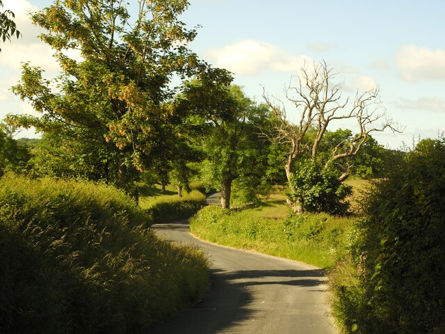
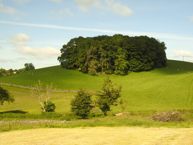
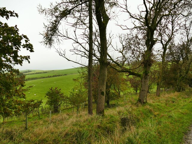
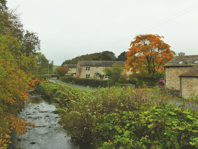
Park Hill is a picturesque hill located in Yorkshire, England. It is part of the scenic Pennines mountain range, which stretches across the northern parts of England. Standing at an elevation of approximately 1,100 feet, Park Hill offers breathtaking panoramic views of the surrounding countryside.

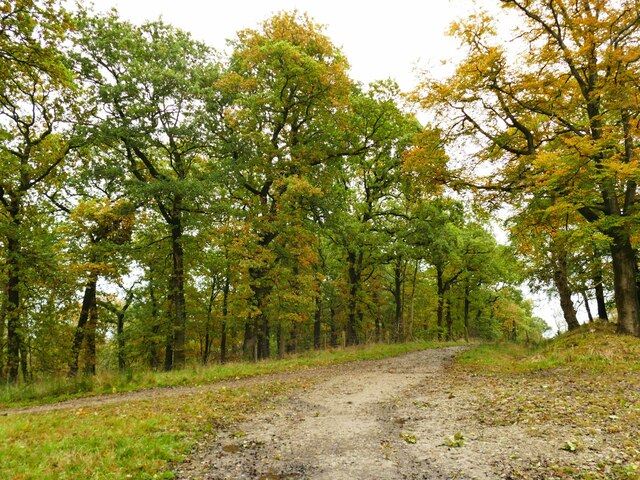
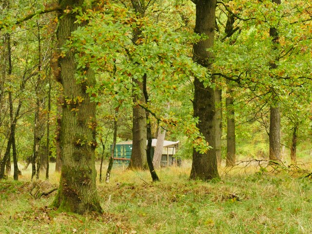
The hill is covered in lush greenery, featuring a variety of flora and fauna. It is home to numerous species of plants and trees, creating a rich and diverse ecosystem. The area is also known for its wildlife, with sightings of birds, rabbits, and occasionally deer.

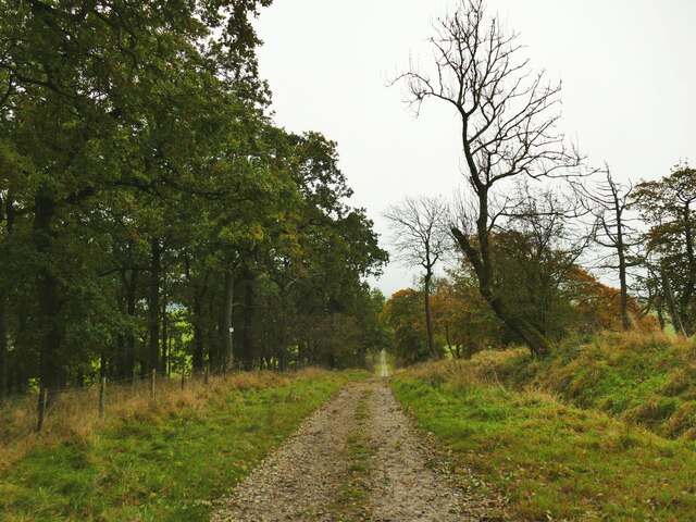
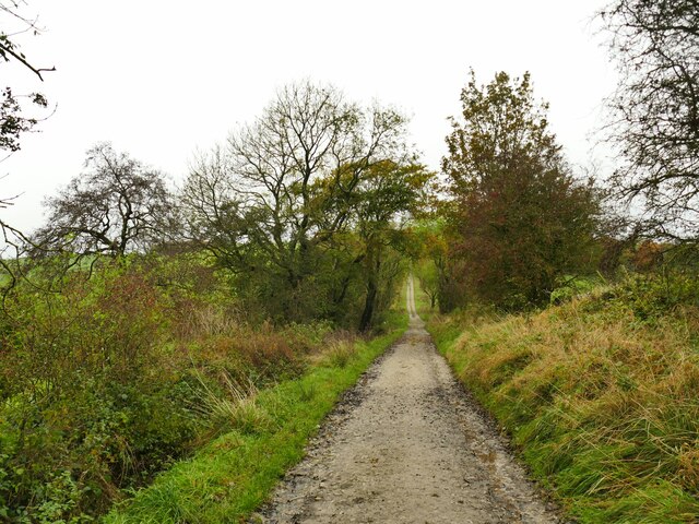
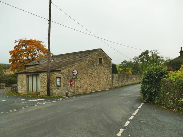
Park Hill is a popular destination for hikers and nature enthusiasts. There are several well-marked trails that lead up to the summit, allowing visitors to explore the hill at their own pace. The paths are well-maintained, making it accessible to people of all ages and fitness levels.

At the top of Park Hill, visitors are rewarded with stunning views of the surrounding Yorkshire Dales and the distant peaks of the Pennines. On clear days, it is even possible to see as far as the North Sea. The hilltop provides an ideal spot for picnics or simply to sit and admire the natural beauty of the area.

Overall, Park Hill offers a peaceful and tranquil escape from the hustle and bustle of everyday life. Whether it is for a leisurely stroll, a challenging hike, or simply to enjoy the stunning views, this Yorkshire hill is a must-visit destination for nature lovers.

If you have any feedback on the listing, please let us know in the comments section below.
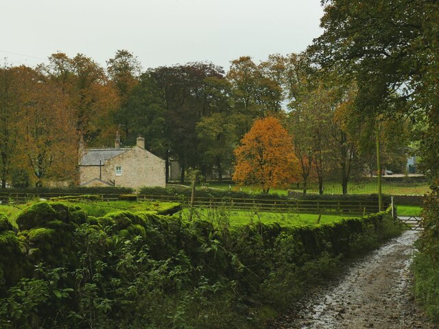
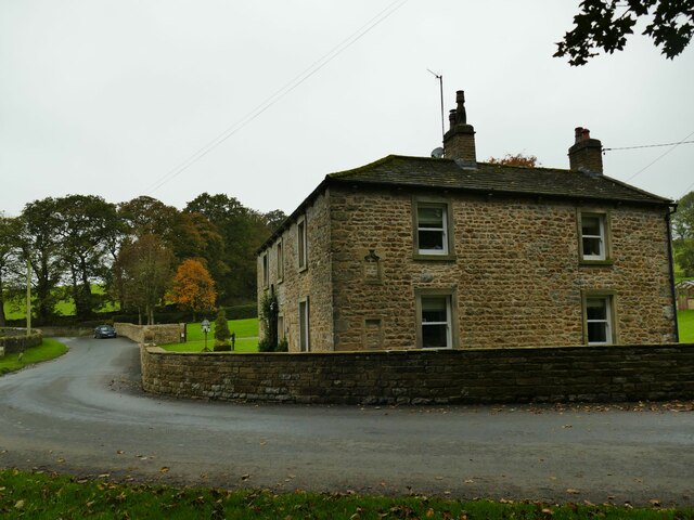
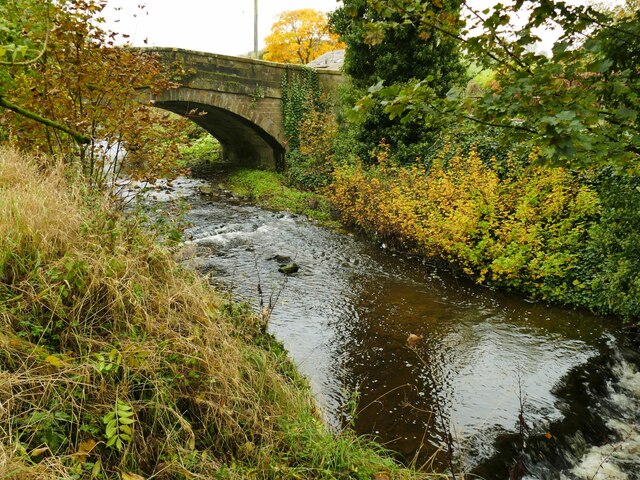
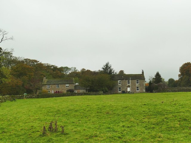
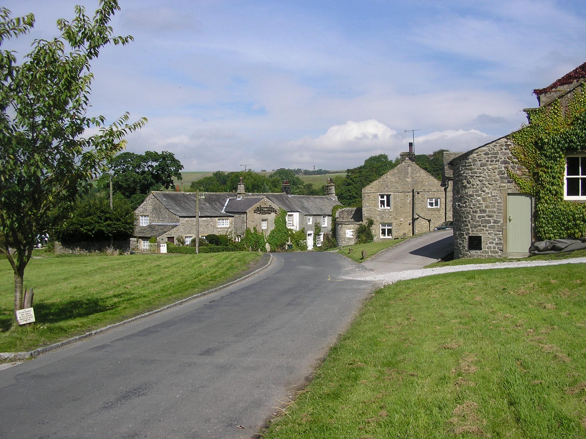
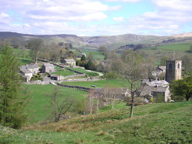
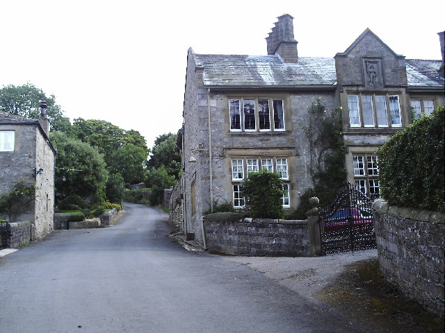
Park Hill Images

Images are sourced within 2km of 54.026412/-2.172335 or Grid Reference SD8858. Thanks to Geograph Open Source API. All images are credited.

Lightning Tree on the Road to Otterburn Situated on the road from Airton to Otterburn.
Lightning Tree on the Road to Otterburn
Situated on the road from Airton to Otterburn.
Hillside Copse near Otterburn
Ford and Cat at Kirk Syke Farm This ford is found on Kirk Syke Lane. Another image when the ford was not so dry can be viewed at:
<a title="https://www.geograph.org.uk/photo/2838230" href="https://www.geograph.org.uk/photo/2838230">Link</a>
Ford and Cat at Kirk Syke Farm
This ford is found on Kirk Syke Lane. Another image when the ford was not so dry can be viewed at: Link
Crook Beck emerges from a copse The Crook Beck is a tributary of the Aire, and ultimately the Humber Estuary.
Crook Beck emerges from a copse
The Crook Beck is a tributary of the Aire, and ultimately the Humber Estuary.
Path junction on Dacre Lane Dacre Lane, bending right here towards Otterburn village, is a public footpath. To the left is a private road into Crook Beck Plantation.
Path junction on Dacre Lane
Dacre Lane, bending right here towards Otterburn village, is a public footpath. To the left is a private road into Crook Beck Plantation.
Hut in the woods below Tranlinber Seen from the public footpath (Dacre Lane).
Hut in the woods below Tranlinber
Seen from the public footpath (Dacre Lane).
Looking down Dacre Lane The track is dead straight for 650 metres from this point.
Looking down Dacre Lane
The track is dead straight for 650 metres from this point.
View towards Crossber from Dacre Lane The post-glacial drumlins in this area are sheep pasture country.
View towards Crossber from Dacre Lane
The post-glacial drumlins in this area are sheep pasture country.
Dacre Lane, looking north-west Part of a long route linking Otterburn to Settle.
Dacre Lane, looking north-west
Part of a long route linking Otterburn to Settle.
Young oaks alongside Dacre Lane New oaks have been planted in among mature trees.
Young oaks alongside Dacre Lane
New oaks have been planted in among mature trees.
Dacre Lane, approaching Otterburn The end of a long route from Settle.
Dacre Lane, approaching Otterburn
The end of a long route from Settle.
House on a bend in Hellifield Road  My eye was caught by the small, blocked, arched opening between ground and first floor window levels. I wonder what that was for?
House on a bend in Hellifield Road
My eye was caught by the small, blocked, arched opening between ground and first floor window levels. I wonder what that was for?
Otterburn Bridge  The grade II listed bridge is dated to the late 18th or early 19th century. List entry 1132058.
Otterburn Bridge
The grade II listed bridge is dated to the late 18th or early 19th century. List entry 1132058.
View north along Otterburn Beck from the bridge The furthest of the three buildings in the photo is the Grade II listed Grove Farm.
View north along Otterburn Beck from the bridge
The furthest of the three buildings in the photo is the Grade II listed Grove Farm.
Hellifield Road out of Otterburn Note three pieces of street furniture: the road sign for a width restriction, the postbox in a wall, and the county marker (possibly relocated from the nearby bridge?) <a href="https://www.geograph.org.uk/photo/4669588">SD8857 : West Riding marker beside building at cross roads</a>. The building itself looks like an agricultural one converted to residential.
Hellifield Road out of Otterburn
Note three pieces of street furniture: the road sign for a width restriction, the postbox in a wall, and the county marker (possibly relocated from the nearby bridge?) SD8857 : West Riding marker beside building at cross roads. The building itself looks like an agricultural one converted to residential.
Cattle farm at Otterburn Hall A local website says 'Otterburn Hall Farm is a 170 hectare permanent grassland farm in Otterburn Village, bordering Otterburn Beck, with 850 breeding sheep and 40 beef cattle'. Some of the cattle could be heard in the shed here.
Cattle farm at Otterburn Hall
A local website says 'Otterburn Hall Farm is a 170 hectare permanent grassland farm in Otterburn Village, bordering Otterburn Beck, with 850 breeding sheep and 40 beef cattle'. Some of the cattle could be heard in the shed here.
Hall Barn, Otterburn A barn conversion at Otterburn Hall Farm.
Hall Barn, Otterburn
A barn conversion at Otterburn Hall Farm.
Otterburn Hall A cattle and sheep farm on the outskirts of the village. To the right is the grade II listed farmhouse (list entry 1316881) and to the left is a converted barn <a href="https://www.geograph.org.uk/photo/7640188">SD8857 : Hall Barn, Otterburn</a>.
Otterburn Hall
A cattle and sheep farm on the outskirts of the village. To the right is the grade II listed farmhouse (list entry 1316881) and to the left is a converted barn SD8857 : Hall Barn, Otterburn.
Show me another place!

Park Hill is located at Grid Ref: SD8858 (Lat: 54.026412, Lng: -2.172335)

Division: West Riding

Administrative County: North Yorkshire

District: Craven

Police Authority: North Yorkshire

What 3 Words

///shaped.romantics.words. Near Hellifield, North Yorkshire

Related Wikis

Otterburn, North Yorkshire

Otterburn (historically known as Otterburn-in-Craven) is a village and civil parish in the Craven district of North Yorkshire, England. It is at OS Grid...

Scosthrop

Scosthrop is a civil parish in the Craven district of North Yorkshire, England. The population as taken at the 2011 Census was less than 100. Details are...

Airton

Airton (also known as Airton-in-Craven) is a small village and civil parish in the Craven district of North Yorkshire, England, situated 10 miles (16 km...

Kirkby Malham

Kirkby Malham is a small village and civil parish in the Craven district of North Yorkshire, England. Situated in the Yorkshire Dales it lies 5 miles...

Calton, North Yorkshire

Calton is a village and civil parish in the Craven district of North Yorkshire, England, on the River Aire in Airedale. In both the 2001 and 2011 Censuses...

St Michael's Church, Kirkby Malham

St Michael's Church is in the village of Kirkby Malham, North Yorkshire, England. It is an active Anglican parish church in the deanery of Bowland and...

Newfield Hall

Newfield Hall is a former country house located 1 mile (1.6 km) to the southeast of the village of Airton, North Yorkshire, England. It is now a hotel...

Hanlith

Hanlith is a small village and civil parish in the Craven district of North Yorkshire, England. It is situated near Kirkby Malham and the tourist attraction...

Nearby Amenities

Located within 500m of 54.026412,-2.172335
Park Hill
Man Made: survey_point
Natural: peak
Source: OS 1:25k;OS sheet 150,publ 1853
Lat/Long: 54.0253852/-2.1733815
Barrier: stile
Material: stone
Source: survey;gps
Stile: stepover
Lat/Long: 54.0284901/-2.1756051
Barrier: stile
Source: survey;gps
Stile: ladder
Lat/Long: 54.0279231/-2.1776381
Barrier: stile
Material: stone
Source: survey;gps
Stile: stepover
Lat/Long: 54.0276498/-2.1758923
Barrier: stile
Material: stone
Source: survey;gps
Stile: stepover
Lat/Long: 54.0275801/-2.1758564
Hurries Farm CL
Addr City: Skipton
Addr Postcode: BD23 4DY
Addr Street: Helifield Road
Email: david@hurries.plus.com
Phone: +44 1729830291
Tourism: caravan_site
Lat/Long: 54.0224554/-2.1703444
Abandoned Man Made: kiln
Building Condition: ruinous
Historic: yes
Mineral: limestone
Product: lime
Source: OS sheet 150,publ 1853
Lat/Long: 54.026715/-2.1792083
Power: pole
Source: Bing
Lat/Long: 54.0223392/-2.1714299
Power: pole
Source: Bing
Lat/Long: 54.0229015/-2.1703949
Power: pole
Source: Bing
Lat/Long: 54.0239179/-2.1677698
Power: pole
Source: Bing
Lat/Long: 54.0242913/-2.1664132
Power: pole
Source: Bing
Lat/Long: 54.0226181/-2.1763479
Power: pole
Source: Bing
Lat/Long: 54.0232337/-2.1770016
Power: pole
Source: Bing
Lat/Long: 54.0238585/-2.1776138
Power: pole
Source: Bing
Lat/Long: 54.0248307/-2.1785528
Power: pole
Source: Bing
Lat/Long: 54.0254417/-2.1792324
Power: pole
Source: Bing
Lat/Long: 54.0261167/-2.179899
The data included in this document is from www.openstreetmap.org. The data is made available under ODbL.

Have you been to Park Hill?

Leave your review of Park Hill below (or comments, questions and feedback).