Osmotherley

Civil Parish in Lancashire South Lakeland

England

Osmotherley

Cumbrian landscape A patchwork of grassy fields and low hills in the distance
Cumbrian landscape Credit: Eirian Evans

The requested URL returned error: 429 Too Many Requests

If you have any feedback on the listing, please let us know in the comments section below.
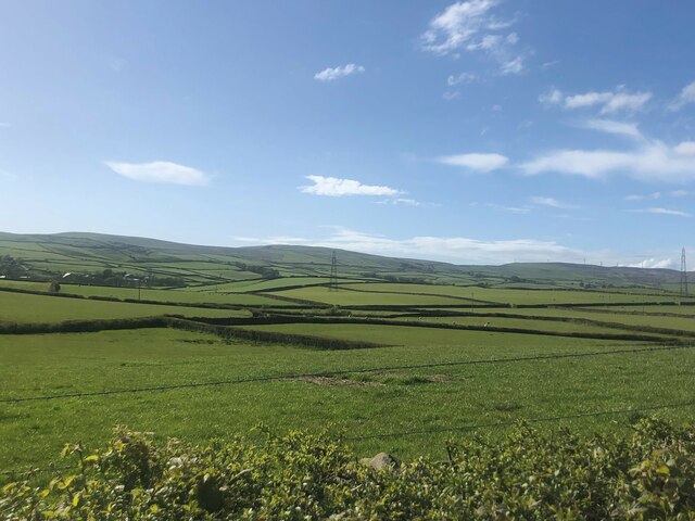
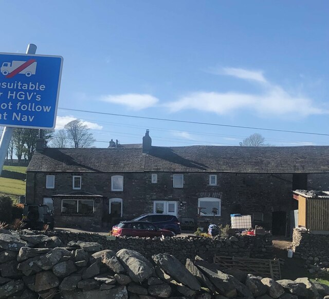
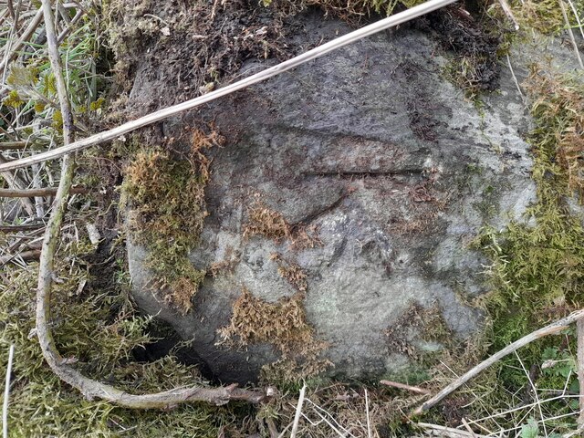
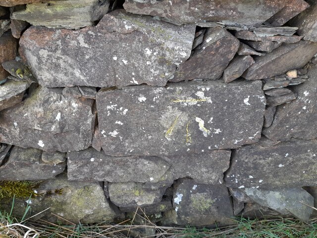
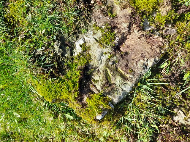
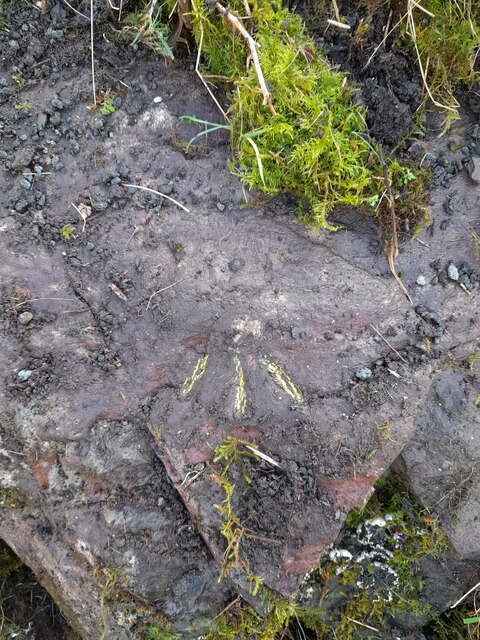
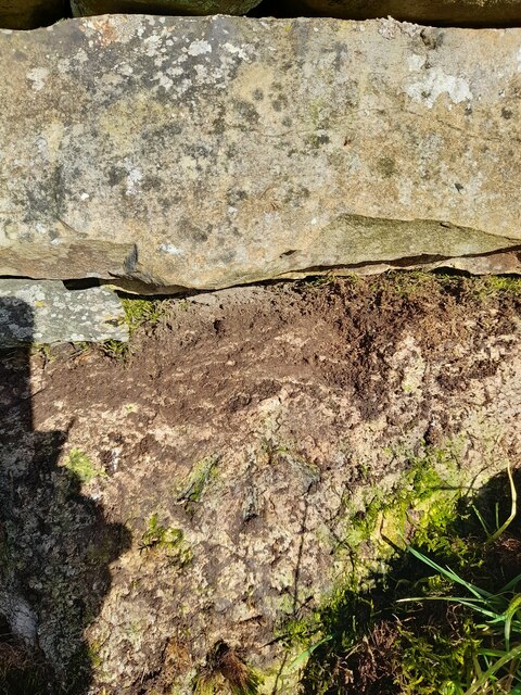
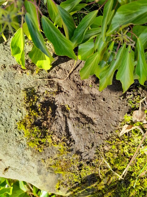
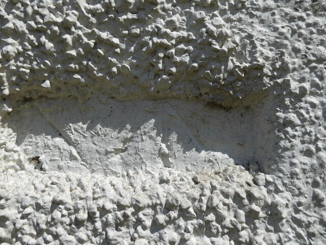
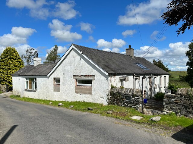
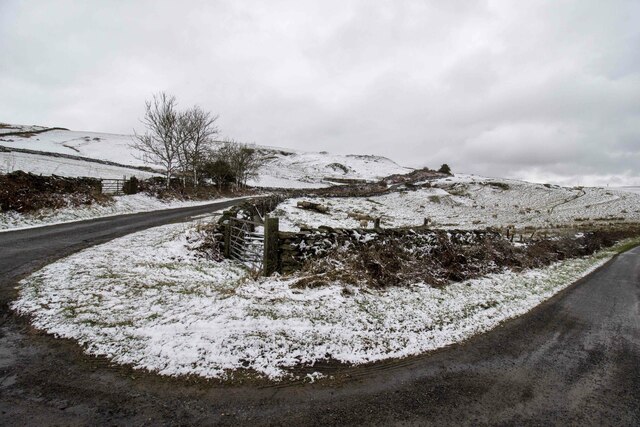
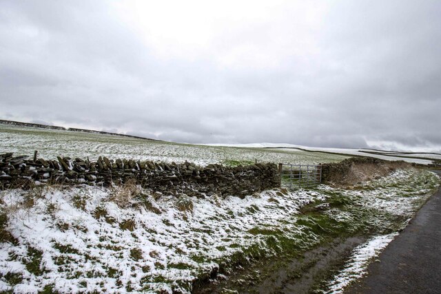
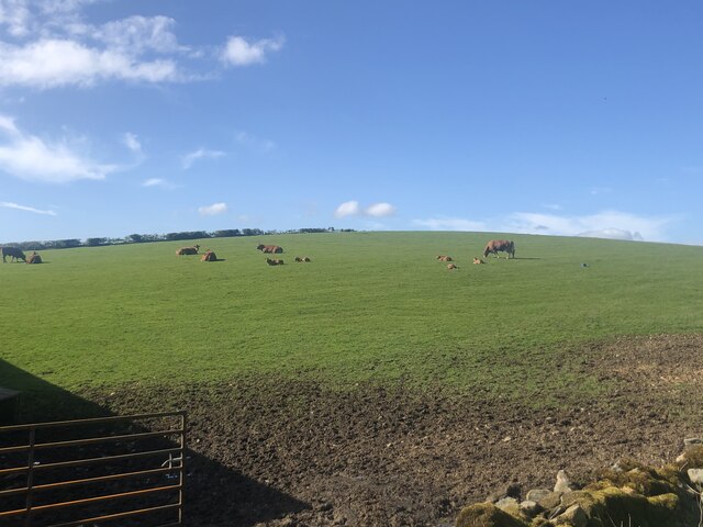
Osmotherley Images

Images are sourced within 2km of 54.219483/-3.116286 or Grid Reference SD2780. Thanks to Geograph Open Source API. All images are credited.

Cumbrian landscape A patchwork of grassy fields and low hills in the distance
Cumbrian landscape
A patchwork of grassy fields and low hills in the distance
Mansriggs Farm
Mansriggs Farm
Ordnance Survey Cut Mark This OS cut mark can be found on the NE parapet of Rathmoss Bridge. It marks a point 204.680m above mean sea level.
Ordnance Survey Cut Mark
This OS cut mark can be found on the NE parapet of Rathmoss Bridge. It marks a point 204.680m above mean sea level.
Ordnance Survey Cut Mark This OS cut mark can be found on School Cottage, Netherhouses Road. It marks a point 118.625m above mean sea level.
Ordnance Survey Cut Mark
This OS cut mark can be found on School Cottage, Netherhouses Road. It marks a point 118.625m above mean sea level.
Ordnance Survey Rivet This OS rivet can be found on the wall NE side of Netherhouses Road. It marks a point 123.328m above mean sea level.
Ordnance Survey Rivet
This OS rivet can be found on the wall NE side of Netherhouses Road. It marks a point 123.328m above mean sea level.
Ordnance Survey Cut Mark This OS cut mark can be found on the wall SE side of the road. It marks a point 229.277m above mean sea level.
Ordnance Survey Cut Mark
This OS cut mark can be found on the wall SE side of the road. It marks a point 229.277m above mean sea level.
Ordnance Survey Cut Mark This OS cut mark can be found on the wall SE side of the road. It marks a point 241.234m above mean sea level.
Ordnance Survey Cut Mark
This OS cut mark can be found on the wall SE side of the road. It marks a point 241.234m above mean sea level.
Ordnance Survey Cut Mark This OS cut mark can be found on the gatepost NE side of the road. It marks a point 216.951m above mean sea level.
Ordnance Survey Cut Mark
This OS cut mark can be found on the gatepost NE side of the road. It marks a point 216.951m above mean sea level.
Ordnance Survey Cut Mark This OS cut mark can be found on the wall SW side of the road. It marks a point 202.604m above mean sea level.
Ordnance Survey Cut Mark
This OS cut mark can be found on the wall SW side of the road. It marks a point 202.604m above mean sea level.
Ordnance Survey Rivet This OS rivet can be found on a rock in the field, east side of the road. It marks a point 173.937m above mean sea level.
Ordnance Survey Rivet
This OS rivet can be found on a rock in the field, east side of the road. It marks a point 173.937m above mean sea level.
Ordnance Survey Rivet This OS rivet can be found on the rock south side of the road. It marks a point 164.080m above mean sea level.
Ordnance Survey Rivet
This OS rivet can be found on the rock south side of the road. It marks a point 164.080m above mean sea level.
Ordnance Survey Rivet This OS rivet can be found on the wall north side of the road. It marks a point 84.302m above mean sea level.
Ordnance Survey Rivet
This OS rivet can be found on the wall north side of the road. It marks a point 84.302m above mean sea level.
Ordnance Survey Rivet This damaged OS rivet can be found on the NE parapet of the bridge. It marks a point 112.682m above mean sea level.
Ordnance Survey Rivet
This damaged OS rivet can be found on the NE parapet of the bridge. It marks a point 112.682m above mean sea level.
Benchmark, Osmotherley, School Cottage Detail of an Ordnance Survey cut benchmark on the west angle, north west face of School Cottage beside The Cumbria Way. The datum line is concealed by render. The benchmark marks a height of 118.6251m above mean sea level (Ordnance Datum Newlyn) last verified in 1968 (location photograph <a href="https://www.geograph.org.uk/photo/7216151">SD2782 : School Cottage, Osmotherley</a>).
Benchmark, Osmotherley, School Cottage
Detail of an Ordnance Survey cut benchmark on the west angle, north west face of School Cottage beside The Cumbria Way. The datum line is concealed by render. The benchmark marks a height of 118.6251m above mean sea level (Ordnance Datum Newlyn) last verified in 1968 (location photograph SD2782 : School Cottage, Osmotherley).
School Cottage, Osmotherley Undergoing extensive renovation, this cottage beside The Cumbria Way is the former Osmotherley School which closed in 1927.
There is an Ordnance Survey cut benchmark visible in a rectangular gap in the render near the west corner of the building (detail photograph <a href="https://www.geograph.org.uk/photo/7216103">SD2782 : Benchmark, Osmotherley, School Cottage</a>).
School Cottage, Osmotherley
Undergoing extensive renovation, this cottage beside The Cumbria Way is the former Osmotherley School which closed in 1927. There is an Ordnance Survey cut benchmark visible in a rectangular gap in the render near the west corner of the building (detail photograph SD2782 : Benchmark, Osmotherley, School Cottage).
Gateway to field Gateway to field near Rake Farm
Gateway to field
Gateway to field near Rake Farm
Gateway to field Gateway to field near Horrace
Gateway to field
Gateway to field near Horrace
Cattle grazing, Low Flan Farm
Show me another place!

Osmotherley is located at Grid Ref: SD2780 (Lat: 54.219483, Lng: -3.116286)

Administrative County: Cumbria

District: South Lakeland

Police Authority: Cumbria

What 3 Words

///bleaker.disposing.elastic. Near Ulverston, Cumbria

Related Wikis

Furness Fells

The Furness Fells are a multitude of hills and mountains in the Furness region of Cumbria, England. Historically part of Lancashire, the Furness Fells...

Osmotherley, Cumbria

Osmotherley is a civil parish in South Lakeland, Cumbria, England, extending north from Ulverston. The village of Broughton Beck is the largest settlement...

Broughton Beck

Broughton Beck is a village in the South Lakeland district of Cumbria, England. The village has two sections; one part is on the B5281 Ulverston to Gawthwaite...

St John the Evangelist's Church, Osmotherley

St John the Evangelist's Church is in the village of Osmotherley, Cumbria, England. It is an active Anglican parish church in the deanery of Furness,...

Nearby Amenities

Located within 500m of 54.219483,-3.116286
Barrier: stile
Lat/Long: 54.2179637/-3.109308
Power: pole
Lat/Long: 54.2180612/-3.110022
Power: pole
Lat/Long: 54.2189006/-3.1104284
Power: pole
Lat/Long: 54.2198345/-3.1108753
Power: pole
Lat/Long: 54.2205474/-3.1119591
Power: pole
Lat/Long: 54.2210727/-3.1127815
Power: pole
Lat/Long: 54.2217286/-3.1137013
Power: pole
Lat/Long: 54.2222205/-3.1144381
Power: pole
Lat/Long: 54.2228847/-3.1154412
Power: pole
Lat/Long: 54.2233183/-3.11609
Power: pole
Lat/Long: 54.2229792/-3.1150205
Power: pole
Lat/Long: 54.2232294/-3.1141577
The data included in this document is from www.openstreetmap.org. The data is made available under ODbL.

Have you been to Osmotherley?

Leave your review of Osmotherley below (or comments, questions and feedback).