Knottallow Tarn

Lake, Pool, Pond, Freshwater Marsh in Lancashire South Lakeland

England

Knottallow Tarn

Cumbrian landscape A patchwork of grassy fields and low hills in the distance
Cumbrian landscape Credit: Eirian Evans

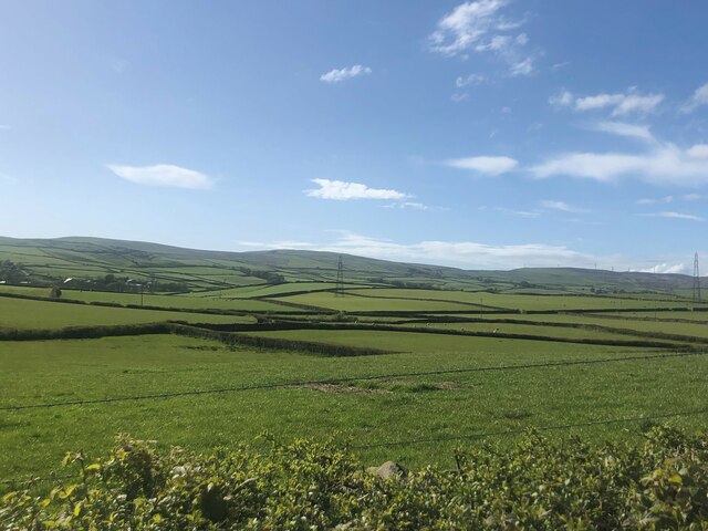
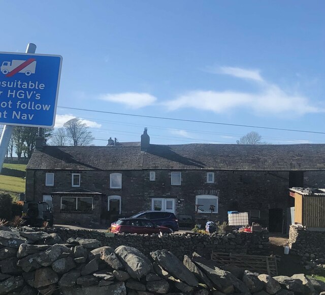
Knottallow Tarn is a small freshwater lake located in Lancashire, England. The tarn is nestled within a picturesque wooded area, creating a serene and tranquil environment for visitors to enjoy. It covers an area of approximately 2 acres and is surrounded by lush vegetation, including reeds, grasses, and wildflowers.

The tarn is a popular spot for birdwatching, with a variety of bird species frequenting the area, including ducks, swans, and herons. The calm waters of the tarn also provide a habitat for fish, such as perch and roach, making it a popular spot for anglers.

Visitors to Knottallow Tarn can enjoy scenic walks around the perimeter of the lake, taking in the beautiful views of the surrounding countryside. There are also designated picnic areas where visitors can relax and enjoy a meal or snack while taking in the tranquil surroundings.

Overall, Knottallow Tarn is a hidden gem in Lancashire, offering a peaceful escape from the hustle and bustle of everyday life, and providing a habitat for a variety of wildlife to thrive.

If you have any feedback on the listing, please let us know in the comments section below.

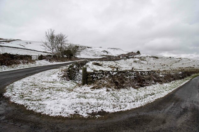
Knottallow Tarn Images

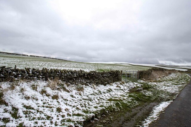
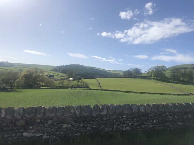
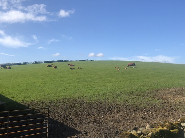
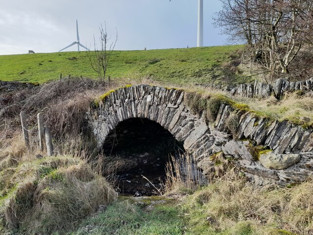
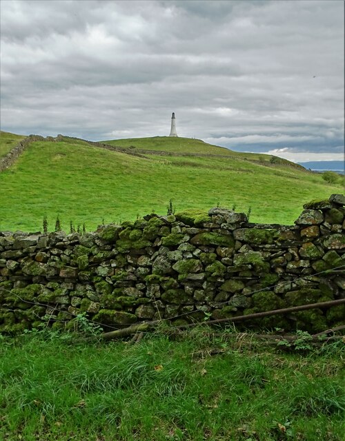
Images are sourced within 2km of 54.212403/-3.1179879 or Grid Reference SD2780. Thanks to Geograph Open Source API. All images are credited.

Cumbrian landscape A patchwork of grassy fields and low hills in the distance
Cumbrian landscape
A patchwork of grassy fields and low hills in the distance
Mansriggs Farm
Mansriggs Farm
Ordnance Survey Cut Mark This OS cut mark can be found on the roadside barn at Harlock. It marks a point 211.640m above mean sea level.
Ordnance Survey Cut Mark
This OS cut mark can be found on the roadside barn at Harlock. It marks a point 211.640m above mean sea level.
Ordnance Survey Cut Mark This OS cut mark can be found on the NE parapet of Rathmoss Bridge. It marks a point 204.680m above mean sea level.
Ordnance Survey Cut Mark
This OS cut mark can be found on the NE parapet of Rathmoss Bridge. It marks a point 204.680m above mean sea level.
Ordnance Survey Cut Mark This OS cut mark can be found on the wall SE side of the road. It marks a point 229.277m above mean sea level.
Ordnance Survey Cut Mark
This OS cut mark can be found on the wall SE side of the road. It marks a point 229.277m above mean sea level.
Ordnance Survey Cut Mark This OS cut mark can be found on the wall SE side of the road. It marks a point 241.234m above mean sea level.
Ordnance Survey Cut Mark
This OS cut mark can be found on the wall SE side of the road. It marks a point 241.234m above mean sea level.
Ordnance Survey Cut Mark This OS cut mark can be found on the gatepost NE side of the road. It marks a point 216.951m above mean sea level.
Ordnance Survey Cut Mark
This OS cut mark can be found on the gatepost NE side of the road. It marks a point 216.951m above mean sea level.
Ordnance Survey Cut Mark This OS cut mark can be found on the wall SW side of the road. It marks a point 202.604m above mean sea level.
Ordnance Survey Cut Mark
This OS cut mark can be found on the wall SW side of the road. It marks a point 202.604m above mean sea level.
Ordnance Survey Rivet This OS rivet can be found on a rock in the field, east side of the road. It marks a point 173.937m above mean sea level.
Ordnance Survey Rivet
This OS rivet can be found on a rock in the field, east side of the road. It marks a point 173.937m above mean sea level.
Ordnance Survey Rivet This OS rivet can be found on the rock south side of the road. It marks a point 164.080m above mean sea level.
Ordnance Survey Rivet
This OS rivet can be found on the rock south side of the road. It marks a point 164.080m above mean sea level.
Ordnance Survey Rivet This OS rivet can be found on the wall north side of the road. It marks a point 84.302m above mean sea level.
Ordnance Survey Rivet
This OS rivet can be found on the wall north side of the road. It marks a point 84.302m above mean sea level.
Gateway to field Gateway to field near Rake Farm
Gateway to field
Gateway to field near Rake Farm
Gateway to field Gateway to field near Horrace
Gateway to field
Gateway to field near Horrace
Farmland north of Ulverston
Cattle grazing, Low Flan Farm
Ordnance Survey Rivet This OS rivet can be found on the small concrete post east side of Pennington Road. It marks a point 208.322m above mean sea level.
Ordnance Survey Rivet
This OS rivet can be found on the small concrete post east side of Pennington Road. It marks a point 208.322m above mean sea level.
Devil's Bridge
Devil's Bridge
View from Chittery Lane to Hoad Hill, Ulverston On Hoad Hill sits the monument to Sir John Barrow erected in 1850.
View from Chittery Lane to Hoad Hill, Ulverston
On Hoad Hill sits the monument to Sir John Barrow erected in 1850.
Show me another place!

Knottallow Tarn is located at Grid Ref: SD2780 (Lat: 54.212403, Lng: -3.1179879)

Administrative County: Cumbria

District: South Lakeland

Police Authority: Cumbria

What 3 Words

///posting.hiding.headers. Near Ulverston, Cumbria

Related Wikis

Furness Fells

The Furness Fells are a multitude of hills and mountains in the Furness region of Cumbria, England. Historically part of Lancashire, the Furness Fells...

Osmotherley, Cumbria

Osmotherley is a civil parish in South Lakeland, Cumbria, England, extending north from Ulverston. The village of Broughton Beck is the largest settlement...

Broughton Beck

Broughton Beck is a village in the South Lakeland district of Cumbria, England. The village has two sections; one part is on the B5281 Ulverston to Gawthwaite...

Rosside

Rosside is a small village in Cumbria, England, on the outskirts of Ulverston. The village consists of around 15 houses, all contained in an area of around...

Nearby Amenities

Located within 500m of 54.212403,-3.1179879
Barrier: stile
Bicycle: no
Foot: yes
Horse: no
Motor Vehicle: no
Lat/Long: 54.2128544/-3.1122199
Barrier: stile
Bicycle: no
Foot: yes
Horse: no
Motor Vehicle: no
Lat/Long: 54.212355/-3.1111569
Power: pole
Lat/Long: 54.2097803/-3.119413
Power: pole
Lat/Long: 54.2102298/-3.1151819
Power: pole
Lat/Long: 54.2089235/-3.1192264
Power: pole
Lat/Long: 54.2104784/-3.1241359
Power: pole
Lat/Long: 54.2089985/-3.1164908
Power: pole
Lat/Long: 54.2109655/-3.1141064
Power: pole
Lat/Long: 54.2123434/-3.1121009
Power: pole
Lat/Long: 54.2080573/-3.119098
Power: pole
Lat/Long: 54.208451/-3.1170997
Power: pole
Lat/Long: 54.2102957/-3.1229308
Power: pole
Lat/Long: 54.2117011/-3.1130362
Power: pole
Lat/Long: 54.2094926/-3.1159651
Power: pole
Lat/Long: 54.2100134/-3.1210137
Power: pole
Lat/Long: 54.2129951/-3.1111613
Knottallow Hill
Natural: peak
Lat/Long: 54.2132225/-3.1229151
The data included in this document is from www.openstreetmap.org. The data is made available under ODbL.

Have you been to Knottallow Tarn?

Leave your review of Knottallow Tarn below (or comments, questions and feedback).