Newport Pagnell
Civil Parish in Buckinghamshire
England
Newport Pagnell
Newport Pagnell is a civil parish located in the county of Buckinghamshire, England. Situated on the River Ouzel, it is approximately 50 miles northwest of London and lies between the cities of Milton Keynes and Northampton. The town has a population of around 15,000 residents.
The history of Newport Pagnell dates back to the Roman era, with evidence of settlement in the area. It gained prominence during the medieval period due to its strategic location on the main route between London and the Midlands. The town prospered as a market town and later became an important coaching stop on the road to the north.
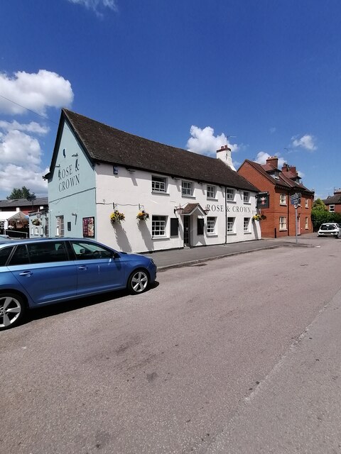
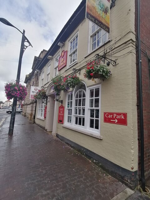
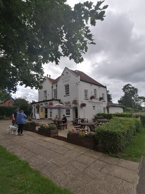
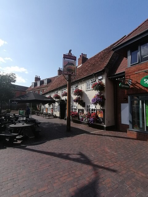
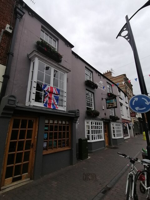
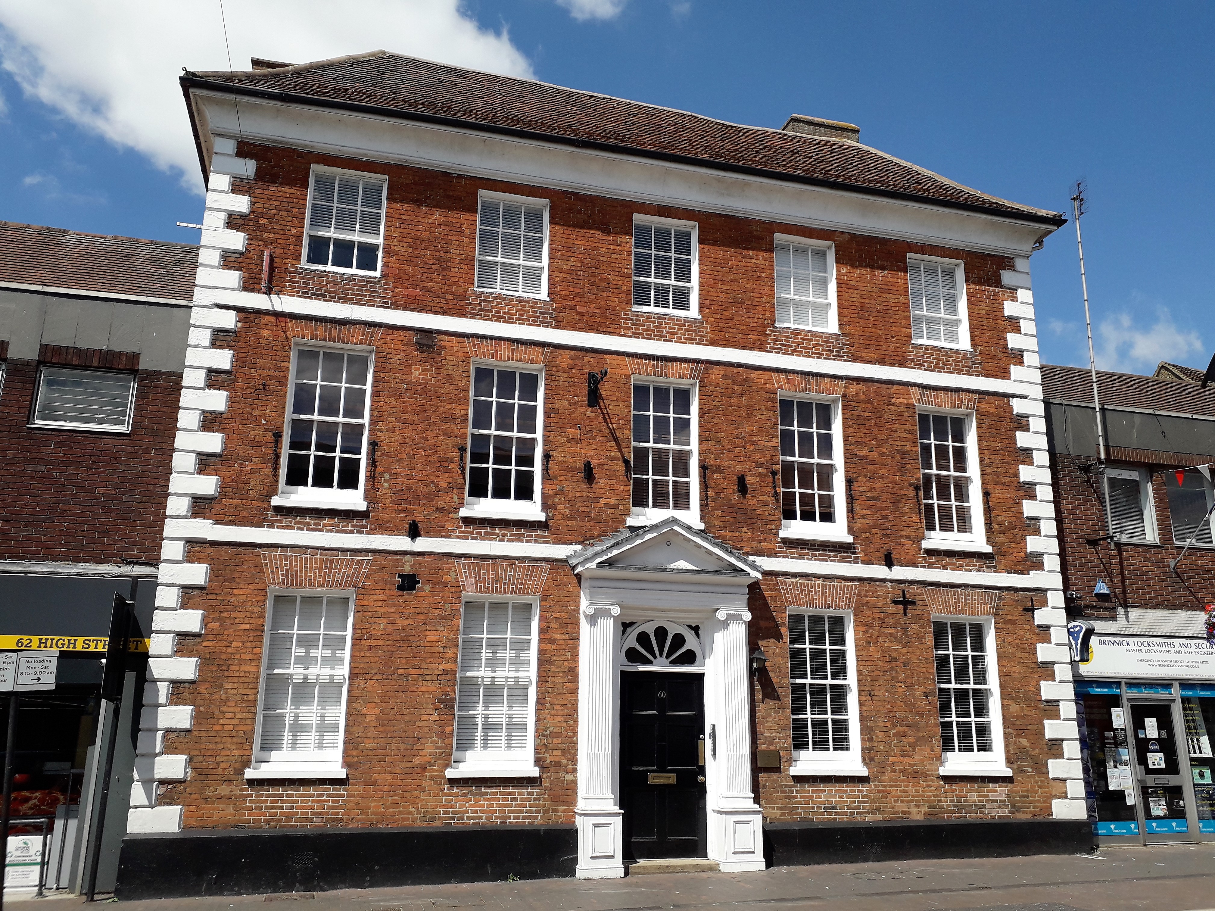
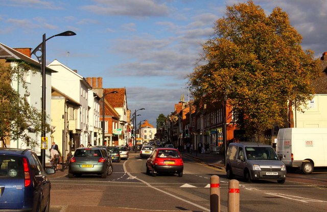
Today, Newport Pagnell retains its historic charm with many buildings dating back to the 17th and 18th centuries. The High Street is lined with attractive shops, cafes, and pubs, creating a vibrant and welcoming atmosphere. The town also boasts a thriving local community with various recreational facilities, including a leisure center, parks, and sports clubs.
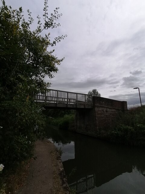
One of the notable landmarks in Newport Pagnell is the Parish Church of St. Peter and St. Paul, which dates back to the 12th century. The church features a distinctive tower and beautiful stained glass windows. There are also several other historic buildings and landmarks, such as Tickford Bridge, an ancient stone bridge that is believed to be the oldest iron bridge in the world still in use.
With its rich history, picturesque surroundings, and convenient location, Newport Pagnell is an attractive place to live, attracting residents and visitors alike.
If you have any feedback on the listing, please let us know in the comments section below.
Newport Pagnell Images
Images are sourced within 2km of 52.086753/-0.729816 or Grid Reference SP8743. Thanks to Geograph Open Source API. All images are credited.


Newport Pagnell is located at Grid Ref: SP8743 (Lat: 52.086753, Lng: -0.729816)
Unitary Authority: Milton Keynes
Police Authority: Thames Valley
What 3 Words
///stay.slouched.agency. Near Newport Pagnell, Buckinghamshire
Nearby Locations
Related Wikis
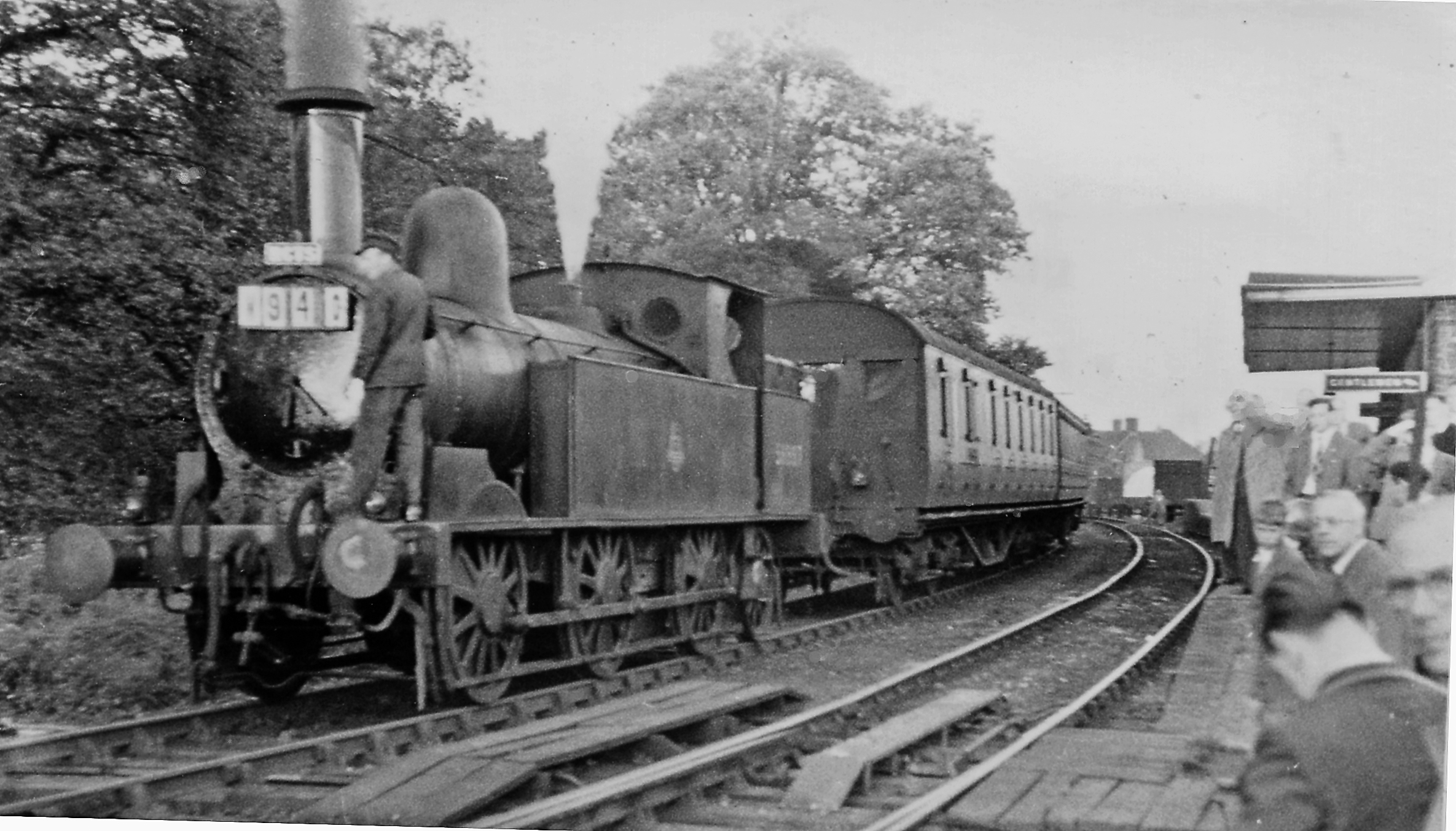
Newport Pagnell railway station
Newport Pagnell railway station was a railway station that served Newport Pagnell, Buckinghamshire, on the Wolverton–Newport Pagnell line. Opened in 1867...

Wolverton Urban District
Wolverton Urban District was a local government district in Buckinghamshire, England, from 1920 to 1974, covering the town of Wolverton and its environs...
Newport Pagnell Urban District
Newport Pagnell Urban District was a local government district in the administrative county of Buckinghamshire, England, from 1897 to 1974. == Origins... ==

Newport Pagnell Rural District
Newport Pagnell was a rural district in the administrative county of Buckinghamshire, England, from 1894 to 1974, covering an area in the north-east of...
Newport Pagnell
Newport Pagnell is a town and civil parish in the City of Milton Keynes, Buckinghamshire, England. The Office for National Statistics records Newport...

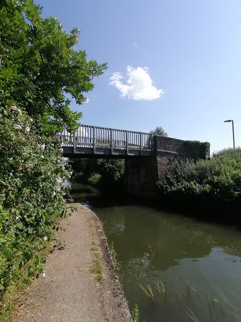
Tickford Bridge
Tickford Bridge, over the River Ouzel (or Lovat) in Newport Pagnell, Buckinghamshire, England, was built in 1810. It is one of the last (21 still remaining...
Ousedale School
Ousedale School, is an academy based in Newport Pagnell and Olney, in the City of Milton Keynes, Buckinghamshire, England. The school opened in 1963 to...
Tickford Priory
Tickford Priory was a medieval monastic house in Newport Pagnell in Buckinghamshire, England. Tickford Priory was established in 1140 by Fulconius Paganel...
Nearby Amenities
Located within 500m of 52.086753,-0.729816Have you been to Newport Pagnell?
Leave your review of Newport Pagnell below (or comments, questions and feedback).