Newport and Carisbrooke
Civil Parish in Hampshire
England
Newport and Carisbrooke
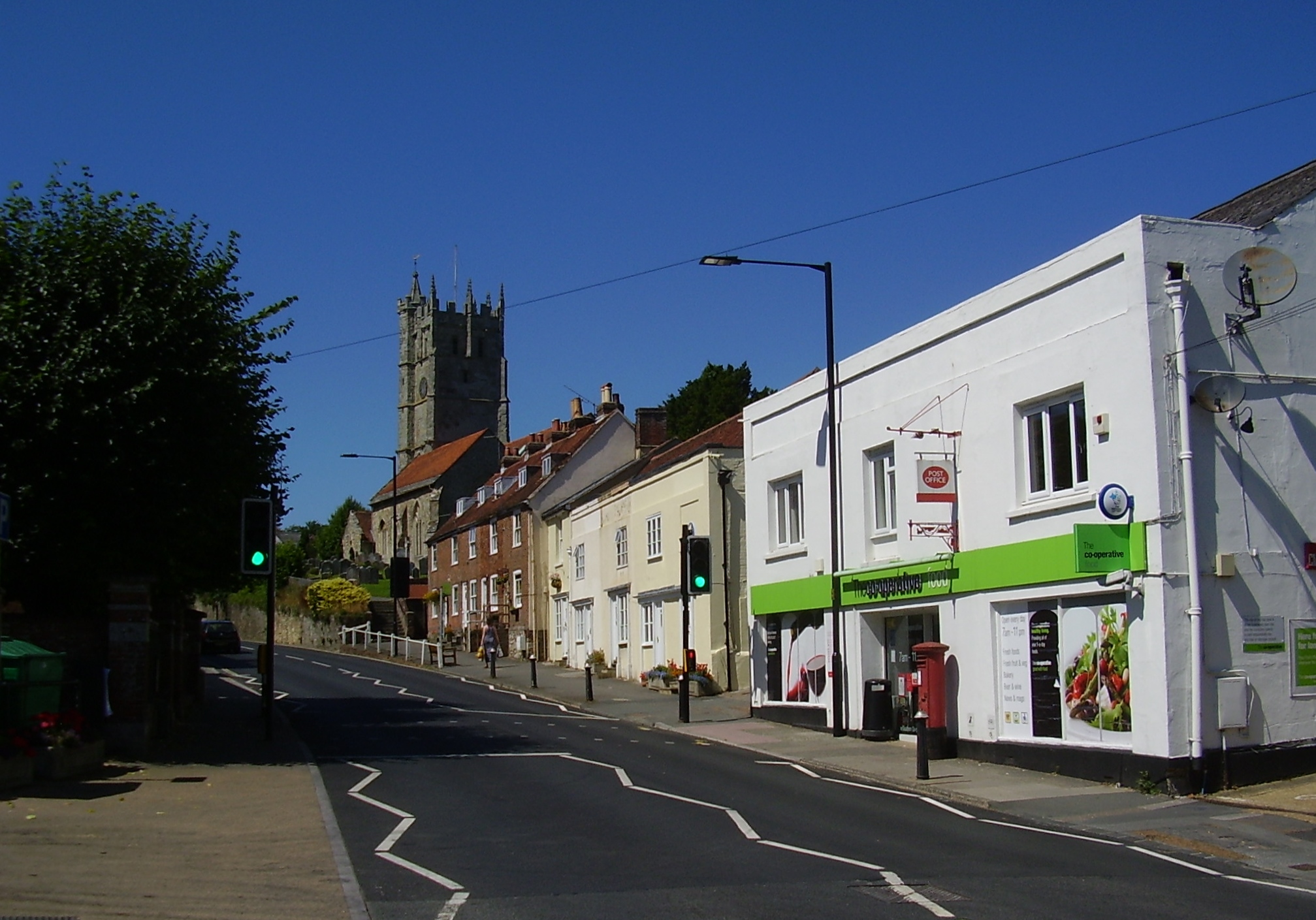
Newport and Carisbrooke is a civil parish located in the county of Hampshire, England. It is situated on the Isle of Wight, which is known for its natural beauty and historical significance. The parish is made up of two distinct areas, Newport and Carisbrooke, each with its own unique charm and character.
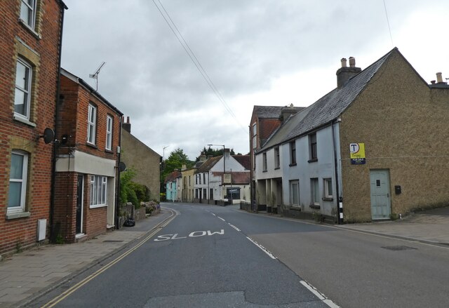
Newport, the main town of the parish, is a bustling urban area that serves as the administrative and commercial center of the Isle of Wight. It boasts a range of amenities, including shopping centers, restaurants, and entertainment venues. The town is also home to several historical landmarks, such as the medieval Carisbrooke Castle, which offers stunning views of the surrounding countryside.
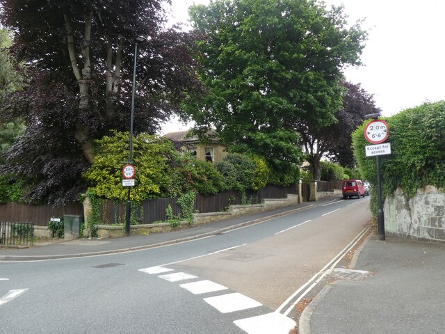
Carisbrooke, on the other hand, is a quaint village located just outside of Newport. It is famous for its picturesque cottages, traditional pubs, and scenic countryside. Carisbrooke is most well-known for its historic castle, which dates back to the 12th century. The castle has played a significant role in English history and is now a popular tourist attraction.
The civil parish of Newport and Carisbrooke offers a diverse range of activities and attractions for residents and visitors alike. From exploring the rich history of Carisbrooke Castle to enjoying the vibrant atmosphere of Newport town, there is something for everyone to enjoy in this charming part of Hampshire.
If you have any feedback on the listing, please let us know in the comments section below.
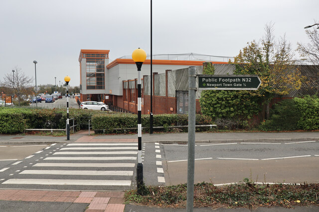
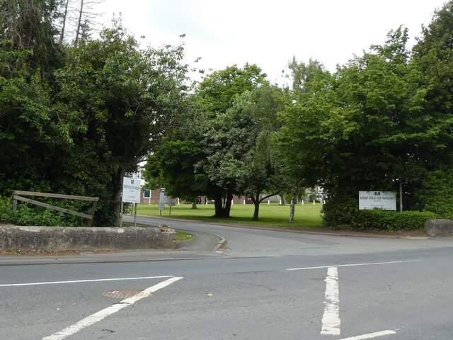
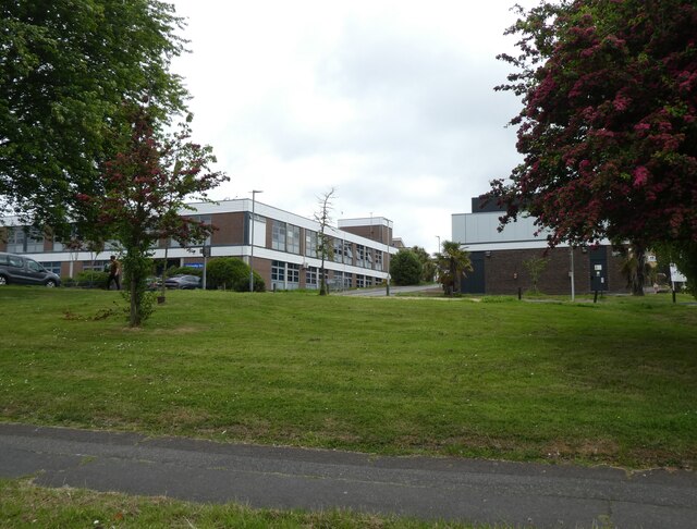
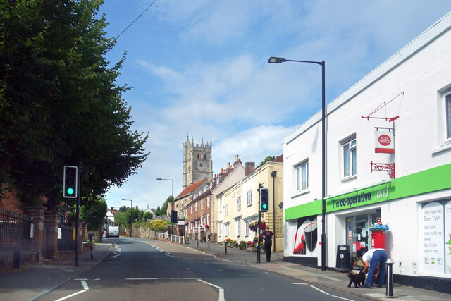
Newport and Carisbrooke Images
Images are sourced within 2km of 50.697764/-1.313609 or Grid Reference SZ4888. Thanks to Geograph Open Source API. All images are credited.


Newport and Carisbrooke is located at Grid Ref: SZ4888 (Lat: 50.697764, Lng: -1.313609)
Unitary Authority: Isle of Wight
Police Authority: Hampshire
What 3 Words
///doll.throwaway.cave. Near Newport, Isle of Wight
Nearby Locations
Related Wikis

Carisbrooke College
Carisbrooke College is a foundation trust-supported secondary school in Carisbrooke on the Isle of Wight, formerly Carisbrooke High School. Sixth form...
Carisbrooke railway station
Carisbrooke Station was a railway station situated near the village of Carisbrooke, just outside Newport, Isle of Wight, off the south coast of England...

Christ the King College, Isle of Wight
Christ the King College is a joint Church of England and Catholic secondary school and sixth form college located in Newport on the Isle of Wight. It was...

Victoria Recreation Ground
Victoria Recreation Ground is a park located on Recreation Ground Road, just off Carisbrooke Road, in Newport, on the Isle of Wight, England. It was opened...

Gunville
Gunville is a small settlement on the Isle of Wight, off the south coast of England. It largely comprises housing, although there are also a small number...

Newport and Carisbrooke
Newport and Carisbrooke, formerly just Newport is a civil parish on the Isle of Wight, in the county of the Isle of Wight, England. The parish includes...
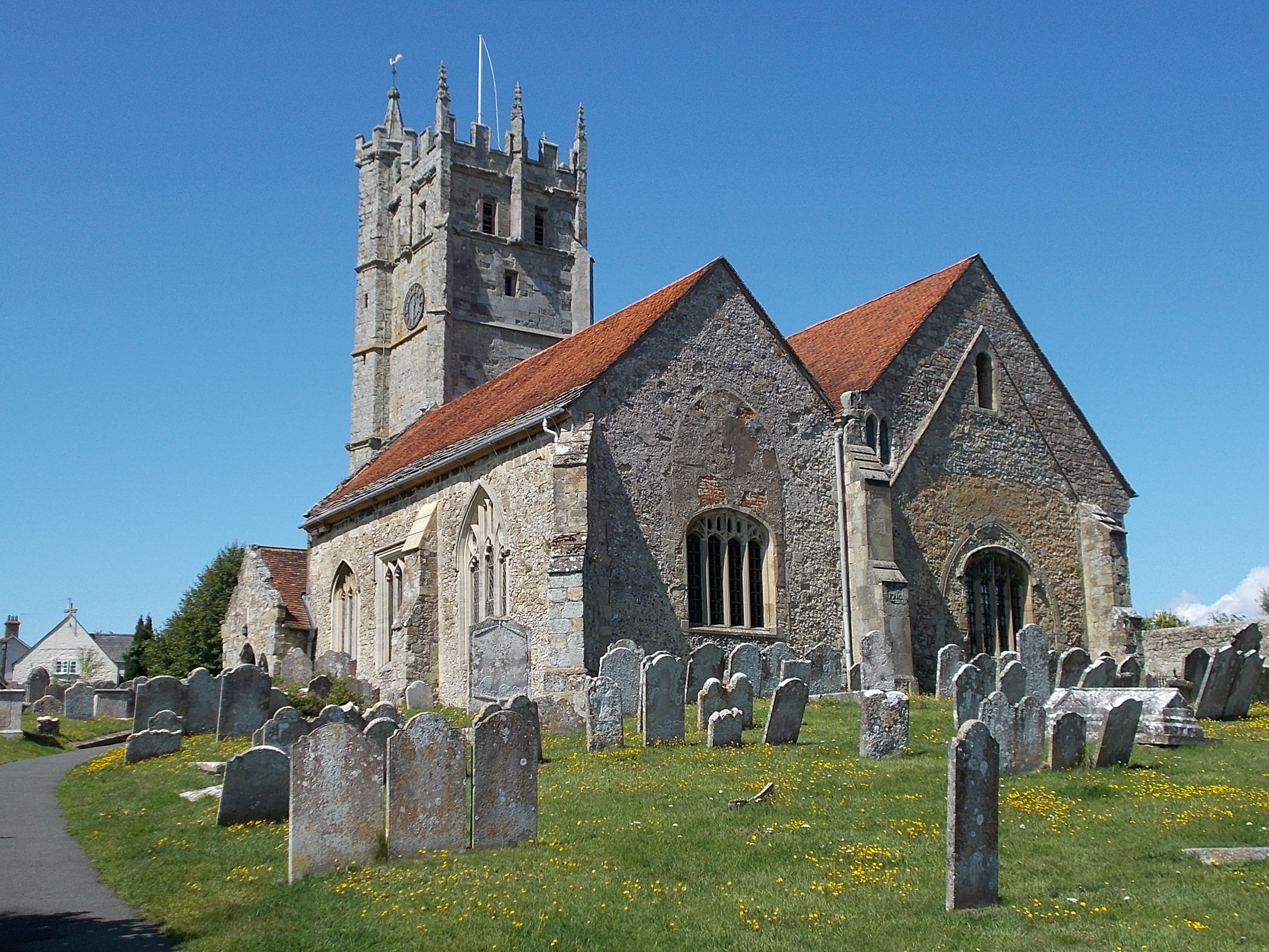
St Mary's Church, Carisbrooke
St Mary's Church, Carisbrooke is a parish church in the Church of England located in Carisbrooke, Isle of Wight. A service is held every Sunday morning...
Carisbrooke
Carisbrooke is a village on the south western outskirts of Newport, in the civil parish of Newport and Carisbrooke, Isle of Wight, England. It is best...
Nearby Amenities
Located within 500m of 50.697764,-1.313609Have you been to Newport and Carisbrooke?
Leave your review of Newport and Carisbrooke below (or comments, questions and feedback).