Nesbitt

Civil Parish in Durham

England

Nesbitt

The Ship Inn, High Heselden Village pub along Mickle Hill Road.
The Ship Inn, High Heselden Credit: Des Blenkinsopp

Nesbitt is a civil parish located in the county of Durham, in the northeast region of England. Situated approximately 10 miles south of Durham city, the parish covers an area of around 5 square miles. It is a rural area surrounded by picturesque countryside, with rolling hills and open fields.

The population of Nesbitt is relatively small, with around 200 residents living in the parish. The community is close-knit and friendly, with a strong sense of community spirit. Most of the residents are employed in agriculture or commute to nearby towns for work.

The parish is home to a few small settlements, including the main village of Nesbitt and a handful of hamlets. The village features a few amenities, such as a local pub, a small convenience store, and a village hall where community events are held. There is also a primary school that serves the local children.

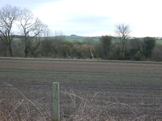
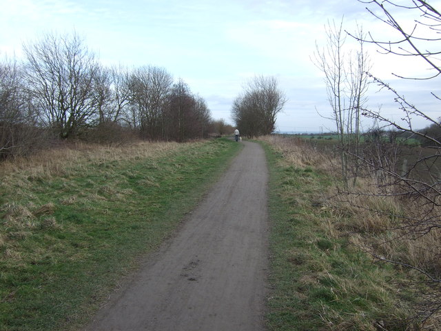
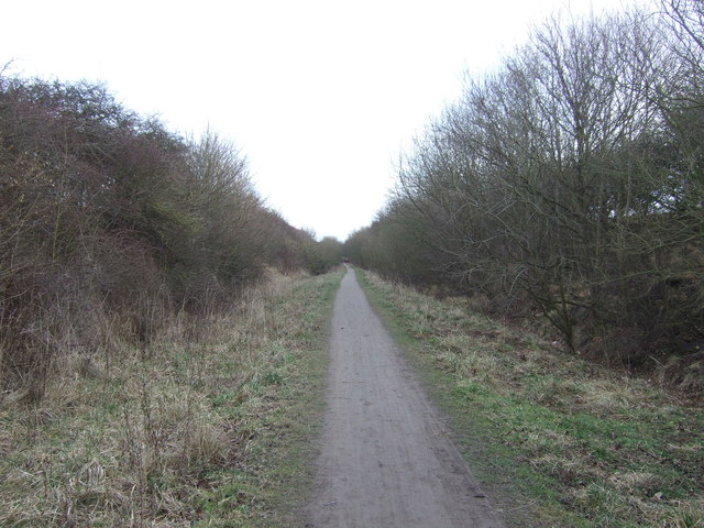
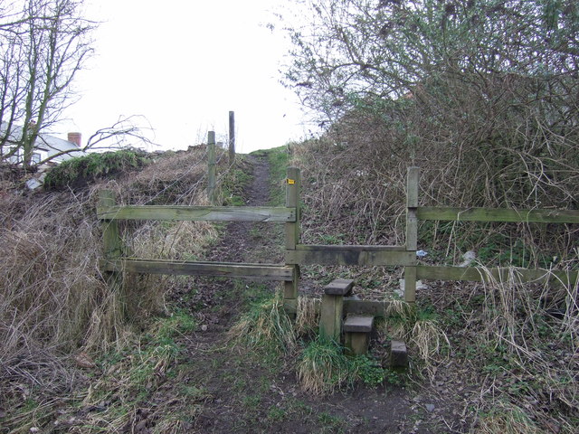
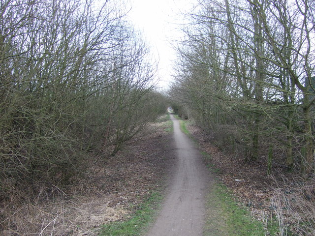
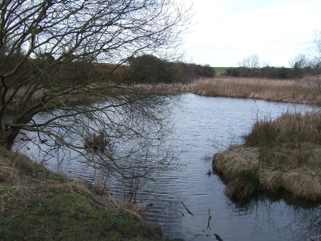
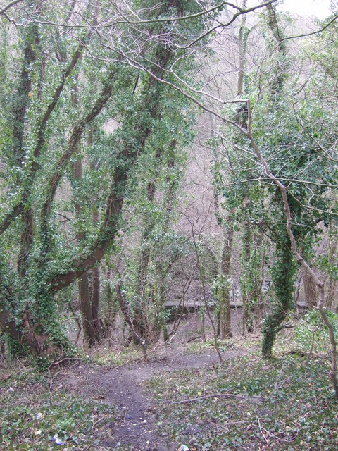
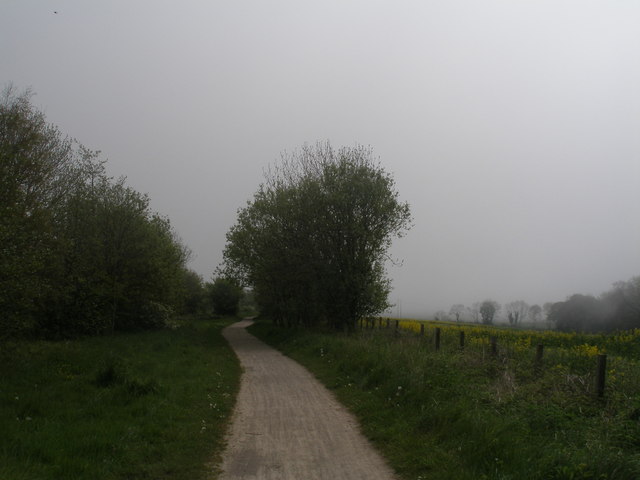
The landscape of Nesbitt is dominated by farmland, with a mix of arable land and livestock farming. The countryside is dotted with traditional stone-built farmhouses and barns, adding to the area's rural charm. The parish is also known for its beautiful natural surroundings, including woodlands, rivers, and walking trails, which attract outdoor enthusiasts.

Overall, Nesbitt is a quiet and peaceful civil parish that offers a rural lifestyle and a strong sense of community. Its beautiful countryside and close proximity to Durham city make it an attractive place to live for those seeking a quieter way of life while still having access to amenities and urban areas.

If you have any feedback on the listing, please let us know in the comments section below.
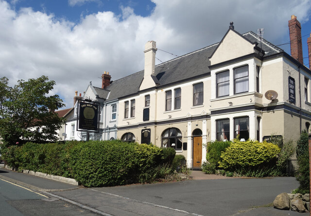
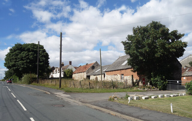
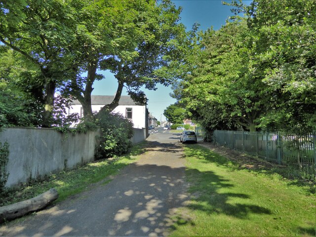
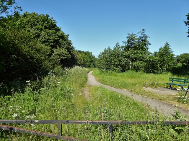
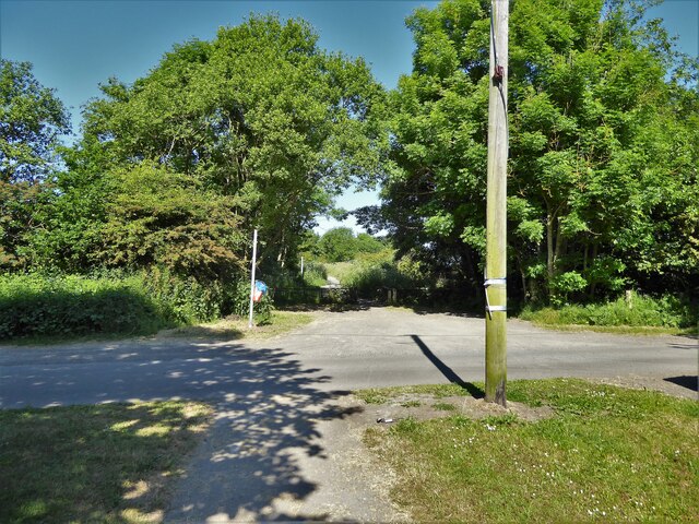
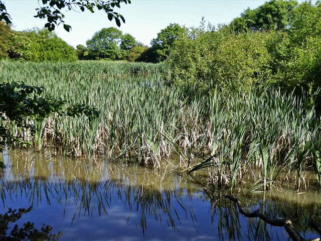
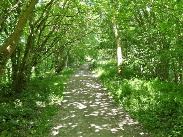
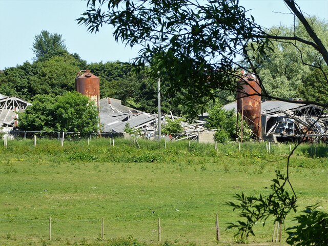
Nesbitt Images

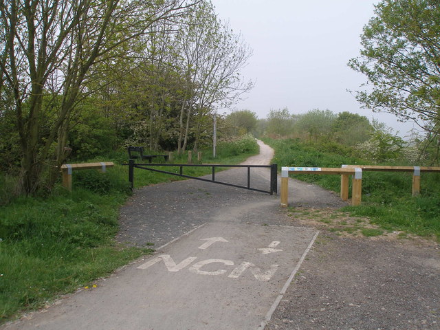
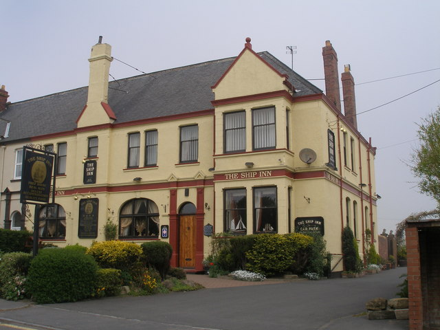
Images are sourced within 2km of 54.722982/-1.293864 or Grid Reference NZ4536. Thanks to Geograph Open Source API. All images are credited.

The Ship Inn, High Heselden Village pub along Mickle Hill Road.
The Ship Inn, High Heselden
Village pub along Mickle Hill Road.
Mickle Hill Road, High Heselden With some old buildings belonging to High Heselden Farm.
Mickle Hill Road, High Heselden
With some old buildings belonging to High Heselden Farm.
Bridleway approaching Church Street The bridleway enters Hesleden by the side of Hesleden House
Bridleway approaching Church Street
The bridleway enters Hesleden by the side of Hesleden House
Cycle path following route of former railway The Hart to Haswell route has just crossed the end of East Terrace
Cycle path following route of former railway
The Hart to Haswell route has just crossed the end of East Terrace
Cycle path following route of former railway The Hart to Haswell route crossing the road to Monk Heselden. The road previously crossed the railway on a bridge, so there have been earthworks to make now the crossing of the routes on the level.
Cycle path following route of former railway
The Hart to Haswell route crossing the road to Monk Heselden. The road previously crossed the railway on a bridge, so there have been earthworks to make now the crossing of the routes on the level.
Former reservoir By the side of the Hart to Haswell Walkway
Former reservoir
By the side of the Hart to Haswell Walkway
Cycle path following route of former railway Approaching the municipal boundary between Hartlepool & Easington districts at the embankment across Crimdon Beck on the Hart to Haswell route
Cycle path following route of former railway
Approaching the municipal boundary between Hartlepool & Easington districts at the embankment across Crimdon Beck on the Hart to Haswell route
Collapse of the poultry industry? Former poultry sheds viewed from the Hart to Haswell Walkway
Collapse of the poultry industry?
Former poultry sheds viewed from the Hart to Haswell Walkway
Farmland, Hesleden
Farmland, Hesleden
Haswell to Hart railway path heading east
Footpath to Nesbitt Dene
Haswell to Hart railway path
Pond off the Haswell to Hart railway path
Path through Nesbitt Dene Heading down into valley.
Path through Nesbitt Dene
Heading down into valley.
Haswell to Hart Walkway
Hart to Haswell Walkway near Monk Hesleden
The Ship Inn
The Ship Inn
Show me another place!

Nesbitt is located at Grid Ref: NZ4536 (Lat: 54.722982, Lng: -1.293864)

Unitary Authority: County Durham

Police Authority: Durham

What 3 Words

///expose.backhand.finger. Near Elwick, Co. Durham

Nearby Locations

Nesbitt

Related Wikis

Monk Hesleden

Monk Hesleden is a village and civil parish in County Durham, England. The population of the parish at the 2011 Census was 5,722. The parish is situated...

Hart Bog

Hart Bog (grid reference NZ452354) is a 1.79 hectare biological Site of Special Scientific Interest in County Durham, England notified in 1968. SSSIs are...

High Hesleden

High Hesleden is a village in Monk Hesleden parish, County Durham, in England. It is situated a few miles north of Hartlepool, between Blackhall Rocks...

Hulam Fen

Hulam Fen is a Site of Special Scientific Interest in the Easington district of east County Durham, England, just south of the village of Hesleden, about...

Nearby Amenities

Located within 500m of 54.722982,-1.293864
Castle Eden
Ele: 92.41
Man Made: tower
Operator: Cellnex
Tower Type: communication
Lat/Long: 54.7250026/-1.2998997
Barrier: stile
Ele: 71.26
Lat/Long: 54.727295/-1.2958517
Barrier: stile
Fixme: Confirm extant
Lat/Long: 54.7272446/-1.2952066
Power: pole
Lat/Long: 54.721404/-1.2978916
Power: pole
Lat/Long: 54.7224479/-1.2980722
Power: pole
Lat/Long: 54.719501/-1.2975998
Power: pole
Lat/Long: 54.7245703/-1.2999428
Power: pole
Lat/Long: 54.7240246/-1.299222
Power: pole
Lat/Long: 54.7232245/-1.2981781
Power: pole
Lat/Long: 54.720331/-1.2977406
Barrier: stile
Lat/Long: 54.7188688/-1.2962674
Power: pole
Lat/Long: 54.7232416/-1.299368
Power: pole
Lat/Long: 54.7230363/-1.2979276
Barrier: entrance
Lat/Long: 54.7232402/-1.297933
Power: pole
Lat/Long: 54.7190744/-1.2906669
Power: pole
Lat/Long: 54.7228605/-1.2966844
Power: pole
Lat/Long: 54.7226622/-1.2952602
Power: pole
Lat/Long: 54.7224934/-1.2940452
Power: pole
Lat/Long: 54.7223214/-1.2927872
Power: pole
Lat/Long: 54.7221177/-1.2913348
Power: pole
Lat/Long: 54.7219822/-1.2905315
Power: pole
Lat/Long: 54.7193455/-1.2905677
Power: pole
Lat/Long: 54.7199807/-1.2903222
Power: pole
Lat/Long: 54.7209241/-1.289987
Power: pole
Lat/Long: 54.7218319/-1.2896517
Power: pole
Lat/Long: 54.7225151/-1.2894103
Power: pole
Lat/Long: 54.7232664/-1.2891367
Power: pole
Lat/Long: 54.7240517/-1.2888443
Power: pole
Lat/Long: 54.7248549/-1.2885574
Power: pole
Lat/Long: 54.7255349/-1.2882824
Barrier: block
Foot: yes
Lat/Long: 54.7257786/-1.2992149
Access: no
Barrier: block
Note: Curious large concrete gatepost?
Lat/Long: 54.7223861/-1.2979136
Entrance: yes
Lat/Long: 54.7231849/-1.3004375
The data included in this document is from www.openstreetmap.org. The data is made available under ODbL.

Have you been to Nesbitt?

Leave your review of Nesbitt below (or comments, questions and feedback).