Nempnett Thrubwell

Civil Parish in Somerset

England

Nempnett Thrubwell

Blagdon Lake
Blagdon Lake Credit: Roger Cornfoot

Nempnett Thrubwell is a small civil parish located in the county of Somerset, England. Situated in the South West region of the country, it lies approximately 13 miles south of Bristol and 15 miles east of Weston-super-Mare. The parish covers an area of around 2 square miles and is home to a population of just over 200 residents.

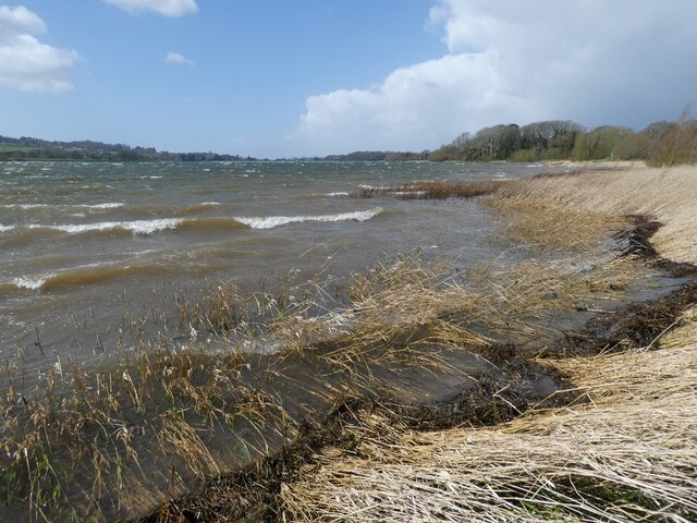
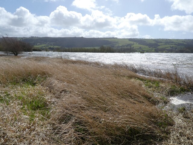
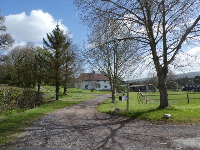
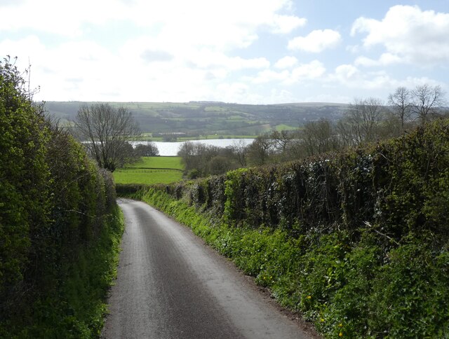
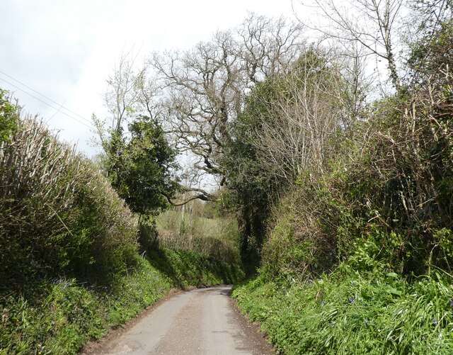
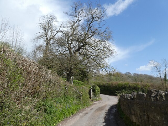
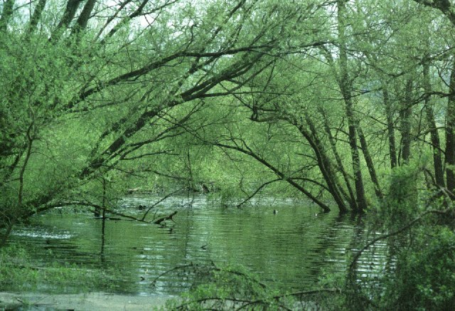
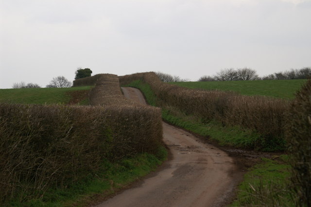
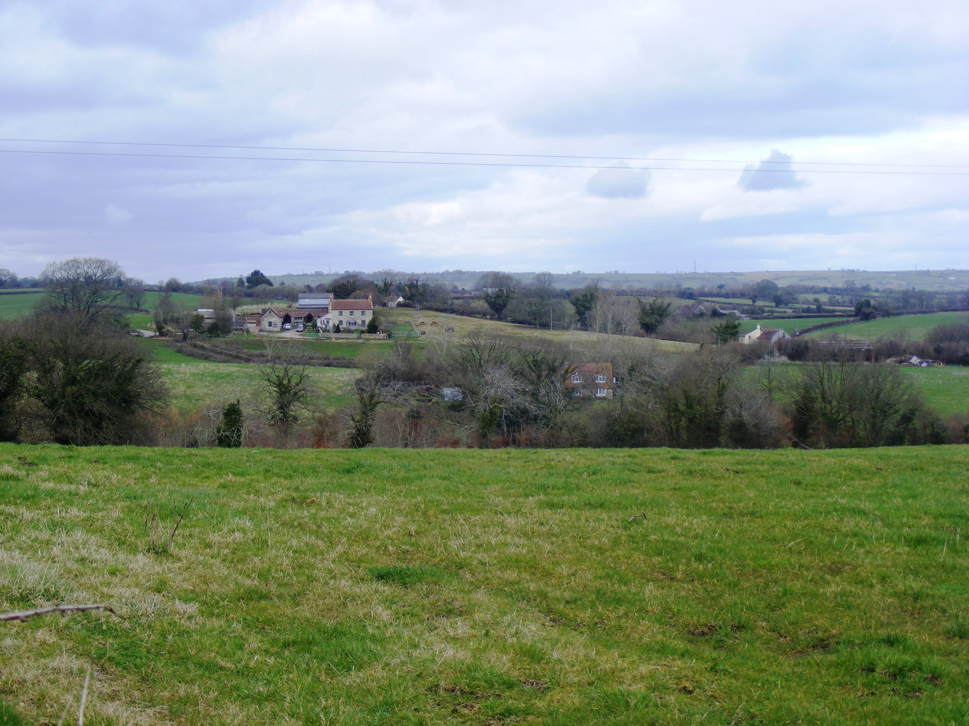
Nempnett Thrubwell is characterized by its picturesque countryside setting, with rolling hills and lush green fields surrounding the village. The landscape is dotted with traditional stone cottages and farmhouses, giving the area a charming and quaint atmosphere.

The parish is predominantly rural, with agriculture playing a significant role in the local economy. The fertile land is used for farming activities, including the cultivation of crops and the rearing of livestock. Livestock farming, particularly dairy farming, is a major source of income for many residents.

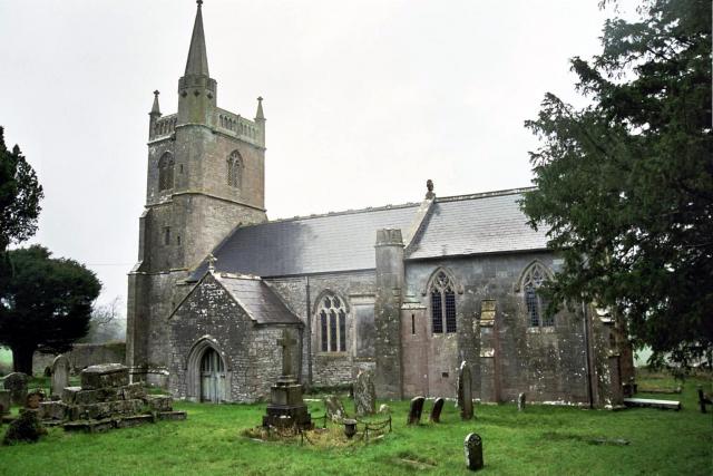
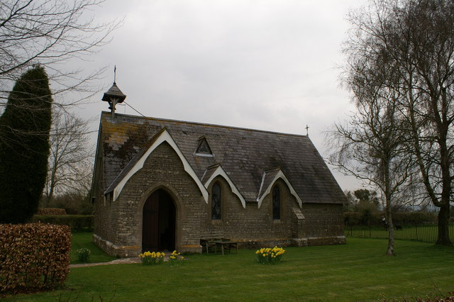
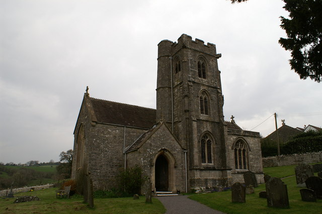
Nempnett Thrubwell is also known for its close-knit community and strong sense of community spirit. The village has a small primary school, a village hall, and a parish church, which serves as a focal point for local gatherings and events.

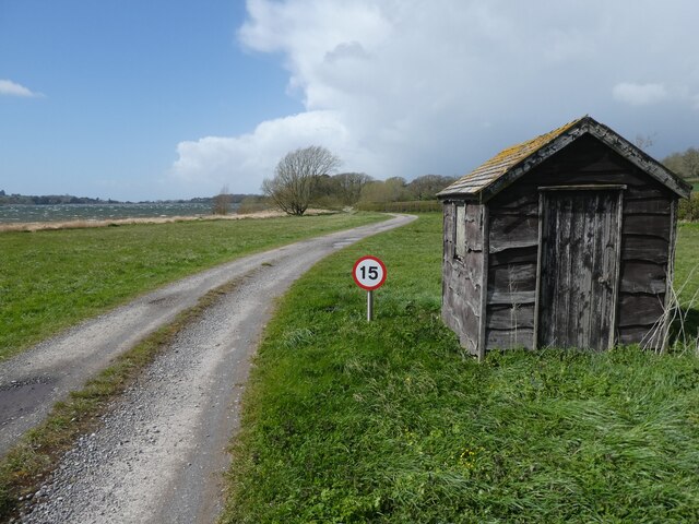
The area offers various outdoor recreational opportunities, with numerous footpaths and bridleways crisscrossing the countryside, providing opportunities for walking, hiking, and horse riding. The nearby Mendip Hills Area of Outstanding Natural Beauty is a popular destination for nature enthusiasts and offers stunning views of the surrounding countryside.

In summary, Nempnett Thrubwell is a tranquil and idyllic civil parish in Somerset, boasting a rural landscape, a close-knit community, and a strong agricultural heritage.

If you have any feedback on the listing, please let us know in the comments section below.

Nempnett Thrubwell Images

Images are sourced within 2km of 51.348941/-2.684553 or Grid Reference ST5261. Thanks to Geograph Open Source API. All images are credited.

Blagdon Lake
Blagdon Lake
Blagdon Lake
Blagdon Lake
Lakeside track, Blagdon
Rugmoor Farm
Rugmoor Farm
Minor road to Ubley
Minor road to Ubley
Lane to Dewdown
Lane to Dewdown
Approaching Dewdown
Approaching Dewdown
Blagdon Lake The view SW over Blagdon Lake from the minor road at MR: ST528599.
Blagdon Lake
The view SW over Blagdon Lake from the minor road at MR: ST528599.
Signpost at the crossroads, Nempnett Thrubwell
Nempnett Thrubwell The parish church of St Mary, in one of the most bizarrely-named villages in the country
Nempnett Thrubwell
The parish church of St Mary, in one of the most bizarrely-named villages in the country
Blagdon Lake - Bristol Water Company's Reservoir This lake must be about 2.5 km long and about 0.5km wide. Along with the nearby Chew Lake it provides Bristol with its water supply. The river Yeo was dammed to form the lake in the 1890s. There is a footpath along the north west side from where this photo was taken. The lake is stocked with trout.

Bristol Water have regular open days when the Victorian pumping engine may be seen. See
<span class="nowrap"><a title="http://www.bristol-water.co.uk/leisure/blagdon-openDays.asp" rel="nofollow ugc noopener" href="http://www.bristol-water.co.uk/leisure/blagdon-openDays.asp">Link</a><img style="margin-left:2px;" alt="External link" title="External link - shift click to open in new window" src="https://s1.geograph.org.uk/img/external.png" width="10" height="10"/></span>
Blagdon Lake - Bristol Water Company's Reservoir
This lake must be about 2.5 km long and about 0.5km wide. Along with the nearby Chew Lake it provides Bristol with its water supply. The river Yeo was dammed to form the lake in the 1890s. There is a footpath along the north west side from where this photo was taken. The lake is stocked with trout. Bristol Water have regular open days when the Victorian pumping engine may be seen. See LinkExternal link
Blagdon Lake - Bristol Water Company's Reservoir This photo was taken at the north end of Blagdon lake where a stream enters the lake. See square for ST5060 for more information.
Blagdon Lake - Bristol Water Company's Reservoir
This photo was taken at the north end of Blagdon lake where a stream enters the lake. See square for ST5060 for more information.
Hill and tree beyond Blagdon Lake Photo was taken looking north east away from the lake. Butcombe is over the hill. The fields around here have many wild flowers.
Hill and tree beyond Blagdon Lake
Photo was taken looking north east away from the lake. Butcombe is over the hill. The fields around here have many wild flowers.
Down Hill Lumps Looking toward Butcombe
Down Hill Lumps
Looking toward Butcombe
St James Church, Regil
St Michaels & All Angels Church, Butcombe
Show me another place!

Nempnett Thrubwell is located at Grid Ref: ST5261 (Lat: 51.348941, Lng: -2.684553)

Unitary Authority: Bath and North East Somerset

Police Authority: Avon and Somerset

What 3 Words

///destiny.ushering.ladders. Near Butcombe, Somerset
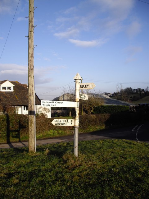
Nearby Locations

Nempnett Thrubwell

Related Wikis

Fairy Toot

The Fairy Toot is an extensive oval barrow in the civil parish of Nempnett Thrubwell, Somerset, England (grid reference ST520618). It is an example of...

Butcombe

Butcombe is a village and civil parish in Somerset, England. The village is situated just north of Blagdon Lake, in North Somerset. The parish has a population...

Plaster's Green Meadows

Plaster's Green Meadows (grid reference ST532611) is a 4.3 hectare biological Site of Special Scientific Interest near the village of Nempnett Thrubwell...

Church of St Michael and All Angels, Butcombe

The Anglican Church of St Michael and All Angels at Butcombe in the English county of Somerset was built in the 15th century and restored in 1868. It is...

Nearby Amenities

Located within 500m of 51.348941,-2.684553
Power: tower
Lat/Long: 51.3473327/-2.6878415
Power: tower
Lat/Long: 51.3466492/-2.6840971
Barrier: kissing_gate
Material: metal
Lat/Long: 51.3524603/-2.6842153
Barrier: kissing_gate
Material: metal
Lat/Long: 51.3512986/-2.686758
Power: pole
Lat/Long: 51.3531105/-2.6864943
Power: pole
Lat/Long: 51.352138/-2.6865431
Power: pole
Lat/Long: 51.3510246/-2.6865268
Power: pole
Lat/Long: 51.3485036/-2.6867179
Power: pole
Lat/Long: 51.3499467/-2.6865387
Power: pole
Lat/Long: 51.3493598/-2.6865546
Power: pole
Lat/Long: 51.3488997/-2.6865894
Power: pole
Transformer: distribution
Lat/Long: 51.347663/-2.6870132
Power: pole
Lat/Long: 51.3473024/-2.6868561
Power: pole
Transformer: distribution
Lat/Long: 51.3464422/-2.685995
Power: pole
Lat/Long: 51.3457147/-2.686117
Power: pole
Transformer: distribution
Lat/Long: 51.3451692/-2.6855104
The data included in this document is from www.openstreetmap.org. The data is made available under ODbL.

Have you been to Nempnett Thrubwell?

Leave your review of Nempnett Thrubwell below (or comments, questions and feedback).