Nelson
Civil Parish in Lancashire Pendle
England
Nelson
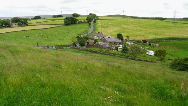
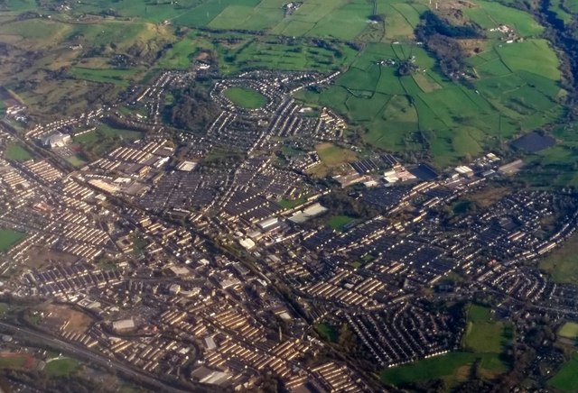
Nelson is a civil parish located in Lancashire, England. It is situated in the borough of Pendle and is part of the larger Burnley-Nelson urban area. The town lies approximately 4 miles north of Burnley and 30 miles east of Preston.
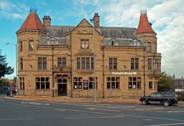
Nelson has a rich industrial heritage, with its roots in the textile industry. In the late 19th and early 20th centuries, the town was known for its numerous cotton mills and weaving factories. Today, some of these historic buildings have been repurposed for other uses, while others have been demolished or left in disrepair.
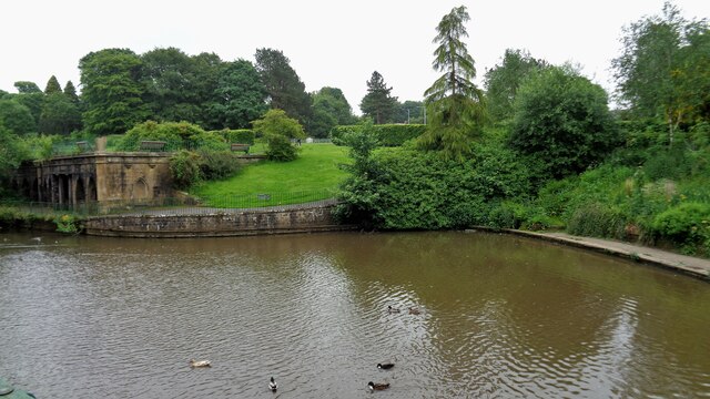
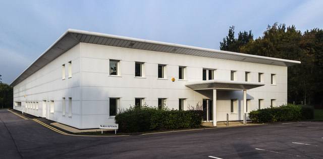
The town has a population of around 29,000 people, according to the 2011 census. It is a diverse community, with a mix of different ethnicities and cultures. The town center offers a range of amenities, including shops, restaurants, and pubs. There are also several parks and green spaces, providing opportunities for outdoor activities and recreation.
Nelson is well-connected to other parts of the country by road and rail. The M65 motorway runs nearby, providing easy access to cities like Manchester and Leeds. The town has its own railway station, which offers regular services to destinations such as Blackpool, Preston, and Manchester.
Overall, Nelson is a town with a proud industrial past and a vibrant present. It offers a mix of history, culture, and modern amenities, making it an attractive place to live and visit.
If you have any feedback on the listing, please let us know in the comments section below.
Nelson Images
Images are sourced within 2km of 53.833921/-2.189799 or Grid Reference SD8737. Thanks to Geograph Open Source API. All images are credited.

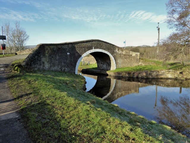

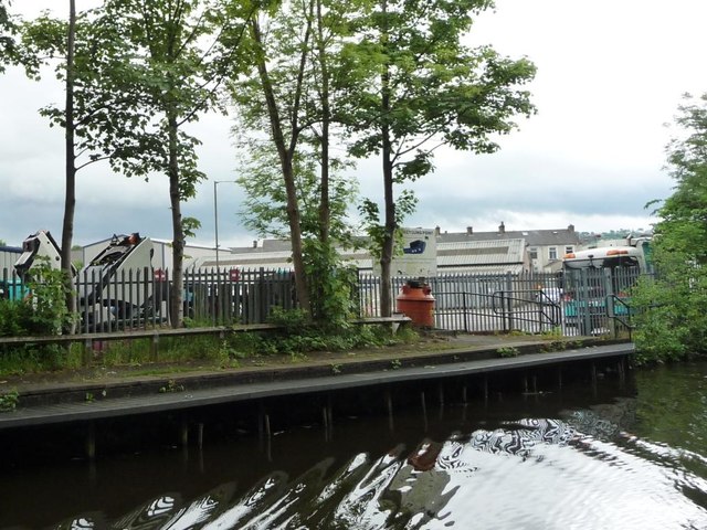
![Stormy skies over the footpath to Pendle Vale College Looking east from the Leeds &amp; Liverpool Canal, between Swinden Changeline Bridge [No 142] and Swinden Aqueduct.](https://s2.geograph.org.uk/geophotos/05/43/45/5434514_40ba81b7.jpg)
Nelson is located at Grid Ref: SD8737 (Lat: 53.833921, Lng: -2.189799)
Administrative County: Lancashire
District: Pendle
Police Authority: Lancashire
What 3 Words
///strictly.landowner.agent. Near Nelson, Lancashire
Nearby Locations
Related Wikis

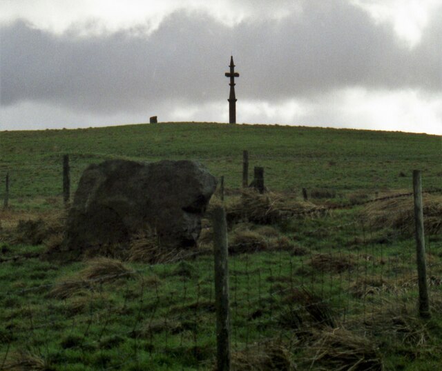
Castercliff
Castercliff is an Iron Age multivallate hillfort situated close to the towns of Nelson and Colne in Lancashire, Northern England. It is located on a hilltop...

Pendle Vale College
Pendle Vale College is a mixed 11 to 16 comprehensive school located in Nelson, Lancashire. == History == The school initially opened in 2006 as part of...
Bott Lane Halt railway station
Bott Lane Halt railway station was a station on the East Lancashire line between Nelson and Colne, in Lancashire, England. It was situated off Bott House...
Ss John Fisher and Thomas More Roman Catholic High School
Ss John Fisher and Thomas More RC High School is a coeducational secondary school located in Colne in the English county of Lancashire. The school is named...
Nearby Amenities
Located within 500m of 53.833921,-2.189799Have you been to Nelson?
Leave your review of Nelson below (or comments, questions and feedback).