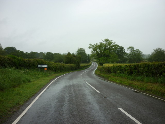
Neenton

Civil Parish in Shropshire

England

Neenton

Wrickton Watermill The overshot wheel is on the right hand side of the building.
Wrickton Watermill Credit: John M

Neenton is a civil parish located in the county of Shropshire, England. Situated approximately 4 miles north of the town of Cleobury Mortimer, it is nestled in the beautiful countryside of the West Midlands region. Neenton covers an area of around 5 square kilometers and has a population of about 200 residents.

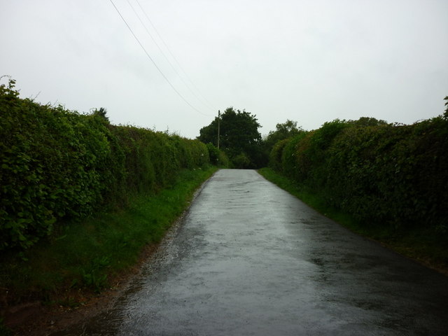
The parish is known for its picturesque landscapes, with rolling hills, lush meadows, and charming rural scenery. It is surrounded by other small villages, such as Chorley and Stanmore, creating a close-knit community atmosphere. Neenton is also part of the Shropshire Hills Area of Outstanding Natural Beauty, which further enhances its appeal to nature lovers and outdoor enthusiasts.

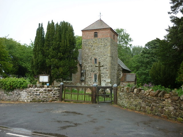
The centerpiece of Neenton is St. Mary's Church, a Grade II listed building that dates back to the 12th century. This historic church is renowned for its medieval architecture and stained glass windows. It serves as a focal point for the community, hosting regular religious services and community events.

In recent years, Neenton has gained recognition for its commitment to sustainability and green initiatives. The village is home to the Neenton Community Renewable Energy Scheme, which harnesses solar power to provide electricity for the local area. This project has not only reduced carbon emissions but has also generated funds for community projects and initiatives.

Overall, Neenton offers a peaceful and idyllic setting for residents and visitors alike, with its rural charm, rich history, and dedication to environmental sustainability.

If you have any feedback on the listing, please let us know in the comments section below.
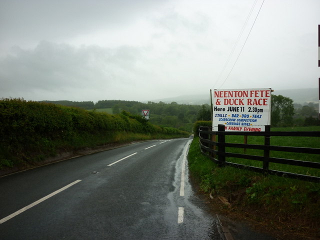
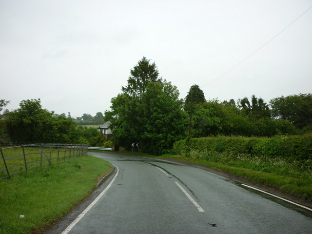
Neenton Images

Images are sourced within 2km of 52.485672/-2.529189 or Grid Reference SO6487. Thanks to Geograph Open Source API. All images are credited.

Wrickton Watermill The overshot wheel is on the right hand side of the building.
Wrickton Watermill
The overshot wheel is on the right hand side of the building.
Wrickton Watermill - East elevation The overshot wheel is powered by water taken from the Cleobury Brook.
Wrickton Watermill - East elevation
The overshot wheel is powered by water taken from the Cleobury Brook.
Wheel and Valve Tank at Wrickton Watermill Overshot wheel with valve control tank. The wheel drove three sets of stones.
Wheel and Valve Tank at Wrickton Watermill
Overshot wheel with valve control tank. The wheel drove three sets of stones.
Inlet pipes and valve tank at Wrickton Watermill Three substantial pipes feed into the valve tank at the watermill. The tank distributes the water flow evenly across the wheel and allows the volume of water and power of the wheel to be controlled from inside the mill.
Inlet pipes and valve tank at Wrickton Watermill
Three substantial pipes feed into the valve tank at the watermill. The tank distributes the water flow evenly across the wheel and allows the volume of water and power of the wheel to be controlled from inside the mill.
Wrickton Watermill - North Elevation The mill stream is taken from the nearby Cleobury Brook to power the overshot wheel.
Wrickton Watermill - North Elevation
The mill stream is taken from the nearby Cleobury Brook to power the overshot wheel.
Not just another muddy field <a href="https://www.geograph.org.uk/photo/1038588">SO6687 : Just another muddy field</a>
Not just another muddy field
Fields above the Winterburn Brook The Brown Clee is in the distance.
Fields above the Winterburn Brook
The Brown Clee is in the distance.
Rebuilt bridge on the Winterburn Brook The demolished bridge has been replaced by a black plastic culvert. A secondary pipe acts as an overflow.The gabion ledge seems a curious spot for dumping old televisions.
Rebuilt bridge on the Winterburn Brook
The demolished bridge has been replaced by a black plastic culvert. A secondary pipe acts as an overflow.The gabion ledge seems a curious spot for dumping old televisions.
Upstream on the Winterburn Brook The black plastic pipe is an overflow pipe next to the rebuilt bridge.
Upstream on the Winterburn Brook
The black plastic pipe is an overflow pipe next to the rebuilt bridge.
Bridge over the Rea Brook
Upstream on the Rea Brook
Downstream on the Rea Brook
St Peter and St Paul Church, Cleobury North
Entering Neenton
Entering Neenton
The entrance to Bank Farm, Neenton
A footpath leading to Neenton
The B4364 into Neenton
The B4364 at Lower Faintree
Show me another place!

Neenton is located at Grid Ref: SO6487 (Lat: 52.485672, Lng: -2.529189)

Unitary Authority: Shropshire

Police Authority: West Mercia

What 3 Words

///milkman.electric.upsetting. Near Bridgnorth, Shropshire

Nearby Locations

Neenton

Related Wikis

Neenton

Neenton is a civil parish and small village in south east Shropshire, England, which is situated on the B4364 southwest of the market town of Bridgnorth...

Cleobury North Crossing railway station

Cleobury North Crossing railway station was a station in Cleobury North, Shropshire, England. The station was opened in 1908 and closed in 1938. ��2�...

Cleobury North

Cleobury North is a civil parish and small village in south east Shropshire, England. It is situated on the B4364 southwest of the market town of Bridgnorth...

Burwarton Halt railway station

Burwarton Halt railway station was a station in Burwarton, Shropshire, England. The station was opened in 1908 and closed in 1938. == References == �...

Nearby Amenities

Located within 500m of 52.485672,-2.529189
Neenton
Place: village
Source: npe
Lat/Long: 52.4868767/-2.5344653
Pub
The Pheasant
Addr City: Neenton
Addr Country: GB
Addr Postcode: WV16 6RJ
Fhrs Authority: Shropshire
Fhrs Id: 737766
Fhrs Local Authority Id: 33246
Toilets: yes
Toilets Wheelchair: yes
Wheelchair: yes
Lat/Long: 52.4859035/-2.5353423
The data included in this document is from www.openstreetmap.org. The data is made available under ODbL.

Have you been to Neenton?

Leave your review of Neenton below (or comments, questions and feedback).