Midgham
Civil Parish in Berkshire
England
Midgham
Midgham is a civil parish located in the county of Berkshire, England. Situated approximately 7 miles east of Newbury, it covers an area of around 6 square miles. The parish is predominantly rural, with a population of around 500 people.
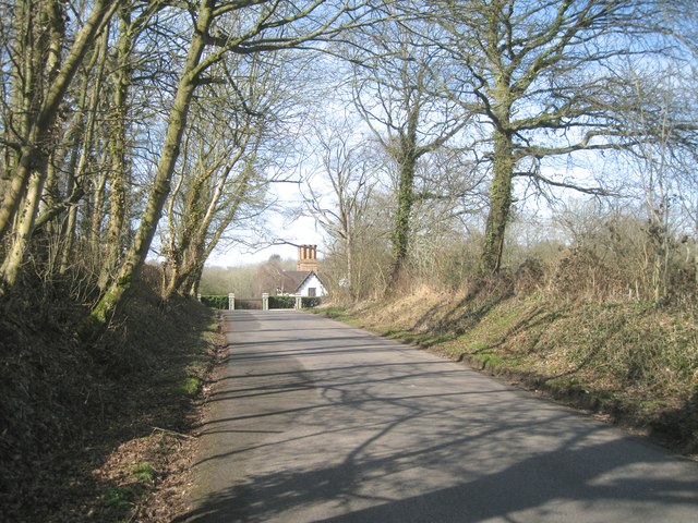
The village of Midgham is the main settlement within the parish. It is a charming and picturesque village that boasts a rich history dating back to medieval times. The village is characterized by its traditional thatched cottages and historic buildings, such as St. Matthew's Church, which dates back to the 13th century.
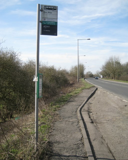
Although Midgham is primarily a residential area, it offers a range of amenities to its residents. These include a primary school, a village hall, a post office, and a local pub. The village also benefits from a regular bus service, providing convenient transport links to nearby towns and cities.
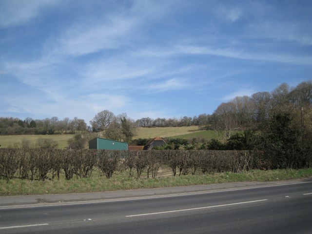
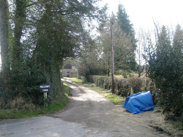
The surrounding countryside of Midgham is renowned for its natural beauty, with rolling hills, meadows, and woodlands. This makes it an ideal location for outdoor activities such as walking, cycling, and horse riding. The parish is also home to a number of farms, contributing to its agricultural heritage.
Overall, Midgham offers a peaceful and idyllic rural lifestyle, while still providing easy access to nearby urban centers. Its historic charm, natural surroundings, and range of amenities make it an attractive place to live for those seeking a quintessentially English village experience.
If you have any feedback on the listing, please let us know in the comments section below.
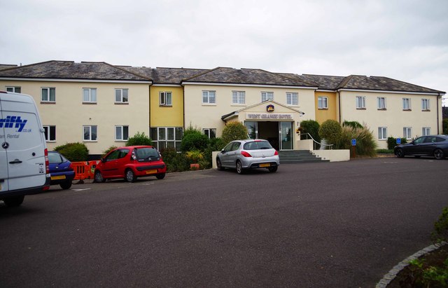
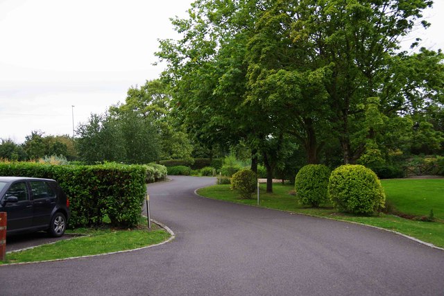
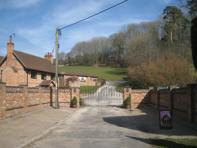
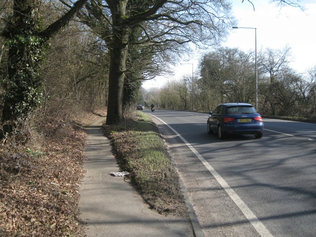
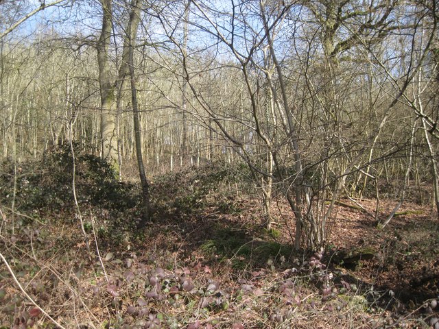
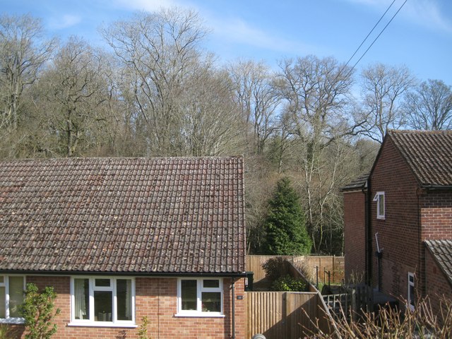
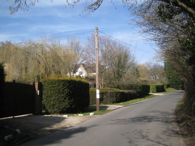
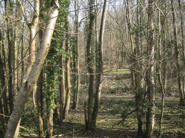
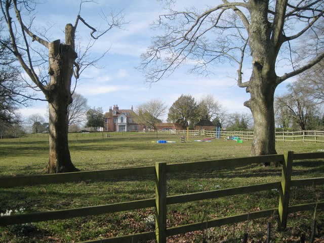
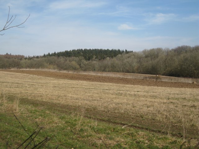
Midgham Images
Images are sourced within 2km of 51.401353/-1.20145 or Grid Reference SU5567. Thanks to Geograph Open Source API. All images are credited.


Midgham is located at Grid Ref: SU5567 (Lat: 51.401353, Lng: -1.20145)
Unitary Authority: West Berkshire
Police Authority: Thames Valley
What 3 Words
///bookings.aliens.pines. Near Thatcham, Berkshire
Nearby Locations
Related Wikis

Midgham
Midgham is a village and civil parish occupying slopes and the flood plain on the north side of the River Kennet, which in summer months draws much of...

Heale's Lock
Heale's Lock is a lock on the Kennet and Avon Canal, between Thatcham and Woolhampton, Berkshire, England. Heale's Lock was built between 1718 and 1723...

Midgham Green
Midgham Green is a hamlet in the civil parish of Midgham in the English county of Berkshire. The settlement lies near to the A4 road and is located approximately...

Midgham Lock
Midgham Lock is a lock on the Kennet and Avon Canal, between Thatcham and Woolhampton, Berkshire, England. Midgham Lock was built between 1718 and 1723...
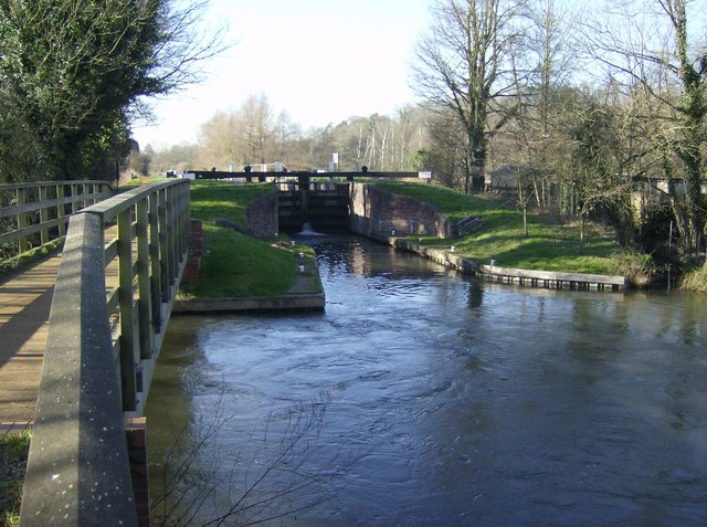
Woolhampton Lock
Woolhampton Lock is a lock on the Kennet and Avon Canal, in the village of Woolhampton in the English county of Berkshire. The lock has a rise/fall of...

Colthrop
Colthrop is a suburb of the town of Thatcham in the English county of Berkshire, England. == Geography == Colthrop is part of the civil parish of Thatcham...
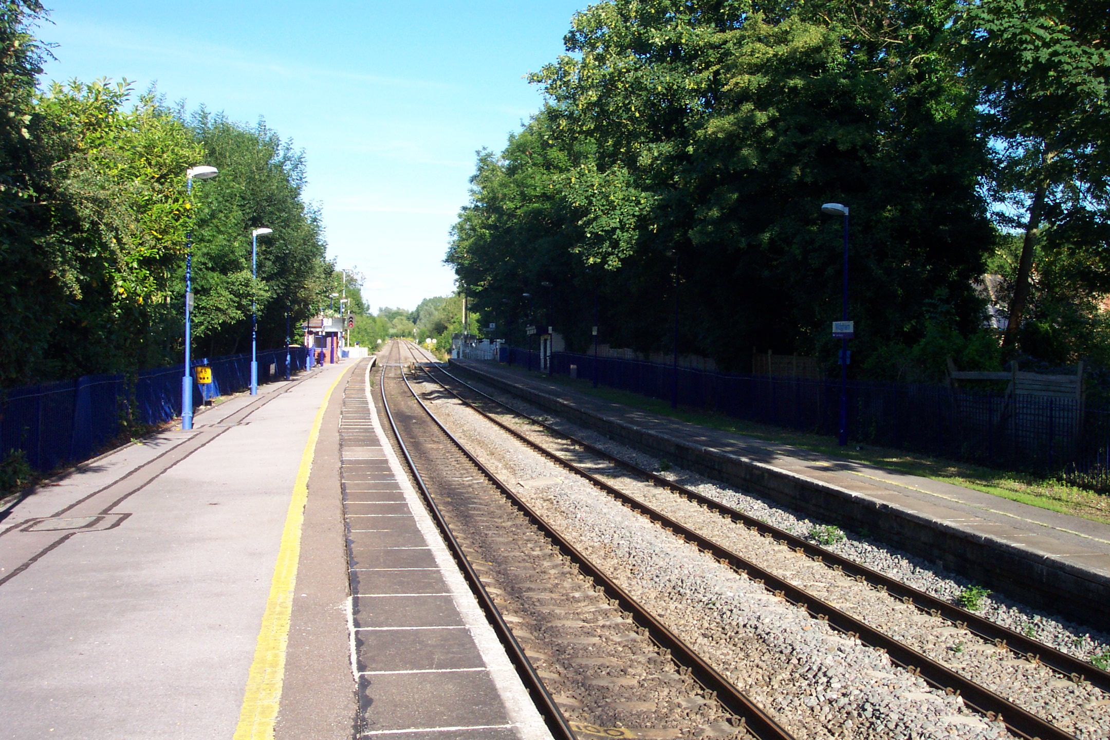
Midgham railway station
Midgham railway station, formerly known as Woolhampton railway station, is a railway station in the English county of Berkshire. It is located in the village...

Woolhampton
Woolhampton is a village and civil parish in West Berkshire, England. The village straddles the Bath Road between the towns of Reading, 8 mi (13 km) to...
Nearby Amenities
Located within 500m of 51.401353,-1.20145Have you been to Midgham?
Leave your review of Midgham below (or comments, questions and feedback).