Eight Acre Copse
Wood, Forest in Berkshire
England
Eight Acre Copse
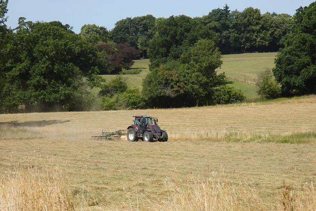
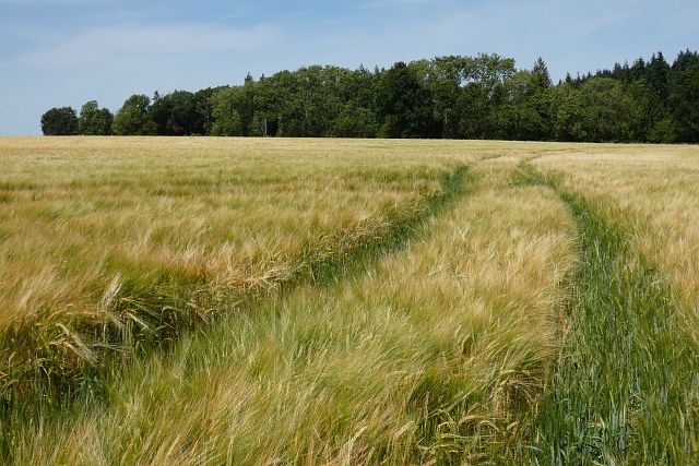
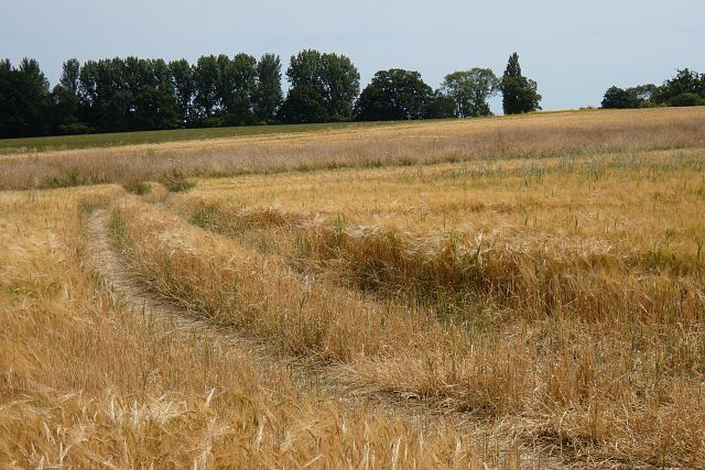
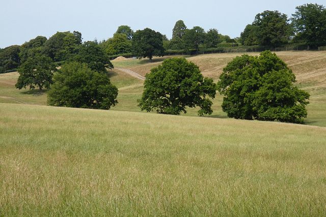
Eight Acre Copse is a small woodland area located in the county of Berkshire, England. Situated near the town of Reading, this copse covers an area of approximately eight acres, as its name suggests. It is a popular destination for nature lovers and outdoor enthusiasts, offering a peaceful and scenic retreat from the bustling urban environment.
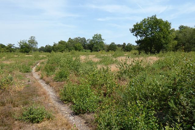
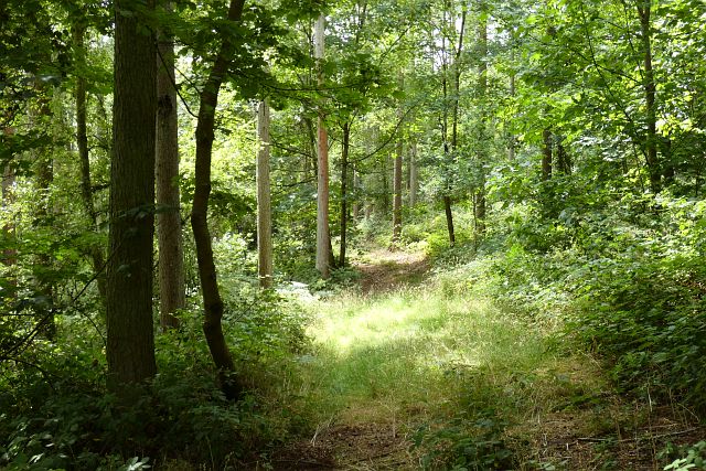
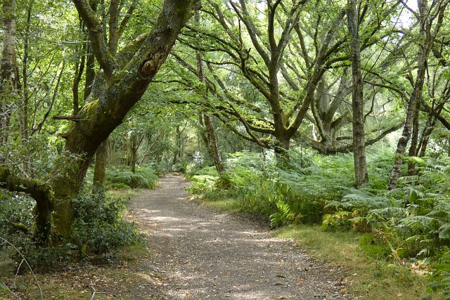
The copse is primarily made up of mature deciduous trees, including oak, beech, and ash, which provide a dense canopy, offering shade and shelter to a variety of plant and animal species. The forest floor is covered with a rich carpet of moss, ferns, and wildflowers, creating a vibrant and diverse ecosystem.
Eight Acre Copse is home to a wide range of wildlife, including squirrels, rabbits, and various bird species. Visitors may catch glimpses of woodpeckers, robins, and thrushes as they explore the woodland trails. The copse also attracts a variety of insects, such as butterflies and bees, which contribute to the pollination of the surrounding flora.
The copse is crisscrossed by a network of footpaths, allowing visitors to explore its beauty while enjoying a leisurely stroll or engaging in activities like birdwatching or photography. The tranquil atmosphere and the sounds of nature make it an ideal location for those seeking solace and relaxation.
Overall, Eight Acre Copse in Berkshire is a charming woodland retreat, offering a haven for nature enthusiasts and a glimpse into the diverse and captivating world of the forest ecosystem.
If you have any feedback on the listing, please let us know in the comments section below.
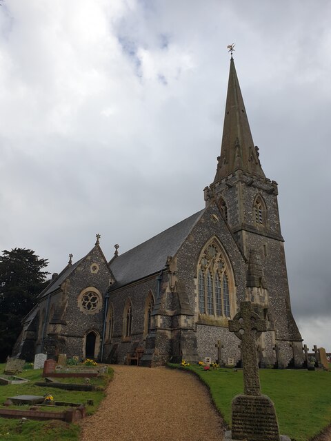
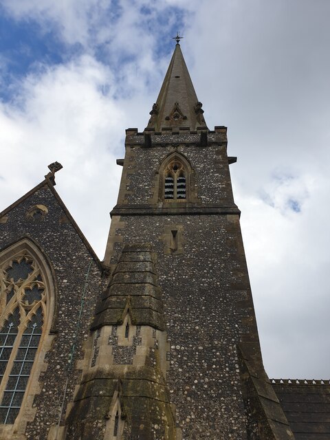
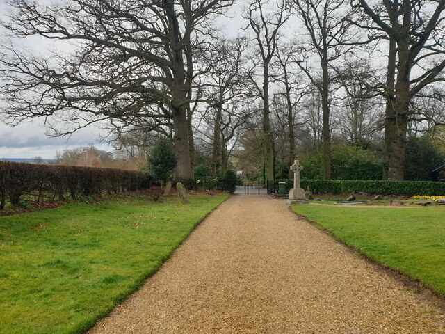
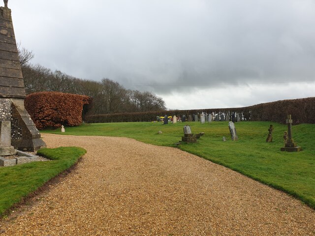
Eight Acre Copse Images
Images are sourced within 2km of 51.407574/-1.2013553 or Grid Reference SU5567. Thanks to Geograph Open Source API. All images are credited.


Eight Acre Copse is located at Grid Ref: SU5567 (Lat: 51.407574, Lng: -1.2013553)
Unitary Authority: West Berkshire
Police Authority: Thames Valley
What 3 Words
///voting.rationed.beaters. Near Thatcham, Berkshire
Nearby Locations
Related Wikis

Midgham
Midgham is a village and civil parish occupying slopes and the flood plain on the north side of the River Kennet, which in summer months draws much of...

Midgham Green
Midgham Green is a hamlet in the civil parish of Midgham in the English county of Berkshire. The settlement lies near to the A4 road and is located approximately...

Bucklebury Common
Bucklebury Common is an elevated common consisting of woodland with a few relatively small clearings in the English county of Berkshire, within the civil...

Heale's Lock
Heale's Lock is a lock on the Kennet and Avon Canal, between Thatcham and Woolhampton, Berkshire, England. Heale's Lock was built between 1718 and 1723...

Colthrop
Colthrop is a suburb of the town of Thatcham in the English county of Berkshire, England. == Geography == Colthrop is part of the civil parish of Thatcham...

Midgham Lock
Midgham Lock is a lock on the Kennet and Avon Canal, between Thatcham and Woolhampton, Berkshire, England. Midgham Lock was built between 1718 and 1723...
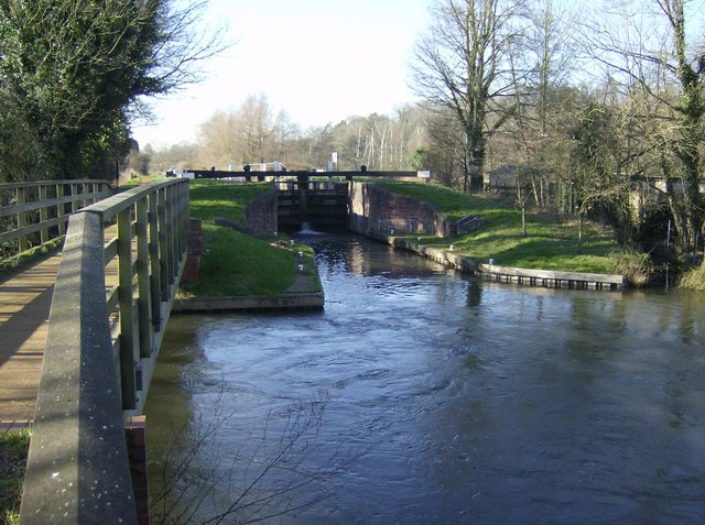
Woolhampton Lock
Woolhampton Lock is a lock on the Kennet and Avon Canal, in the village of Woolhampton in the English county of Berkshire. The lock has a rise/fall of...
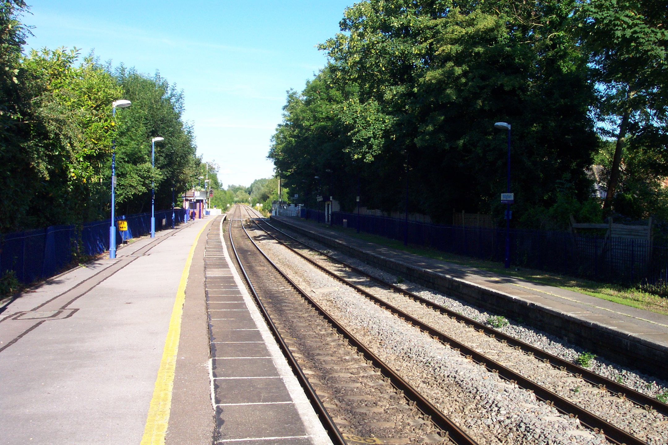
Midgham railway station
Midgham railway station, formerly known as Woolhampton railway station, is a railway station in the English county of Berkshire. It is located in the village...
Nearby Amenities
Located within 500m of 51.407574,-1.2013553Have you been to Eight Acre Copse?
Leave your review of Eight Acre Copse below (or comments, questions and feedback).