Grunthill Copse
Wood, Forest in Oxfordshire Cherwell
England
Grunthill Copse

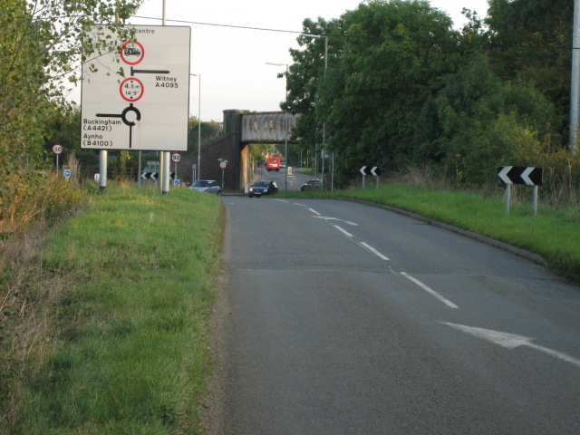
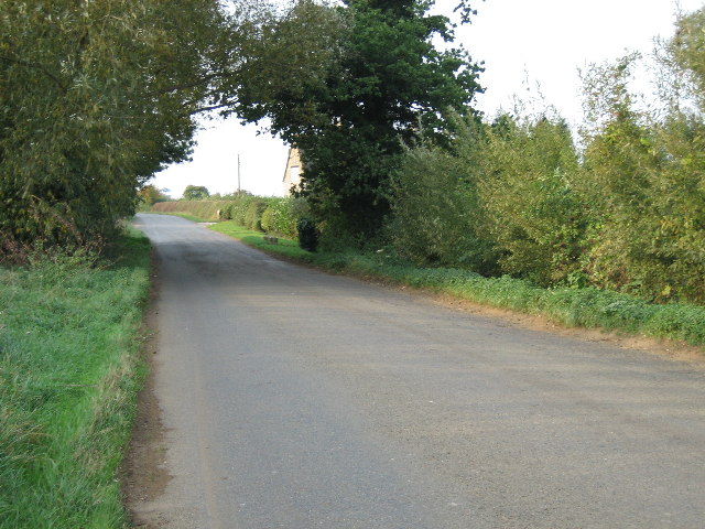
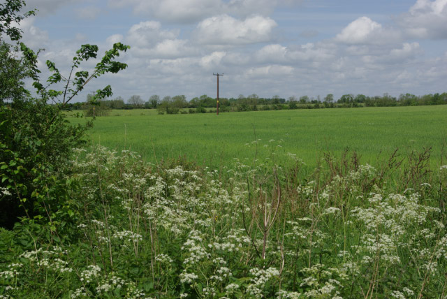
Grunthill Copse is a picturesque woodland located in Oxfordshire, England. This enchanting forest covers an expansive area of approximately 100 acres, providing a serene and tranquil escape from the bustling city life. The copse is situated near the village of Grunthill, nestled between rolling hills and meandering streams.
Once inside the copse, visitors are greeted by a diverse range of flora and fauna. Towering oak, beech, and birch trees dominate the landscape, forming a dense canopy that filters sunlight and creates a soothing ambiance. The forest floor is adorned with a carpet of bluebells during the spring season, painting the woodland in a sea of vibrant hues.
Grunthill Copse is a haven for wildlife enthusiasts and nature lovers alike. The copse is home to a plethora of animals, including deer, foxes, badgers, and a rich variety of bird species. Birdwatchers can spot woodpeckers, owls, and thrushes, among others. The copse's diverse ecosystem also supports a wide range of insects and small mammals, adding to its biodiversity.
The copse features several well-maintained walking trails, allowing visitors to explore its natural beauty at their leisure. These paths wind through the ancient woodland, providing glimpses of hidden glades and babbling brooks. The copse offers a peaceful retreat for those seeking solitude, as well as a perfect setting for family picnics and outdoor activities.
Grunthill Copse is a true gem of Oxfordshire, offering a glimpse into the region's natural heritage. Its idyllic setting, abundant wildlife, and tranquil atmosphere make it a must-visit destination for nature enthusiasts and those looking to escape the hustle and bustle of everyday life.
If you have any feedback on the listing, please let us know in the comments section below.
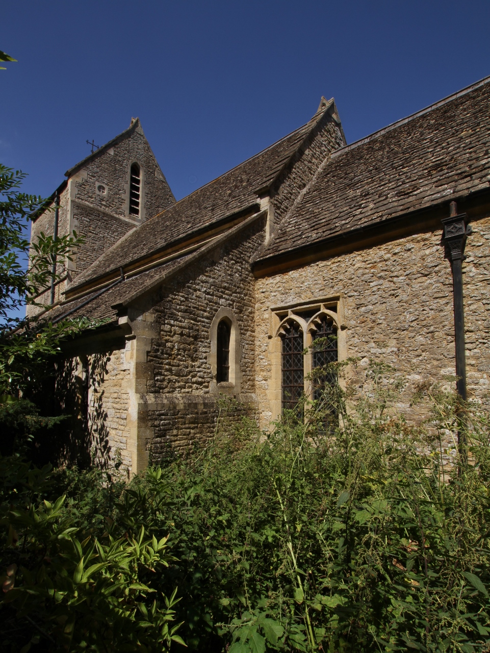
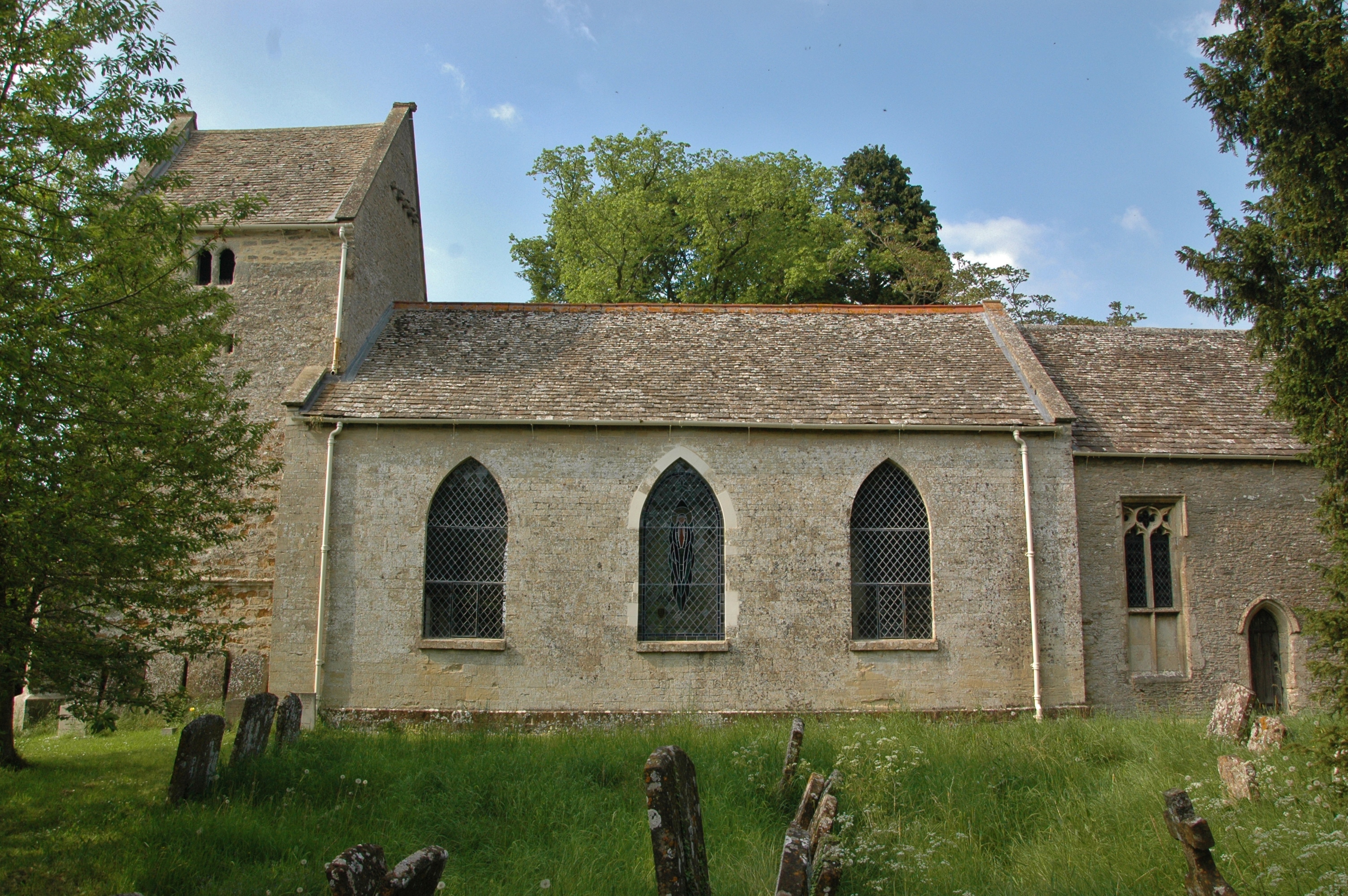
Grunthill Copse Images
Images are sourced within 2km of 51.919933/-1.1922696 or Grid Reference SP5524. Thanks to Geograph Open Source API. All images are credited.


Grunthill Copse is located at Grid Ref: SP5524 (Lat: 51.919933, Lng: -1.1922696)
Administrative County: Oxfordshire
District: Cherwell
Police Authority: Thames Valley
What 3 Words
///emeralds.amber.obstinate. Near Bicester, Oxfordshire
Nearby Locations
Related Wikis
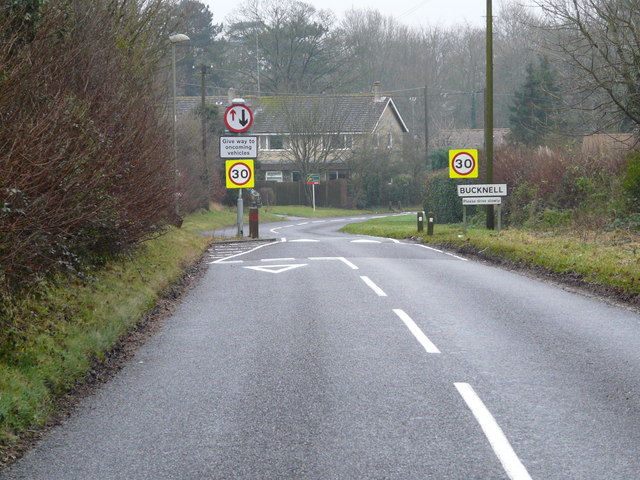
Bucknell, Oxfordshire
Bucknell is a village and civil parish 2+1⁄2 miles (4 km) northwest of Bicester in Oxfordshire, England. The 2011 Census recorded the parish's population...
Ardley Trackways
Ardley Trackways is a 63.6-hectare (157-acre) geological Site of Special Scientific Interest north-west of Bicester in Oxfordshire. It is a Geological...
Caversfield
Caversfield is a village and civil parish about 1+1⁄2 miles (2.4 km) north of the centre of Bicester. In 1844 Caversfield became part of Oxfordshire, but...

Bure Park
Bure Park is a 8.4-hectare (21-acre) Local Nature Reserve in Bicester in Oxfordshire. It is owned by Bicester Town Council and managed by Cherwell District...
Ardley, Oxfordshire
Ardley is a village and civil parish in Oxfordshire, England, about 4 miles (6.4 km) northwest of Bicester. The parish includes the village of Fewcott...

Middleton Stoney
Middleton Stoney is a village and civil parish about 2+1⁄2 miles (4 km) west of Bicester, Oxfordshire. The 2011 Census recorded the parish's population...
Ardley railway station
Ardley railway station was a railway station serving the village of Ardley in Oxfordshire, England. It was on what is now known as the Chiltern Main Line...

Ardley Castle
Ardley Castle was a castle to the southwest of the village of Ardley, Oxfordshire, England. At present only some of its ruins, most notably an oval enclosure...
Nearby Amenities
Located within 500m of 51.919933,-1.1922696Have you been to Grunthill Copse?
Leave your review of Grunthill Copse below (or comments, questions and feedback).